
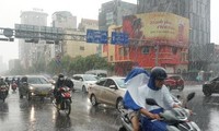
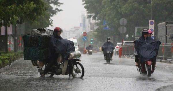
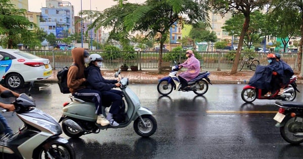
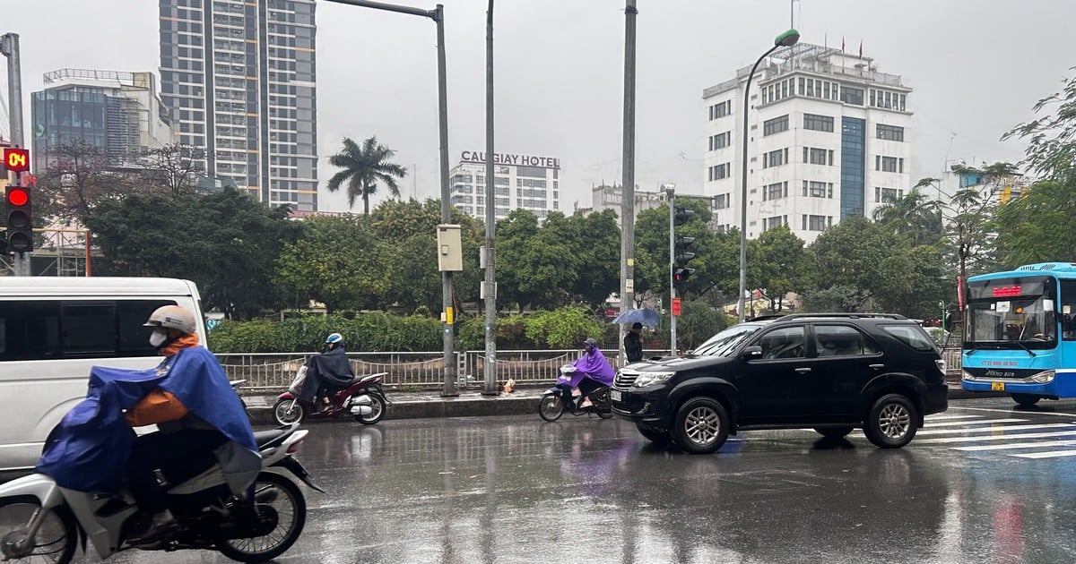
TPO - The Meteorological Agency predicts that in the coming days, rain will tend to increase in Ho Chi Minh City and the South. During thunderstorms, beware of strong gusts of wind, whirlwinds, and lightning.
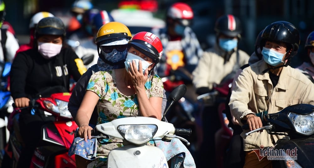
According to the Southern Hydrometeorological Station, in the past 24 hours, severe heat waves occurred widely in the Southern region. The highest temperature ranged from 35-39 degrees Celsius, the highest in the Eastern region was Thu Dau Mot - Binh Duong at 38.9 degrees Celsius, the highest in the Western region was 38.5 degrees recorded in Cao Lanh - Dong Thap and Vinh Long.
Ho Chi Minh City continues to experience widespread heat, with the highest temperature recorded at Tan Son Nhat at 38 degrees Celsius.
It is forecasted that in the next 3-5 days, the intensity of heat will tend to decrease and narrow in Ho Chi Minh City and the Southern region.
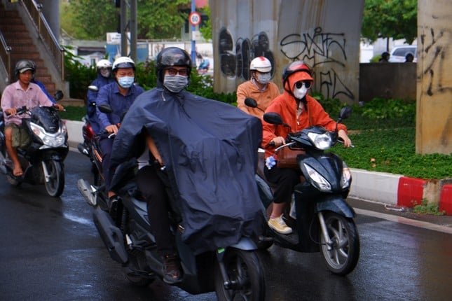 |
The Meteorological Agency forecasts that in the coming days, rain will tend to increase in Ho Chi Minh City and the South. (Illustration: Huu Huy) |
Assessing the weather situation in Ho Chi Minh City, the Southern Hydrometeorological Station said that in the next 2-10 days, the subtropical high pressure system with an axis crossing the Central and South Central regions will have stable intensity. Disturbances in the upper easterly wind zone (causing rain) tend to move inland, affecting the weather in Ho Chi Minh City from May 4-6 and May 8-9.
“The weather is extremely hot, with the lowest humidity, only 35-45%, the weather is dry and hot, need to be careful of the risk of fire, explosion, electrical short circuit. In the coming days, rain tends to increase in the evening, during thunderstorms, be careful of strong gusts of wind, whirlwinds, lightning” - Southern Hydrometeorological Station forecast.


Source: https://tienphong.vn/mua-gia-tang-tai-tphcm-nhung-ngay-cuoi-tuan-post1633916.tpo

![[Photo] Looking back at the impressive moments of the Vietnamese rescue team in Myanmar](https://vstatic.vietnam.vn/vietnam/resource/IMAGE/2025/4/11/5623ca902a934e19b604c718265249d0)


![[Photo] "Beauties" participate in the parade rehearsal at Bien Hoa airport](https://vstatic.vietnam.vn/vietnam/resource/IMAGE/2025/4/11/155502af3384431e918de0e2e585d13a)


![[Photo] Summary of parade practice in preparation for the April 30th celebration](https://vstatic.vietnam.vn/vietnam/resource/IMAGE/2025/4/11/78cfee0f2cc045b387ff1a4362b5950f)


Comment (0)