
Pu Dao is one of 11 highland communes of Nam Nhun district located on the western border of Lai Chau province, 40km from Nam Nhun town, 130km from Lai Chau city and more than 560km from Hanoi.
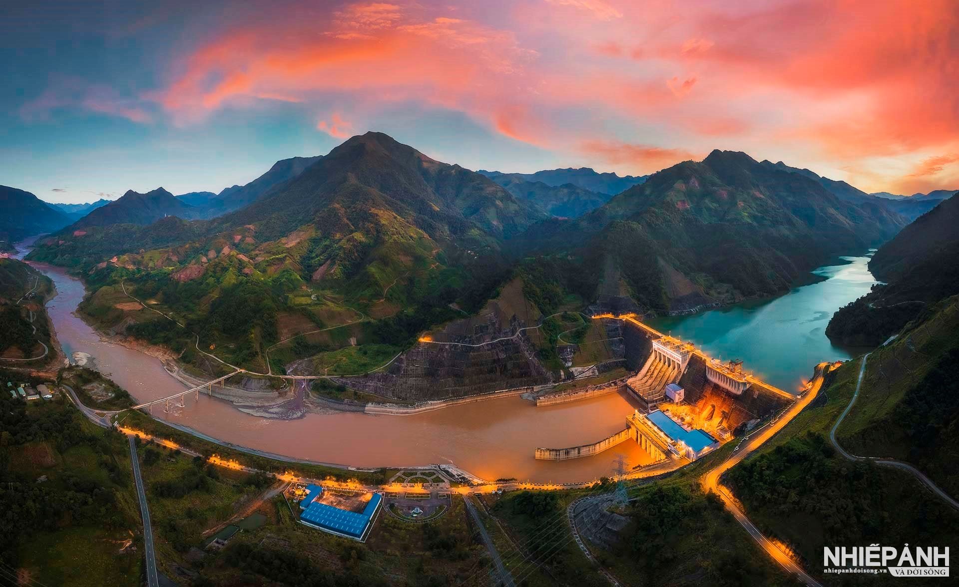
Pu Dao Peak, along with Lai Chau Hydroelectric Plant and King Le Loi Temple are three important places that anyone visiting Nam Nhun should not miss. To reach Pu Dao, you have to travel about 24km across Lai Ha Bridge, a bridge spanning a tributary of the Da River.
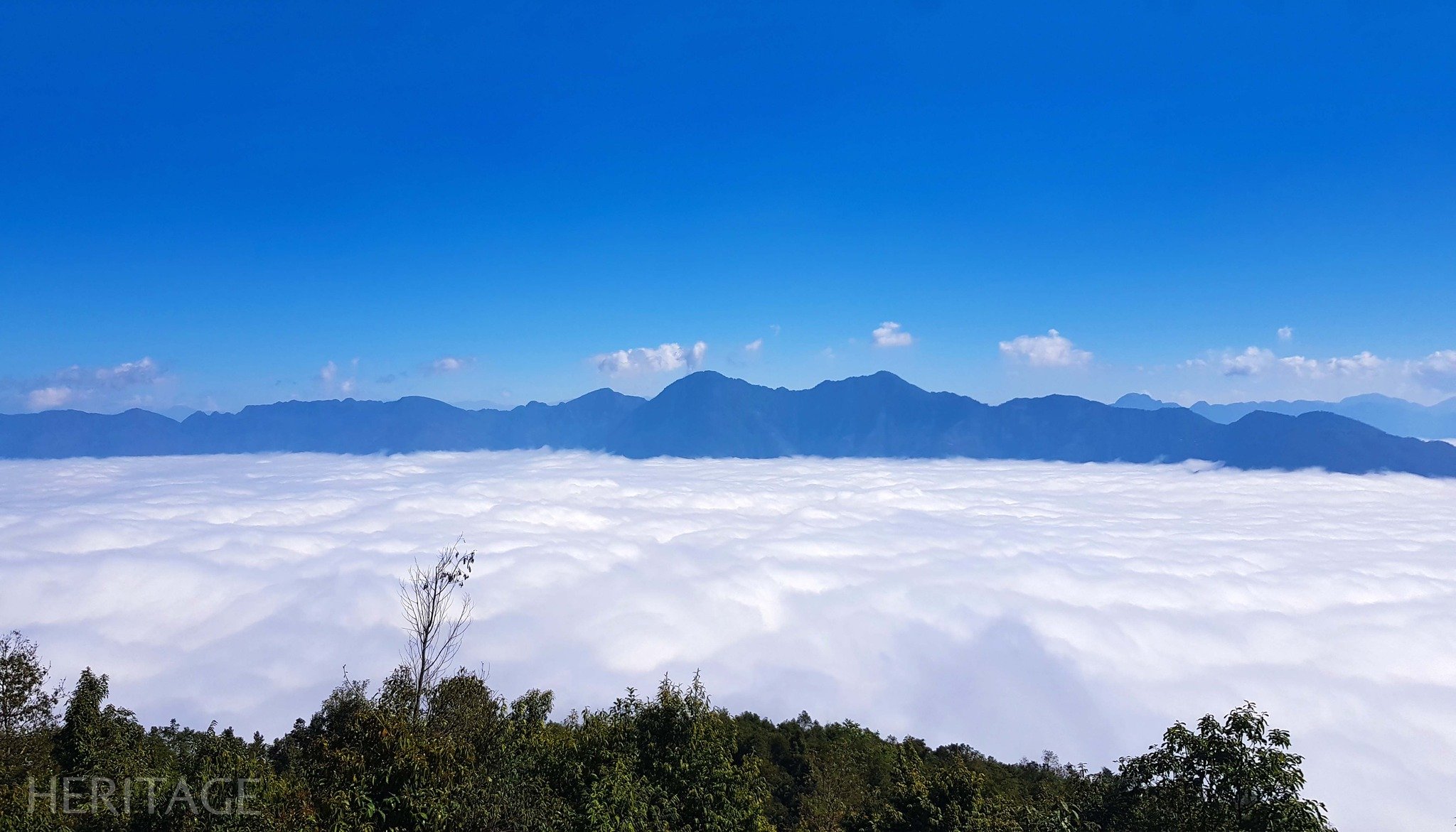
Pu Dao in H'Mong language means "the highest point" because when standing on the top of this mountain, you feel like you are about to touch the blue sky and blend in with the magical river of clouds.
For those who love adventure, the wild natural space of Pu Dao is the ideal destination. The trekking journey to Pu Dao peak will start from Nam Doong village with a distance of about 3 - 5km, sometimes quite difficult when having to locate and grope to find the way in and out.
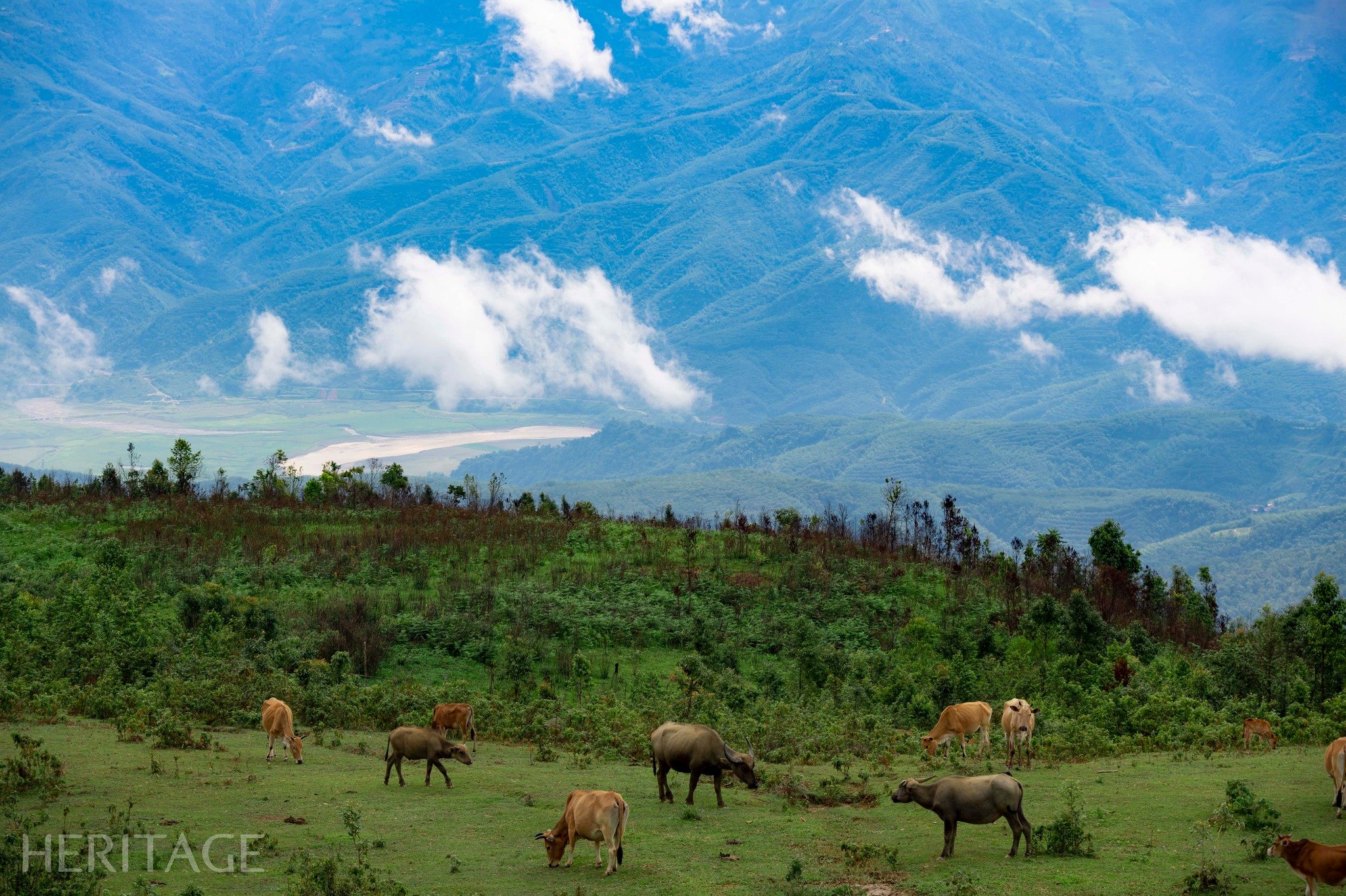
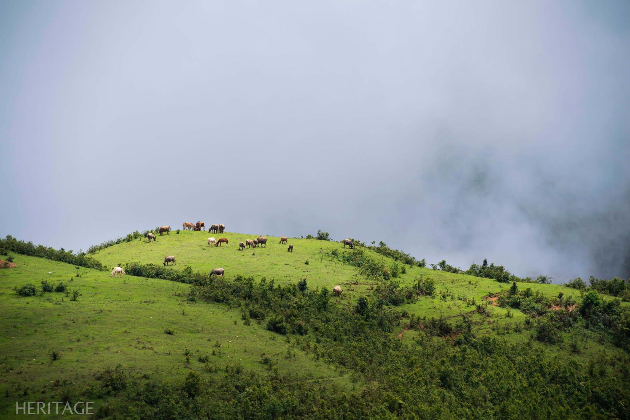
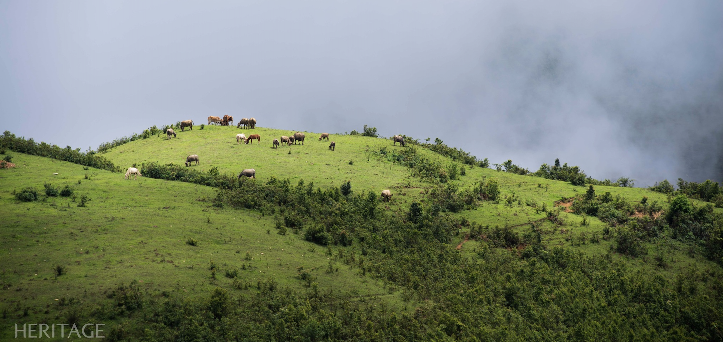
During the season when the black turmeric tree blooms, you can also see the vast expanse of pure white turmeric flowers showing off in the sun and wind. On the hillsides covered with green grass are buffaloes, cows and horses leisurely grazing amidst the chirping of birds calling their flocks.
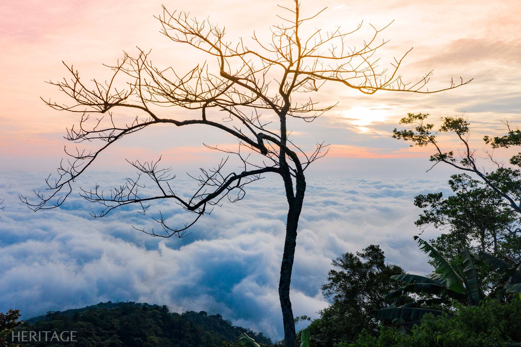
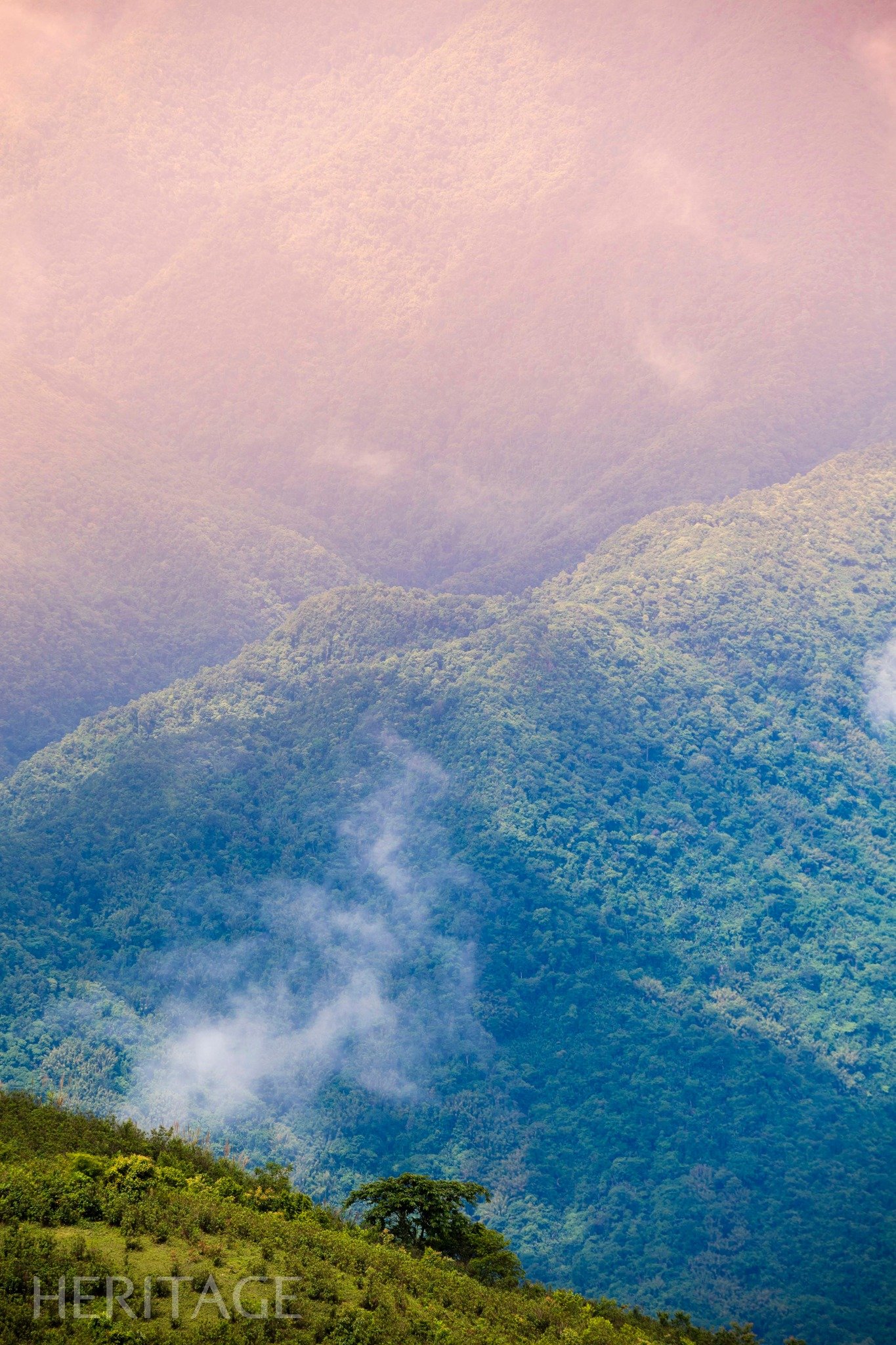
The road has many steep sections with high mountains and deep ravines that sometimes make your legs and knees tired, but finally Pu Dao peak appears. The air on the high mountain top is fresh and clean, making all fatigue disappear. The sparkling sunlight shines straight down on the river flowing endlessly below.
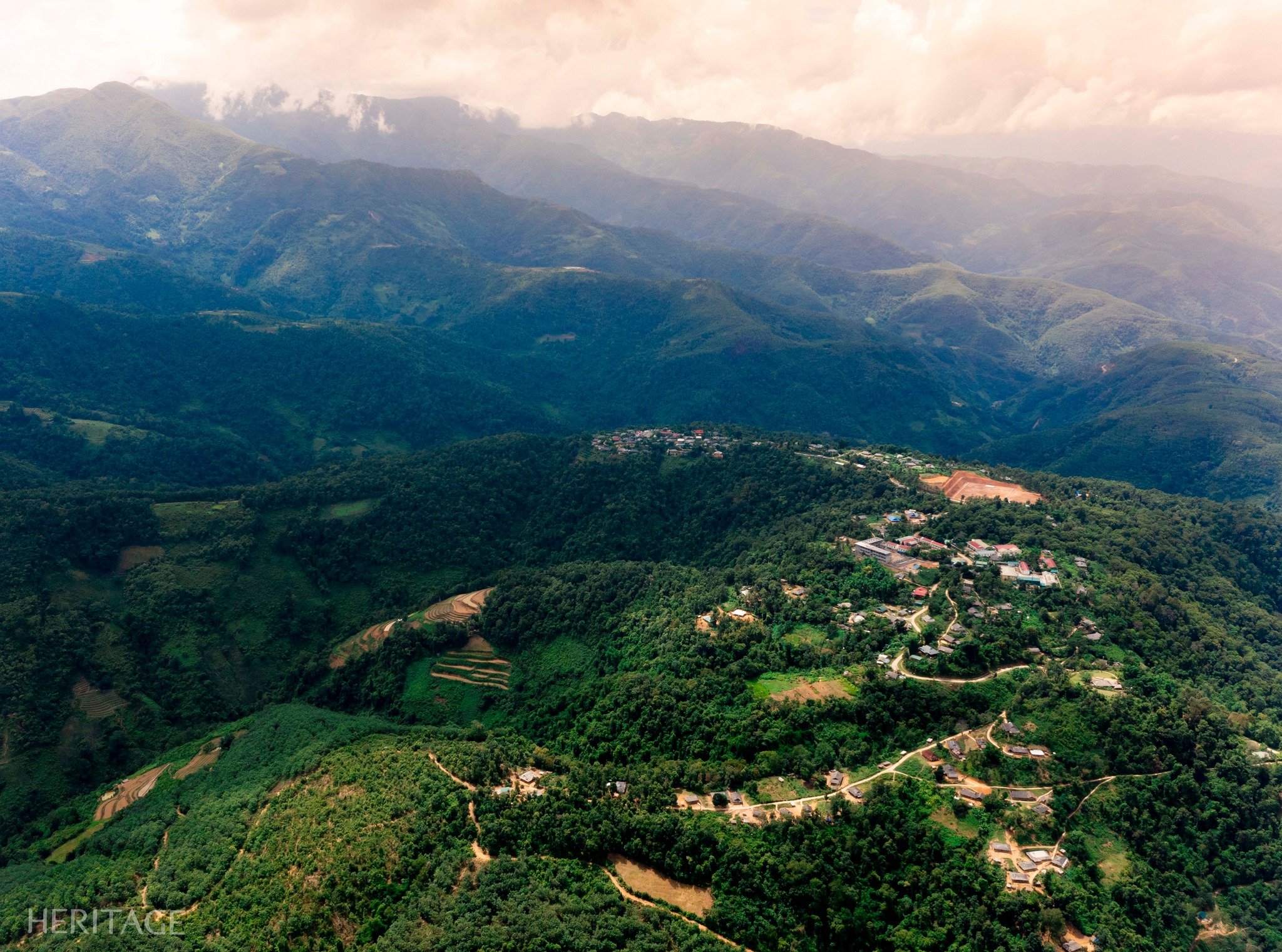
Clumps of fluffy clouds floated, drifting in the quiet of the mountains and hills. The trees and grass were lush, the flowers and leaves were in full bloom. The path to the top looked like a thin thread across the old forest from above. The villages appeared and disappeared in the mist and clouds.
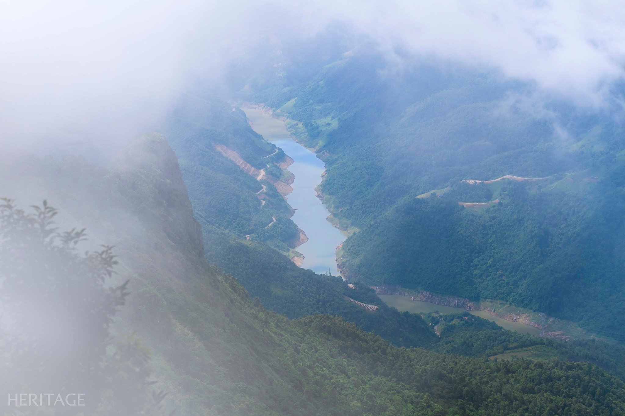
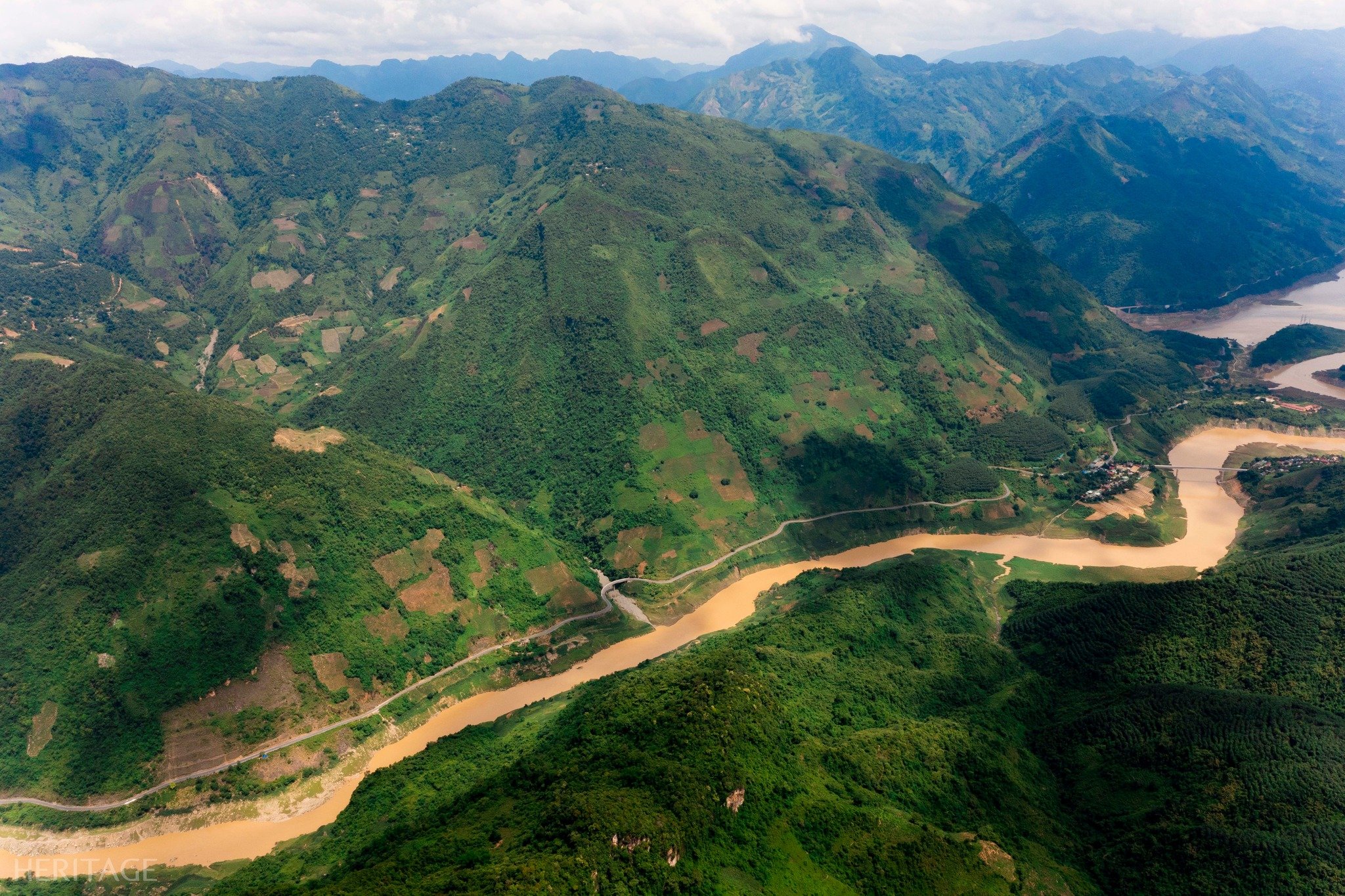
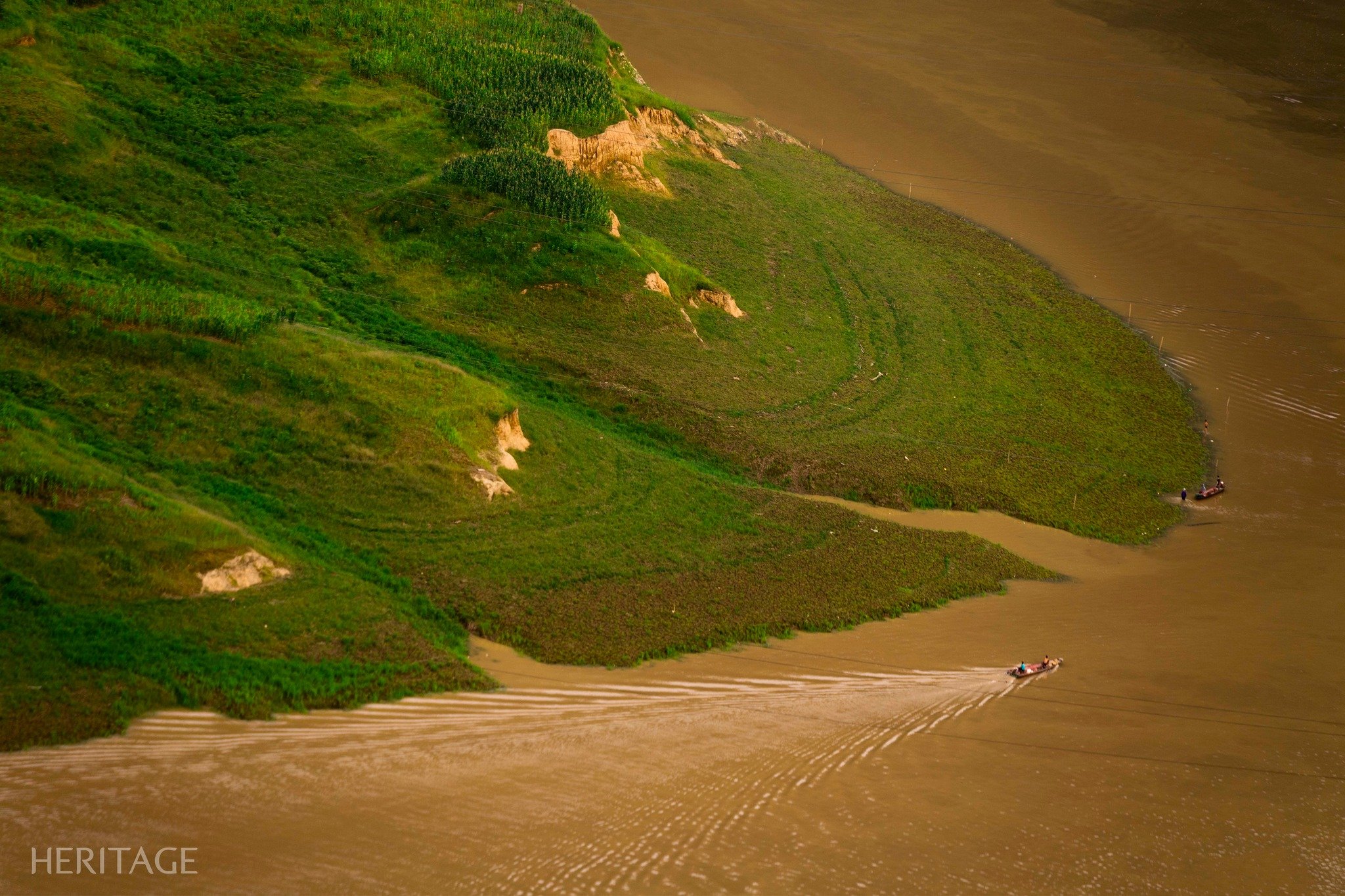
Looking to the east, we see the Da River flowing tirelessly from the Northwest. At the river's confluence, it becomes even more abundant when it receives additional water from the tributary of the Nam Na River.
The Da River, when flowing through two mountain ranges, creates a V-shaped intersection and there are a few days a year when the sun rises right in the middle of that V, and only the very lucky have the chance to witness it. People in Lai Ha, Hang Tom, Doi Cao, Muong Lay, Le Loi… consider the river as a close friend because it has been with them since their childhood and nurtured them with its abundant cool water. On the river, boats cut through the waves and glide in the sparkling dawn, then lie quietly reflecting in the twilight.
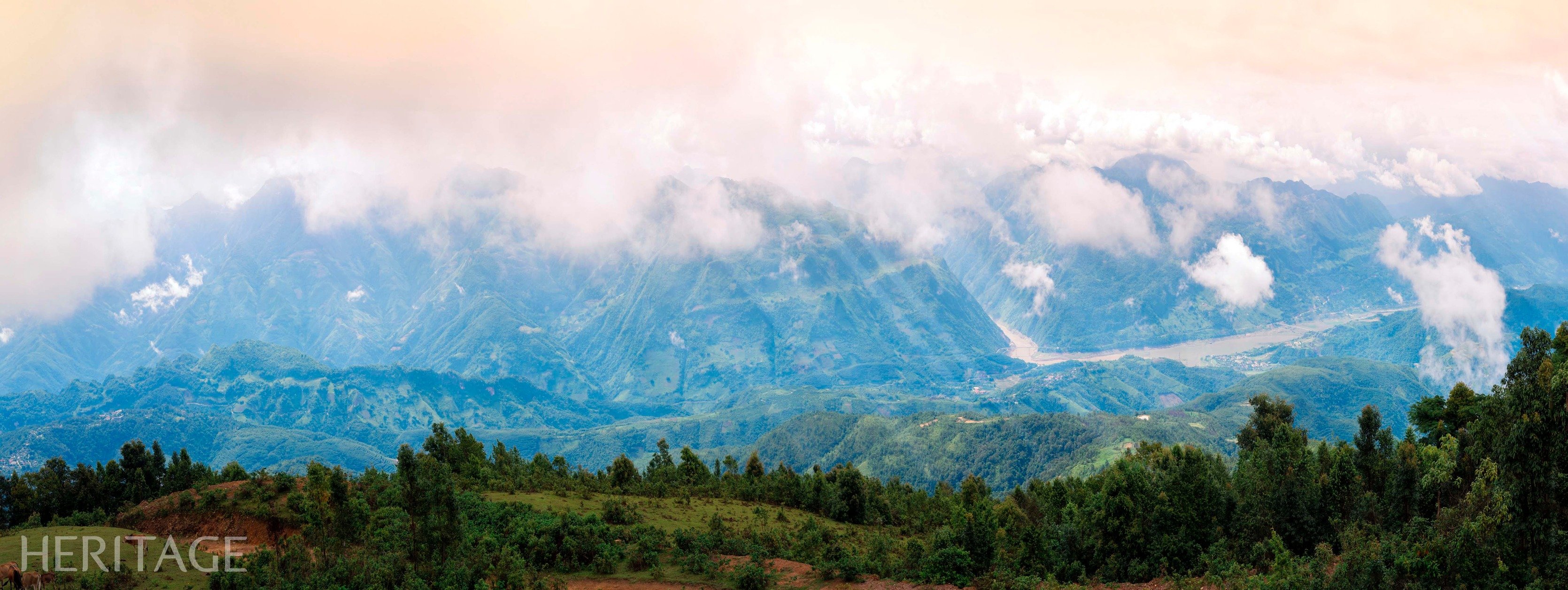
Looking to the west, the Nam Na River flows gently, winding around the fertile fields of Chan Nua Commune - Sin Ho District. Nearby is Pu Huoi Cho Peak and the Le Loi stone stele relic, lying peacefully through many rainy and sunny seasons. The interesting point is that at the end of the journey, visitors will go north through the forest to Nam Hang Commune (bordering Le Loi and Pu Dao Communes) instead of returning to the original starting point.
Heritage Magazine
![[Photo] National Assembly Chairman Tran Thanh Man meets with Ethiopian Prime Minister Abiy Ahmed Ali](https://vstatic.vietnam.vn/vietnam/resource/IMAGE/2025/4/16/c196dbc1755d46e4ae7b506c5c15be55)
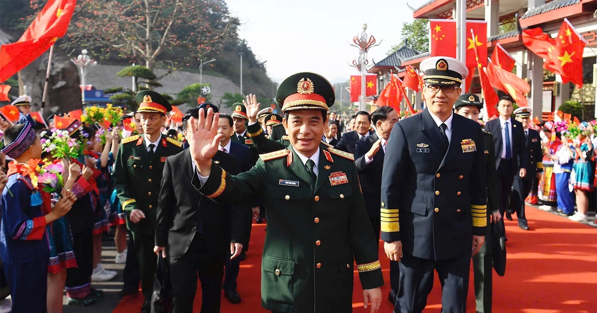
![[Photo] Many practical activities of the 9th Vietnam-China border defense friendship exchange](https://vstatic.vietnam.vn/vietnam/resource/IMAGE/2025/4/16/3016ed3ef51049219574230056ddb741)
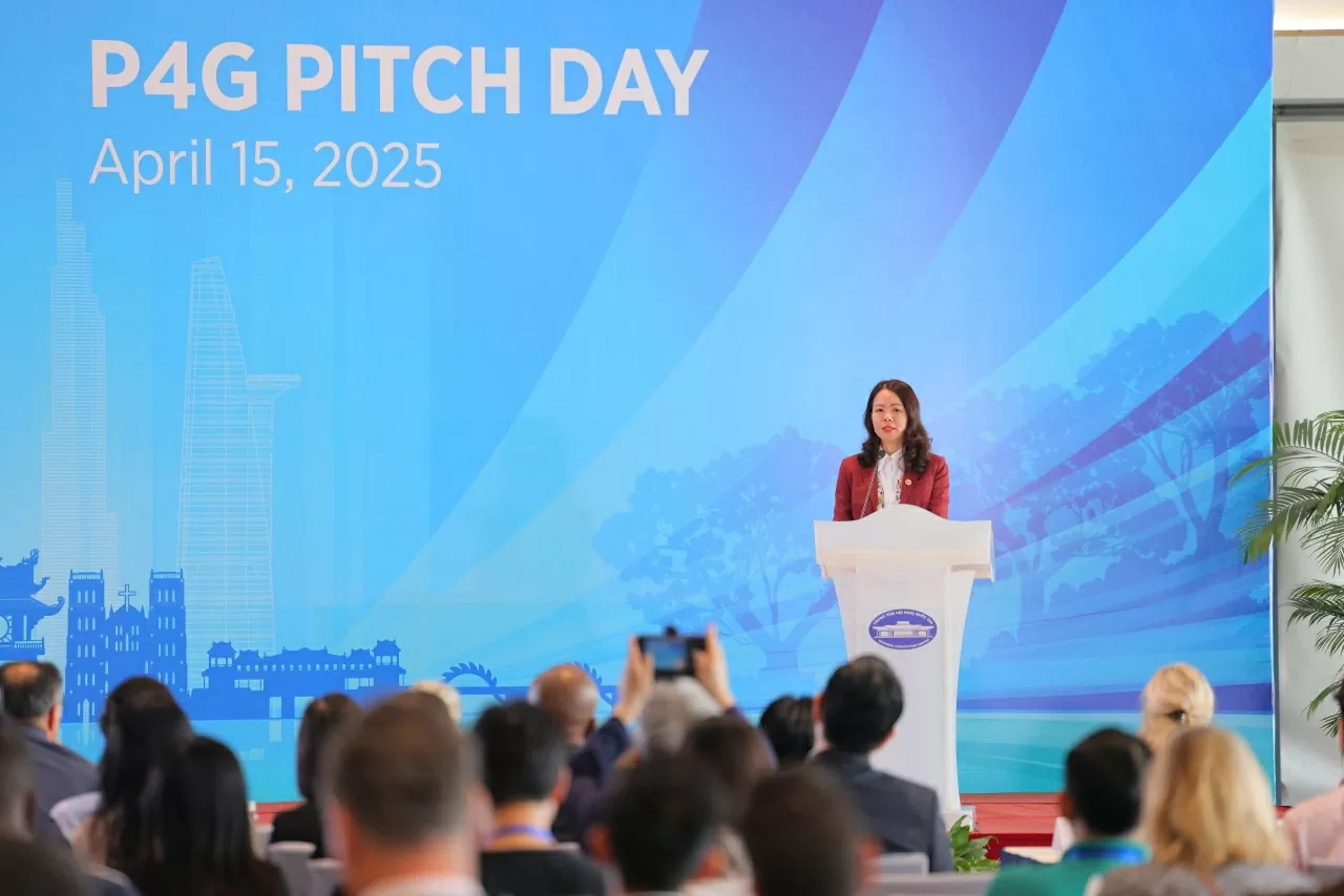
![[Photo] Opening of the 4th Summit of the Partnership for Green Growth and the Global Goals](https://vstatic.vietnam.vn/vietnam/resource/IMAGE/2025/4/16/488550ff07ce4cd9b68a2a9572a6e035)
![[Photo] Opening of the Exhibition on Green Growth](https://vstatic.vietnam.vn/vietnam/resource/IMAGE/2025/4/16/253372a4bb6e4138b6f308bc5c63fd51)
![[Photo] President Luong Cuong meets 100 typical examples of the Deeds of Kindness Program](https://vstatic.vietnam.vn/vietnam/resource/IMAGE/2025/4/16/ce8300edfa7e4afbb3d6da8f2172d580)
![[Photo] President Luong Cuong receives Ethiopian Prime Minister Abiy Ahmed Ali](https://vstatic.vietnam.vn/vietnam/resource/IMAGE/2025/4/16/504685cac833417284c88a786739119c)


![[Infographics] 19 individuals receive Nguyen Dinh Chieu awards](https://vstatic.vietnam.vn/vietnam/resource/IMAGE/2025/4/17/2b2675895f2a466e9fe76c9fd628ca46)


Comment (0)