
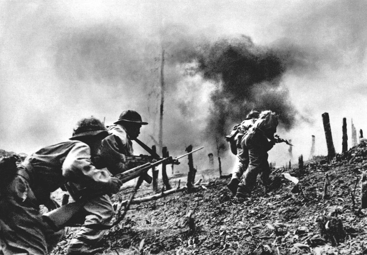
Ukraine's defense leaders have accused Google of accidentally revealing important military locations through its Google Maps application.
The Telegraph reported on November 4 that the head of the National Security Council of Ukraine's anti-disinformation department, Andriy Kovalenko, said that Google had displayed satellite images on maps and revealed the locations of military systems. He said Russia had spread the images to gain information to gain an advantage for the military.

Updated Google Maps satellite images allegedly reveal Ukraine military positions
PHOTO: THE TELEGRAPH SCREENSHOT
In a later statement, Mr. Kovalenko said that Google representatives had contacted Ukraine and were working to fix the problem. Ukrainian officials did not mention which military locations were exposed on Google Maps, an application that allows users to view satellite images.
Russian military bloggers have posted screenshots of what they say are new air defense systems being deployed around an airport near the city of Kyiv. The systems have been identified as US-made Patriot air defense missiles, according to satellite imagery believed to have been taken on September 28, 2023.
Google and its parent company Alphabet, based in the US, have not officially commented on the incident.
Russian army has the strongest progress after more than 2 years in Ukraine?
The latest developments add to Ukraine’s woes. Last week, Ukrainian military chief Oleksandr Syrskyi said troops were facing one of the fiercest attacks from Moscow since the conflict began in 2022.
On November 5, Kyiv Mayor Vitali Klitschko informed that Ukrainian air defense units were intercepting Russian airstrikes on the Ukrainian capital, and called on people to take shelter in shelters.
Source: https://thanhnien.vn/google-maps-lam-lo-vi-tri-bi-mat-cua-ukraine-185241105082355646.htm
![[Photo] Looking back at the impressive moments of the Vietnamese rescue team in Myanmar](https://vstatic.vietnam.vn/vietnam/resource/IMAGE/2025/4/11/5623ca902a934e19b604c718265249d0)


![[Photo] "Beauties" participate in the parade rehearsal at Bien Hoa airport](https://vstatic.vietnam.vn/vietnam/resource/IMAGE/2025/4/11/155502af3384431e918de0e2e585d13a)
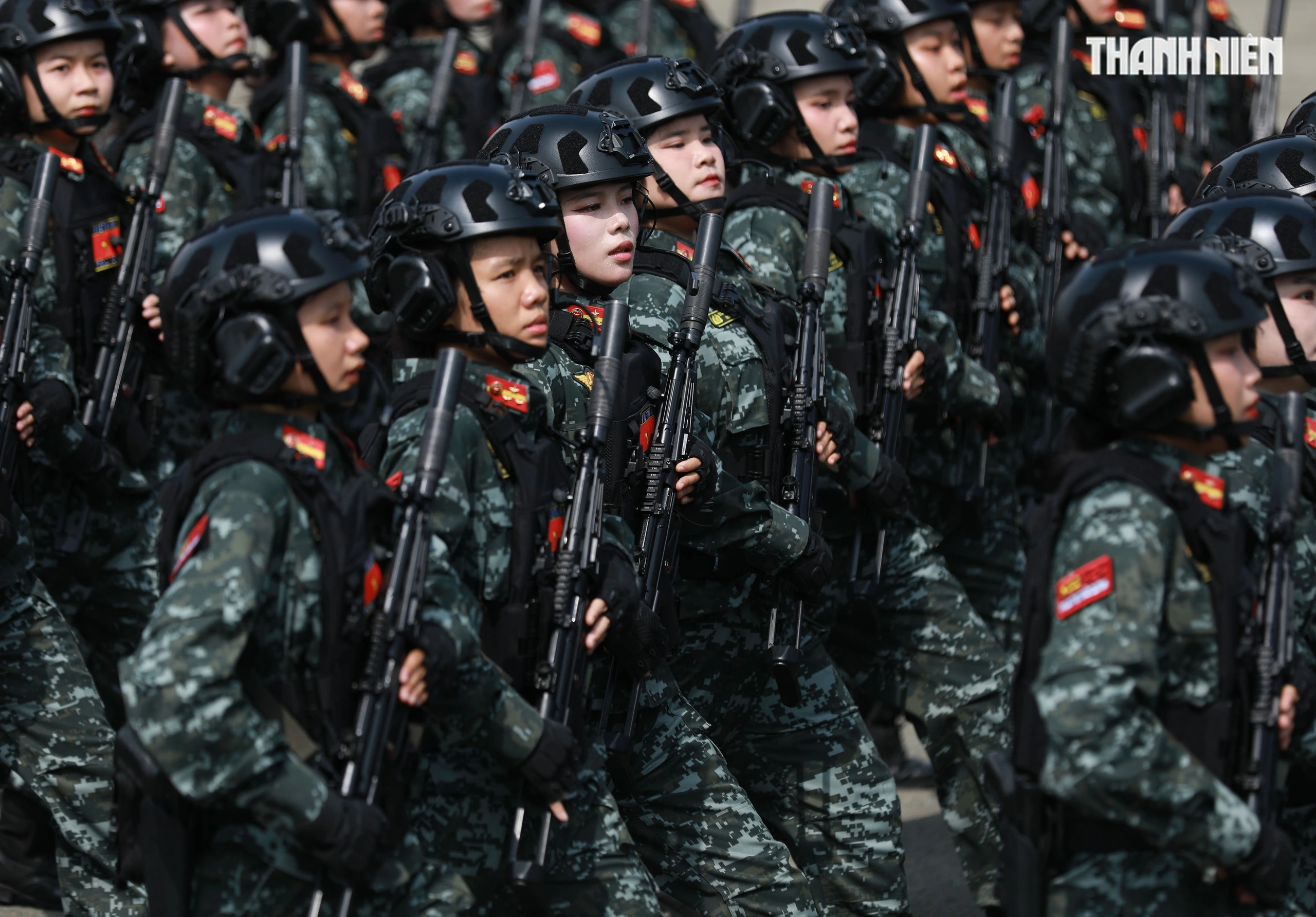


![[Photo] Summary of parade practice in preparation for the April 30th celebration](https://vstatic.vietnam.vn/vietnam/resource/IMAGE/2025/4/11/78cfee0f2cc045b387ff1a4362b5950f)


Comment (0)