According to Gia Dinh Thanh Thong Chi, at first this place was just a small canal. To facilitate traffic between Saigon and the Southwest, around 1772, General Nguyen Cuu Dam had the Ruot Ngua canal dug. In 1819, King Gia Long had the canal expanded and named it An Thong Ha (An Thong River), later changing its name to Tau Hu canal.
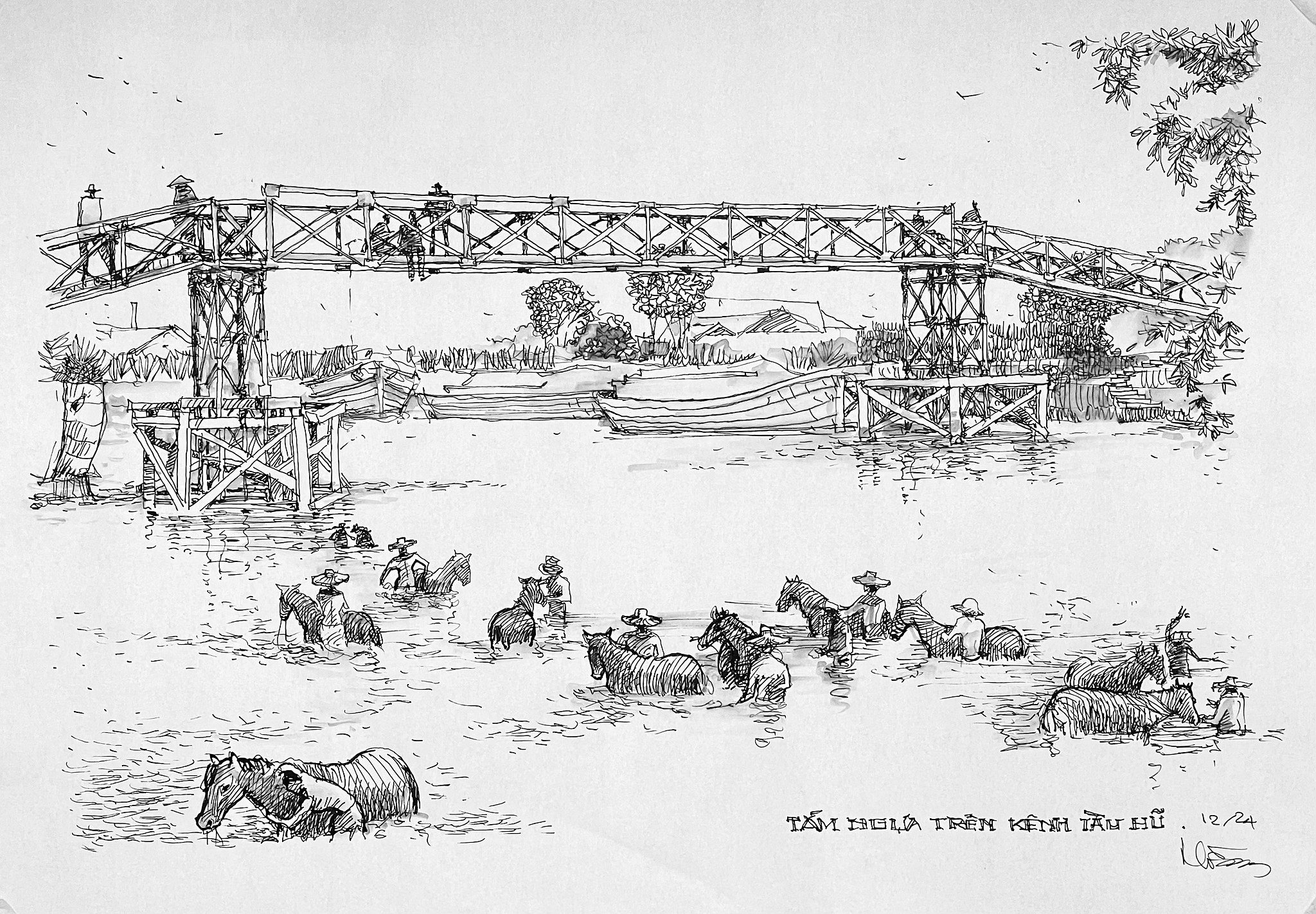
Horse bathing on Tau Hu canal in the 19th century - sketch by architect Tran Xuan Hong
In the early 19th and 20th centuries, Tau Hu Canal became a vital waterway trade route. Agricultural products and rice from the West to Saigon were gathered busily at Ben Binh Dong (also known as Tau Hu Avenue) or at wharves, stations, and warehouses along the canal, creating a typical "on the wharf, under the boat" trade culture of Saigon at that time.
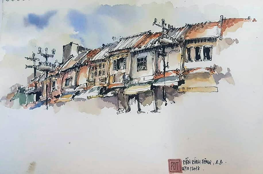
Row of houses on Binh Dong Wharf - sketch by architect Phan Dinh Trung
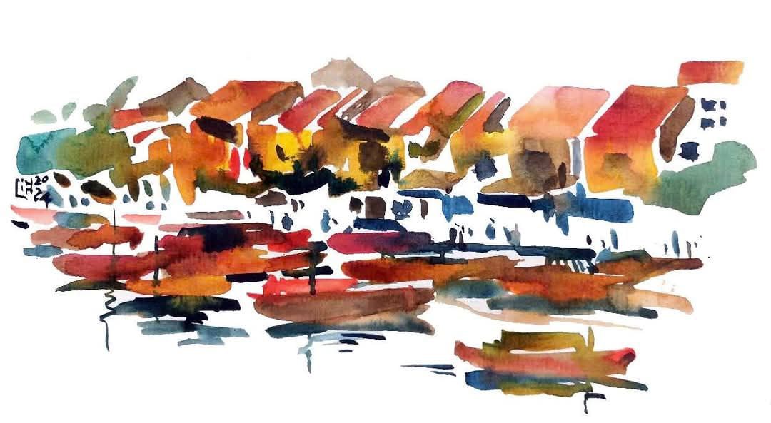
Cultural features on the wharf and under the boat - sketch by architect Linh Hoang

Bustling flower boats on Tau Hu canal on New Year's Eve - sketch by designer Le Quang Khanh

Flower boat on Tau Hu canal - sketch by architect Tran Thai Nguyen
Since the 1950s, the canal has been very polluted due to the encroachment of immigrant slums and the dumping of household waste directly into it. In 2013, the project to renovate the Tau Hu - Ben Nghe canal, Doi canal and Te canal was completed, making the canal clean again. The Tau Hu canal section today is about 6 km long, running along Vo Van Kiet Avenue (from the Y-shaped bridge, District 8 to the Ruot Ngua canal and Lo Gom canal sections, District 6).

Poor housing area along Tau Hu canal - sketch by Ngo Quoc Thuan, student of Nguyen Tat Thanh University
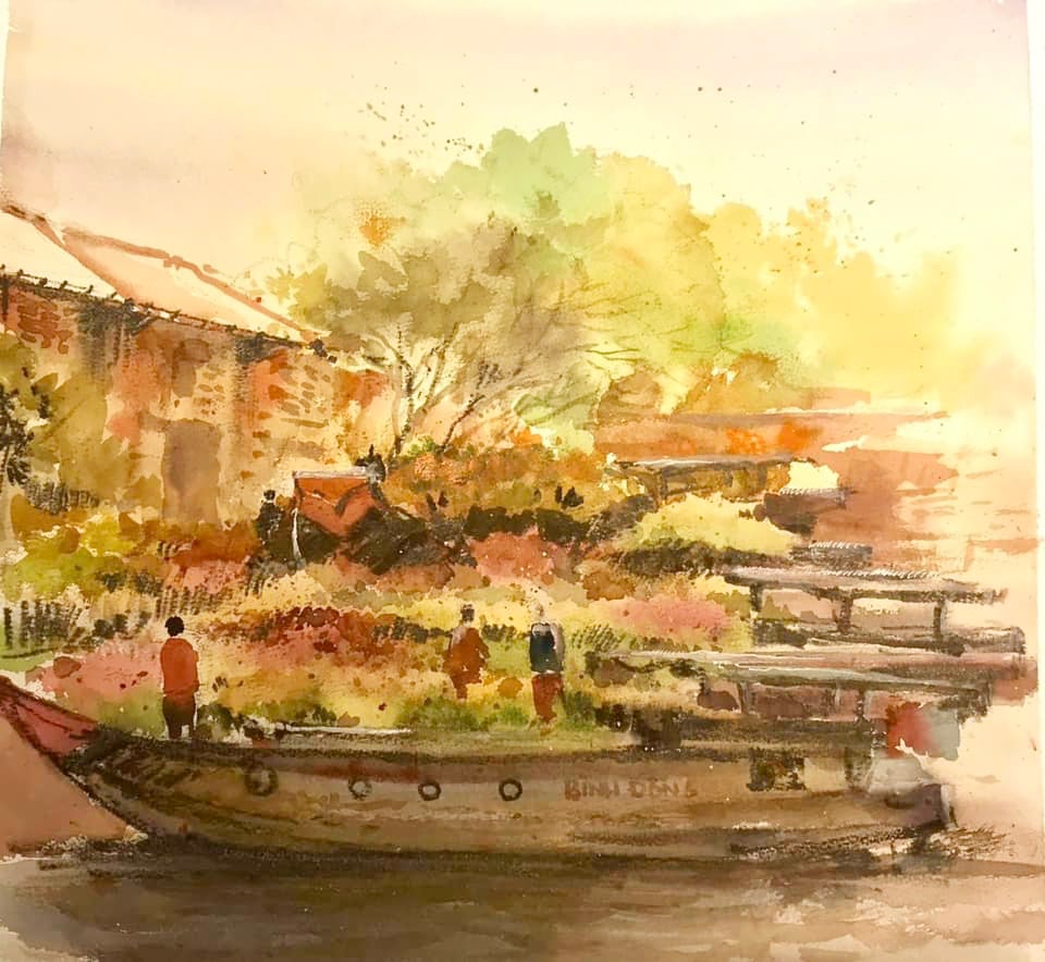
Flower boat arriving at Binh Dong wharf during Tet - sketch by architect Phan Dinh Trung

Poor neighborhood on Tau Hu canal before being cleared - sketch by designer Le Quang Khanh

Tau Hu Canal in the days when it was still sparse - painting by architect Phung The Huy

A time of bustling boats - sketch by architect Bui Hoang Bao
There are many theories about the origin of the name "Tau Hu". According to cultural and linguistic scholars Huynh Tinh Cua and Truong Vinh Ky, "Tau Hu" is a misreading of the word "Tau Khau" (*) by Vietnamese people. Meanwhile, according to researcher Bui Duc Tinh, "Tau Hu" is a misreading of the word "Co Hu" (because the canal here bulges and constricts like the neck of a jar).

Spring flower boat dock - sketch by architect Linh Hoang
(*): In the past, along Tau Hu canal there were warehouse areas, the Chaozhou people called this area "Tho Kho" (read as "Tau Khau", meaning land area).
Source: https://thanhnien.vn/goc-ky-hoa-kenh-tau-hu-tuyen-giao-thuong-huyet-mach-cua-sai-gon-xua-185250104224205956.htm


![[Photo] Ho Chi Minh City speeds up sidewalk repair work before April 30 holiday](https://vstatic.vietnam.vn/vietnam/resource/IMAGE/2025/4/3/17f78833a36f4ba5a9bae215703da710)
![[Photo] Capital's youth enthusiastically practice firefighting and water rescue skills](https://vstatic.vietnam.vn/vietnam/resource/IMAGE/2025/4/3/3f8481675271488abc7b9422a9357ada)














Comment (0)