
According to the National Center for Hydro-Meteorological Forecasting, this afternoon (July 13), the Central Highlands and the South had scattered showers and thunderstorms, locally moderate rain.
Rainfall from 12:00 to 15:00 on July 13 was over 25 mm in some places such as: PRoh (Lam Dong) 36.8 mm, Nam Njang (Dak Nong) 36.4 mm, Vien An (Soc Trang) 38.8 mm, Binh Long (An Giang) 28.2 mm...

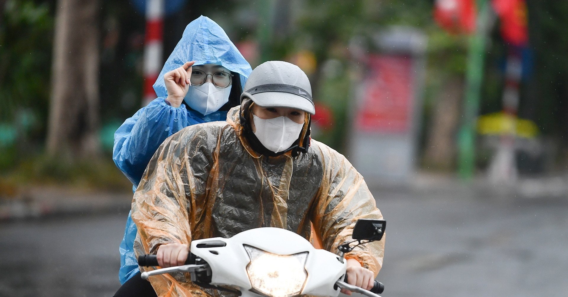
The North is about to receive widespread heavy rain. (Illustration photo: Dac Huy)
In the evening and night of July 13, the mountainous areas of the North, Central Highlands and South will have scattered showers and thunderstorms, locally heavy rain with rainfall of 20-40 mm, some places over 70 mm. In the afternoon and night of July 14, the Central Highlands and South will have moderate rain, heavy rain and thunderstorms, locally very heavy rain with rainfall of 30-60 mm, some places over 80 mm.
Heavy rain in the Central Highlands and the South in the afternoon and evening is likely to last for many days to come.
On July 14, the heat in the North will gradually decrease, while the plains and midlands of the North will be hot with the highest temperature commonly ranging from 35-37 degrees Celsius.
The mountainous areas of the North will experience moderate to heavy rain and thunderstorms from the evening of July 14 to the morning of July 15, with some areas experiencing very heavy rain with rainfall of 40-70 mm, and some areas experiencing over 150 mm. Also during this period, the midlands, the Northern Delta and Thanh Hoa will experience showers and thunderstorms, with some areas experiencing heavy to very heavy rain with rainfall of 20-50 mm, and some areas experiencing over 70 mm.
On July 15, widespread heat waves may end in the North. From the afternoon of July 15-16, this area will have scattered showers and thunderstorms, with some areas experiencing moderate to heavy rain. Around July 20, widespread heavy rain is likely to occur in the North and North Central regions.
Also according to the meteorological agency, currently, the low pressure trough has an axis at about 14-17 degrees North latitude connecting with the low pressure area in the eastern Philippines, at 13:00 it is located at about 15.5-16.5 degrees North latitude, 122.5-123.5 degrees East longitude.
On the night of July 13 and 14, the South China Sea (including the waters of Truong Sa island district) and the eastern waters of the North and Central China Sea will have showers and thunderstorms. During thunderstorms, beware of tornadoes and strong gusts of wind of level 6-7.
During the night of July 13, the South China Sea (including the sea area of Truong Sa island district) and the sea area from Binh Thuan to Ca Mau had strong southwest winds of level 5, sometimes level 6, gusting to level 7. From July 14, the winds gradually increased to level 6, gusting to level 8. The sea was rough, with waves 2-3 m high.
In the coming days, the southwest monsoon in the southern seas will continue to tend to become stronger.
Nguyen Hue
Useful
Emotion
Creative
Unique
Wrath
Source

![[Photo] Prime Minister Pham Minh Chinh chairs meeting to urge highway projects](https://vstatic.vietnam.vn/vietnam/resource/IMAGE/2025/3/29/6a3e175f69ea45f8bfc3c272cde3e27a)

![[Photo] Dong Ho Paintings - Old Styles Tell Modern Stories](https://vstatic.vietnam.vn/vietnam/resource/IMAGE/2025/3/29/317613ad8519462488572377727dda93)
![[Photo] Prime Minister Pham Minh Chinh and Brazilian President Luiz Inácio Lula da Silva attend the Vietnam-Brazil Economic Forum](https://vstatic.vietnam.vn/vietnam/resource/IMAGE/2025/3/29/f3fd11b0421949878011a8f5da318635)


Comment (0)