
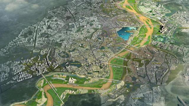
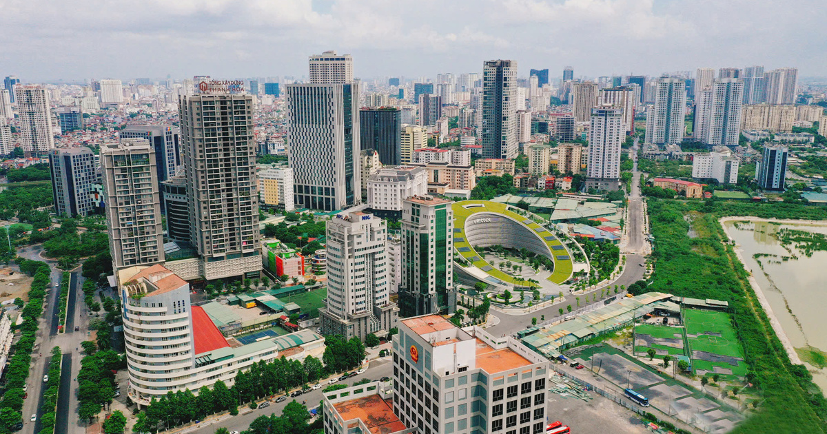
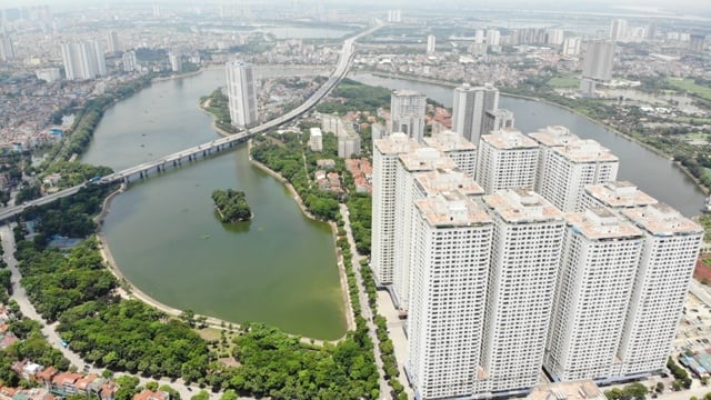
According to the Decision, the land plot marked D1/ODK11 in the H2-3 Urban Zoning Plan, scale 1/2000, belongs to the administrative boundary of Dinh Cong ward, Hoang Mai district, the Northeast borders the planning road B = 17.5m; the Northwest and Southwest borders the planning road B = 13.5m; the Southeast borders the planning road B = 11.5m. The total research land area is about 7,458m².
The purpose of the adjustment is to update and supplement the content of the H2-3 Urban Zoning Plan, scale 1/2000, approved by the Hanoi People's Committee. It meets the needs of building barracks, ensuring national defense and security of the city, improving land use efficiency; serves as a basis for organizing the establishment of local adjustments to the 1/500 scale detailed plan and subsequent procedures on investment, land, etc. and serves as a basis for authorities at all levels to carry out construction investment management in accordance with the law.
Accordingly, the land use function will be adjusted from newly built residential land to security and defense land. The architectural planning indicators (construction density, height) will be determined specifically and accurately in the next phase according to the requirements and purposes of using security and defense land approved by competent authorities.
The Hanoi People's Committee assigned the Department of Planning and Architecture to confirm the local planning adjustment drawings in accordance with this decision; and to archive planning project documents according to regulations.
Hoang Mai District People's Committee presides over and coordinates with relevant agencies and units to organize the public announcement of local adjustments to the approved planning so that relevant organizations, agencies and people can know.
Source: https://kinhtedothi.vn/dieu-chinh-cuc-bo-quy-hoach-phan-khu-do-thi-h2-3-o-quan-hoang-mai.html
![[Photo] Moment of love: Myanmar people are moved to thank Vietnamese soldiers](https://vstatic.vietnam.vn/vietnam/resource/IMAGE/2025/4/3/9b2e07196eb14aa5aacb1bc9e067ae6f)
![[Photo] General Secretary To Lam receives Japanese Ambassador to Vietnam Ito Naoki](https://vstatic.vietnam.vn/vietnam/resource/IMAGE/2025/4/3/3a5d233bc09d4928ac9bfed97674be98)

![[Photo] Special relics at the Vietnam Military History Museum associated with the heroic April 30th](https://vstatic.vietnam.vn/vietnam/resource/IMAGE/2025/4/3/a49d65b17b804e398de42bc2caba8368)


Comment (0)