
According to the Decision, the Land with local planning adjustment belongs to Tay Mo ward, Nam Tu Liem district; the Northeast borders the road that has been invested in and constructed and the land plot marked F4-CX02; the Southwest borders the land plot marked F4-CH02; the Northwest borders the road B= 19.5m that has been invested in and constructed. The total research land area is about 1.82 hectares.
The adjustment objective is to concretize the Master Plan for the construction of Hanoi Capital to 2030 and vision to 2050 approved by the Prime Minister; to implement the policy of the City People's Committee on adding more school levels and building heights on the land in accordance with National Technical Regulations, effectively exploiting and using land funds, increasing the scale of school construction, improving learning conditions, teaching and training quality, developing a high-quality school system; to serve as a basis for research on local adjustments to detailed planning and investment projects for the construction of advanced and modern multi-level general schools to improve the educational environment, develop a high-quality school system, build school facilities in a synchronous, standardized, advanced and modern direction; to serve as a legal basis for local authorities and agencies to manage construction investment in accordance with the provisions of law.
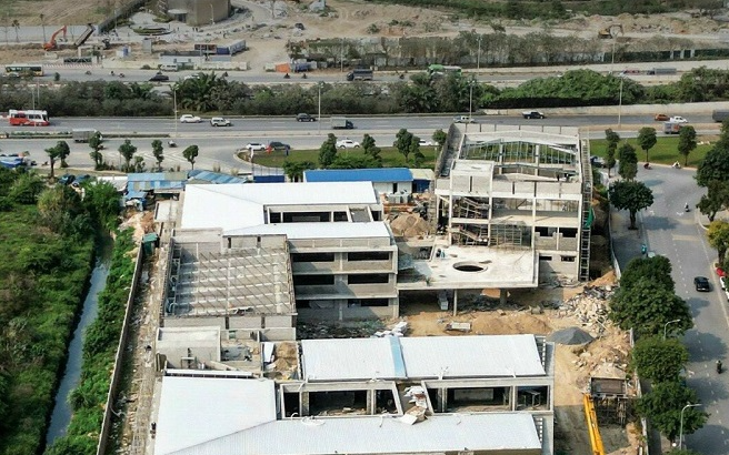
According to the S3 Urban Zoning Plan, scale 1/5000 and Local Adjustment of the S3 Urban Zoning Plan, scale 1/5000 in the planning blocks marked C3, C5, F1, F2, F3, F4, F5, F6 approved by the City People's Committee in Decision No. 4874/QD-UBND dated August 15, 2013 and Decision No. 2639/QD-UBND dated May 30, 2018, the land area for planning adjustment research belongs to the planning block marked F4, with a land area of about 1.82 hectares, the functional orientation is Primary School land, architectural planning criteria: construction density 20-40%, building height 1-4 floors. Now, the land use function of the primary school land area in the planning block coded F4 is adjusted to become a multi-level general school land (primary school, middle school and high school) with the following architectural planning criteria: Land area scale of about 1.82 hectares; maximum construction density of 40%; maximum building height (above ground) of 05 floors; 01 basement floor; number of students is about 1,820 students.
The City People's Committee assigns the Nam Tu Liem District People's Committee and the planning consultancy unit to be responsible for the legal aspects of the planning organization (including the process; scope, objects, time, form, results of synthesizing... opinions of relevant agencies, organizations, individuals and communities), quality, data, accuracy, consistency, synchronization with the system of drawings, explanations, management regulations (including assessment of current status and planning options).
The Department of Planning and Architecture is responsible for checking and confirming the approved drawings of the Local Adjustment of the S3 Urban Zoning Plan, scale 1/5000 in a part of the land area in the planning block coded F4 (Primary School land) in Tay Mo ward, Nam Tu Liem district) in accordance with the content of this Decision; storing planning project files according to regulations.
The People's Committee of Nam Tu Liem District is responsible for presiding over and coordinating with the Department of Planning and Architecture to organize the public announcement of the Local Adjustment of the Zoning Plan so that relevant organizations, agencies and people can know.
Source: https://kinhtedothi.vn/dieu-chinh-quy-hoach-phan-khu-do-thi-s3-phuong-tay-mo-quan-nam-tu-liem.html


Comment (0)