
TPO - Water levels at stations in the downstream of the Saigon - Dong Nai River and rivers in the Southwest region are forecast to drop rapidly in the next 5 days. The highest daily tide will remain at or above Alert Level I until the end of tomorrow, February 14.
According to the Southern Hydrometeorological Station, due to the influence of the strong Northeast monsoon, combined with the high tide in early January, the water level at most stations in the downstream of the Saigon - Dong Nai river system remained high in the past 24 hours.
At 7:00 a.m. this morning, February 13 (the 4th day of Tet), the highest water level of the day at Phu An station (Saigon river) reached 1.67m (0.11m above level III); at Nha Be station (Dong Dien river) reached 1.66m (0.10m above level III).
The Southern Hydrometeorological Station forecasts that water levels at stations downstream of the Saigon - Dong Nai River will drop rapidly in the next 5 days. The highest daily tide will remain at or above BĐ I until the end of tomorrow (February 14).
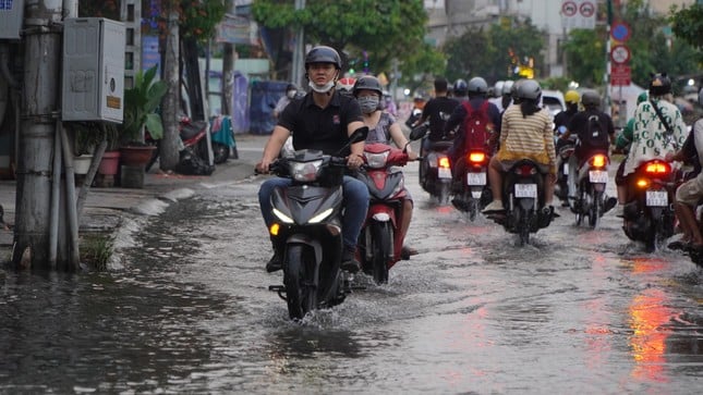 |
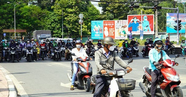
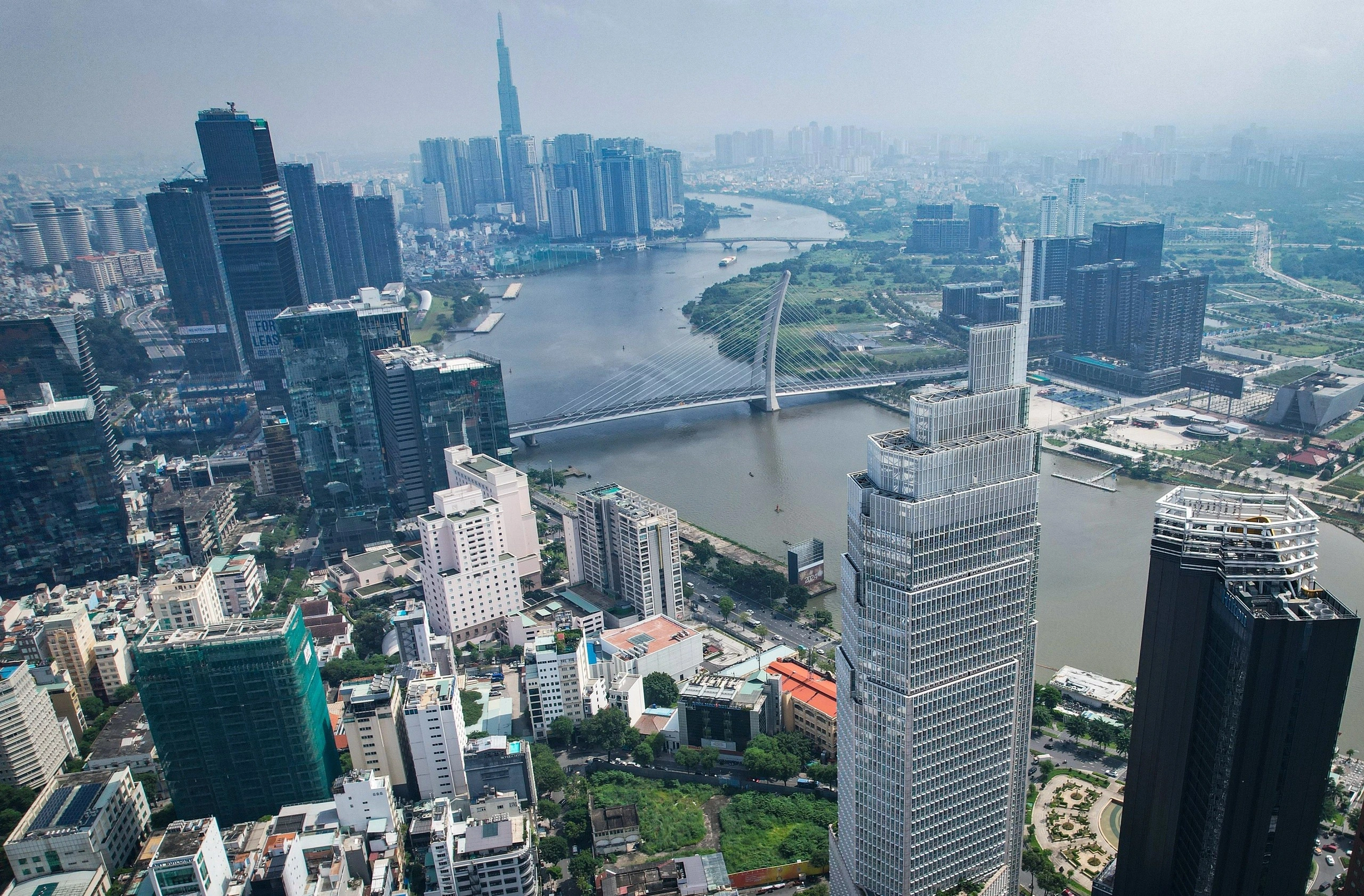
Flooding due to high tide on Tran Xuan Soan Street (District 7, HCMC). Photo: Nhan Le |
In addition, as of 7:00 a.m. this morning (February 13), water levels in the downstream of rivers in the Southwest region are also high.
Water levels at Vam Kenh stations (Cua Tieu River), My Thuan station (Tien River), An Thuan station (Ham Luong River), and Tra Vinh station (Co Chien River) all exceeded Alarm Level III by 0.07-0.21m.
In the next 5 days, water levels at most stations on rivers, canals and streams in the Southwest region will drop rapidly. The highest daily tide will be at or above Alert Level I and will remain until February 14.
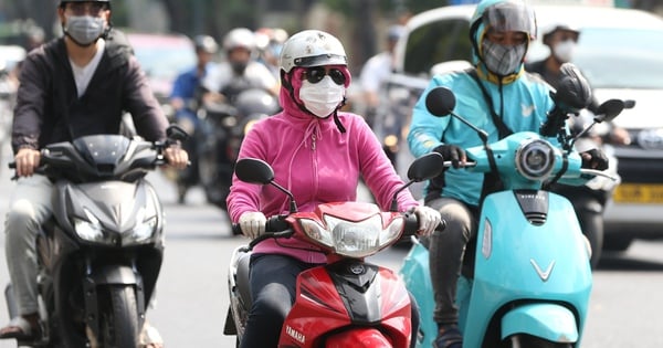
Hot weather in Ho Chi Minh City on the 4th and 5th days of Tet (February 13-14)
According to the Southern Hydrometeorological Station, the continental cold high pressure is currently weakening and shifting to the east.
In the Southeast sea, the Northeast wind operates with strong intensity, gradually decreasing in intensity from the night of February 13. Above, the subtropical high pressure lifts its axis to the North, crossing the Central and South Central regions, operating strongly and stably.
Based on the above main weather patterns, the Southern Hydrometeorological Station forecasts the weather in Ho Chi Minh City from February 13-14 (from the 4th to the 5th of Tet), with variable clouds and no rain. Sunny days, some places will be hot, creating a rather uncomfortable feeling when participating in outdoor activities.
The highest temperature is commonly from 33-35 degrees Celsius, some places above 35 degrees Celsius; the lowest is 24-26 degrees Celsius.
"Hot and dry weather occurring from noon to afternoon like this will have a negative impact on health and we need to be careful of fires and explosions" - The Southern Hydrometeorological Station issued a warning.


Source
![[Photo] President Luong Cuong meets with King Philippe of Belgium](https://vstatic.vietnam.vn/vietnam/resource/IMAGE/2025/4/1/1ce6351a31734a1a833f595a89648faf)
![[Photo] Official welcoming ceremony for the King and Queen of the Kingdom of Belgium](https://vstatic.vietnam.vn/vietnam/resource/IMAGE/2025/4/1/9e1e23e54fad482aa7680fa5d11a1480)

![[Photo] President Luong Cuong and the King of Belgium witness the Vietnam-Belgium document exchange ceremony](https://vstatic.vietnam.vn/vietnam/resource/IMAGE/2025/4/1/df43237b0d2d4f1997892fe485bd05a2)

![[Photo] Queen of the Kingdom of Belgium and the wife of President Luong Cuong visit Uncle Ho's Stilt House](https://vstatic.vietnam.vn/vietnam/resource/IMAGE/2025/4/1/9752eee556e54ac481c172c1130520cd)


Comment (0)