
The "golden route" passing through four districts of Quan Ba, Yen Minh, Dong Van, and Meo Vac is a favorite journey for tourists to Ha Giang.

Another view of Lao Xa village. This photographer was particularly impressed with the landscape of Lao Xa village because of its wildness, unaffected by tourism development.

Sung La, the filming location of Nha Cua Pao. After the success of the film, the house used as a filming location became a popular destination. The author took this photo in the spring when the plum blossoms were in full bloom, covering the sky in white. This is one of his favorite photos in Ha Giang.

Peaceful scenery in Pho Cao, Dong Van district. Huy Trung likes Ha Giang best in spring, around February after Tet because of the brilliant scenery.

Blankets are hung outside the doors of people on Pho Cao Street.

A village near Meo Vac in spring when the peach trees begin to bloom.

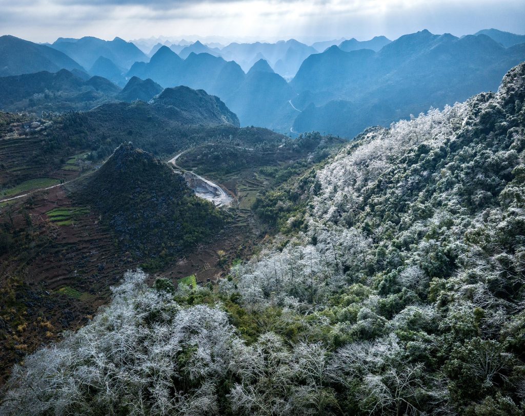
The famous 9-turn pass in Ha Giang, the section connecting Pho Cao and Sung La. This pass brings a thrilling feeling to the driver because of the continuous, winding and steep turns. Some people who have conquered the Dong Van stone plateau say that the 9-turn pass is the most dangerous road on the journey.

A corner of Ma Pi Leng Pass - one of the four great mountain passes of Vietnam - appears dimly under the warm sunlight. Huy Trung said he often drives a pickup truck alone when conquering the "golden route" of Ha Giang instead of a motorbike like other backpackers. "The route is a truly impressive experience when you can see with your own eyes the winding slopes and majestic landscape of Ha Giang's mountains and forests," he said.

Vegetable fields in Quan Ba seen from above.

Yin-yang tiled roof houses in Sang Tung commune, Dong Van.

Lung Cu flagpole is located at an altitude of 1,470 m above sea level, about 3.3 km from the northernmost point of Vietnam as the crow flies, where Huy Trung attended the flag-raising ceremony with the border guards.

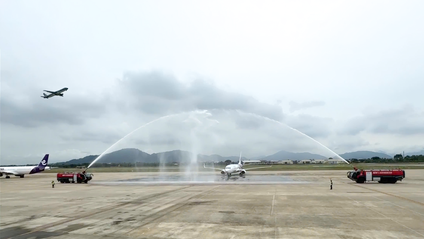
![[Photo] "Beauties" participate in the parade rehearsal at Bien Hoa airport](https://vstatic.vietnam.vn/vietnam/resource/IMAGE/2025/4/11/155502af3384431e918de0e2e585d13a)


Comment (0)