
As of 1 p.m. this afternoon (September 4), storm No. 3 (storm Yagi) is in the eastern sea of the North East Sea. The strongest wind near the storm center is level 12 (118-133 km/h), gusting to level 15, moving in the West Northwest direction, at a speed of 5-10 km/h.
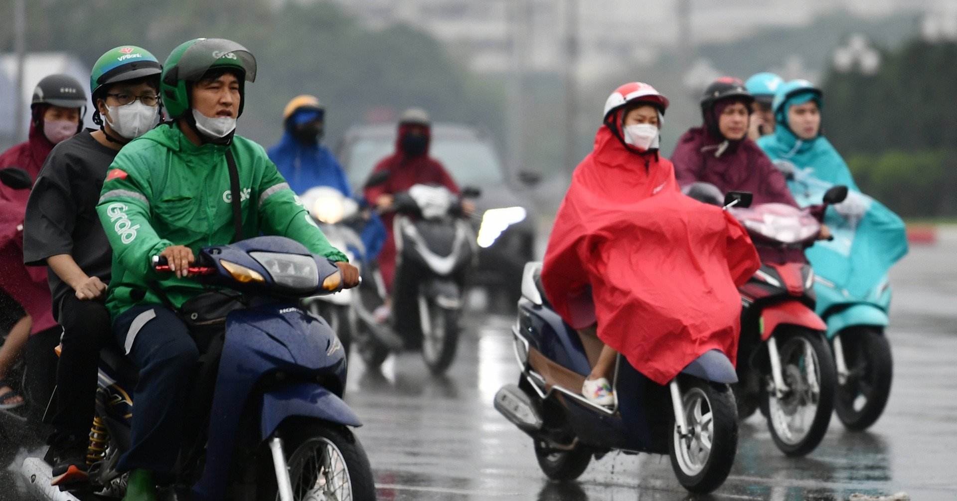
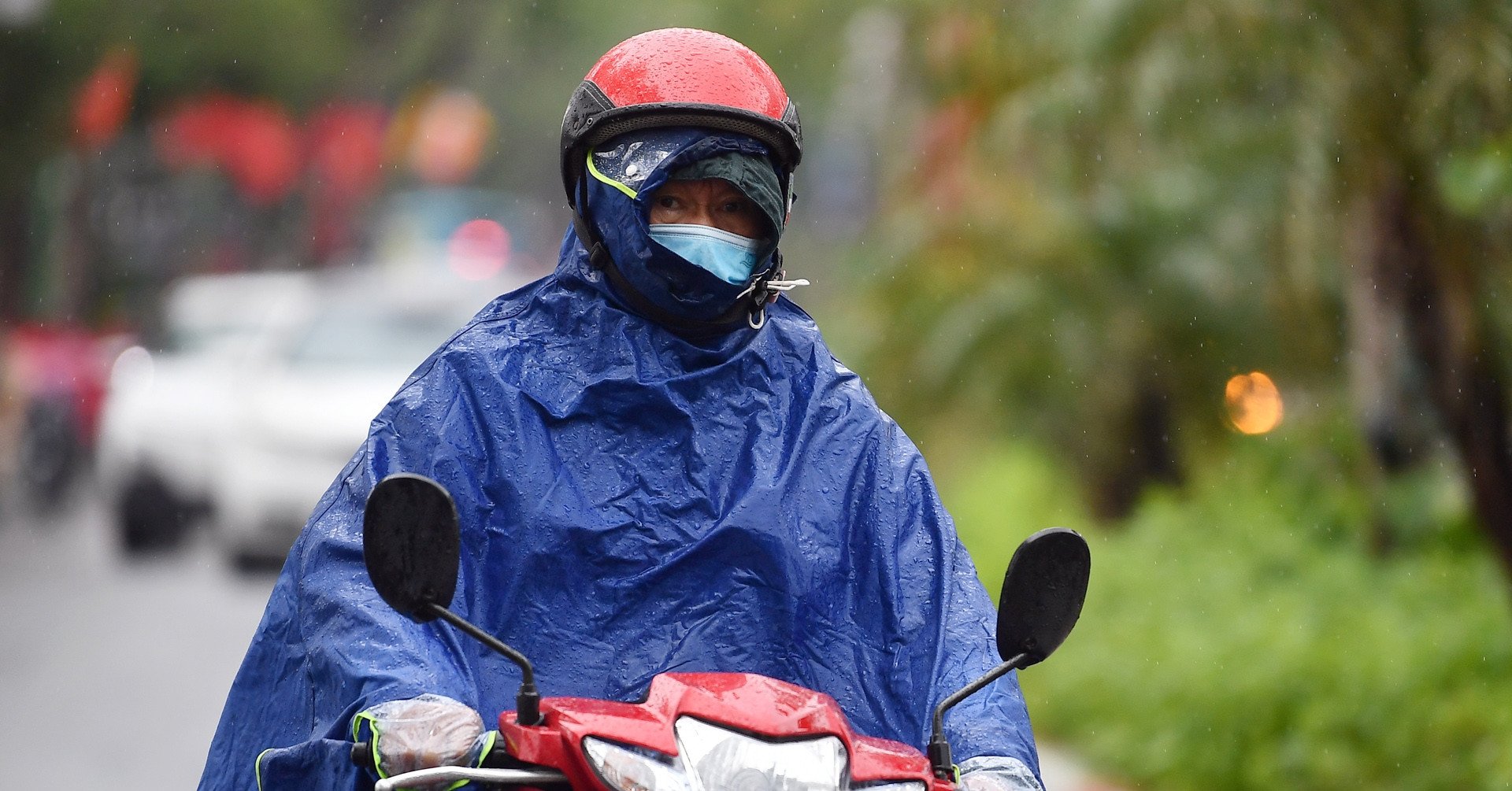
Although very far away, storm No. 3 still indirectly affected Ho Chi Minh City, the South and the Central Highlands, causing heavy rain.
Specifically, the Southern Hydrometeorological Station said that today the weather in Ho Chi Minh City and the South is affected by a tropical belt with an axis through the Central region connecting with storm No. 3. The southwest monsoon in the area is operating with moderate to strong intensity.
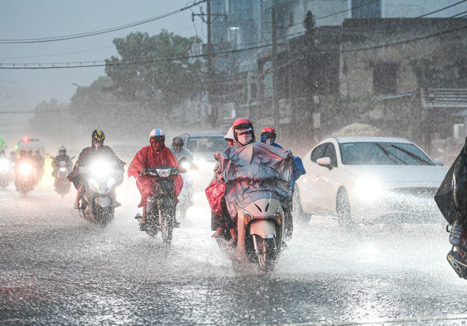
Therefore, the area is cloudy, sunny during the day; showers in many places at noon, afternoon and evening, some places have moderate rain and thunderstorms, some places have heavy to very heavy rain. During thunderstorms, beware of tornadoes, lightning and strong gusts of wind. Beware of heavy rain causing flooding in low-lying areas and urban areas. The lowest temperature is from 23-26 degrees, the highest is 29-32 degrees.
According to this meteorological station, in the next 2-3 days, the tropical convergence zone connecting with storm No. 3 will continue to exist. On this zone, there are low vortices causing the weather in the area to continue to be bad.
The National Center for Hydro-Meteorological Forecasting also said that this afternoon and evening, in the Central Highlands and the South, there will be scattered showers and thunderstorms, locally heavy to very heavy rain with rainfall from 15-30mm, locally over 70mm. From September 5-7, in the afternoon and evening, the area will still have scattered showers and thunderstorms, locally heavy rain. From about September 8, in the late afternoon and evening, there will be scattered showers and thunderstorms, locally heavy rain.
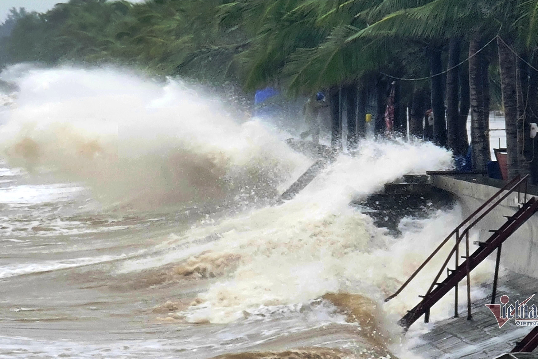
In addition, the weather in the sea of Ho Chi Minh City and the South today, the sea from Ba Ria - Vung Tau to Ca Mau, the southwest wind gradually increases to level 5, sometimes level 6, gusting to level 7-8. The sea from Ca Mau to Kien Giang and the Gulf of Thailand, the southwest wind is level 4-5. Wave height is 1.5-3m.
In both sea areas, the weather is sometimes rainy and stormy. All vessels operating in the above areas are at high risk of being affected by tornadoes, strong winds and large waves.
Source: https://vietnamnet.vn/bao-so-3-co-gay-anh-huong-den-thoi-tiet-tphcm-va-nam-bo-2318241.html

![[Photo] National Assembly Chairman Tran Thanh Man attends the Policy Forum on Science, Technology, Innovation and Digital Transformation](https://vstatic.vietnam.vn/vietnam/resource/IMAGE/2025/4/13/c0aec4d2b3ee45adb4c2a769796be1fd)
![[Photo] National Assembly Chairman Tran Thanh Man attends the ceremony to celebrate the 1015th anniversary of King Ly Thai To's coronation](https://vstatic.vietnam.vn/vietnam/resource/IMAGE/2025/4/13/6d642c7b8ab34ccc8c769a9ebc02346b)
![[Photo] Prime Minister Pham Minh Chinh chairs the Government's special meeting on law-making in April](https://vstatic.vietnam.vn/vietnam/resource/IMAGE/2025/4/13/8b2071d47adc4c22ac3a9534d12ddc17)


Comment (0)