
Urgent need
The Red River zoning plan was approved by the Hanoi People's Committee in March 2022. The plan has a relatively large scale and area of about 11,000 hectares, stretching from Hong Ha bridge to Me So bridge.
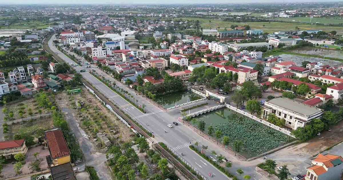
Of which, the Red River area accounts for 3,600 hectares, the riverbank land is over 5,400 hectares, the remaining area is the built-up area including villages with a long history of formation and development such as Bat Trang, Van Khe, Trang Viet, Tam Xa, Xuan Canh... wards outside the dike such as Tu Lien, Nhat Tan, Thanh Tri, Linh Nam...
Ms. Nguyen Thi Nga, house number 587 Nguyen Khoi street, Thanh Tri ward, Hoang Mai district, said that the approval of the Red River urban zoning plan by the Hanoi People's Committee is extremely important for every resident who has lived here for a long time.
However, it has been more than 2 years since the City approved the Red River Urban Zoning Plan at a scale of 1/5,000, but up to now, the next task is to implement the detailed Plans of 1/500 for existing residential areas that are protected; to specifically determine the legal status of land use for each plot of land in the existing residential area, as a basis for granting land use right certificates and construction permits according to regulations, but has not been approved. This has somewhat affected people's lives.
Specifically, when there is no detailed planning, people, even though they have complete documents, stable housing, and no land disputes, have not been granted a Land Use Rights Certificate.
Even many households living around the area outside the Red River dike have "red books", families with many children or grown children starting families with many generations wanting to build new ones, especially in cases where houses after many years of deterioration want to repair, upgrade, or renovate, but are not allowed.
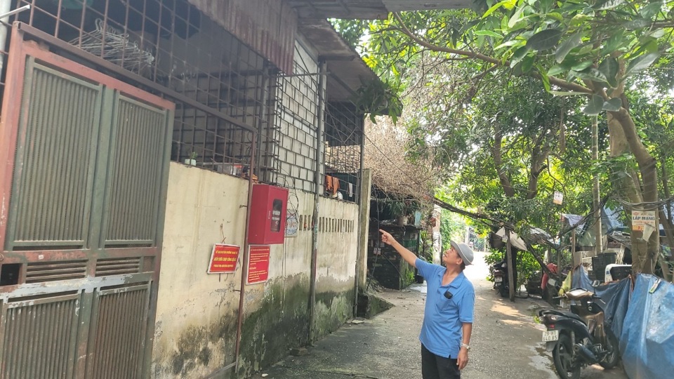
Mr. Tran Van Lai, Party cell secretary and head of residential group No. 5, Thanh Tri ward, Hoang Mai district, said that all 600 households with nearly 3,000 people of residential group No. 5 live outside the dike.
Because there is no detailed planning, people are not allowed to repair their houses. Therefore, every year, especially during the rainy and stormy season, the Neighborhood Group must organize a team to inspect and evaluate the houses that are degraded and at risk of collapse. From there, it reports to the authorities to take measures to ensure the safety of the people.
“Regarding the origin of the land outside the dike belonging to the residential group, most of it is residential land, left by generations of fathers to their descendants. In the long term, people hope that the authorities will soon approve the detailed planning of the Red River urban area so that people can stabilize their lives, and their houses can be renovated and newly built. In particular, welfare works and public works such as roads, electricity, schools, and stations will be cared for, maintained, upgraded, and invested in to serve people's lives" - Mr. Tran Van Lai expressed his wish.
Step by step speed up progress
As one of three wards with land area outside the Red River dike of Hoang Mai district, Mr. Dang Thanh Tung, Chairman of Thanh Tri Ward People's Committee, said that in the past, when the detailed planning of the Red River urban area had not been approved, the management and use of land outside the dike encountered some difficulties and inadequacies.
According to statistics, the ward has a total of 180 hectares along the Red River, including 100 hectares of water surface and 80 hectares of land outside the dike. Of the 80 hectares of alluvial land, 13.5 hectares are existing residential land. However, since 2016, the suspension of construction permits has caused many difficulties and frustrations for people in the alluvial area, especially those who want to renovate and upgrade their houses.
According to Mr. Dang Thanh Tung, to gradually resolve the difficulties for the people, Hoang Mai district is focusing on accelerating the progress of detailed planning of the Red River urban area in the area. The district People's Committee has directed relevant units to coordinate with the People's Committees of Thanh Tri, Linh Nam, and Tran Phu wards to review and make detailed statistics of the land areas along the Red River... In particular, the 1/5,000 Planning approved by the City is an important premise for Hoang Mai district to establish the boundary of the existing residential area at a scale of 1/500.
To implement the district's direction, from January 17 to February 29, Thanh Tri Ward People's Committee posted documents and maps to collect opinions from agencies, organizations, individuals and the community on the task of Detailed Planning at a scale of 1/500 of existing residential areas that are protected in the area outside the Red River dike in the ward. Opinion polls were also distributed to residential areas in the beach area.
The ward also held a conference to receive and summarize comments related to the task of Detailed Planning at a scale of 1/500 for existing residential areas that are protected in the area outside the Red River dike. Most of the comments unanimously supported the implementation of the task of Detailed Planning at a scale of 1/500 for existing residential areas that are protected in the landfill area in the ward; at the same time, it was requested that when continuing to implement the detailed planning, agencies and units should pay attention and conduct surveys to make the planning suitable to reality.
Also on this issue, a representative of the Urban Management Department of Hoang Mai district said that the detailed planning of the Red River urban area at a scale of 1/500 in Hoang Mai district is in the process of completing the final stages.
Specifically, on January 5, 2024, the District Urban Management Department coordinated with the People's Committees of the wards, consulting units and related units to organize a conference to collect opinions from agencies, organizations, individuals and representatives of the residential communities of the 3 wards. Along with that, the People's Committees of the 3 wards of Thanh Tri, Linh Nam and Tran Phu also sent documents to participate in giving opinions.
The People's Committee of Hoang Mai district has issued a document to seek consensus from the Hanoi Department of Planning and Investment according to the provisions of the Law on Urban Planning. "After receiving consensus from the Hanoi Department of Agriculture and Rural Development on the boundaries of existing residential areas and consensus from the Department of Planning and Investment, the People's Committee of the district will complete the task of detailed planning at a scale of 1/500 of existing residential areas that are protected in the area outside the dike in Thanh Tri, Linh Nam, and Tran Phu wards to submit to the Planning Appraisal Council for approval according to regulations" - the representative of the Hoang Mai District Urban Management Department informed.
On March 25, 2022, the Hanoi People's Committee issued Decision No. 1045/QD-UBND, approving the Red River Urban Zoning Plan, scale 1/5,000, within the administrative boundaries of 55 wards and communes in 13 districts. After approval, the Hanoi People's Committee assigned the People's Committees of 13 districts and the Department of Agriculture and Rural Development to draw a 1/500 scale boundary drawing of existing and protected residential areas; organize the preparation of a detailed 1/500 scale plan for existing and protected residential areas; specifically determine the legal status of land use for each plot of land in the existing residential area, as a basis for granting land use right certificates and construction permits according to regulations.
Inspect, manage, and supervise construction according to planning, handle cases of construction that violate planning according to authority and legal regulations. Review and adjust programs, plans, planning, and related investment projects in the area in accordance with approved zoning plans.
Source: https://kinhtedothi.vn/ha-noi-som-lap-quy-hoach-chi-tiet-phan-khu-do-thi-song-hong.html
![[Photo] Third meeting of the Organizing Subcommittee serving the 14th National Party Congress](https://vstatic.vietnam.vn/vietnam/resource/IMAGE/2025/4/2/3f342a185e714df58aad8c0fc08e4af2)
![[Photo] General Secretary To Lam receives Russian Ambassador to Vietnam](https://vstatic.vietnam.vn/vietnam/resource/IMAGE/2025/4/2/b486192404d54058b15165174ea36c4e)


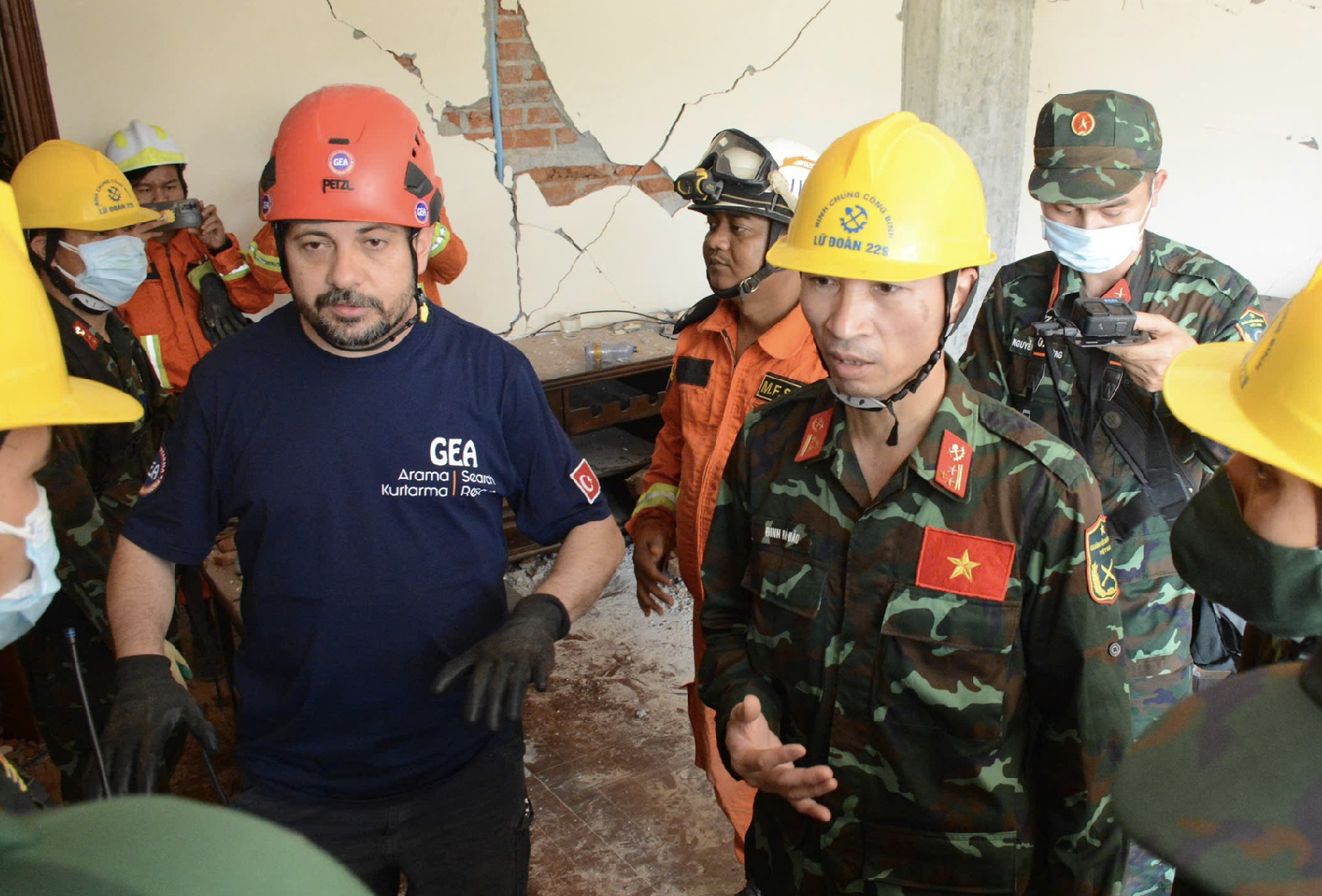
![[Photo] Relatives of victims of the earthquake in Myanmar were moved and grateful to the rescue team of the Vietnamese Ministry of National Defense.](https://vstatic.vietnam.vn/vietnam/resource/IMAGE/2025/4/2/aa6a37e9b59543dfb0ddc7f44162a7a7)


Comment (0)