
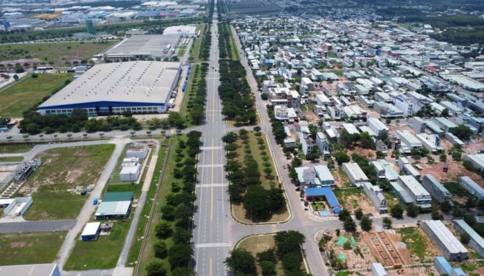
TPO - The flood discharge from Dau Tieng Lake, which will last from now until October 31, if combined with heavy rain or high tides, will cause flooding in areas along the Saigon River. This is a warning from authorities, advising people to take precautions.
On October 23, information from the Standing Office of the Steering Committee for Natural Disaster Prevention - Search and Rescue of Binh Duong province announced the regulation of water discharge through the spillway of Dau Tieng lake for the second time in 2024.
According to the announcement, the spillway discharge time is from now until October 31. The discharge flow through the spillway: Q= 100÷200 m3/s.
According to the authorities of Binh Duong province, with a discharge flow of up to 200 m3/s to proactively prevent flooding for works and downstream areas, under normal conditions, it will not cause flooding in communes and wards along the Saigon River. However, it is necessary to be cautious when heavy rain combined with high tides at peak can cause local flooding in low-lying areas along the Saigon River.
The Steering Committee for Natural Disaster Prevention and Search and Rescue of Dau Tieng district, Ben Cat city, Thuan An city, Thu Dau Mot city (these are localities along the Saigon river) implement prevention and response measures.
Previously, many times houses in areas along the Saigon River in Thuan An city, Dau Tieng district (Binh Duong) were flooded due to heavy rain and flood discharge from Dau Tieng lake.
With a surface area of about 270 km2, Dau Tieng Lake is the largest irrigation lake in Vietnam, located in the three provinces of Tay Ninh, Binh Duong and Binh Phuoc. In addition to regulating water to the Saigon River, the lake also serves as irrigation for agricultural production in the provinces of the Southeast region.
Video: High tides cause flooding along the Saigon River in Binh Duong |
According to reporters, in recent days, the water level of the Saigon River has exceeded alert level 3, 0.04m higher than the previous record. High tides have caused flooding in many areas in Binh Duong.
Specifically, high tides caused flooding on a total length of 2,080m of inner-city roads in Thu Dau Mot city and Thuan An city, including roads such as Cach Mang Thang Tam, Ho Van Cong, Ngo Quyen, Nguyen Tri Phuong... with flooding depths from 10 to 50cm.
In addition, more than 2,397m of canal banks, embankments, and dikes in the cities of Thu Dau Mot, Thuan An, and Ben Cat were flooded, causing flooding of many hectares of crop land.
The Thu Dau Mot market area was heavily flooded, greatly affecting the daily life and business of the people. Many households living along rivers and canals had to face the situation of water flooding into their houses, causing property damage.


Source: https://tienphong.vn/ho-thuy-loi-lon-nhat-nuoc-tiep-tuc-xa-lu-de-phong-ngap-nha-ven-song-sai-gon-post1684893.tpo
![[Photo] Helicopters and fighter jets practice in the sky of Ho Chi Minh City](https://vstatic.vietnam.vn/vietnam/resource/IMAGE/2025/3/28/3a610b9f4d464757995cac72c28aa9c6)
![[Photo] Vietnam and Brazil sign cooperation agreements in many important fields](https://vstatic.vietnam.vn/vietnam/resource/IMAGE/2025/3/28/a5603b27b5a54c00b9fdfca46720b47e)
![[Photo] General Secretary To Lam receives Brazilian President Luiz Inácio Lula da Silva](https://vstatic.vietnam.vn/vietnam/resource/IMAGE/2025/3/28/7063dab9a0534269815360df80a9179e)


![[Photo] Prime Minister Pham Minh Chinh meets with Brazilian President Luiz Inacio Lula da Silva](https://vstatic.vietnam.vn/vietnam/resource/IMAGE/2025/3/28/41f753a7a79044e3aafdae226fbf213b)


Comment (0)