
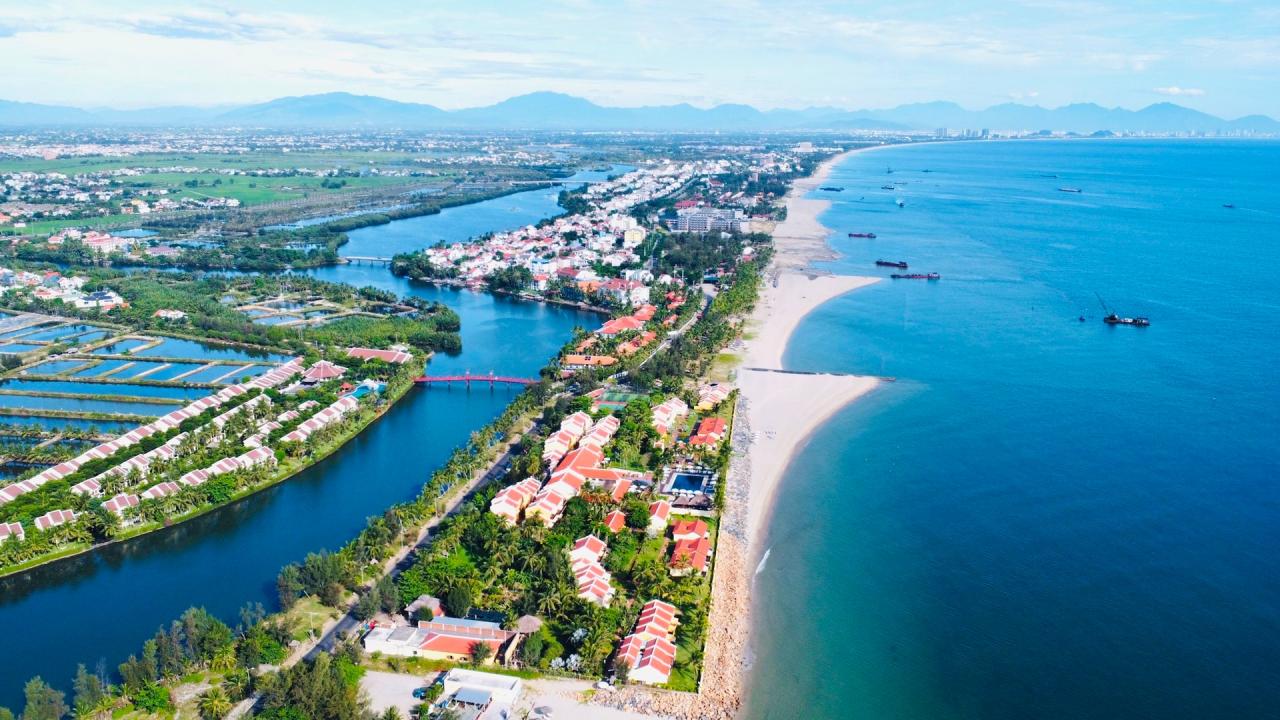
For more than ten years, despite the implementation of many projects and solutions to save Hoi An beach, it can be seen that part of the coastline in Cua Dai and Cam An is still severely deformed.
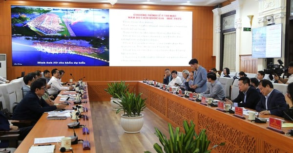
The current status of the coastal area in Hoi An City has changed a lot, which is an issue of concern to many parties when the Department of Construction conducted a review of the Urban Design Project along the coastal line and Co Co River.
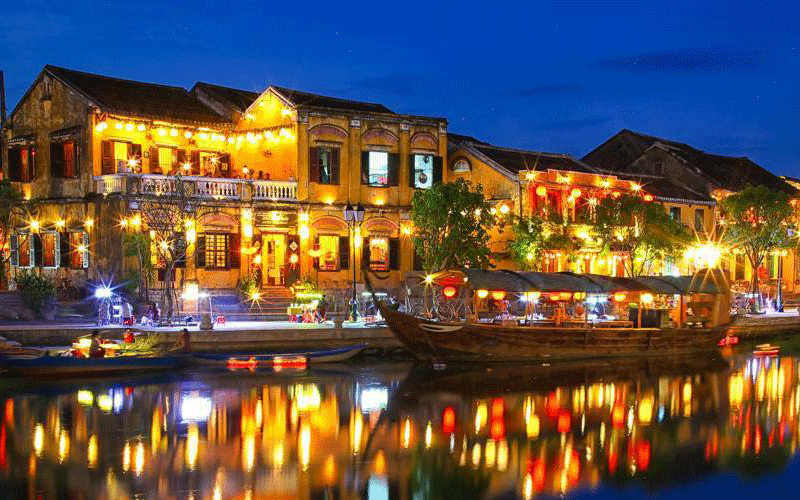
The coastal route of Hoi An City is located in a key area of development attracting investment and has many typical architectures of the region. In addition, this coastal area has unique tourism resources, attracting many types of construction investment, so coordinating and controlling the harmony with the general landscape to comply with the planning orientation is urgent.
According to the planning of the landscape architecture control area of the Urban Design Project along the coastal line and Co Co River, the coastal area of Hoi An has 11 marine park clusters with a width of 68 - 900m.
However, according to Mr. Nguyen Dinh Hung - Director of the Center for Land Fund Development - Housing Fund of Hoi An City, the current status of some An Bang coastal park clusters has narrowed considerably compared to the previous planning.
For example, at the mixed service - public space point of An Bang as updated in the urban design project of the coastal route, along the Co Co river, the width is up to 900m, which is not true to reality. In May 2024, Hoi An City also adjusted the zoning plan (1/2,000 planning) of this area, in which many zonings only underwent renovation.
“In recent years, landslides and climate change have caused this area to change a lot. Therefore, the project investor needs to update the project to match the actual situation, from which to propose solutions related to urban space, which is possible,” said Mr. Nguyen Dinh Hung.
Mr. Nguyen The Hung - Vice Chairman of Hoi An City People's Committee said that the Provincial People's Committee has approved the coastal protection corridor corresponding to the management of the coastline, but in Hoi An, the situation is different from other localities in that the erosion has caused the coastline to deform a lot, especially in the Cua Dai beach area.
If the investor of the Urban Design Project along the coastal and Co Co River does not update it to be closer to reality, it will be very difficult for the authorities to grant construction permits and urban management in the future.
The representative of the Department of Construction acknowledged that the current situation of the coastal area of Hoi An in recent years has been quite complicated. In addition, almost all coastal projects in Hoi An predate the Law on Marine and Island Environment and Natural Resources; at the same time, the annual average high tide line in Hoi An is also very difficult to determine.
Therefore, the entire maritime corridor boundary in Hoi An, especially Cua Dai area, is facing many difficulties. The relevant parties are coordinating to find a way to restore the legal status for all coastal projects in the locality.
Source: https://baoquangnam.vn/bien-dang-bo-bien-tac-dong-quy-hoach-do-thi-hoi-an-3143850.html


Comment (0)