
Accurate forest change updates
Forest rangers in the province are actively using software to manage and protect forests such as Locus Map, FRMS 4.0 Desktop, remote sensing equipment. These software are integrated into tablets and smartphones, supporting many features such as: Measurement, field inspection support, forest lot management, forest status, forest owner name, tree type, planting year, reserves... effectively supporting forest rangers in the process of performing their tasks. From there, it helps forest rangers detect and warn early of unusual changes, accurately update fluctuations in forest resources.
Na Hang district is the locality with the largest area of special-use forests in Tuyen Quang province. Currently, Na Hang district has 67,893 hectares of forest land, of which 21,228 hectares are special-use forests, 21,007 hectares are protective forests and 25,657 hectares are production forests. Na Hang forest has 2,000 plant species, many of which are listed in the Vietnam Red Book such as: Trai, nghien, lat hoa, dinh, thong tre, hoang dan, tram gio, many species of orchids, precious medicinal plants... The conservation areas have many species of rare birds and animals, listed in the Vietnam Red Book, the World Red Book such as Tonkin snub-nosed monkey, white-cheeked black langur, attracting organizations and scientists around the world to call for investment capital for conservation.
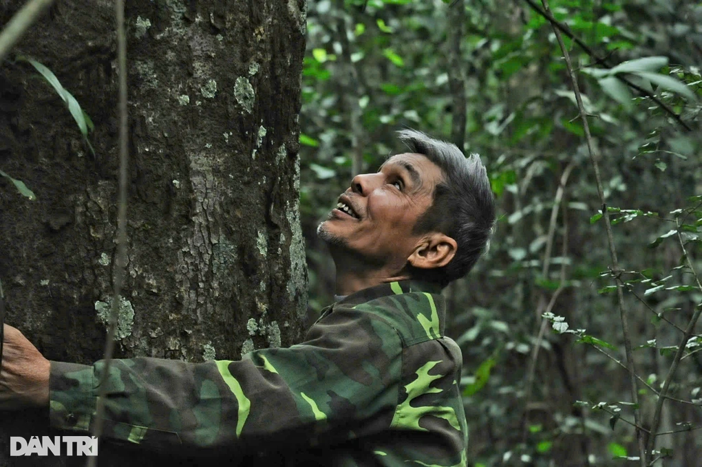
Mr. Ma Thanh Khiet, Head of Na Hang Forest Protection Department, said that the forest in Na Hang currently has thousands of ironwood, ironwood, and lim trees that are hundreds of years old. The area is large, the forest area is high in the mountains, the terrain is rugged, while the forest protection force is thin, so the department has established stations in the forest to protect the forest. In particular, the application of digital technology has helped to manage the forest much better.

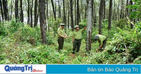
Chiem Hoa Forest Ranger Department staff discuss FRMS Mobile software.
Through data on suspected forest change points from satellite images at the sub-department, officers will notify local forest rangers to inspect, accurately identify the forest owner's sub-zone, plot, and lost forest area, helping to promptly detect and handle violations of the law. In addition, the forest rangers also use map management software on smartphones (FRMS Mobile). This is a tool that helps replace conventional paper maps and improve accuracy in determining locations and verifying forest change information.
The area of Son Duong's special-use forest is mainly in Tan Trao, of which Tan Lap village has nearly 1,000 hectares. Previously, officers of the Son Duong District Forest Protection Department only discovered changes in the forest when conducting field inspections or through reports from local people. Since using the FRMS 4.0 Desktop forest monitoring software, the forest rangers have been monitoring the current status of the forest, clearly identifying the location, coordinates, plots, and forest areas of each forest owner through satellite images.
Mr. Do Xuan Toai, Head of Deo De Forest Ranger Station, shared that the area of special-use forests is large, including complex terrain, long distance travel and difficult travel. Each patrol trip, updating forest developments, the forest protection force has to walk for many hours, even many days in the forest. Thanks to the forest monitoring software, forest management is easier, more accurate, and does not take much time and effort.
Prevent forest fires in time
Previously, all forest fire warnings in the province were provided by the online forest fire monitoring system of the Forest Protection Department (FireWatch Vietnam). This is an automatic system for early detection of fire alarms throughout Vietnam from VIIRS, MODIS, AVHRR and FY-3B image data on Suomi NPP, TERRA, AQUA satellites, NOAA-x and FY-3B satellites regularly received at the TeraScan receiving station located at the Forest Protection Department. Along with the upgrading of the receiving station, FireWatch Vietnam (Version 3.0, 2017) was upgraded with many new features to support the national forest rangers and related units and people in implementing PCCCR, exploiting fire information, and managing forest fires promptly and effectively...
Through the above software, the force is provided with instantaneous fire alarm information detected from satellite data on an interactive online map. Fire alarm information includes satellite name, date and time, geographic coordinates and altitude, belonging to administrative units up to commune level, fire potential according to satellite data and weather conditions, forest type at the fire alarm points.

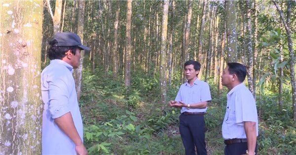
Officers of Cham Chu Forest Ranger Department (Ham Yen) check forest changes on smartphone map management software (FRMS Mobile).
However, detailed forest information at fire alarm points is only available to registered users. The online basemap service includes geographic and administrative basemaps, forest status basemaps, topographic basemaps, SPOT image basemaps and Google Earth basemaps. Fire alarm point information is sent to managers, PCCCR units, forest owners... via SMS and email according to registration.
Currently, the province has invested in software for forest rangers to detect early suspected forest fires. Deputy Head of the Provincial Forest Protection Department Duong Van Xy said: Tuyen Quang is one of the few provinces that has invested in a system to convert and process national forest fire warning data. The software to detect early suspected forest fires has been applied in the province since January 2024 and is now proving effective. Suspected forest fire spots are alerted to the smartphones of forest rangers in charge of the commune, so the burning and treatment of forest cover by people is also strictly managed. Therefore, since the beginning of the year, forest fire prevention work in the province has been strictly controlled, with no forest fires occurring.
Mr. Nong Van Viet, a forest patrol officer at Mo Nuoc post, Na Chao village, Nang Kha commune (Na Hang) said that the post manages over 1,000 hectares of nghien forest, so the application of forest management software, especially software for early detection of suspected forest fires, is very important, helping forest rangers and forest patrollers to be proactive in all situations. As soon as a small fire of about 3 square meters appears, the phone will alert the suspected fire point, thereby making control much tighter than before.
With the applied software, the forest rangers have been able to control their work closely, without loopholes in forest management and protection in the area, ensuring that forest cover is maintained at 65%.
Source


![[Photo] "Beauties" participate in the parade rehearsal at Bien Hoa airport](https://vstatic.vietnam.vn/vietnam/resource/IMAGE/2025/4/11/155502af3384431e918de0e2e585d13a)


Comment (0)