
Many provinces and cities across the country have very high population density (people/km2), however in some localities this number is very low.
1. Which province has the lowest population density in the Central Highlands?
- Kon Tum0%
- Lam Dong0%
- Dak Nong0%
- Dak Lak0%
Exactly
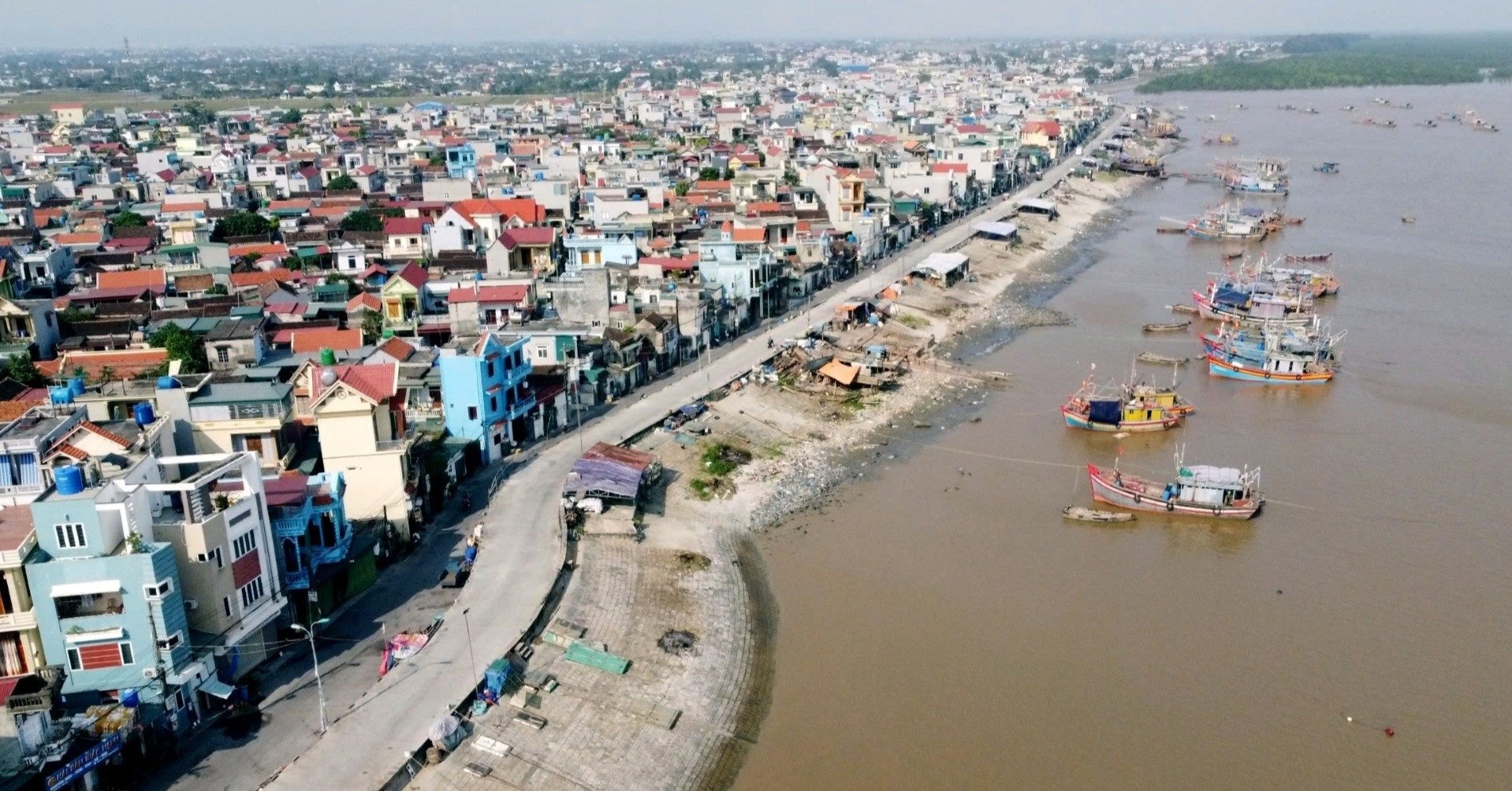
Kon Tum is a mountainous, border province located in the northern Central Highlands with geographical coordinates from 107020'15" to 108032'30" east longitude and from 13055'10" to 15027'15" north latitude. Kon Tum has a natural area of 9,676.5 km2, accounting for 3.1% of the country's area, bordering Quang Nam province to the north (border length 142km), Gia Lai province to the south (203km), Quang Ngai to the east (74km), Laos and Cambodia to the west (share a border of 280.7km). According to the 2022 Statistical Yearbook, Kon Tum's population is 579,914 people, with a population density of 60 people/km2. According to the General Statistics Office, this figure in 2023 is 61.1 people/km2.
2. Which province has the lowest population density in the country?
- Kon Tum0%
- Son La0%
- Lai Chau0%
- Dien Bien0%
Exactly
Lai Chau has geographical coordinates from 21°41' to 22°50' North latitude and from 102°19' to 103°59' East longitude. To the north, it borders Yunnan province (China) and Lao Cai province, to the east, Lao Cai and Yen Bai provinces, to the west, Dien Bien province, and to the south, Dien Bien and Son La provinces. The province's natural area is 9,068.78 km², ranking 10th out of 63 provinces and cities nationwide. According to the province's statistical yearbook, the average population in 2023 is 489,282 people. Data from the General Statistics Office shows that Lai Chau's population density in 2023 is 54 people/km2.
3. Which province/city has the highest population density in the country?
- Hanoi0%
- Ho Chi Minh City0%
- Binh Duong0%
- Bac Ninh0%
Exactly
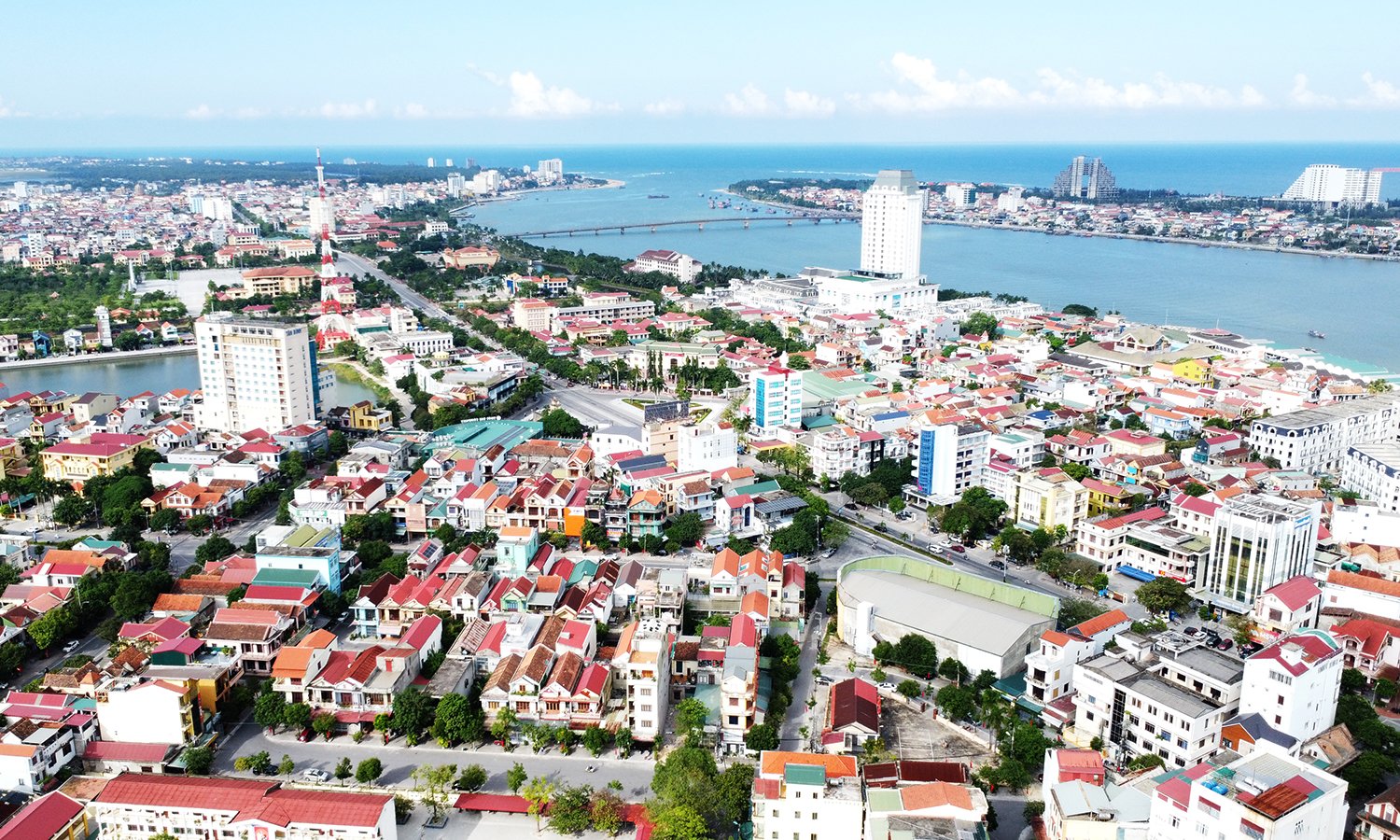
Ho Chi Minh City has coordinates of 10°10′-10°38′ North and 106°22′-106°54′ East, bordering Binh Duong province to the north, Tay Ninh province and Long An province to the west, Dong Nai province and Ba Ria - Vung Tau province to the east, and the East Sea and Tien Giang province to the south. According to the General Statistics Office, the area of Ho Chi Minh City in 2023 is 2,095.4 km2, the population is 9,456,900 people, the population density is 4,513.1 people/km2.
4. How many provinces have a population density of more than 1,000 people/km2?
- 80%
- 90%
- 100%
- 110%
Exactly
Data from the General Statistics Office in 2023 shows that there are currently 10 provinces and cities nationwide with a population density of over 1,000 people/km2. Of which, Ho Chi Minh City has the highest population density with 4,513.1 people/km2. Hanoi ranks second with 2,555.8 people/km2. Bac Ninh ranks third with 1,844.4 people/km2. The remaining localities include Binh Duong, Nam Dinh, Ha Nam, Thai Binh, Hung Yen, Hai Phong, and Hai Duong.
5. Which of the following regions has the highest population density?
- Northern midlands and mountains0%
- Mekong Delta0%
- North Central and Central Coast0%
- Red River Delta0%
- Central Highlands0%
- Southeast0%
Exactly
Data from the General Statistics Office shows that the Red River Delta is the region with the highest population density, with an average of 1,115.3 people/km2. Second is the Southeast with 807.5 people/km2. The Mekong Delta is third with 426.7 people/km2. Fourth is the North Central and Central Coast with 216.7 people/km2. Next is the Northern Midlands and Mountains with 138.3 people/km2. The Central Highlands is the region with the lowest population density in the country, with 113 people/km2.
- Northern midlands and mountains
video" class="videoBox detail-page" templategroupid="00001O" data-vnn-utm-source="#vnn_source=chitiet&vnn_medium=box_video" categoryid="000053" priority="1" pagesize="5" pageindex="0">
- 8
- Hanoi
- Kon Tum

Source: https://vietnamnet.vn/tinh-nao-co-mat-do-dan-so-thap-nhat-ca-nuoc-2334751.html
![[Photo] "Beauties" participate in the parade rehearsal at Bien Hoa airport](https://vstatic.vietnam.vn/vietnam/resource/IMAGE/2025/4/11/155502af3384431e918de0e2e585d13a)


![[Photo] Looking back at the impressive moments of the Vietnamese rescue team in Myanmar](https://vstatic.vietnam.vn/vietnam/resource/IMAGE/2025/4/11/5623ca902a934e19b604c718265249d0)


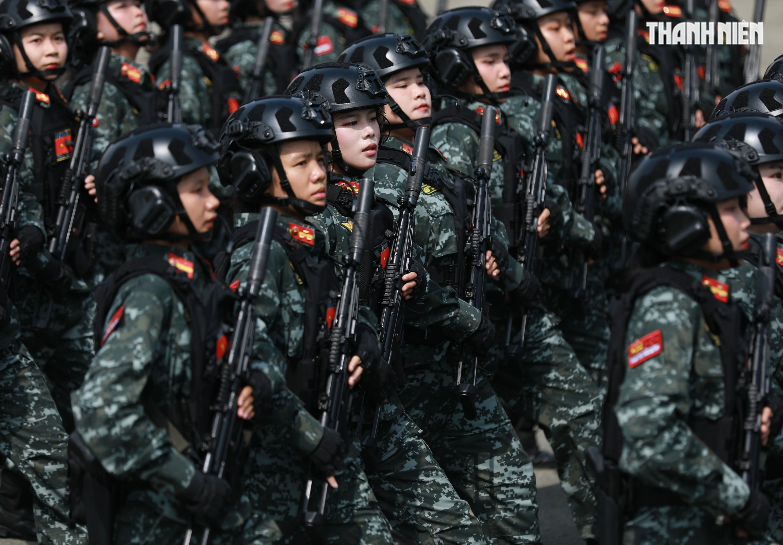
![[Photo] Summary of parade practice in preparation for the April 30th celebration](https://vstatic.vietnam.vn/vietnam/resource/IMAGE/2025/4/11/78cfee0f2cc045b387ff1a4362b5950f)


Comment (0)