

1. Which province did Quang Ngai and Binh Dinh merge into?
- A
Nghia Binh
Nghia Binh was established in February 1976 on the basis of merging Quang Ngai and Binh Dinh provinces.
Provincial administrative units (until 1980) included: Quy Nhon town (provincial capital), Quang Nghia town and 15 districts: An Nhon, Ba To, Binh Son, Duc Pho, Hoai An, Hoai Nhon, Mo Duc, Nghia Minh, Phu Cat, Phu My, Phuoc Van, Son Ha, Son Tinh, Tay Son, Tra Bong.
On June 30, 1989, the 5th session of the 8th National Assembly passed a resolution to divide Nghia Binh province to re-establish Binh Dinh and Quang Ngai provinces. Binh Dinh province includes Quy Nhon city and 10 districts: An Lao, An Nhon, Hoai An, Hoai Nhon, Phu Cat, Phu My, Tay Son, Tuy Phuoc, Van Canh, Vinh Thanh.
Quang Ngai province includes: Quang Ngai town and 10 districts: Ba To, Binh Son, Duc Pho, Minh Long, Mo Duc, Nghia Hanh, Son Ha, Son Tinh, Tra Bong, Tu Nghia. - B
Quang Dinh
- C
Quang Binh
- D
Mekong

2. Which place in Binh Dinh is known as the 'Capital of the Champa people'?
- A
Luy Lau Ancient Citadel
- B
Twin Towers
- C
Banh It Tower
- D
Do Ban Citadel
Do Ban Citadel or Vijaya, also known as Cha Ban (Tra Ban) ancient citadel, is the capital of the Degar people of Champa, now located in Nhon Hau commune, An Nhon town and 27 km northwest of Quy Nhon city (Binh Dinh province). During the Champa period, the country's name was Chiem Thanh. Vijaya is also the name of one of the small states of Champa, the small state of Vijaya.

3. What agricultural products is Ly Son Island famous for?
- A
Coconut and peanuts
- B
Garlic
Ly Son garlic is a geographical brand of garlic grown in Ly Son island district (Quang Ngai province). Due to the difference in soil and traditional farming experience (Thoi Loi mountain gravel and sea sand are covered on the fields every new farming season) of the local people, Ly Son garlic has a special flavor. The most characteristic is that it has a mild spicy taste, not as spicy as other garlic.
- C
Golden flower sticky rice
- D
Green tea

4. Which national highway passes through both Quang Ngai and Binh Dinh?
- A
National Highway 19
- B
National Highway 1A
National Highway 1A passes through the provinces: Lang Son, Bac Giang, Bac Ninh, Hanoi, Ha Nam, Ninh Binh, Thanh Hoa, Nghe An, Ha Tinh, Quang Binh, Quang Tri, Thua Thien Hue, Da Nang, Quang Nam, Quang Ngai, Binh Dinh, Phu Yen, Khanh Hoa, Ninh Thuan, Binh Thuan, Dong Nai, Binh Duong, Ho Chi Minh City, Long An, Tien Giang, Vinh Long, Can Tho, Hau Giang, Soc Trang, Bac Lieu, Ca Mau.
Furthermore, National Highway 1A runs along the country serving the transportation and trade process, ensuring and promoting production and consumption, boosting the domestic economy and enhancing economic exchange between regions in and outside the country. - C
Highway 24
- D
National Highway 14

5. Cu Mong Pass is the natural border between Binh Dinh and which province?
- A
Quang Ngai
- B
Phu Yen
Cu Mong Pass is about 7km long, located on National Highway 1A, and is the border between Phu Yen and Binh Dinh provinces. The northern foot of the pass belongs to Quy Nhon city, Binh Dinh province. The southern foot is in Xuan Loc commune, Song Cau town, Phu Yen province.
The peak of the pass is 25m high, the road is steep and has many sharp turns, on both sides are high mountains covered with lush green vegetation. Although not impressive in length, when mentioning the most dangerous mountain roads in Vietnam, backpackers can hardly ignore Cu Mong Pass. - C
Gia Lai
- D
Khanh Hoa

Source: https://vtcnews.vn/quang-ngai-va-binh-dinh-sap-nhap-thanh-tinh-nao-ar935858.html


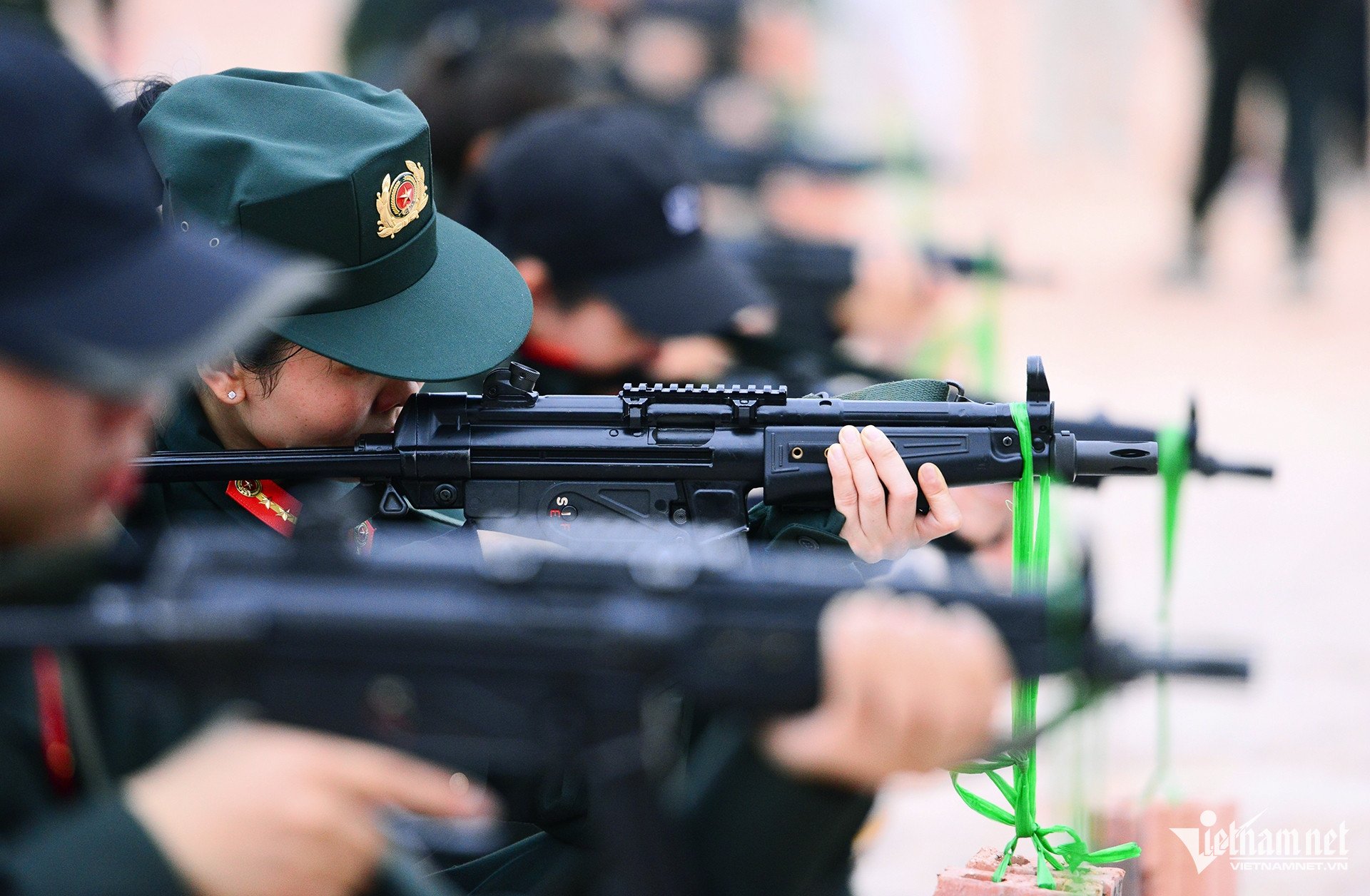


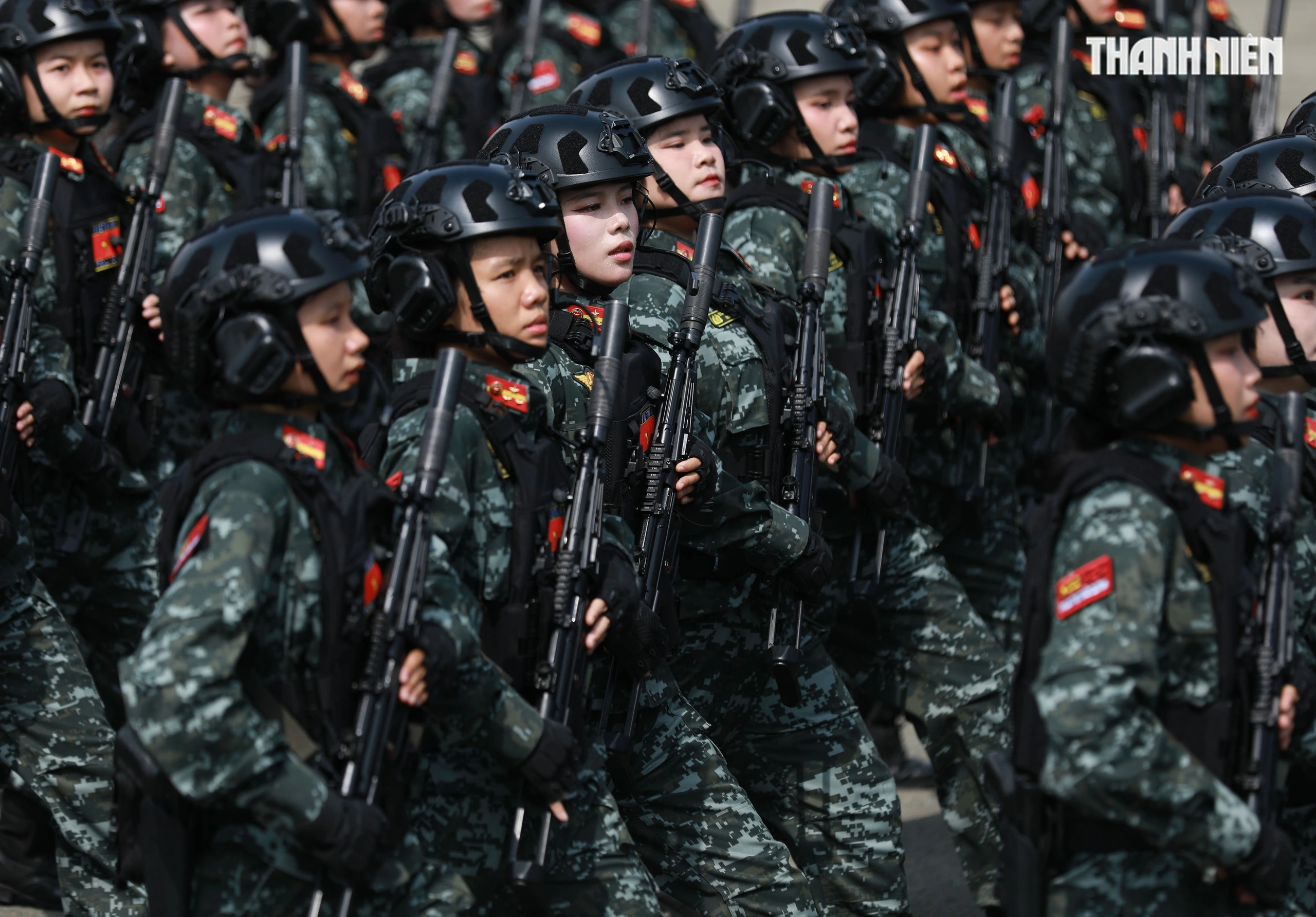

![[Photo] "Beauties" participate in the parade rehearsal at Bien Hoa airport](https://vstatic.vietnam.vn/vietnam/resource/IMAGE/2025/4/11/155502af3384431e918de0e2e585d13a)


Comment (0)