
 The Giang Man range occupies most of the territory of Minh Hoa and Bo Trach districts with difficult access. To get there, I had to ask the soldiers of Ra Mai border post in Trong Hoa commune, Minh Hoa district.
  From Dong Hoi city, after more than 150km, I arrived at the border post and was welcomed by the kindness and friendliness of the soldiers in the fresh air and chirping birds.
  The worries of the hustle and bustle of life have been left behind in the forest, giving way to the excitement of exploring nature and the lives of the ethnic minorities here.
In the clear morning, I anxiously looked out at the mountains and forests in the distance, the clouds had long since enveloped the mountains. I thought to myself, if only I knew the way, I would have left the station early in the morning. As if knowing the mood of the guest who was preparing all kinds of cumbersome photographic equipment, the guide quickly finished his bowl of rice and set off to visit the villages of the Khua and May ethnic groups.

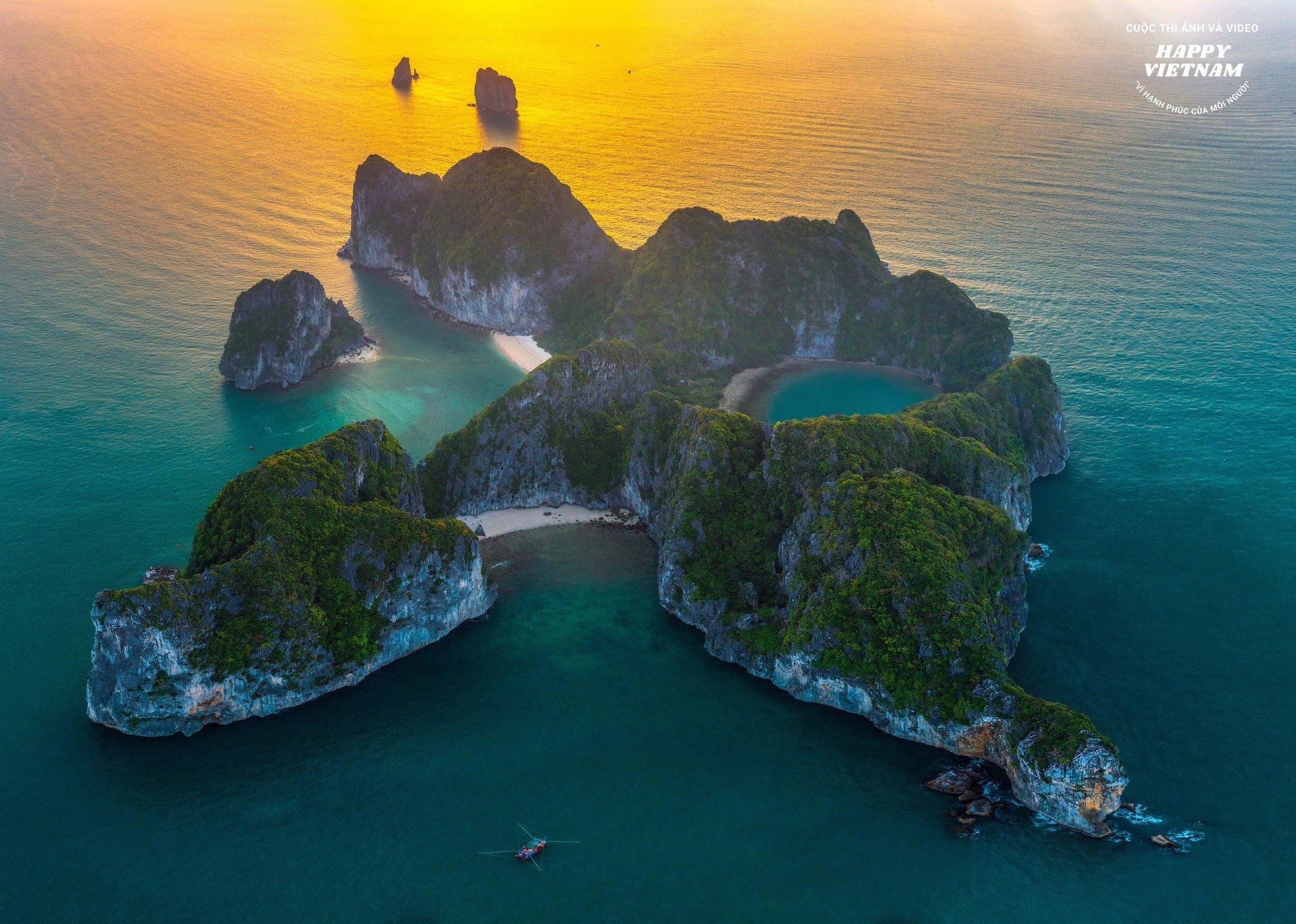
Along the way to the villages, I was able to admire the clouds and mountains. The clouds really seemed to “spread a curtain” over the layers of mountains. The soldiers leading the way told me that in the heart of those limestone mountains, there was a section of underground river tens of kilometers long with a dense cave system that extended to Phong Nha Ke Bang National Park.
 The towering mountains on one side of the road and the deep abyss and sharp turns on the other side made my heart skip a beat. After riding a motorbike for about 30 minutes on the only road to the village, we stopped at Cha Cap village, the highest of the four villages on this route. From this convenient and safe position, I was able to comfortably take pictures of clouds surrounding the mountains, mountains hidden in thin clouds.
  The clouds and mountains seemed to touch my soul, sending a pure gift from the pristine nature. Also from this high point, looking down far below, one can see the La Trong hydroelectric plant. The lake between the two cliffs is like a “hanging lake” in the middle of the majestic forest. This hydroelectric lake is where water from the streams and creeks in the area flows. On both sides of the lake are primeval forests that are strictly protected by the state and the community.
Heritage Magazine

![[Photo] Prime Minister Pham Minh Chinh receives delegation of leaders of US universities](https://vstatic.vietnam.vn/vietnam/resource/IMAGE/2025/3/31/8be7f6be90624512b385fd1690124eaa)
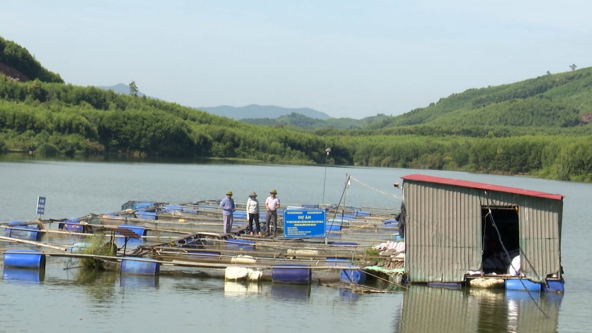
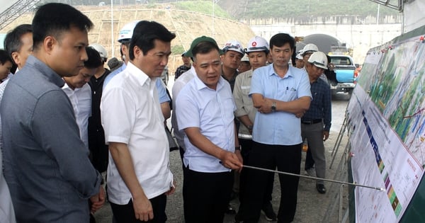
![[Photo] Speeding up construction of Ring Road 3 and Bien Hoa-Vung Tau Expressway](https://vstatic.vietnam.vn/vietnam/resource/IMAGE/2025/3/31/f1431fbe7d604caba041f84a718ccef7)
![[Photo] General Secretary To Lam receives US Ambassador to Vietnam Marc E. Knapper](https://vstatic.vietnam.vn/vietnam/resource/IMAGE/2025/3/31/5ee45ded5fd548a685618a0b67c42970)


![[Photo] 2nd Conference of the Party Executive Committee of Central Party Agencies](https://vstatic.vietnam.vn/vietnam/resource/IMAGE/2025/3/31/8f85b88962b34701ac511682b09b1e0d)


Comment (0)