
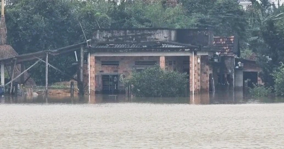
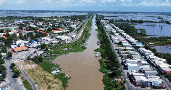
Accordingly, Da Nang City has recorded initial damages caused by natural disasters. Regarding livestock, 12 pigs died, 28.1 hectares of vegetables were flooded (Ngu Hanh Son: 3 hectares; Cam Le: 12.1 hectares; Hoa Vang: 13 hectares), 2.73 hectares of aquaculture were washed away, and 1 mushroom farm was damaged.
Regarding traffic: Slope landslide on DT 602 road at km 7+00; Slope landslide across a 3.5m concrete road at group 2 road, An Son village; Road surface landslide on some routes: Road to Son Tra tourist service areas (DRT); Le Van Luong intersection, CS18T1 pillar, old Hoang Sa road (end of route), CS22T1 pillar, Dong Dinh museum, CS68T2 pillar, CS 62T2 pillar, CS 52T2 - CS 55T2 pillar; Le Van Luong road (Luong Huu Khanh intersection); Au Co road... Slope landslide, road surface landslide with landslide volume of about 6m3 (Son Tra resort area); Slope landslide with size (5x2)m at CS 23T1; Rockfall, soil overflow on the road surface at CS 58T2 - 66T2. Road DT.602 (Near Suoi Tien): Positive slope landslide, filled 15m long longitudinal ditch, landslide volume about 15m3.
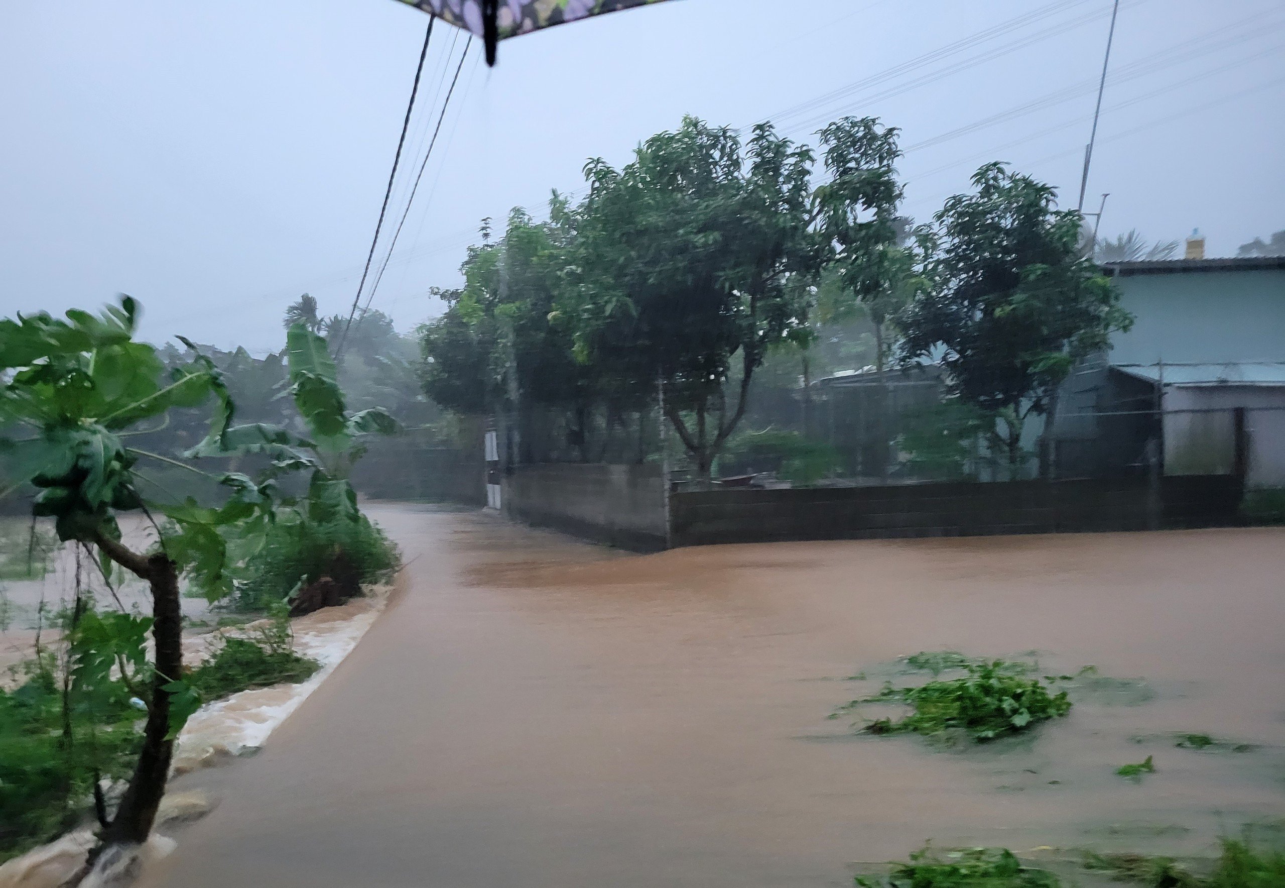
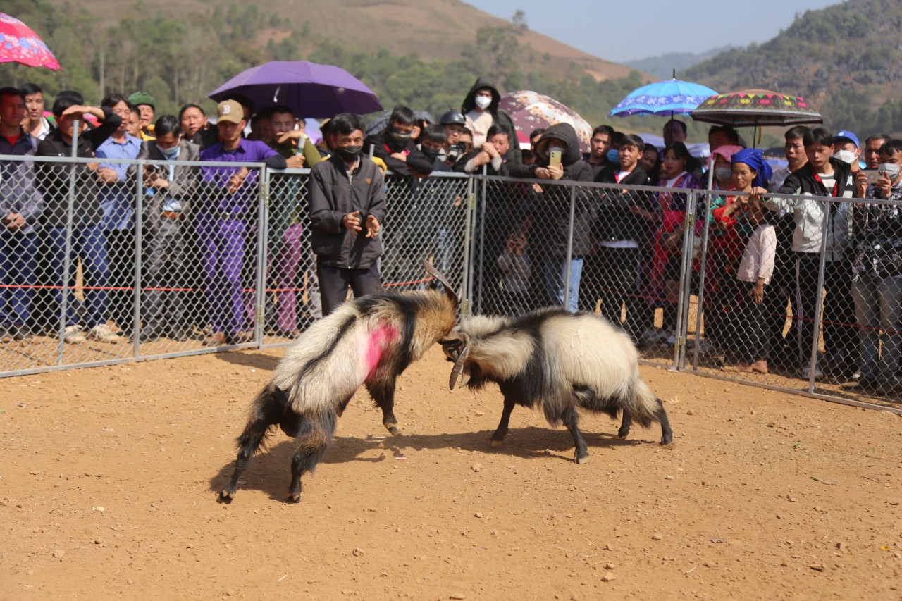
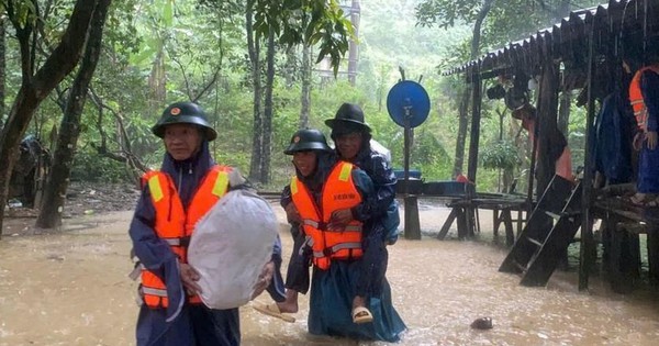
People's crops were affected by flooding.
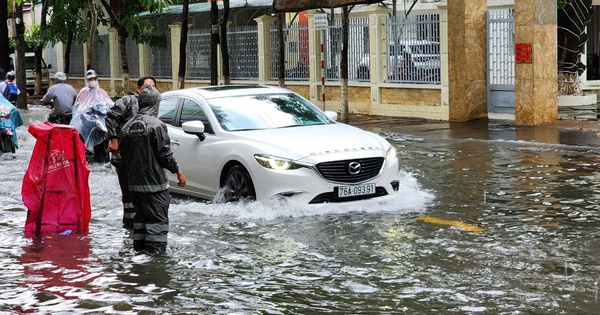
Nguyen Xi Canal Bridge: The sidewalk near the pier collapsed, the volume was about 3.15m3, the M1 pier collapsed, the size was (2.0x2.0)m; Phung Hung Street: The sidewalk near the pier collapsed, the volume was about 10m2; Hoang Sa Bridge: The frog-shaped subsidence had the size of (2.1x2.7)m and (4.5x4.0)m; Nguyen Xi Canal Bridge: The size was (1.3x1.8)m; Tran Quang Khai Bridge: The downstream side collapsed, the size was (2.5x4)m; DT601 Road: Water rose over the spillway at km20+700; The soft island at some intersections fell and was damaged; Some traffic light locations were flooded and stopped working; Nguyen Van Troi Bridge had a floating tree stuck to the bridge pillars (pillars S7, S10, S11, S13); Tran Thi Ly Bridge, floating tree stuck on bridge pillar (upstream pillar S7).
- The section of National Highway 1 through Hai Van Pass where the landslide occurred at Km905+670 (Da Nang area managed by Zone 3) has been handled and opened to traffic at 3:30 p.m. on October 14.
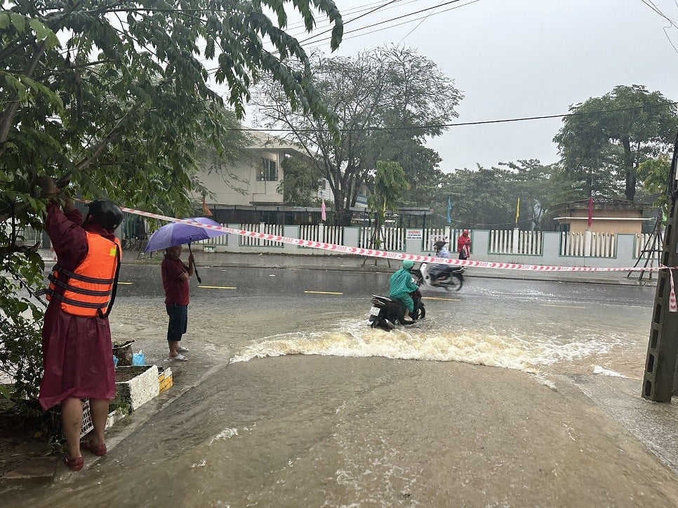
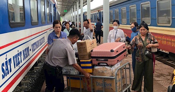
Transport infrastructure is greatly affected by natural disasters.
Hoa Nhon Commune: 1 location at Group 3, Thai Lai village is at risk of landslides affecting 3 households with 11 people and the asphalt road along the river in front of Phu Hoa 2 village hall is cracked and at risk of landslides.
Hoa Ninh Commune: Landslide on the slope of DT 602 road, km 7+00; Landslide and drift of a drainage culvert across the 3.5m concrete road at Group 2, An Son village (breaking the drainage culvert, causing subsidence and breaking the road surface).
Hoa Bac Commune: Road DT 601, Deo La Nga area, Nam My village is at risk of landslides.
Hoa Phu Commune: An Chau sluice at Dong Treo dam collapsed. Landslides on National Highway 14G, currently there are 5 landslides spilling over National Highway 14G and 16 landslides in Phu Tuc village, Hoa Phuoc village.
Source


Comment (0)