
Every time I come to a new land, I often choose pagodas or temples as the first place to visit. Because the relics are not simply ancient, quiet architectures with cultural, religious and spiritual values of the locality, but are also associated with the history of land reclamation by our ancestors.

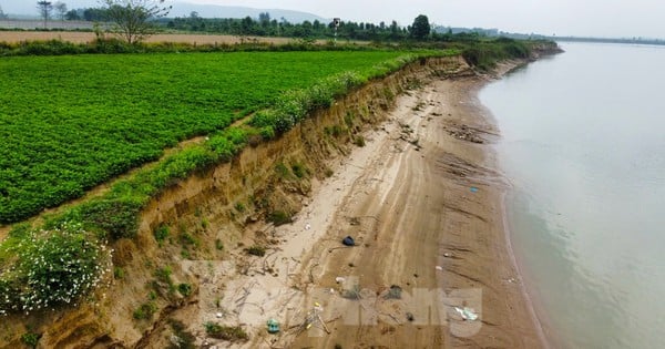
Cua Rao River junction - the confluence of the Nam Non and Nam Mo rivers, and also the source of the Lam River.
Ancient temple on the legendary Lam river
Van Temple - Cua Rao is located on the outskirts of Thach Giam town, Tuong Duong district, bearing the typical cultural identity of the ethnic groups in the highlands of Nghe An, with a long-lasting vitality throughout its 700-year history and located on an island shaped like a boat's bow at the confluence of three rivers: including two branches Nam Non on the left, Nam Mo on the right, both originating from Laos after overcoming many dangerous rapids, to the front of Van Temple - where the locals gave it a very impressive name: Cua Rao. From here, the two converge to give birth to Lam River, also known as Ca River (big river).
Here, the Lam River continues its journey downstream in Nghe An with a length of more than 360 km and is fed by the Hieu River (Que Phong District), the Giang River (Con Cuong District), and the La River (Duc Tho District - Ha Tinh) before lingering and slowly merging into the great sea at Hoi estuary.
Also on that journey, for many generations, the river has become a source of culture, nourishing many generations of residents: O Du, Thai, Mong, Kinh and together with the Hong Linh mountain range, the Lam River is a symbol of the ancient Hoan Chau region, which is the two provinces of Nghe An and Ha Tinh today.

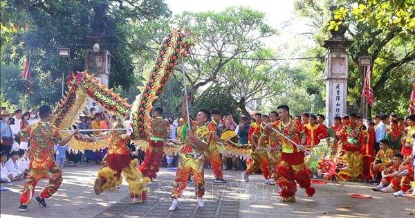
Thai Xoe dance exchange in the highlands of Nghe An
Leaving Highway 7A, I walked down the suspension bridge over the Nam Mo River leading to the temple complex, facing the Lam River in the east direction.
The wind from the river blew cool on the body. It was truly refreshing, the fatigue disappeared after the endless mountain passes and slopes to reach a miracle of nature. According to Mr. Nguyen Trong Thang, the head of the Van - Cua Rao temple: The predecessor of Van temple was a small temple built by the fishermen at the source of Lam river in 1335 to burn incense to commemorate General Doan Nhu Hai - a famous minister who lived through three Tran dynasty kings. He and his loyal soldiers, under the order of the retired Emperor Tran Minh Tong, went to suppress the Ai Lao rebels who were harassing the southwestern fence area, unfortunately he was ambushed and died in the Cua Rao area that year.
Later, the temple was expanded and gradually built into a massive, beautiful structure looming under the canopy of thousand-year-old trees and named Van Temple because it is located right at the river junction, also meaning that it was established by people living on the river.
Tuong Duong is a district with 6 ethnic groups living together: Thai, Kinh, Kho Mu, Mong, O Du, Tay Poong with a total population of 75,993 people. Of which, Thai people account for the majority with 54,815 people, Mong 3,083 people, Kho Mu 8,979 people, Kinh people account for about 10% in the "ethnic minority" group.
Although the process of social development has led to changes in traditional cultural values, the Thai people in Tuong Duong still preserve their cultural identity in terms of customs, cuisine, costumes, and every day, under the stilt houses, the clattering sound of shuttles on looms still resounds.
From agricultural tools to tourism products
It is even more admirable when on the inter-commune road from Cua Rao intersection, over Ban Ve slope, through Yen Hoa commune, visitors can easily see along the stream, river or green fields water wheels, also known as water wheels - a tool in agricultural production activities of the mountainous region, completely hand-assembled by the people from bamboo, rattan, reeds, rattan... available locally.

Water wheels become check-in spots for tourists from far away
The water wheel operates thanks to the flow of Cha Ha stream, creating a pushing force that makes the wheel slowly and steadily rotate, bringing the bamboo pipes up high. At a certain position, the bamboo pipes will pour water down bamboo troughs leading to terraced fields or to water crops.
Living in the highlands, the terrain is fragmented, making canals to have water for planting like in the lowlands is impossible. Furthermore, the villagers are still poor, buying a pump to bring water to the fields is a luxury, so it is better to return to the traditional water wheel tool like our ancestors in the past, which is low cost, highly effective and suitable for mountainous terrain.

The water wheels by Cha Ha stream spin tirelessly day and night.
Since the water wheels have been spinning tirelessly day and night, along with the images of people casting nets to catch fish for a living along the river and stream, they have added a touch of beauty to the landscape painting, attracting more and more tourists from near and far to visit and take photos. Therefore, the cultural sector of Yen Hoa commune has mobilized people to build water channels, install bamboo bridges, and viewing huts next to the water wheels installed in a long row operating on the clear stream... to develop community tourism for the locality.
Not only that, to increase the attractiveness and retain visitors, local people have opened an eco-tourism spot in the Sang Le forest with countless slender trees, tens of meters high, interwoven with ancient trees, for visitors to rest, enjoy traditional dishes, and exchange Thai xoe dances. It is a great effort but reaps two or three benefits, both maintaining the cultural features of the Thai people living in the border area, and building tourism products associated with agriculture and helping people earn more income.
Source link

![[Photo] Looking back at the impressive moments of the Vietnamese rescue team in Myanmar](https://vstatic.vietnam.vn/vietnam/resource/IMAGE/2025/4/11/5623ca902a934e19b604c718265249d0)

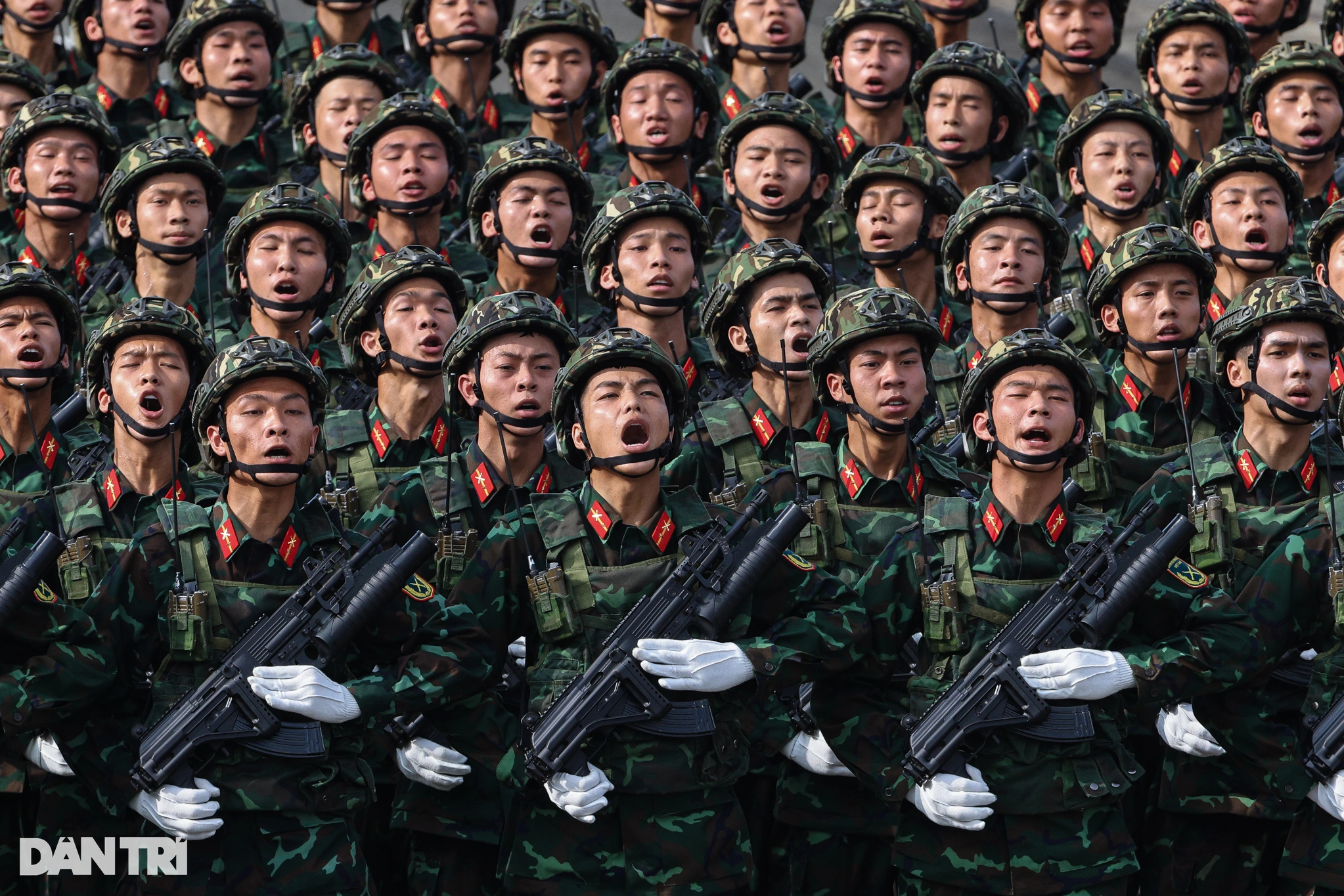
![[Photo] Summary of parade practice in preparation for the April 30th celebration](https://vstatic.vietnam.vn/vietnam/resource/IMAGE/2025/4/11/78cfee0f2cc045b387ff1a4362b5950f)
![[Photo] "Beauties" participate in the parade rehearsal at Bien Hoa airport](https://vstatic.vietnam.vn/vietnam/resource/IMAGE/2025/4/11/155502af3384431e918de0e2e585d13a)


Comment (0)