
According to the National Center for Hydro-Meteorological Forecasting, currently (January 7), in the North, a cold air mass is moving south.
Around January 9, this strengthened cold air mass will affect the Northeast region, then affect the North Central region and some places in the Northwest and North Central regions.
From the night of January 10, the cold air continued to strengthen and affect other places in the Northwest and Central Central regions, and some places in the South Central region. The northeast wind inland gradually strengthened to level 2-3, and coastal areas to level 3-4.
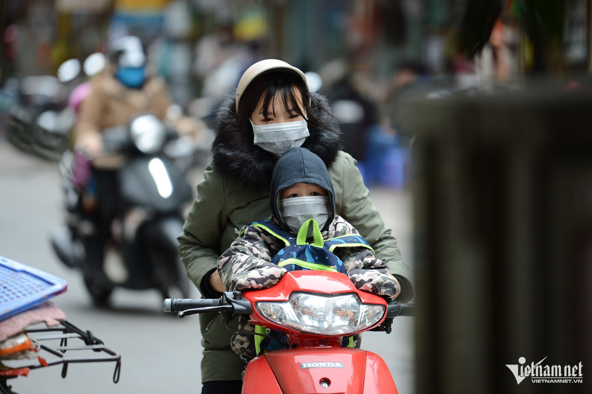
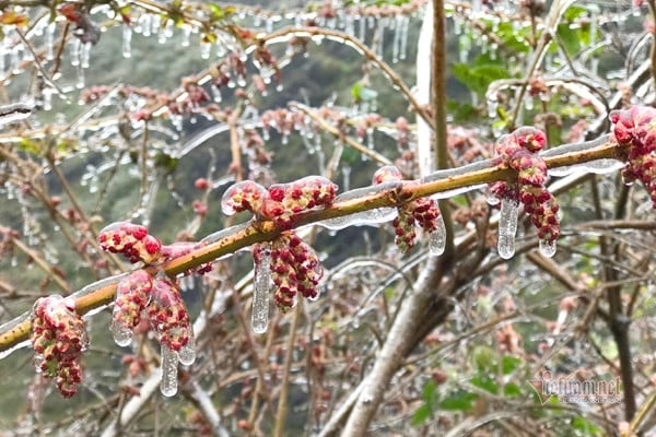
Due to the influence of cold air , the weather in the North, North Central and Central Central regions continues to be cold, with some areas in the mountainous and midland areas of the North experiencing severe cold. The lowest temperature during this cold air mass in the North and North Central regions is generally 10-13 degrees, in the mountainous areas of the North 6-9 degrees, in the high mountainous areas below 5 degrees in some places; in the area from Quang Binh to Thua Thien Hue, it is generally 15-18 degrees.
Hanoi weather is cold; the lowest temperature in this cold air mass is commonly 10-13 degrees.
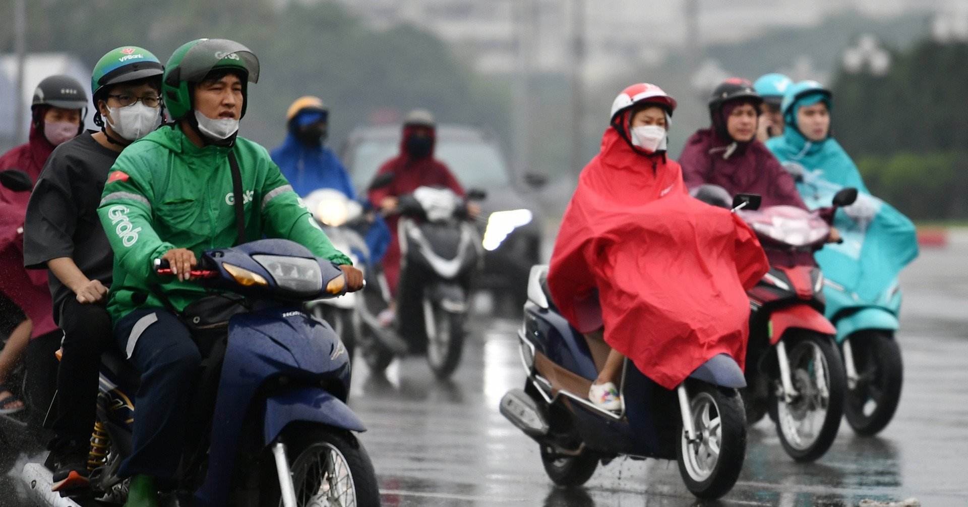
Cold air has intensified since the night of January 9, causing rain, showers and scattered thunderstorms from Ha Tinh to Binh Dinh, with some places experiencing heavy rain. Thunderstorms are likely to bring tornadoes, lightning and strong gusts of wind.
Weather at sea, from noon and afternoon of January 9, in the North East Sea, the Northeast wind will gradually increase to level 6-7, gusting to level 8-9, rough seas, waves 4-6m high. From the afternoon of January 9, in the Gulf of Tonkin, the central East Sea, the sea from Quang Tri to Khanh Hoa, the Northeast wind will increase to level 6, sometimes level 7, gusting to level 8-9, rough seas, waves 3-6m high.
The meteorological agency warned that the impact of cold air causing thunderstorms accompanied by tornadoes, lightning and strong gusts of wind could affect agricultural production, break trees, damage houses, traffic works and infrastructure.
Localized heavy rains can cause flooding in low-lying areas; flash floods in small rivers and streams, and landslides on steep slopes.
Strong winds and large waves at sea are likely to affect boating and other activities.

The North is likely to receive continuous cold air, with cloudy and cold weather for many days.
Cold air is likely to rush into our country from the night of January 8 to mid-January 2025. It is forecasted that the North will have many cloudy days with cold weather, with some places dropping below 10 degrees.
The North is likely to have many days of severe cold with frost in January.
In January, cold air tends to be more active than in December 2024; there is a high possibility of causing many days of severe cold in the Northern region, concentrated around mid-January.

![[Photo] Promoting friendship, solidarity and cooperation between the armies and people of the two countries](https://vstatic.vietnam.vn/vietnam/resource/IMAGE/2025/4/17/0c4d087864f14092aed77252590b6bae)
![[Photo] Nhan Dan Newspaper announces the project "Love Vietnam so much"](https://vstatic.vietnam.vn/vietnam/resource/IMAGE/2025/4/17/362f882012d3432783fc92fab1b3e980)
![[Photo] Closing of the 4th Summit of the Partnership for Green Growth and the Global Goals](https://vstatic.vietnam.vn/vietnam/resource/IMAGE/2025/4/17/c0a0df9852c84e58be0a8b939189c85a)
![[Photo] General Secretary To Lam receives French Ambassador to Vietnam Olivier Brochet](https://vstatic.vietnam.vn/vietnam/resource/IMAGE/2025/4/17/49224f0f12e84b66a73b17eb251f7278)
![[Photo] National Assembly Chairman Tran Thanh Man meets with outstanding workers in the oil and gas industry](https://vstatic.vietnam.vn/vietnam/resource/IMAGE/2025/4/17/1d0de4026b75434ab34279624db7ee4a)


![[Photo] Welcoming ceremony for Chinese Defense Minister and delegation for friendship exchange](https://vstatic.vietnam.vn/vietnam/resource/IMAGE/2025/4/17/fadd533046594e5cacbb28de4c4d5655)


![[Video] Viettel officially puts into operation the largest submarine optical cable line in Vietnam](https://vstatic.vietnam.vn/vietnam/resource/IMAGE/2025/4/17/f19008c6010c4a538cc422cb791ca0a1)


Comment (0)