
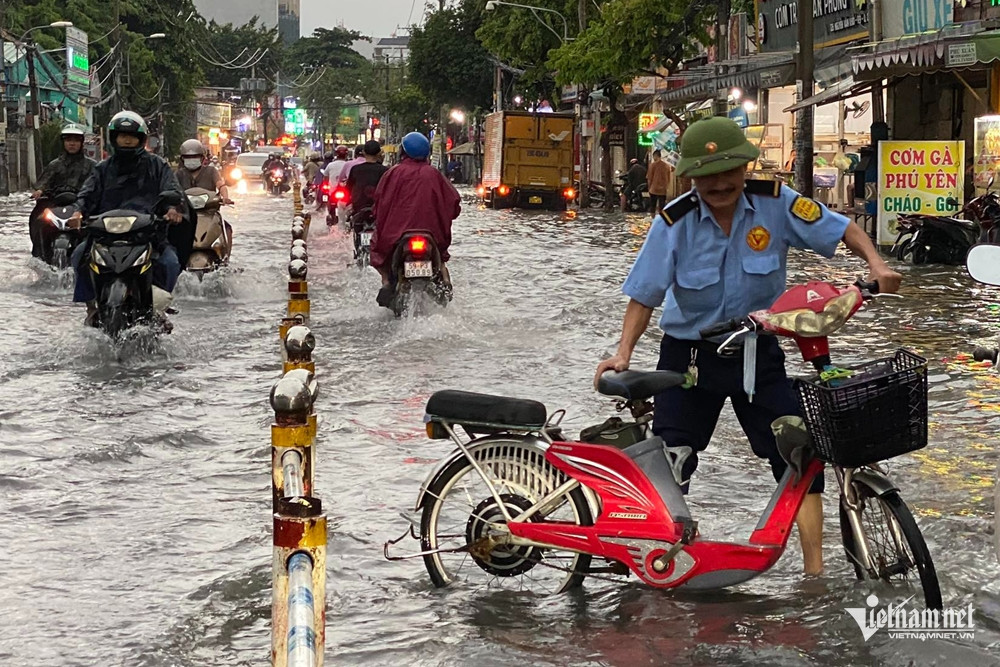
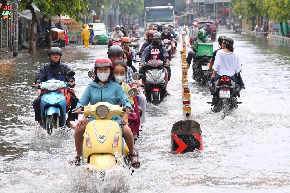
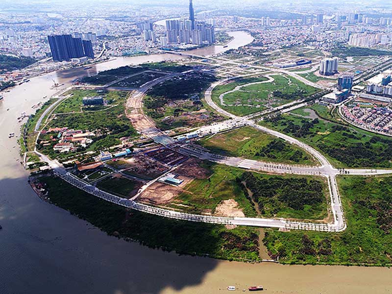
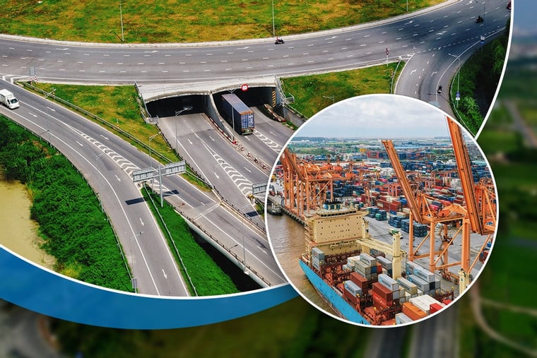
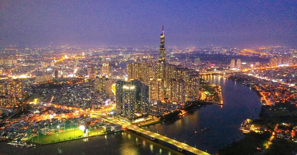
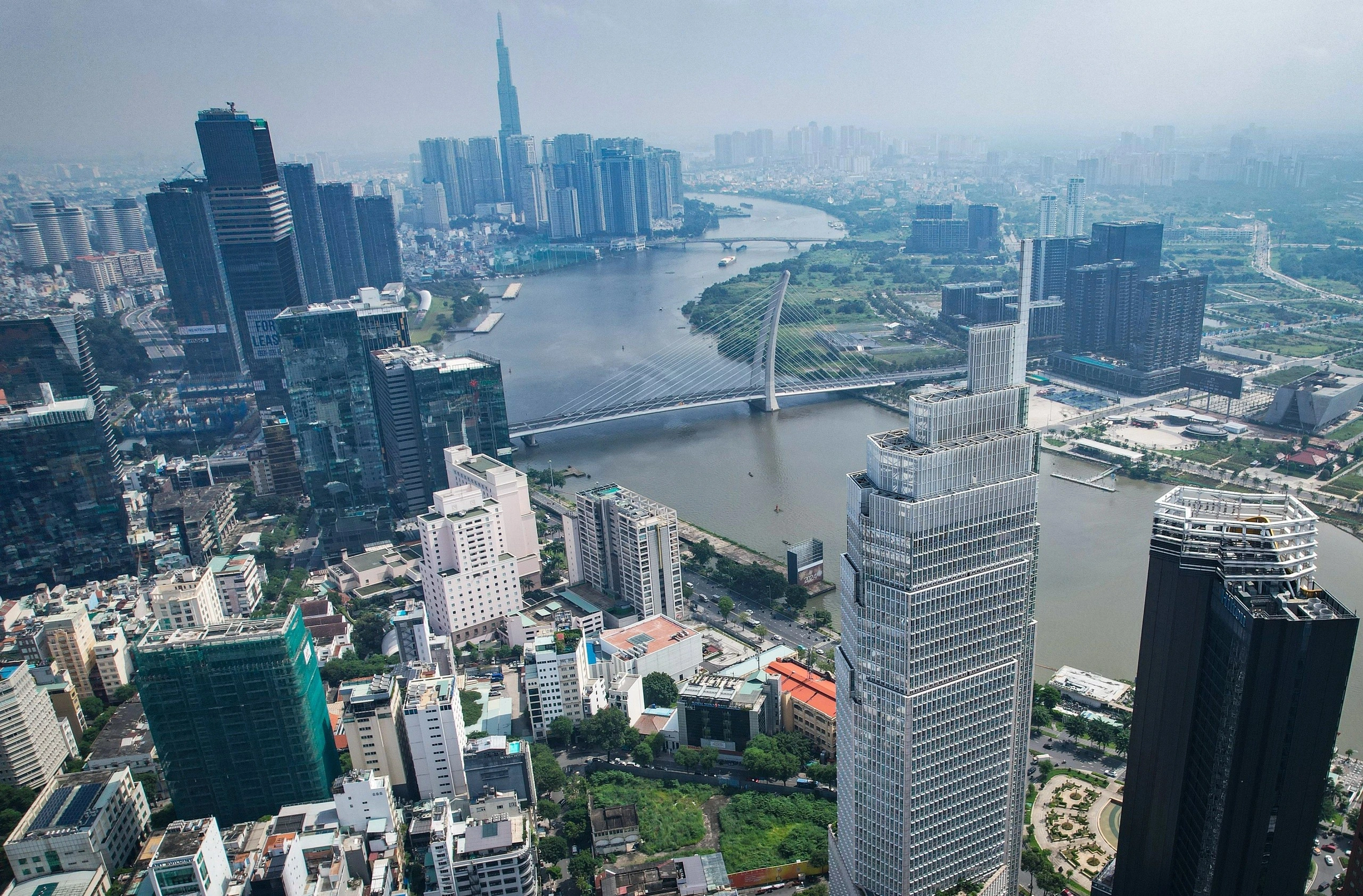
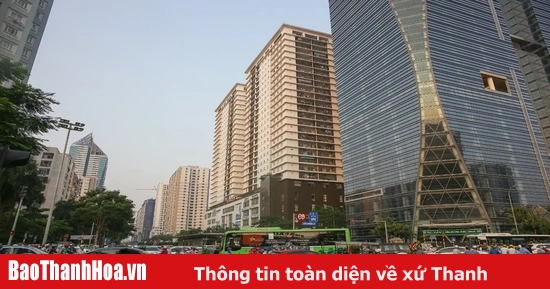
The highest tide is forecast to appear on October 18-19, combined with heavy rain, causing a very high risk of flooding in Ho Chi Minh City and the Southern provinces.
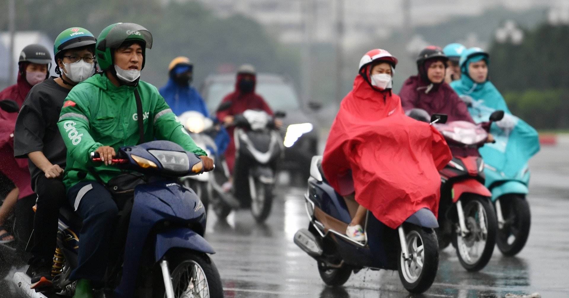
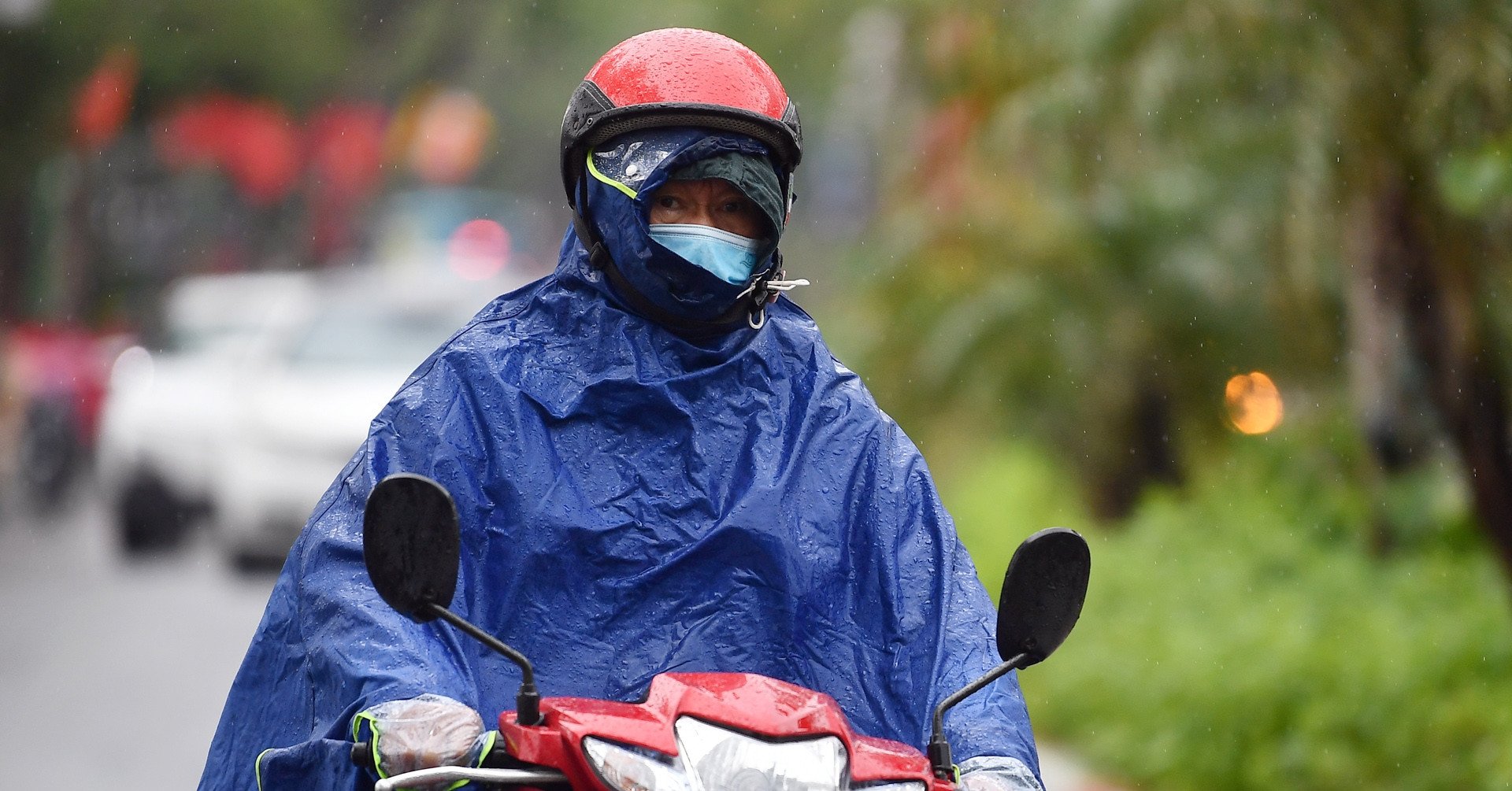
According to the Southern Hydrometeorological Station, Ho Chi Minh City and the South will continue to have heavy rain in the coming days.
The cause is due to the influence of the equatorial low pressure trough with its axis crossing the Southern - South Central region, existing from the low level to the upper levels. In addition, the subtropical high pressure with its axis crossing the North encroaches back to the west. The easterly wind disturbance at high altitudes operates well and remains in the Southern region.
These patterns interact with each other, causing regional weather disturbances.
Therefore, the weather in Ho Chi Minh City and the South today (October 18) is cloudy to cloudy, with intermittent sunshine. During the day, there will be showers and thunderstorms, with some places having moderate rain, heavy rain, and very heavy rain. Heavy rain will mainly be concentrated in the afternoon and evening. During thunderstorms, beware of tornadoes, lightning, and strong gusts of wind.
The National Center for Hydro-Meteorological Forecasting also forecasts that today and tonight, in the Southern region, there will be rain, moderate rain and scattered thunderstorms, locally heavy to very heavy rain with rainfall from 20-40mm, locally over 80mm (rain concentrated in the afternoon and evening); warning of the risk of local heavy rain (>80mm/6 hours).
In addition, the Southern Hydrometeorological Station forecasts that water levels at stations downstream of the Saigon - Dong Nai river system will rise following the high tide of the 15th day of the 9th lunar month and will be at a high level. The highest peak tide is likely to occur on October 18-19 and reach the following levels:
At Phu An and Nha Be stations, it can reach 1.7-1.75m (about 0.1-0.15m above alert level 3). Occurrence time is from 4-7 and 16-19.
At Thu Dau Mot station (Saigon River) it reached 1.75-1.8m (about 0.15-0.2m above alarm level 3).
At Bien Hoa station (Dong Nai river) it reached 2.05-2.1m (about 0.05-0.1m above alarm level 2).
The level of natural disaster risk in the downstream area of Saigon - Dong Nai River is at level 2.
The meteorological station warns that this is the high tide period of the year, so it is necessary to be on guard against heavy rain combined with high tide causing flooding in low-lying areas and riverside areas, affecting traffic and economic activities.
social area of Ho Chi Minh City.

High tide exceeds alert level 3, people cross 'sea of water' to bring their children home
Ho Chi Minh City is about to welcome the highest tide peak, heavy rain continues
Source: https://vietnamnet.vn/hom-nay-tphcm-hung-combo-dinh-trieu-cuong-kem-mua-lon-2333034.html
![[Photo] President Luong Cuong meets with King Philippe of Belgium](https://vstatic.vietnam.vn/vietnam/resource/IMAGE/2025/4/1/1ce6351a31734a1a833f595a89648faf)
![[Photo] Queen of the Kingdom of Belgium and the wife of President Luong Cuong visit Uncle Ho's Stilt House](https://vstatic.vietnam.vn/vietnam/resource/IMAGE/2025/4/1/9752eee556e54ac481c172c1130520cd)

![[Photo] President Luong Cuong and the King of Belgium witness the Vietnam-Belgium document exchange ceremony](https://vstatic.vietnam.vn/vietnam/resource/IMAGE/2025/4/1/df43237b0d2d4f1997892fe485bd05a2)
![[Photo] Official welcoming ceremony for the King and Queen of the Kingdom of Belgium](https://vstatic.vietnam.vn/vietnam/resource/IMAGE/2025/4/1/9e1e23e54fad482aa7680fa5d11a1480)


Comment (0)