Both coastal road projects, the section through Cua Tung and Cua Viet bridges, and the route connecting Quang Tri Airport with National Highway 1 are being considered for design adjustments to suit reality and planning.
Quang Tri: Adjusting the design of 2 important traffic projects
Both coastal road projects, the section through Cua Tung and Cua Viet bridges, and the route connecting Quang Tri Airport with National Highway 1 are being considered for design adjustments to suit reality and planning.
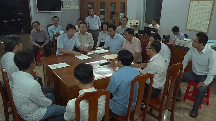
Vice Chairman of Quang Tri Provincial People's Committee Le Duc Tien has just inspected the site and held a meeting to discuss the handling of two important traffic projects of the province in Gio Linh district: the coastal road section through Cua Tung and Cua Viet bridges, and the road connecting Quang Tri Airport with National Highway 1 (phase 1).
According to the Quang Tri Provincial Investment and Construction Project Management Board, the coastal road project through Cua Tung and Cua Viet bridges was approved by the Quang Tri Provincial People's Council in December 2023; the Provincial People's Committee approved the feasibility study report in April 2024.
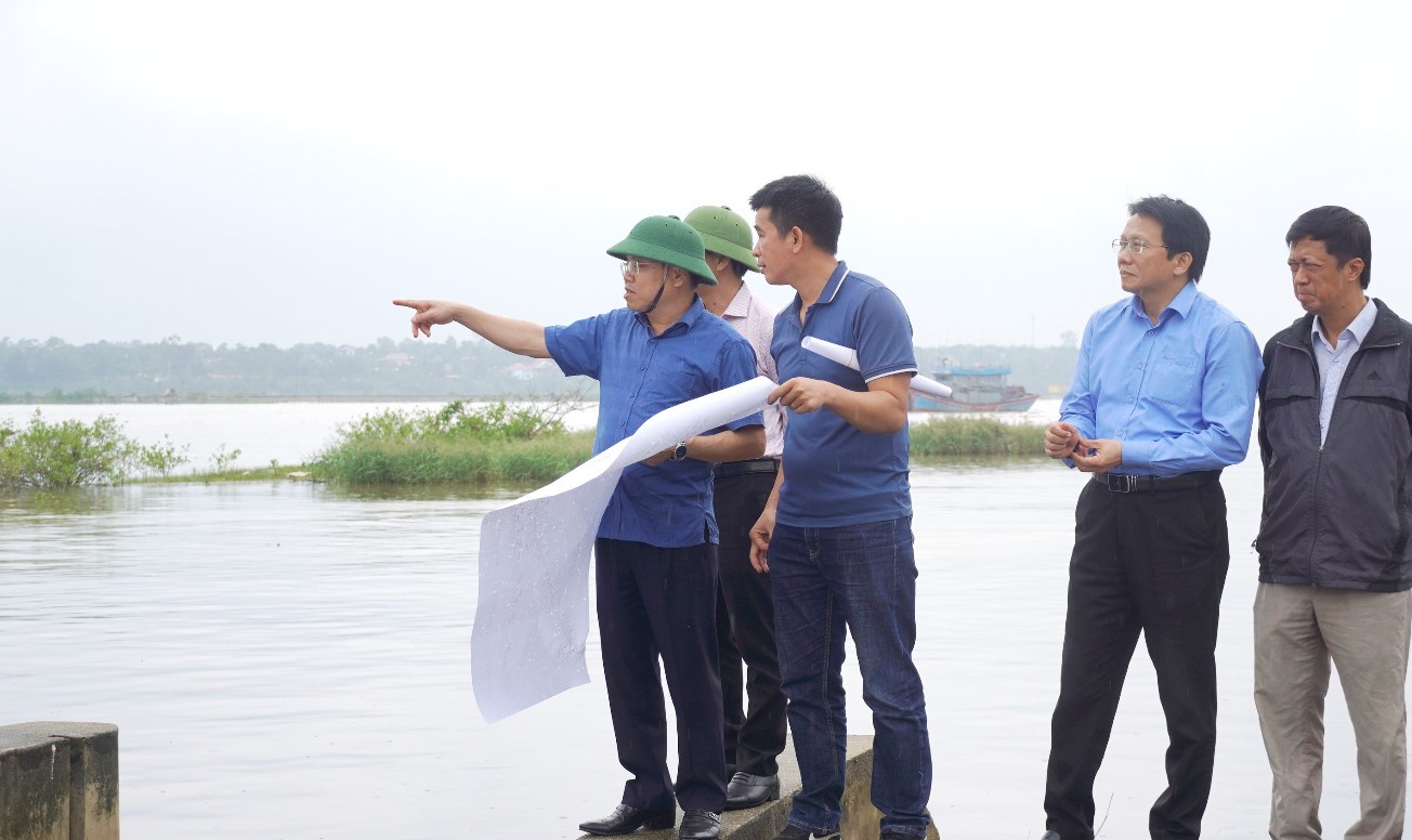 |
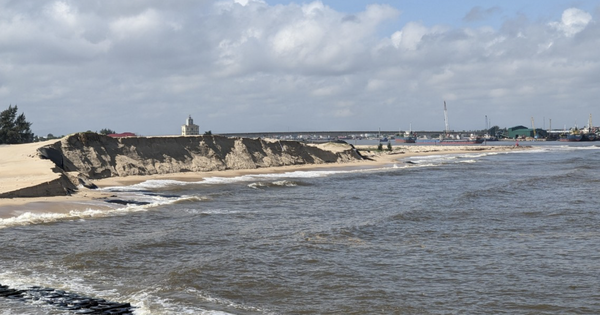
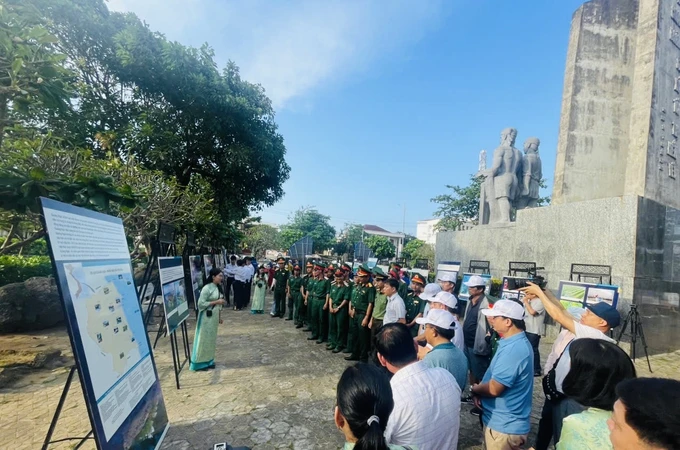
| Vice Chairman of Quang Tri Provincial People's Committee Le Duc Tien (pointing) inspects the coastal road section through Cua Tung and Cua Viet bridges through Gio Linh district. Photo: Tien Nhat |
The project has an investment of 600 billion VND with a length of about 3.16 km, involving site clearance work, affecting 100 households, 312 graves and a number of works and architectural structures.
Regarding the scale of adjustment, for the section passing through Cua Tung bridge area, Cua Tung bridge will be adjusted from 11 spans to 9 spans, the total length of the bridge to the end of the abutment will be reduced from 608.6m to 500.8m.
The section passing through Cua Viet bridge area moves to the west of Ha Tay market, the route length increases by about 1 km; the roadbed width is adjusted from 9 m to 14 m on each side to match the scale of the current Central Road along the Southeast Economic Zone; Ha Tay bridge is adjusted from 5 girder spans, bridge width of 16.5 m to 2 slab bridge units, each unit is 9 m wide, the total length of the bridge to the end of the abutment is reduced from 222.4 m to 24.7 m. The starting point of the route connects traffic with the concrete road along the South bank of Hieu River, the end point is at the intersection of the Central Road along the Southeast Economic Zone and National Highway 49C, Trieu An commune, Trieu Phong district.
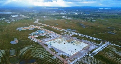
The Quang Tri Airport-National Highway 1 connecting route project was approved by the Quang Tri Provincial People's Council and approved the adjustment of investment policy in December 2021. In which, phase 1 will invest in the construction of the section from the intersection with the Eastern bypass project of Dong Ha city to the entrance to Quang Tri Airport. The project has a route length of about 2.89 km with a total investment of VND 89,689 billion.
According to the Quang Tri Provincial Investment and Construction Project Management Board, the feasibility study report for the adjustment of both projects has been appraised by the Department of Transport and submitted to the Provincial People's Committee for approval, with construction expected to begin from March 2025 to December 2025.
Inspecting the scene and giving instructions at the working session, Vice Chairman of Quang Tri Provincial People's Committee Le Duc Tien requested the Quang Tri Provincial Investment and Construction Project Management Board to coordinate with localities to promptly deploy steps to prepare for site clearance, including reviewing and calculating resettlement plans for households in the project-affected areas; carefully researching and calculating to soon develop a specific plan according to the newly adjusted route for the Coastal Road section through the Cua Tung and Cua Viet bridges.
Vice Chairman Le Duc Tien assigned departments and branches, according to their assigned functions and tasks, to coordinate with related units to recalculate technical data on bridge girder bottoms, maximum slope design... when constructing projects, as well as plans and procedures related to common materials used for projects.


![[Photo] Prime Minister Pham Minh Chinh chairs the Government's special meeting on law-making in April](https://vstatic.vietnam.vn/vietnam/resource/IMAGE/2025/4/13/8b2071d47adc4c22ac3a9534d12ddc17)
![[Photo] National Assembly Chairman Tran Thanh Man attends the ceremony to celebrate the 1015th anniversary of King Ly Thai To's coronation](https://vstatic.vietnam.vn/vietnam/resource/IMAGE/2025/4/13/6d642c7b8ab34ccc8c769a9ebc02346b)
![[Photo] National Assembly Chairman Tran Thanh Man attends the Policy Forum on Science, Technology, Innovation and Digital Transformation](https://vstatic.vietnam.vn/vietnam/resource/IMAGE/2025/4/13/c0aec4d2b3ee45adb4c2a769796be1fd)










































Comment (0)