
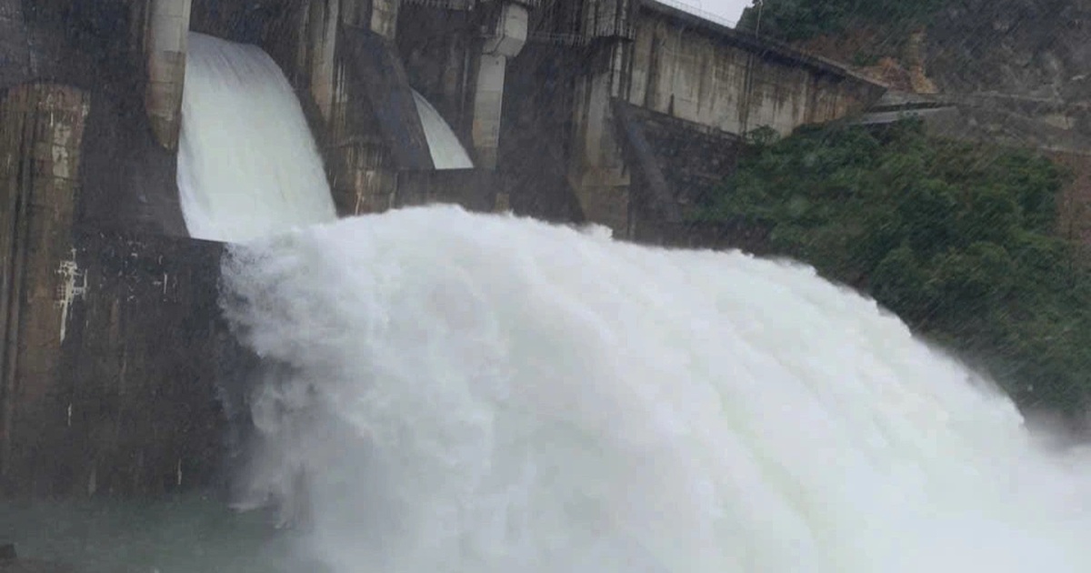
In the past few days, thunderstorms have appeared over a wide area, with some areas experiencing heavy to very heavy rain. The rainfall from 7pm on June 5 to 7am on June 6 was over 100mm in some places, such as: Luc Yen (Yen Bai) 127mm, Gia Phu (Lao Cai) 113.4mm, Minh Quang (Vinh Phuc) 113.6mm, Bao Loc (Lam Dong) 166mm, Ha Mon (Kon Tum) 107.6mm, Pleiku (Gia Lai) 112mm...

Low pressure in the East Sea is likely to strengthen into a storm next week.
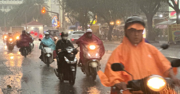
During the day and night of June 6, the area from Da Nang to Binh Thuan, the Central Highlands and the South will have scattered showers and thunderstorms; in the afternoon and evening, there will be moderate rain, locally heavy to very heavy rain with rainfall of 20 - 50mm, some places over 80mm. During thunderstorms, there is a possibility of tornadoes, lightning, hail and strong gusts of wind. Locally heavy to very heavy rain can cause flooding in low-lying areas.
In the Southern region, the regional hydrometeorological station said that heavy to very heavy rain (locally over 100mm) will occur in Dong Nai, Binh Phuoc, Binh Duong, Soc Trang, Bac Lieu, Ca Mau, Kien Giang. The possibility of widespread heavy rain will last until the end of June 10. During thunderstorms, there is a possibility of tornadoes, lightning, hail and strong gusts of wind.
The offshore waters from Ba Ria-Vung Tau to Ca Mau have southwest winds of level 5, sometimes level 6, gusting to level 7. "Ships and other activities in the southern waters are at high risk of being affected by bad weather. Particularly, the waters from Ba Ria-Vung Tau to Ca Mau and the southern East Sea (including the waters west of Truong Sa archipelago) are also affected by strong winds and big waves.
Explaining the current bad weather, MSc. Le Thi Xuan Lan said: It is due to the influence of the tropical convergence zone across the Hoang Sa and Truong Sa archipelagos. This convergence zone causes the southwest monsoon to be active. In addition, in the East Sea, northeast of the Truong Sa archipelago, there is a disturbance that is strengthening into a low pressure area. In addition, off the coast of the Philippines, there is a tropical depression that is strengthening into a storm and will become storm number 3 in the northwest Pacific Ocean.
These bad weather patterns combine to cause widespread thunderstorms, with some places experiencing heavy to very heavy rain on the mainland of our country. "The latest forecasts suggest that by June 13, the low pressure in the East Sea will also strengthen into a storm. Its specific path and developments will need to be further monitored. The storm off the coast of the Philippines will not enter the country but will move north, possibly towards Taiwan. These bad weather patterns will cause widespread thunderstorms in the coming days, with some places experiencing rain from early morning. Activities at sea need to be on guard against bad weather and rough seas," Ms. Lan warned.
Source link
![[Photo] Opening of the 11th Conference of the 13th Party Central Committee](https://vstatic.vietnam.vn/vietnam/resource/IMAGE/2025/4/10/f9e717b67de343d7b687cb419c0829a2)
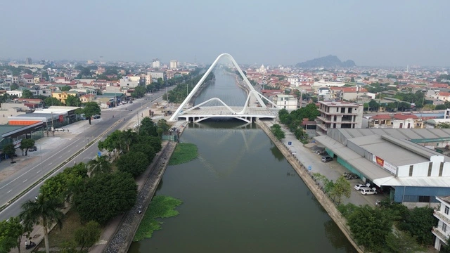
![[Photo] April Festival in Can Tho City](https://vstatic.vietnam.vn/vietnam/resource/IMAGE/2025/4/10/bf5ae82870e648fabfbcc93a25b481ea)


![[Photo] Prime Minister Pham Minh Chinh commends forces supporting Myanmar in overcoming earthquake consequences](https://vstatic.vietnam.vn/vietnam/resource/IMAGE/2025/4/10/e844656d18bd433f913182fbc2f35ec2)


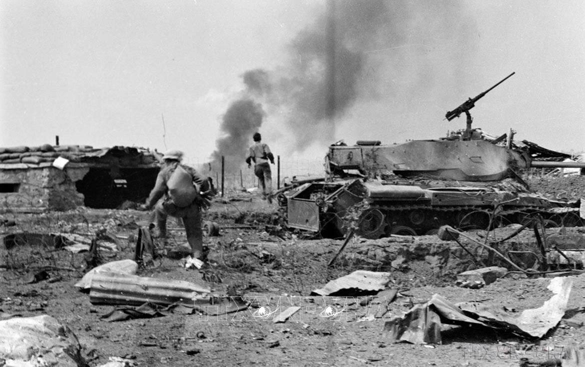


![[Photo] Reliving the heroic memories of the nation in the program "Hanoi - Will and belief in victory"](https://vstatic.vietnam.vn/vietnam/resource/IMAGE/2025/4/10/19ce7bfadf0a4a9d8e892f36f288e221)


Comment (0)