
The dream of riverside planning through generations
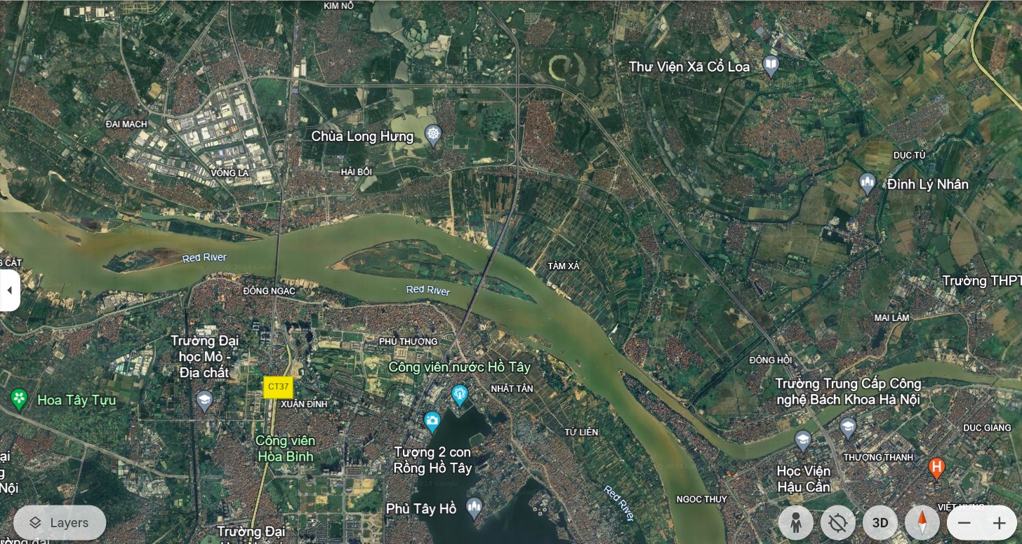
Since the founding of Thang Long Citadel, the Red River has played a vital role, feeding many generations of people, being a bustling trading place, and also witnessing the changes of the earth and sky. Hanoi today, with more than 160 km of winding Red River, of which 40 km flows entirely within the city, has formed large areas of land, creating a rare land fund in the heart of a rapidly developing urban area.

The story of riverside planning was not only brought up in the 21st century. Since 1954, the first blueprints have laid the foundation for a long-term vision. After 7 adjustments to the capital's planning, each time the Red River was mentioned as a key landscape axis, a strategic space for the future. In particular, in 2008, when Hanoi expanded its administrative boundaries, the dream of a riverside city became clearer in the Capital's Master Plan for Construction to 2030, with a vision to 2050.

Not only domestically, the Red River has also attracted the attention of many international organizations. Large-scale projects have appeared one after another: From the "Red River Town" project proposed by Singaporean investors in 1996, to the "Science Urban Area" that Indochina Land Company (USA) came up with the idea in 2005. In particular, in the period of 2004 - 2006, two projects HAIDEP (Vietnam - Japan) and planning cooperation between Hanoi and Seoul (Korea) have attracted public attention for a long time.
These are all very noteworthy projects.
- Dr. Architect Dao Ngoc Nghiem, former Director of Hanoi Department of Planning and Architecture - who has many years of experience in planning the Red River -
Wide potential from fertile alluvial grounds
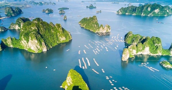
Seen from above, the Red River bank looks like a silk strip winding around the city, carrying about 5,800 hectares of alluvial land, ten times the area of Hoan Kiem district. If exploited properly, this area can open up a new urban space, reducing pressure on the old central area.

Not only is it a wild land, it is also a place of residence for more than 210,000 people, where 105 traditional craft village relics are preserved. A rich cultural and historical treasure, combined with natural advantages, creates a solid foundation for sustainable urban development.
 shares with Lao Cai Newspaper reporters about the story of urban planning along the Red River in Hanoi.")
From personal documents, these are all numbers provided by Dr. Architect Dao Ngoc Nghiem when talking to us. He affirmed that the above numbers show the great potential, the preciousness of the land along the Red River. Therefore, a systematic strategy, a comprehensive solution, ensuring harmony between development and conservation, between urbanization and safety against natural disasters is needed.
.")
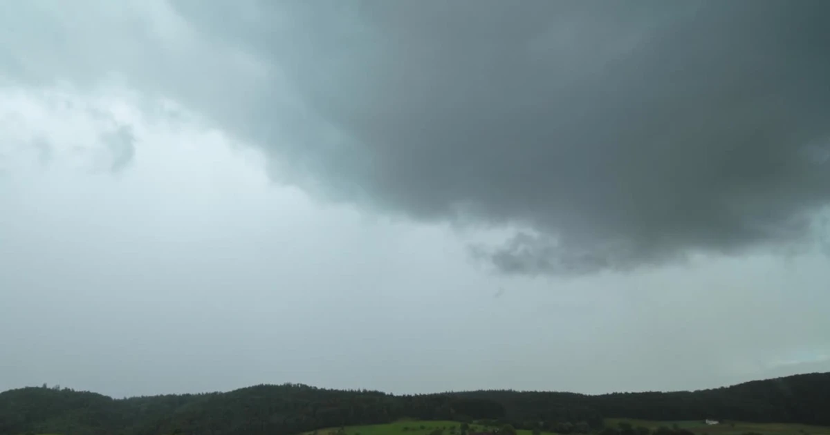
The Red River - the great mother river, but also contains unpredictable fluctuations. The water level changes erratically, at its highest it reaches more than 13 m, at its lowest it is only about 2 m. In particular, in a cycle of about 100 years, the flow changes, creating major changes in the river's position.
These factors have caused many obstacles for previous planning projects. There is no complete water management plan, and the exploitation of riverside land is still a difficult problem. In addition, the issue of establishing regional relationships between Hanoi and neighboring provinces also needs to be carefully considered to ensure harmonious development and avoid negative impacts on the general irrigation system.
City on both banks of the river - determined to exploit potential
After many years of waiting, on March 31, 2022, the Hanoi People's Committee officially approved the Red River Urban Planning Project, scale 1/5000, from Hong Ha Bridge to Me So Bridge. This is not only a legal decision, but also a milestone demonstrating the government's determination to awaken the potential of the historic river.
.")
This plan covers about 30% of the length of the Red River through Hanoi, equivalent to 8% of the length of the river through the Red River Delta. A large-scale project with many complex factors, but if successfully implemented, it will become a breakthrough in urban planning, creating the premise for other riverside projects nationwide.
Not just drawings on paper, this time, Hanoi has synchronously deployed studies on flood drainage, flow management, learning from experiences from major cities in the world such as Seoul (Korea), Paris (France), Hangzhou (China). Practical lessons from the Han River, Seine River, and Qiantang River will contribute important suggestions for Hanoi to realize its dream of a riverside city.
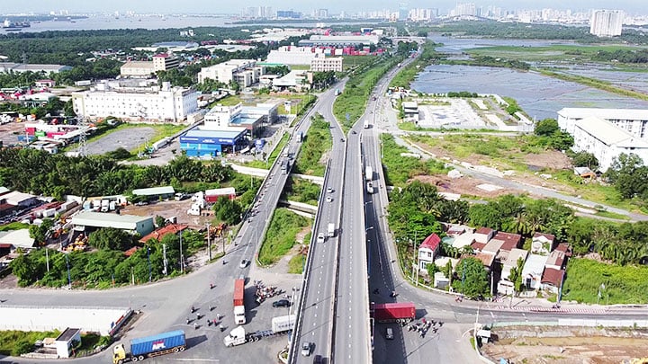
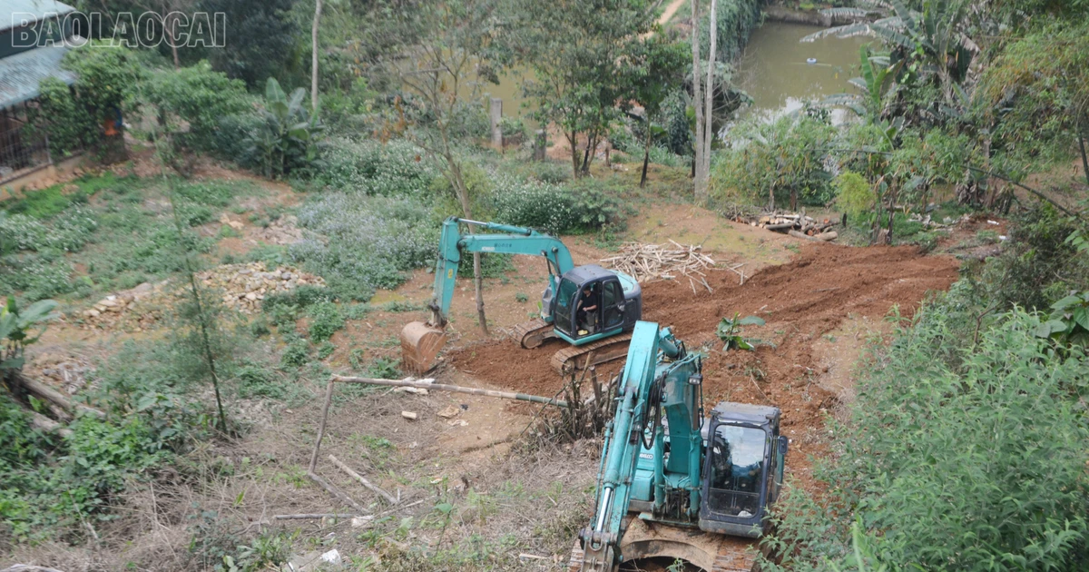
In the context of planning entering a specific phase, Hanoi is gradually implementing strategic solutions. The riverside road will be planned to upgrade the existing dike into a main traffic route, ensuring both flood drainage and meeting urbanization needs. Residential areas in high-risk areas will be relocated according to the roadmap, and people will be resettled in neighboring areas, ensuring a stable life.
.")
With the consent of the Ministry of Agriculture and Rural Development (now the Ministry of Agriculture and Environment), the plan to build two riverside roads is being carefully studied. The principle of not narrowing the flood escape space, not raising the existing dykes, not building new dykes has been established, creating a solid foundation for the implementation process. Requirements on safety against natural disasters, dyke planning, and traffic are all carefully considered. Urban development along the river is not only an economic issue, but also a responsibility to history, culture, and the environment.
Through many ups and downs, the Red River still flows quietly, still embracing fertile alluvial plains and lands with great potential. Today, Hanoi has laid the first bricks to realize its thousand-year dream - a modern, civilized, and unique riverside city.
The Red River is not simply a stream of water flowing through the city, but also a source of vitality, a symbol of sustainable development. When the planning problem is solved, when water control solutions are completed, a city on both banks of the river will no longer be a distant dream, but will become a reality, creating a brilliant mark for the capital Hanoi in the 21st century.
Lesson 5: Red River space - new symbol of the Capital
Source: https://baolaocai.vn/bai-4-danh-thuc-tiem-nang-tu-dat-bai-ven-song-post399281.html


![[Photo] Looking back at the impressive moments of the Vietnamese rescue team in Myanmar](https://vstatic.vietnam.vn/vietnam/resource/IMAGE/2025/4/11/5623ca902a934e19b604c718265249d0)

![[Photo] "Beauties" participate in the parade rehearsal at Bien Hoa airport](https://vstatic.vietnam.vn/vietnam/resource/IMAGE/2025/4/11/155502af3384431e918de0e2e585d13a)


![[Photo] Summary of parade practice in preparation for the April 30th celebration](https://vstatic.vietnam.vn/vietnam/resource/IMAGE/2025/4/11/78cfee0f2cc045b387ff1a4362b5950f)


Comment (0)