(GLO)- Editorial: According to the plan, before June 30, 2025, Gia Lai will complete the land inventory and map the current land use status in 2024. Regarding this content, Gia Lai Newspaper reporters interviewed Mr. Vu Ngoc An - Deputy Director of the Department of Agriculture and Environment.
Báo Gia Lai•03/04/2025
*Reporter: What is the purpose and significance of land inventory work, sir?
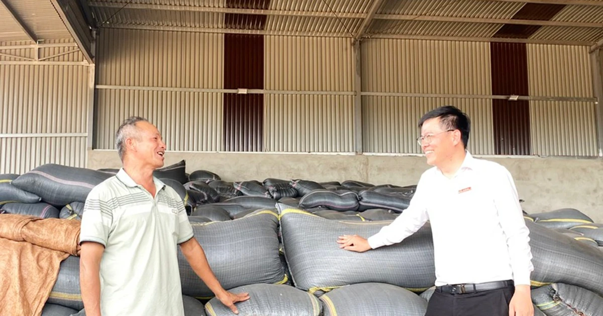
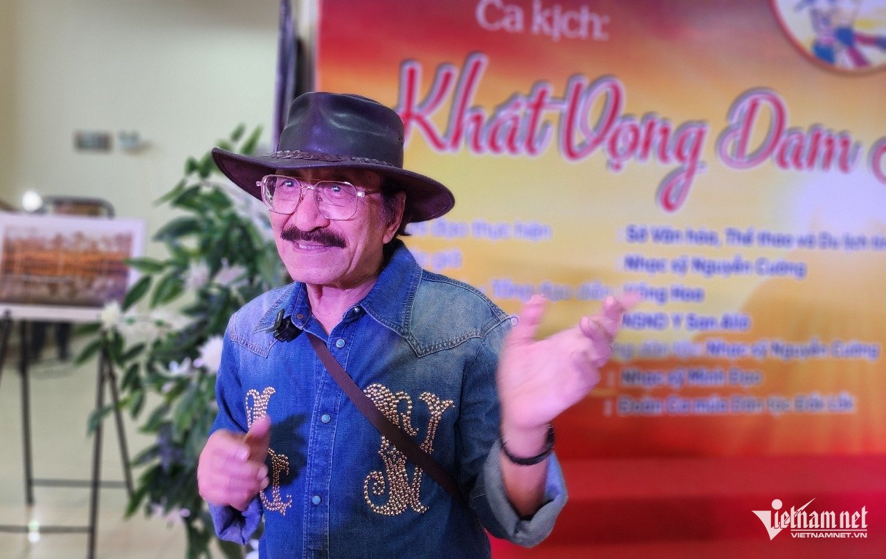
Mr. Vu Ngoc An. Photo: LN
- Mr. Vu Ngoc An: The land inventory and mapping of the current land use status in 2024 aims to assess the current status of land management and use of each administrative unit at the commune, district and provincial levels as a basis for assessing the land management and use situation at all levels in the past 5 years and proposing mechanisms, policies and measures to strengthen state management of land and improve land use efficiency.
At the same time, it serves as the basis for adjusting land use planning and plans for the 2021-2030 period, with a vision to 2050, and is an important basis for implementing the socio-economic development strategy, national defense and security to 2030, with a vision to 2045.
Along with that, providing statistical indicators belonging to the national statistical indicator system; serving the land information needs for socio-economic activities, national defense-security, scientific research, education and training, and other needs of the State and society.
*Reporter:What results has Gia Lai achieved in this work so far?
- Mr. Vu Ngoc An: The province has directed the implementation of land inventory, mapping the current land use status in 2024 for the district level, and submitting the results to the Department of Natural Resources and Environment on March 14, 2025. Up to this point, only 3 localities have submitted products: Duc Co district, Dak Po district and Ayun Pa town.
The submitted products are paper copies including: report explaining the current land use status; report explaining the current land use map; report on land inventory results. However, the submitted products of the 3 localities are not in accordance with regulations and have not been inspected and accepted. Therefore, the Provincial Land Registration Office requested the localities to complete and supplement.
Regarding the data on the TKOnline system, there is currently no data recorded at the commune and district levels. In addition, a thematic inventory has been carried out, including: the management and use of land by agricultural and forestry companies: 3,981 plots have been investigated, with 8,682 plots remaining; 35 commune-level administrative units with landslides and sedimentation have signed data sheets, while 2 commune-level administrative units with landslides and sedimentation have not signed data sheets; 127 commune-level administrative units without landslides and sedimentation have signed data sheets, while 43 commune-level administrative units without landslides and sedimentation have not signed data sheets; 16 commune-level administrative units have not verified whether there are landslides or sedimentation or not; have completed collecting the Pleiku Airport declaration and made a working record with the Central Aviation Authority.
*Reporter:So, what difficulties and problems does land inventory work in the province encounter, sir?
- Mr. Vu Ngoc An: The process of implementing land inventory work in the province encountered some difficulties and problems such as: economic-technical norms for land statistics and inventory in the province have not been issued; land inventory software is difficult to use; land type data needs to be determined according to the provisions of the new Land Law.
Previously, the Ministry of Natural Resources and Environment issued a document requesting localities to speed up the implementation progress and report before the prescribed time. Specifically: the district level shortened 20 days, must complete and report the results to the provincial level before March 10, 2025; the provincial level shortened more than 3 months and must complete and send to the Ministry before March 20, 2025 (the plan is before June 30, 2025).
Regarding administrative boundaries and natural area: According to Decision No. 826/QD-BNV dated November 24, 2024 of the Minister of Home Affairs on the recognition of the quantity and quality of records and maps of administrative boundaries at all levels of the province that have been completed and modernized according to Decision No. 513/QD-TTg dated May 2, 2012 of the Prime Minister. On March 12, 2025, the Department of Home Affairs issued Official Dispatch No. 577/SNV-XDCQ on the inspection of natural area data in the province according to administrative boundaries that have been accepted and put into use by the Central Council.
Accordingly, administrative boundaries and natural areas have some changes compared to the administrative boundaries and natural areas used to conduct land inventory in 2019. Therefore, localities need to adjust the current land use map and natural area to ensure compliance with the records recognized by the Minister of Home Affairs.
In addition, during the thematic inventory process, representatives of some agricultural and forestry companies said they could not determine the encroached area, the contracted area, the blank contracted area, and the investment cooperation area; they had not coordinated to confirm the relevant documents, so they encountered difficulties in ensuring the implementation progress.
At the meeting on February 26, Vice Chairman of the Provincial People's Committee Duong Mah Tiep - Head of the Steering Committee for land inventory and mapping of current land use status in 2024 in the province requested relevant departments, branches, sectors, units and People's Committees of districts, towns and cities to urgently perform specific tasks to speed up the progress of land inventory, ensuring quality and time as prescribed.


![[Photo] "Beauties" participate in the parade rehearsal at Bien Hoa airport](https://vstatic.vietnam.vn/vietnam/resource/IMAGE/2025/4/11/155502af3384431e918de0e2e585d13a)
![[Photo] Looking back at the impressive moments of the Vietnamese rescue team in Myanmar](https://vstatic.vietnam.vn/vietnam/resource/IMAGE/2025/4/11/5623ca902a934e19b604c718265249d0)


![[Photo] Summary of parade practice in preparation for the April 30th celebration](https://vstatic.vietnam.vn/vietnam/resource/IMAGE/2025/4/11/78cfee0f2cc045b387ff1a4362b5950f)


Comment (0)