
The Hanoi Capital Planning for the period 2021 - 2030, with a vision to 2050, was recently commented on by the National Assembly on June 20, 2024. All comments highly appreciated the quality and content of the Planning. One of the contents that impressed the National Assembly delegates was the promotion of the potential of the river and lake system to develop a "civilized - modern - civilized", green and smart" Capital.
The great advantage of the capital
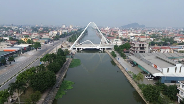
Hanoi is a city with a dense network of rivers and lakes with an average density of about 0.5 - 1.0 km of river/km2 of area. This is a unique natural feature that creates the characteristic geographical appearance of the capital.
Among them, there are two large rivers flowing through Hanoi, the Red River and the Da River. These are also the two largest rivers in the North of our country, with great value in the economic and social life, especially associated with the thousand-year history of building and defending the country, associated with the culture of the Northern Delta, connecting the culture of Thang Long and the culture of Xu Doai.
According to historian Duong Trung Quoc: “In the feng shui thinking of the ancient Vietnamese, the Red River is the milk that nourishes the people, but when talking about sacredness, it must be the Da River, Tan Mountain and the other side of the Da River is the Ancestral Land. Besides, the inner city river system, especially the To Lich River, has been attached throughout the history of Thang Long - Hanoi”.
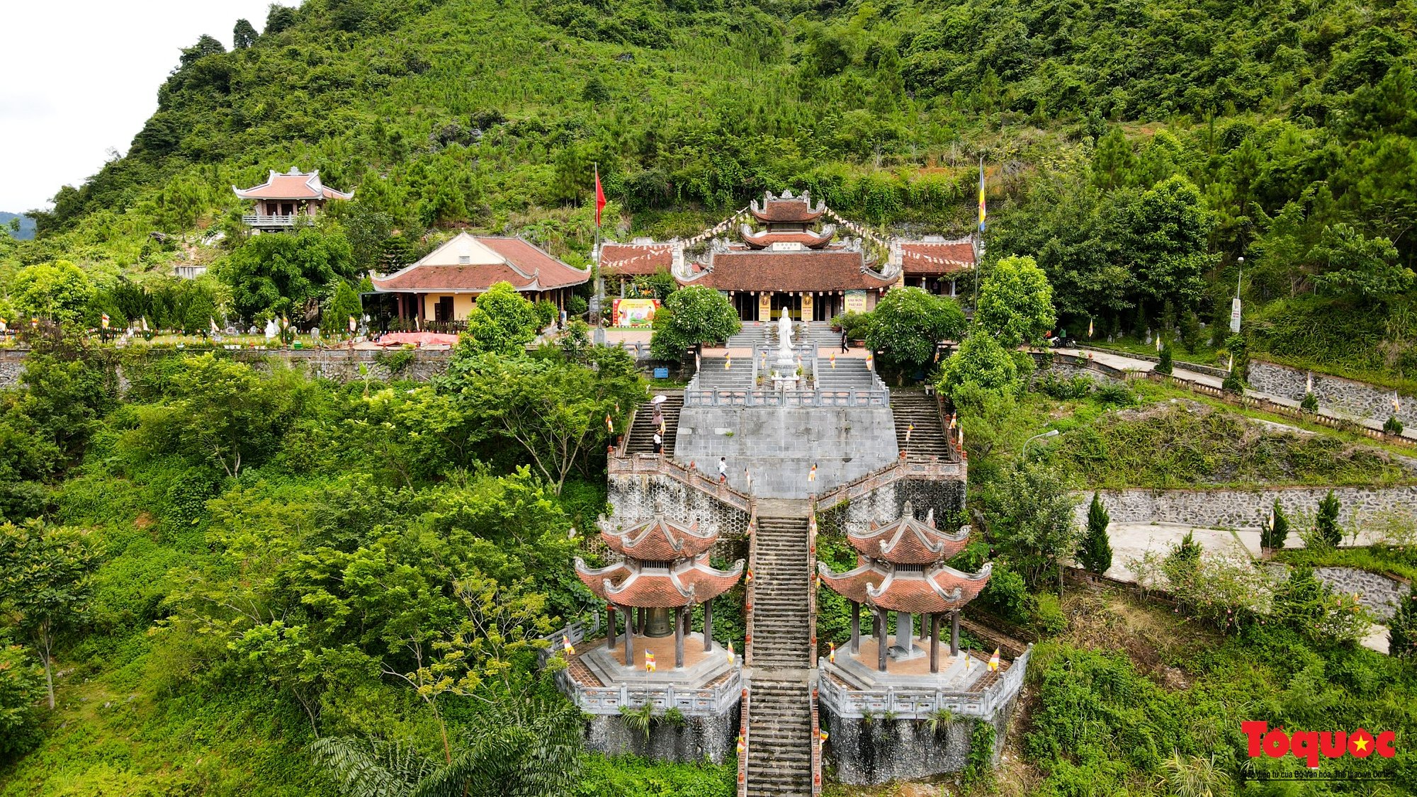
Besides the river system, another special feature is that Hanoi also owns a diverse system of ponds and lakes with about 115 inner-city lakes and 12 large lakes in the suburbs (over 5 hectares, not including ponds). In particular, some lakes have important cultural values shown in many history books and many poems and literary works such as West Lake, Hoan Kiem Lake, Truc Bach Lake...
Many cultural spaces are currently being paid attention to and exploited effectively, such as the West Lake cultural space, the Hoan Kiem Lake cultural space, etc. In addition, many lakes have important urban landscape values, with the function of regulating surface water sources, receiving and draining rainwater and wastewater for residential areas. Water from lakes is also used for agricultural production and aquaculture.
However, due to the impact of urbanization and population pressure, many rivers and lakes in Hanoi are gradually degraded and polluted. Some lakes have been reduced in area due to land encroachment and leveling for construction.
The situation of dumping waste and domestic wastewater directly into rivers and lakes causes serious pollution. Many lakes are silted up due to natural alluvial deposition and are not dredged periodically. The exploitation of water resources and economic development around lakes are not strictly planned.
River sections flowing through urban areas, concentrated residential areas and suburban production and business areas have degraded quality and are seriously polluted, especially the To Lich, Kim Nguu, Lu, Set, Nhue, and Day rivers....
Preserve and create unique spaces
Identifying the importance of Hanoi's rivers and lakes, the Capital Planning has emphasized this content in the breakthrough phase of urban, environmental and landscape with the idea of exploiting the typical landscape and environmental values of Hanoi to develop the Capital.
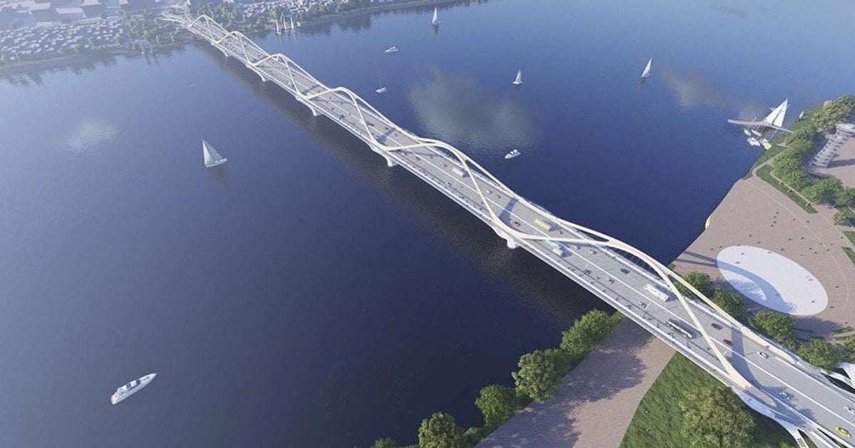
In particular, before 2030, it is determined to revive inner-city rivers, strictly protect lakes and water surface spaces; exploit the advantages of the landscape of the river and lake system to create a unique ecological space for the capital, especially the potential of West Lake, Red River, Duong River, and To Lich River. This is also determined to be the top priority urgent task when implementing the Capital Planning.
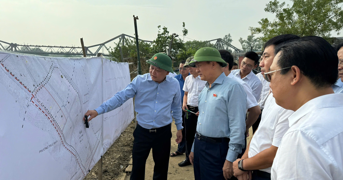
In particular, the contents of the Red River planning are of interest as Conclusion No. 80-KL/TW emphasized: “Research the plan to develop the Red River axis so that the Red River can truly be the development center of the Capital with a harmonious distribution of ecological spaces, cultural and historical spaces, green spaces, and modern urban spaces on both sides of the Red River, contributing to creating a new look for the capital of culture - civilization - modernity, with the goal that the Red River development space will be the "new development symbol" of the Capital. In addition, it is necessary to research, supplement the planning and decide on directional planning to effectively use the land fund on both sides of the Red River and Duong River for socio-economic development, especially for tourism and service development”.
The exploitation and promotion of the potential of Hanoi's river and lake system in the development of the capital continues to be expressed quite specifically in the contents of the development plans of sectors and fields, especially in the development of cultural and tourism industries. It can be mentioned as exploiting tourism corridors along rivers such as the Red River, To Lich River, etc.
Build new cultural, entertainment and sports parks associated with the landscape axis of the Red River, To Lich River, Nhue River and Tich River. Develop walking spaces in the Hoan Kiem Lake area, Hoan Kiem Old Quarter, West Lake area, Temple of Literature area and surrounding areas, Ngoc Khanh Lake area, Thien Quang Lake, Son Tay ancient citadel, along the cultural space axis of the Red River...
Forming a space for cultural and artistic exhibitions on both sides of the Red River; constructing public art works with cultural symbols of the Capital; arranging and creating highlights for the space of the gateway urban areas to the North of the Red River, the West and South of the City, the landscape axis of the Red River, Day River, To Lich River, etc.
Forming a number of new cultural works of the Capital and the whole country, with cultural symbols of regional and world stature, associated with squares and festival spaces on the West Lake - Co Loa, West Lake - Ba Vi axis and bridges across the Red River...
Another noteworthy point is that this Capital Planning has focused on developing the waterway transport system, which has been the main form of transport in Hanoi in history due to the advantage of its terrain with many rivers, but has been neglected and has not been effective in the past period.
Thereby, determining waterway transport, including freight transport and passenger services, especially tourists, is an important and unique form of transport in the capital.
Inter-regional waterway traffic routes contribute to expanding the development space of the Capital towards the sea; at the same time connecting the Red River Delta with the Northern Midlands and Mountains through the Red River, Duong River, Da River...; expanding and developing urban space, developing unique tourist routes not only through suburban rivers such as Ca Lo River, Thiep River... but also within the city such as To Lich River, Tich River
In addition, the Capital Planning has focused on planning the river and lake system to ensure water security, storage, regulation, and distribution of water resources for needs in a fair and reasonable manner. Exploiting, using economically and effectively, combined with protecting and sustainably developing water resources from the river and lake system to meet the water needs for socio-economic development; urban landscape; ensuring national defense, security, and environmental protection.
Research shows that exploiting the potential of the river and lake system will contribute to preserving and promoting the thousand-year-old cultural values through cultural spaces, the center of which is the river and lake system such as the Red River cultural space, West Lake, Hoan Kiem Lake, etc., contributing to creating space for urban economic development, landscape space, public space, especially green space. At the same time, the river and lake system will also contribute to completing the drainage system and preventing flooding for the urban areas of the capital.
Source: https://kinhtedothi.vn/phat-huy-tiem-nang-he-thong-song-ho.html
![[Photo] Prime Minister Pham Minh Chinh commends forces supporting Myanmar in overcoming earthquake consequences](https://vstatic.vietnam.vn/vietnam/resource/IMAGE/2025/4/10/e844656d18bd433f913182fbc2f35ec2)

![[Photo] Opening of the 11th Conference of the 13th Party Central Committee](https://vstatic.vietnam.vn/vietnam/resource/IMAGE/2025/4/10/f9e717b67de343d7b687cb419c0829a2)
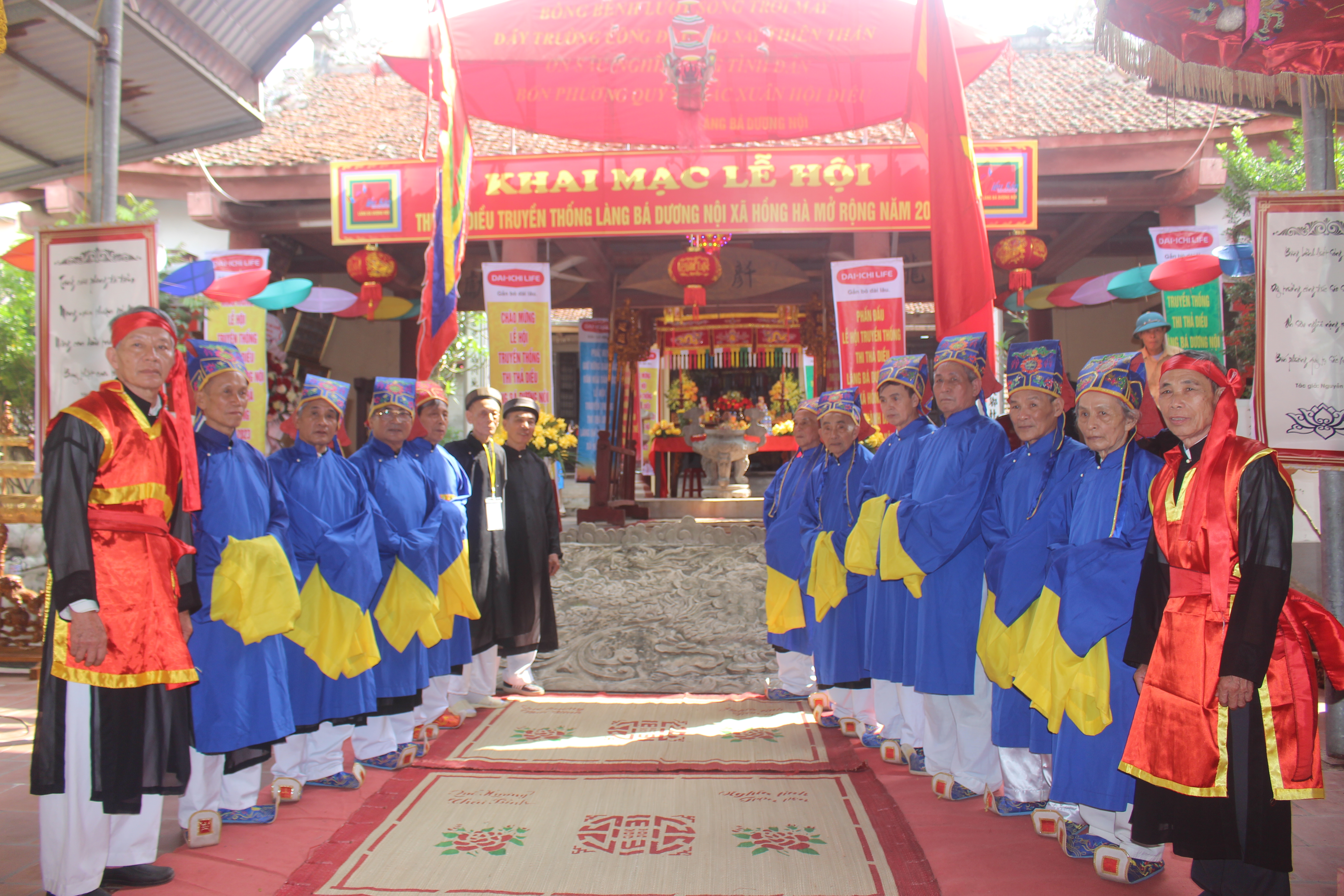
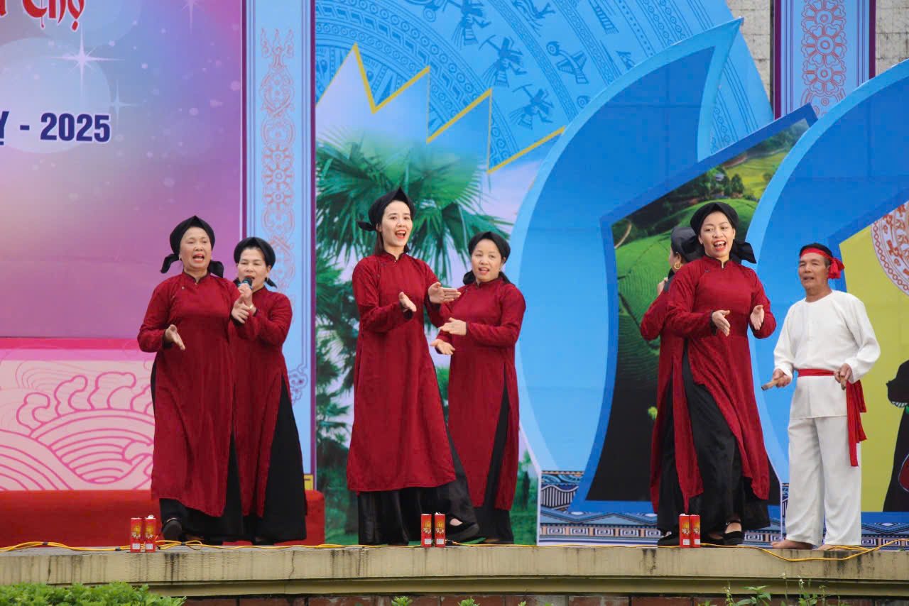
![[Photo] April Festival in Can Tho City](https://vstatic.vietnam.vn/vietnam/resource/IMAGE/2025/4/10/bf5ae82870e648fabfbcc93a25b481ea)


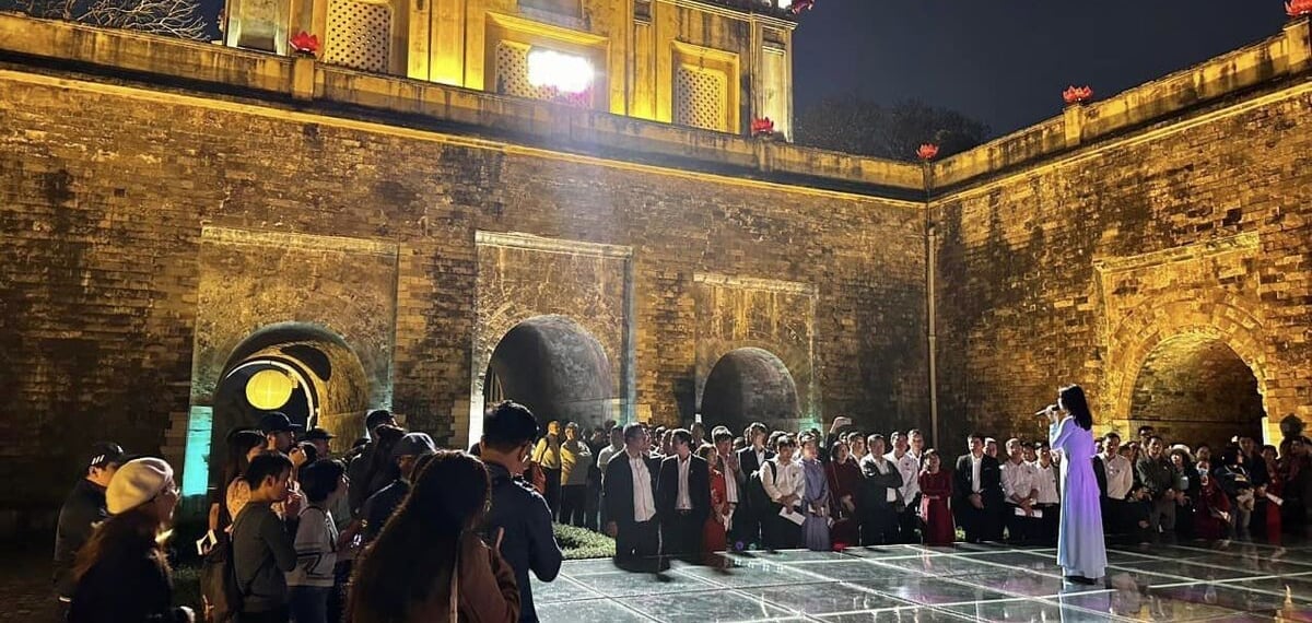

![[Photo] Reliving the heroic memories of the nation in the program "Hanoi - Will and belief in victory"](https://vstatic.vietnam.vn/vietnam/resource/IMAGE/2025/4/10/19ce7bfadf0a4a9d8e892f36f288e221)


Comment (0)