
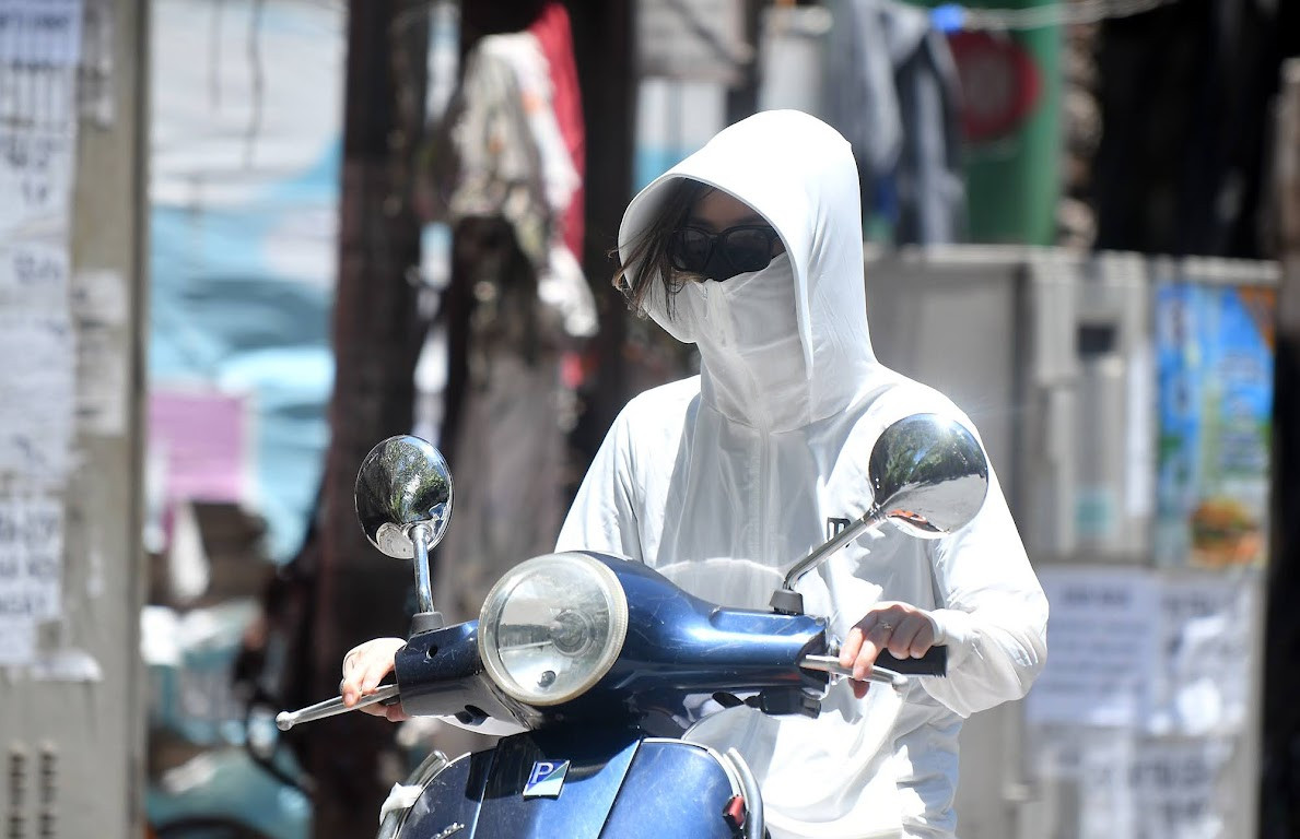
On June 30, speaking with VietNamNet reporter , Dr. Hoang Phuc Lam, Deputy Director of the National Center for Hydro-Meteorological Forecasting, said that the capital Hanoi has officially entered the next heat wave. The difference of this heat wave is the length of time it lasts.
Mr. Lam commented: "This is likely to be the longest heat wave since the beginning of the year in the capital Hanoi. But it must also be said that this will not be a very severe heat wave when the highest temperature of the whole period is only 37-38 degrees Celsius. However, at night it will be hot with the lowest temperature at night still high, 29-30 degrees."
Specifically, Hanoi weather in the next 3 days (June 30 - July 2), from 7am to 7pm, there will be few clouds, hot and sunny, almost no rain. South wind level 2-3. Highest temperature: 35-37 degrees.
From night to early morning (around 7pm-7am), it will be cloudy, no rain. South wind level 2-3. Lowest temperature: 29-32 degrees. Average humidity: 60-70%. Chance of rain: 10-20%.
In addition, in the North in general, the coming days will be hot, some places will be extremely hot with the highest temperature of 35-37 degrees, some places will be over 37 degrees; the lowest relative humidity is 55-65%.
The area from Thanh Hoa to Phu Yen is hotter and more intense with the highest temperature of 36-38 degrees, some places over 38 degrees; the lowest relative humidity is 45-60%.
According to the National Center for Hydro-Meteorological Forecasting, in the North from July 1-7, although it will be hot, there will still be the possibility of scattered showers and thunderstorms, with some areas having moderate to heavy rain. The Central region will also have showers and thunderstorms in some places in the late afternoon and at night.
In addition, other areas will have scattered showers and thunderstorms. In the Central Highlands and the South, there will be scattered showers and thunderstorms in the late afternoon and evening, with some areas experiencing moderate to heavy rain from June 30 to July 3. Thunderstorms may include tornadoes, lightning, hail and strong gusts of wind.
Previously, in the center's monthly bulletin, it was forecasted that heat waves are likely to increase again in the North and Central regions during the days of July.
The average temperature during the period of June 21-July 20 in regions across the country is generally 0.5-1 degree higher, with the North and Central Central regions being 1-1.5 degrees higher than the average of many years.
Rainfall during the period in the Northern and North Central regions is generally 10-30% higher than the average; in the Northwest, South Central, Central Highlands, and South, it is 5-10% higher; in the Central Central region, it is 5-15% lower.
Also during this period, there is a possibility of storms/tropical depressions appearing in the East Sea and affecting the Northern and Central regions.
Source
![[Photo] Prime Minister Pham Minh Chinh receives Mr. Jefferey Perlman, CEO of Warburg Pincus Group (USA)](https://vstatic.vietnam.vn/vietnam/resource/IMAGE/2025/4/18/c37781eeb50342f09d8fe6841db2426c)
![[UPDATE] April 30th parade rehearsal on Le Duan street in front of Independence Palace](https://vstatic.vietnam.vn/vietnam/resource/IMAGE/2025/4/18/8f2604c6bc5648d4b918bd6867d08396)


Comment (0)