
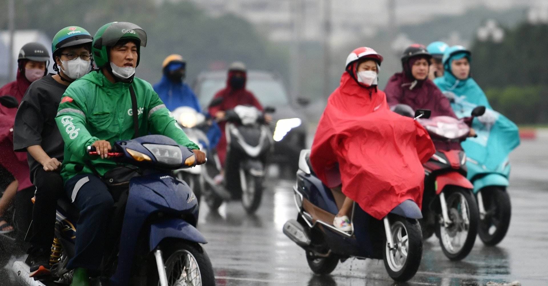
Cold air will flow into the North from this evening (November 17), then diffuse strongly to the South. This could be the strongest impact of cold air on the weather in the South and Ho Chi Minh City since the beginning of the season.
The Southern Hydrometeorological Station has just announced that in the next 1-2 days, cold air will strengthen in the North and North Central regions. Northeast winds will gradually increase in intensity to medium level. Above, subtropical high pressure with an axis over the North will operate stably.
From the next 3-7 days, the cold air will continue to strengthen further south. Around November 20-21, this strengthening of cold air will begin to affect the weather in the South and Ho Chi Minh City.
"This is likely to be the strongest impact of cold air on the weather in the South and Ho Chi Minh City since the beginning of the northeast monsoon season," said the Southern Meteorological Station.
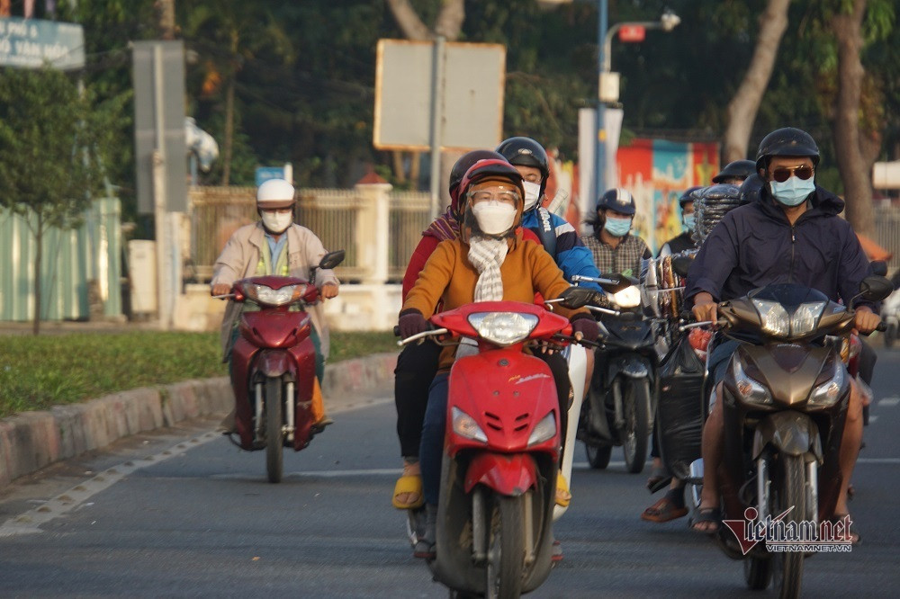
This meteorological station also forecasts that from November 20-24, the lowest temperature in Ho Chi Minh City will drop to 23-24 degrees, the highest to 31-32 degrees, the weather will turn cool after many sunny days up to 34 degrees.
Regarding the general trend, Mr. Nguyen Van Huong, Head of Weather Forecast Department, National Center for Hydro-Meteorological Forecasting, said that currently (November 17), the cold air mass is moving south.
It is forecasted that this afternoon and tonight, this cold air will affect the Northeast; then the North Central, some places in the Northwest and the Central Central. The Northeast wind inland will strengthen to level 3, coastal areas level 4.
According to Mr. Huong, due to the influence of cold air, from tomorrow (November 18), the weather in the Northeast and Thanh Hoa will turn cold at night and early morning; from November 20, the weather in the North and North Central regions will be cold at night and early morning. The lowest temperature during this cold air in the North and North Central regions will generally be from 18-20 degrees, in mountainous areas it will be below 15 degrees.
At the same time, Mr. Huong noted that due to the influence of disturbances in the upper East wind zone combined with cold air, from November 18-19, in the North and Central Central regions, there will be scattered showers and thunderstorms, with some places having heavy rain. During thunderstorms, there is a possibility of tornadoes, lightning and strong gusts of wind.
At sea from November 18, in the Gulf of Tonkin, the Northeast wind will gradually increase to level 6, gusting to level 7-8; rough seas; waves 2-4m high. In the North East Sea, the Northeast wind will increase to level 6-7, gusting to level 8-9; rough seas; waves 3-5m high.
The meteorological agency warns that thunderstorms accompanied by tornadoes, lightning and strong gusts of wind can affect agricultural production, cause trees to fall, damage houses, traffic works and infrastructure.
Localized heavy rains can cause flooding in low-lying areas; flash floods in small rivers and streams, and landslides on steep slopes.
Strong winds and large waves at sea are likely to affect boating and other activities.
Super typhoon Man-yi heads towards the East Sea, likely to encounter a 'wall' of cold air
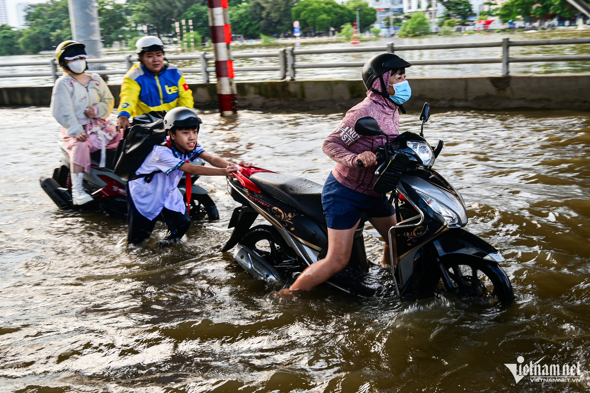
High tide exceeds alert level 3, HCMC at risk of deep flooding in many places
Source: https://vietnamnet.vn/dot-khong-khi-lanh-moi-anh-huong-thoi-tiet-tphcm-manh-nhat-tu-dau-mua-2342747.html
![[Photo] Ministry of Defense sees off relief forces to the airport to Myanmar for mission](https://vstatic.vietnam.vn/vietnam/resource/IMAGE/2025/3/30/245629fab9d644fd909ecd67f1749123)


![[Photo] Prime Minister Pham Minh Chinh chairs meeting to remove difficulties for projects](https://vstatic.vietnam.vn/vietnam/resource/IMAGE/2025/3/30/7d354a396d4e4699adc2ccc0d44fbd4f)


![[REVIEW OCOP] An Lanh Huong Vet Yen Cat](https://vstatic.vietnam.vn/vietnam/resource/IMAGE/2025/3/27/c25032328e9a47be9991d5be7c0cad8c)


Comment (0)