
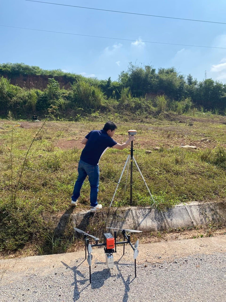
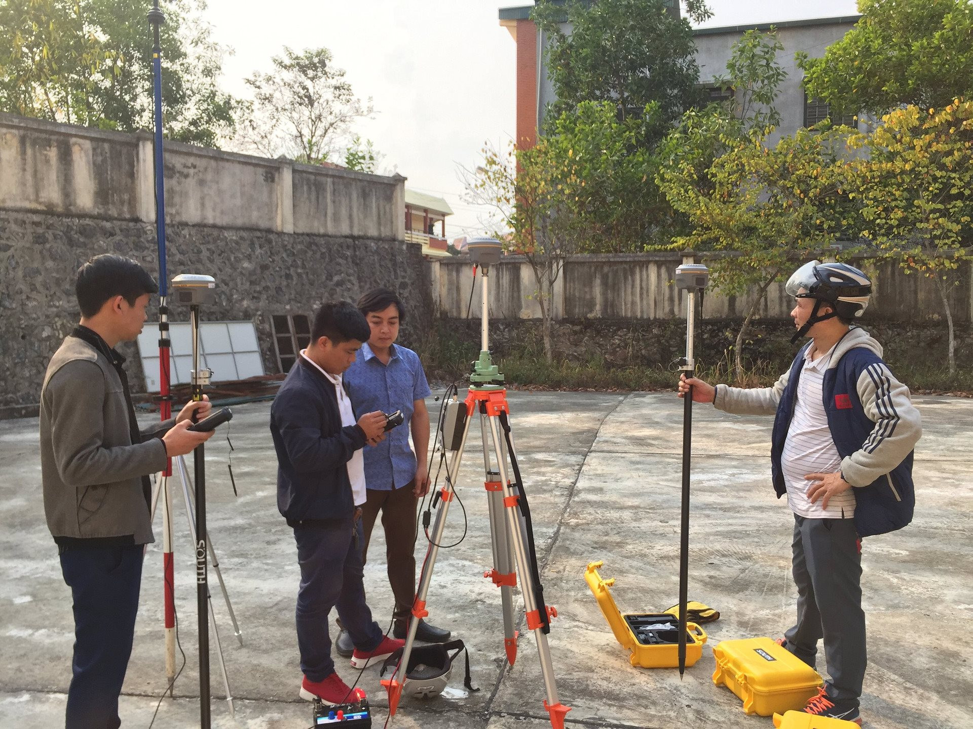
Land surveying and mapping are important bases for registration, land records and issuance of land use right certificates (LURCs), effectively serving the State management of land at all levels. Recognizing that important role, in recent years, surveying and mapping work in Dien Bien province has continued to be promoted, and surveying and mapping activities have gradually entered a routine to ensure quality .
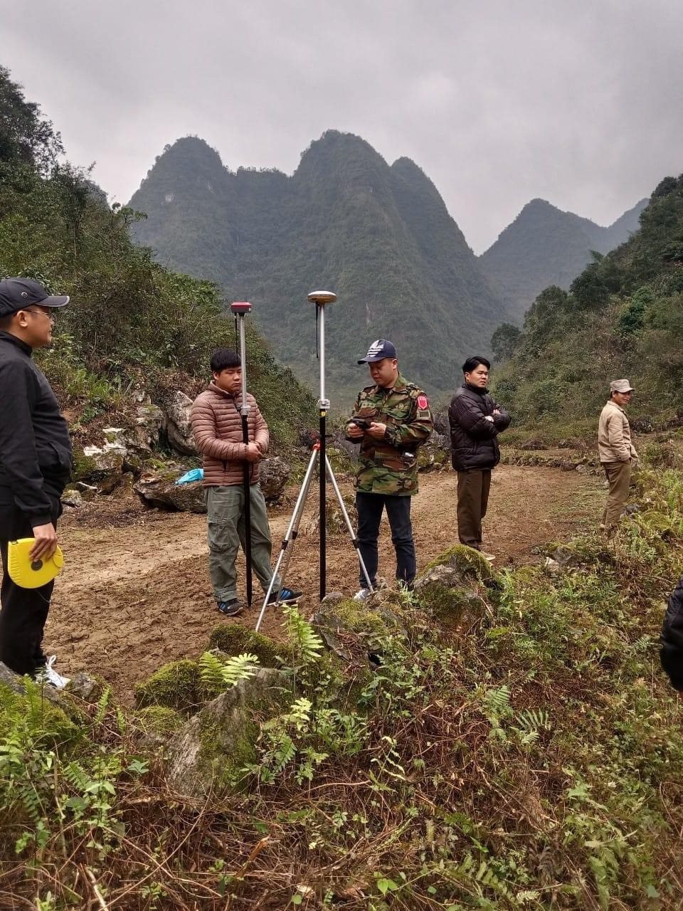
Mr. Lo Van Hiep, Deputy Head of the Department of Land Planning and Surveying, said: Surveying and mapping plays a very important role in the socio-economic development of Dien Bien province. In order to have accurate map documents to serve the purpose of land management and exploitation, it is necessary to conduct regular cadastral surveying and mapping throughout the province. In the field of surveying and mapping, there have been many positive steps forward, State management has been strengthened, surveying and mapping activities have become routine; the results of the surveying work have contributed to accelerating land allocation and granting of land use right certificates; effectively supporting the work of site clearance and economic and technical sectors of Dien Bien province.
During the past year, the Department of Staff of the Provincial People's Committee reported on surveying and mapping activities in Dien Bien province. Appraisal of 17 technical design documents - surveying and mapping estimates, establishment of cadastral records for compensation, support, resettlement (Site clearance); issuance of certificates of land use rights, house ownership rights and other assets attached to land of works and projects in Dien Bien province.
Along with that, 24 survey and mapping products with a total area of 1,390.0 hectares were approved, including: Surveying and mapping projects, establishing cadastral records to serve land allocation, land lease, land recovery, compensation, support and resettlement are 20 projects, works with a total survey area of 249.50 hectares. Surveying and mapping cadastral records, establishing cadastral records to serve the project of reviewing and completing land allocation, forest allocation, and granting certificates of forest land use rights for the period 2019-2023 in Sin Chai commune, Tua Chua district and Cha Cang, Cha To, and Nam Khan communes of Nam Po district, Dien Bien province with a total survey area of 1,140.50 hectares.
In the coming time, in order to further strengthen the State management of surveying and mapping activities. The Department of Natural Resources and Environment will appraise technical design documents - surveying and mapping estimates, and establish cadastral records in the province. Continue to appraise cadastral surveying and mapping products, establish cadastral records to serve the work of compensation, support and resettlement for construction and socio-economic development of projects in the province; urge the People's Committees of districts, towns, cities and investors to complete the surveying and establishing cadastral records for macadamia planting projects and land and forest allocation projects and grant land use right certificates according to regulations.
Develop "Regulations on some contents of surveying and mapping activities in the province" and submit them to the Provincial People's Committee for promulgation according to regulations. Strengthen the direction, inspection and supervision of updating and adjusting land changes, promote the effectiveness of cadastral records and land databases, and effectively carry out annual land statistics and land inventories to firmly grasp land funds to serve the planning of socio-economic development strategies.
Source


Comment (0)