
Recently, the Prime Minister issued Decision No. 82/QD-TTg approving the Master Plan for Chu Urban Area, Bac Giang Province to 2045.
 |
| By 2024, Chu urban area is expected to meet the conditions to become a town. |
This Decision determines the construction and development of Chu urban area in a synchronous and sustainable direction, becoming one of the centers leading the development of the northeastern sub-region of Bac Giang province; by 2024, it will be eligible to establish a town; after 2030, it will meet the criteria of a type III urban area and ensure the conditions for development into a city under the province of Bac Giang.
Strive to be qualified to become a town by 2024
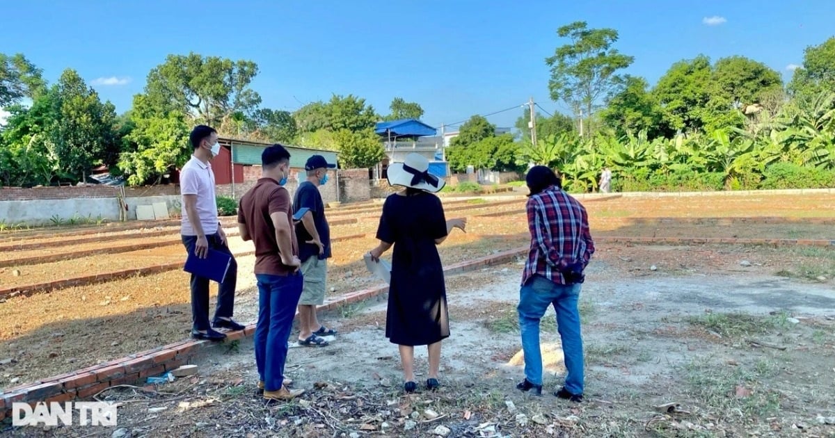
Accordingly, the planning scope and boundaries include 10 communes and towns: Chu Town and the communes: My An, Nam Duong, Quy Son, Phuong Son, Tru Huu, Kien Thanh, Kien Lao, Hong Giang, Thanh Hai (excluding Khuon Reo village), Luc Ngan district. The planning area is about 25,155 hectares. The short-term planning period is until 2030; the long-term period is until 2045.
The planning objective is to concretize the strategic orientations of the Bac Giang Provincial Planning for the period 2021 - 2030, with a vision to 2050 and related specialized planning to build and develop Chu urban area in a synchronous and sustainable direction, becoming one of the centers leading the development of the northeastern sub-region of Bac Giang province. By 2024, it will be eligible to establish a town; after 2030, it will meet the criteria for a type III urban area and ensure the conditions for development into a city under Bac Giang province.
Determine the territorial space and number of administrative units to ensure sufficient conditions for arranging the current administrative units of Luc Ngan district to establish Chu town and new Luc Ngan district on the basis of determining the urban development space associated with long-term stable socio-economic development.
By 2030, basically complete the arrangement of district and commune-level administrative units in Bac Giang province in accordance with the Master Plan of administrative units according to Resolution No. 37-NQ/TW dated December 24, 2018 of the Politburo on the arrangement of district and commune-level administrative units. Serve as a basis for establishing zoning plans, commune master plans, detailed plans and urban development management, investment in construction and completion of urban infrastructure systems according to the plan.

Become the central urban area of the Eastern region and a key area for agricultural commodity production.
In terms of nature, Chu urban area is the central urban area of the Eastern region and is a key area for agricultural commodity production, high-quality specialty fruit production, and a hub for supplying agricultural and forestry services and materials of Bac Giang province. At the same time, it is an urban area for developing cultural, ecological, and resort tourism and is a center for logistics, industrial warehousing, and export services in the Eastern region of Bac Giang province.
Regarding the planned population, by 2030, the urban population will be about 150,000 people, of which the inner city will be about 130,640 people, accounting for about 87.1% of the total population. By 2045, the urban population will be about 240,000 people, of which the inner city will be about 210,495 people, accounting for about 87.6% of the total population.Regarding land planning, by 2030, the urban construction land area will be about 2,650 hectares; the civil land area will be about 1,282 hectares, reaching an average of about 98 m²/person. By 2045, the urban construction land area will be about 3,600 hectares; the civil land area will be about 1,950 hectares, reaching an average of about 93 m²/person.
Chu develops according to the urban model associated with high-quality agricultural production areas and tourism, with a multi-polar - multi-center structure associated with the natural terrain; including 1 central pole (Chu town is the central pole) and 4 development poles (Western service and industrial urban pole; Northern tourism urban pole; Southern service, tourism and craft village urban pole; Eastern commercial and service urban pole) according to their own characteristics. The poles are linked together by main and external traffic axes, have open spaces and are encouraged to bring green space to functional areas, and are able to adapt to agricultural production areas with infrastructure belts.
The urban area has many different centers associated with regions and development poles; some are independent or interdependent, linked together by a public transport system. The central urban area is associated with the natural ecological region including the northern mountainous region (Kien Lao commune, Kien Thanh commune) and the southern region of Luc Nam river, which are developed into urban and regional tourism, service, and forestry centers.
Regarding land use planning, the natural urban land area of Chu is 25,155 ha. By 2030, civil land will be about 1,282 ha, accounting for 5.09% of the total planning area; land outside the civil area will be about 2,646 ha; accounting for 10.52% of the total planning area; agricultural land and other functions will be about 21,227 ha, accounting for 84.39% of the total planning area. By 2045, civil land will be about 1,950 ha, accounting for 7.75% of the total planning area; land outside the civil area will be about 2,631 ha, accounting for 10.46% of the total planning area; agricultural land and other functions will be 20,574 ha, accounting for 81.77% of the total planning area.
Priority investment programs include: Completing a synchronous system of management tools for urban planning and development, including zoning planning, detailed planning, architectural management regulations; urban development program; administrative unit arrangement project; town establishment project; implementing investment projects to develop technical infrastructure and social infrastructure framework as a premise for urban development towards type IV urban areas by 2024 and type III by 2045.
Prioritize projects with strengths, driving forces, and potential for local economic development such as: Khuon Than urban area, eco-tourism and sports in Kien Lao commune; Chu noodle craft village in Nam Duong commune; industrial clusters, R&D research zones; logistics services, urban areas, regional trade services, and tourism services...
Source link
![[Photo] General Secretary To Lam receives King Philippe of Belgium](https://vstatic.vietnam.vn/vietnam/resource/IMAGE/2025/4/1/e5963137a0c9428dabb93bdb34b86d7c)


![[Photo] Prime Minister Pham Minh Chinh meets with King Philippe of Belgium](https://vstatic.vietnam.vn/vietnam/resource/IMAGE/2025/4/1/be2f9ad3b17843b9b8f8dee6f2d227e7)
![[Photo] Close-up of Vietnam's sniffer dog team searching for earthquake victims in Myanmar](https://vstatic.vietnam.vn/vietnam/resource/IMAGE/2025/4/1/d4949a0510ba40af93a15359b5450df2)
![[Photo] President Luong Cuong and King Philippe of Belgium visit Thang Long Imperial Citadel](https://vstatic.vietnam.vn/vietnam/resource/IMAGE/2025/4/1/cb080a6652f84a1291edc3d2ee50f631)


![[Photo] Myanmar's capital in disarray after the great earthquake](https://vstatic.vietnam.vn/vietnam/resource/IMAGE/2025/4/1/7719e43b61ba40f3ac17f5c3c1f03720)


Comment (0)