
GHGSat said the satellite, called Vanguard, was launched from Vandenberg Space Force Base in California. The new technology is increasingly being used to hold polluting industries accountable for the damage they do to climate change. GHGSat data is available for sale to industrial emitters who want to reduce their emissions, as well as to countries and scientific organizations.
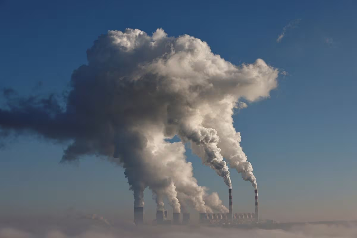
Smoke and steam billow from the Belchatow Power Plant in Zlobnica, Poland. Photo: Reuters
Vanguard will build a network of satellites to detect plumes of methane, an invisible greenhouse gas that is difficult to detect because it tends to leak from a variety of small sources including pipelines, drilling sites and farms.
Carbon dioxide accounts for nearly 80% of U.S. greenhouse gas emissions, from human activities and large industrial sources like power plants. GHGSat said satellites that track atmospheric carbon dioxide don’t currently focus on emissions at the facility level.
“Usually what we find is a combination of measurements and estimates, so measuring the entire facility directly from the satellite would serve as confirmation,” Stephane Germain, CEO of Montreal-based GHGSat, said in an interview.
Satellites have shown that methane emissions are generally higher than estimated, and Germain said he suspects the same is true for carbon dioxide.
GHGSat said the information would help improve the accuracy of emissions inventories by governments and scientific organizations, and would improve the quality of corporate greenhouse gas reporting to investors.
Mai Anh (according to Reuters)
Source


Comment (0)