
TPO - On the morning of February 15, many places in Ho Chi Minh City had fog and light showers. The concentration of fine dust in the air exceeded the permissible level many times.
TPO - On the morning of February 15, many places in Ho Chi Minh City had fog and light showers. The concentration of fine dust in the air exceeded the permissible level many times.
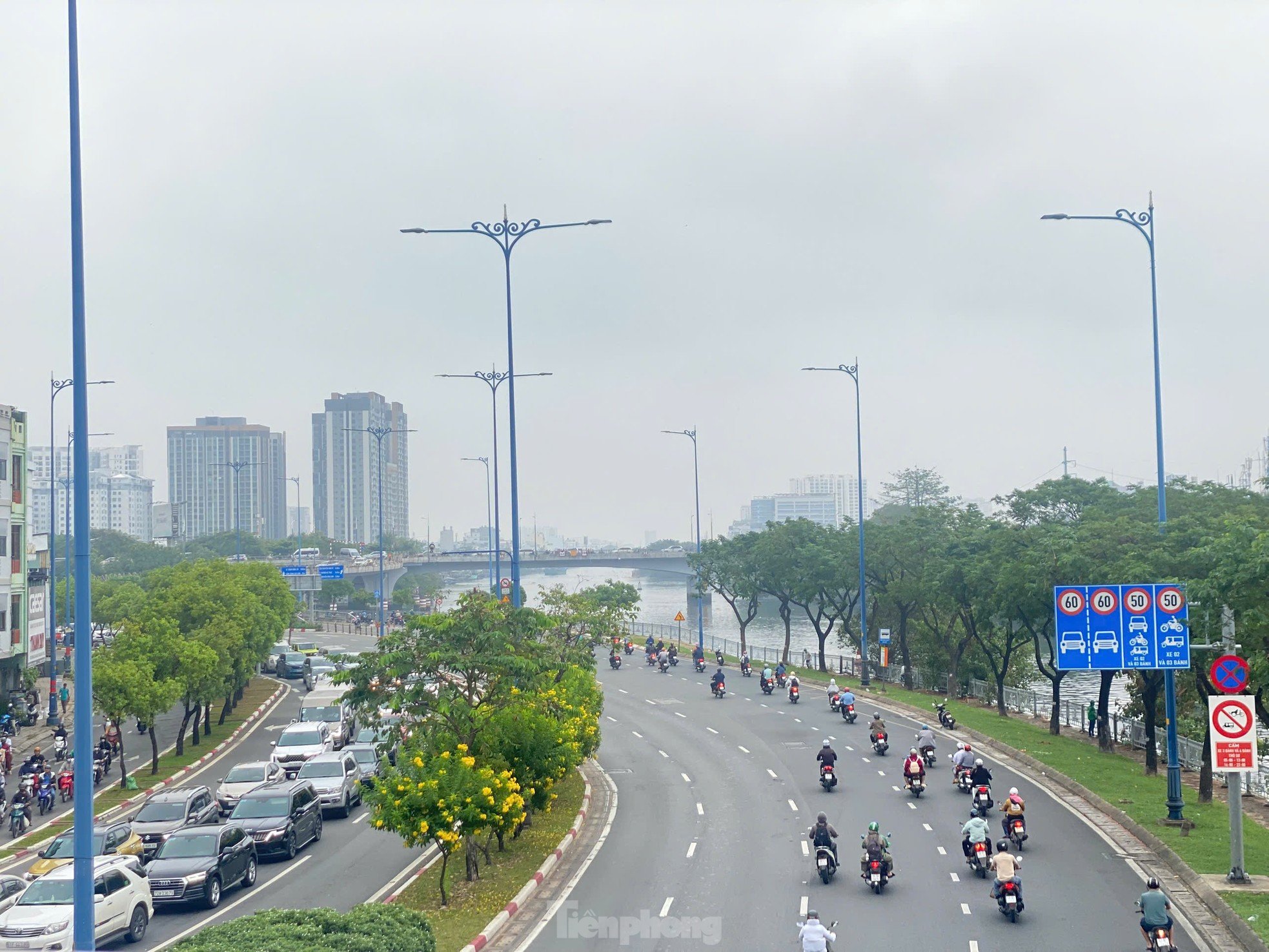
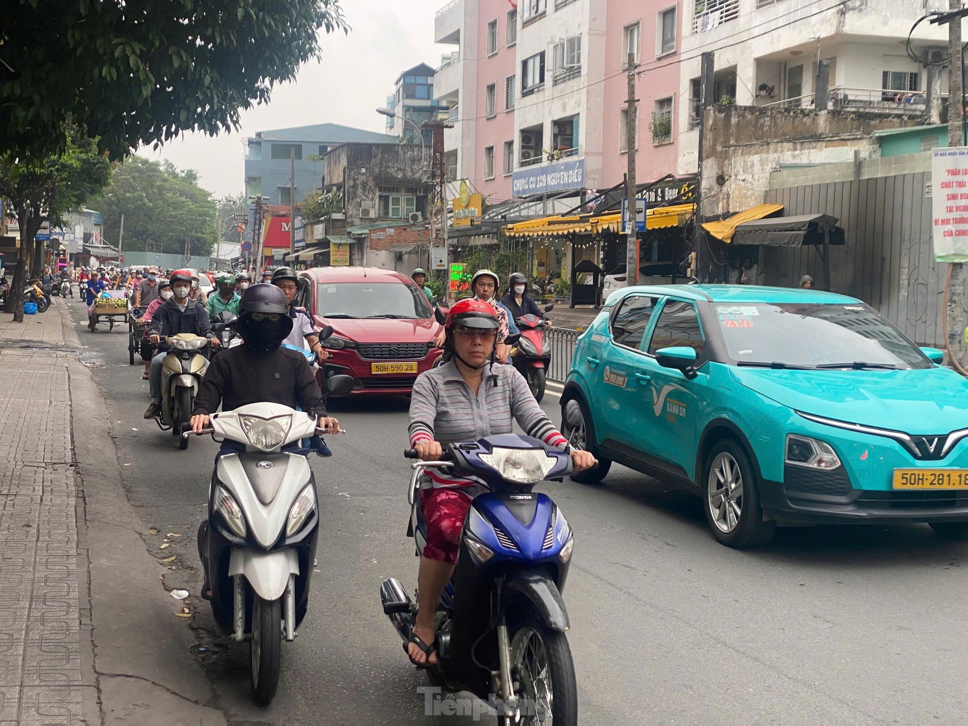
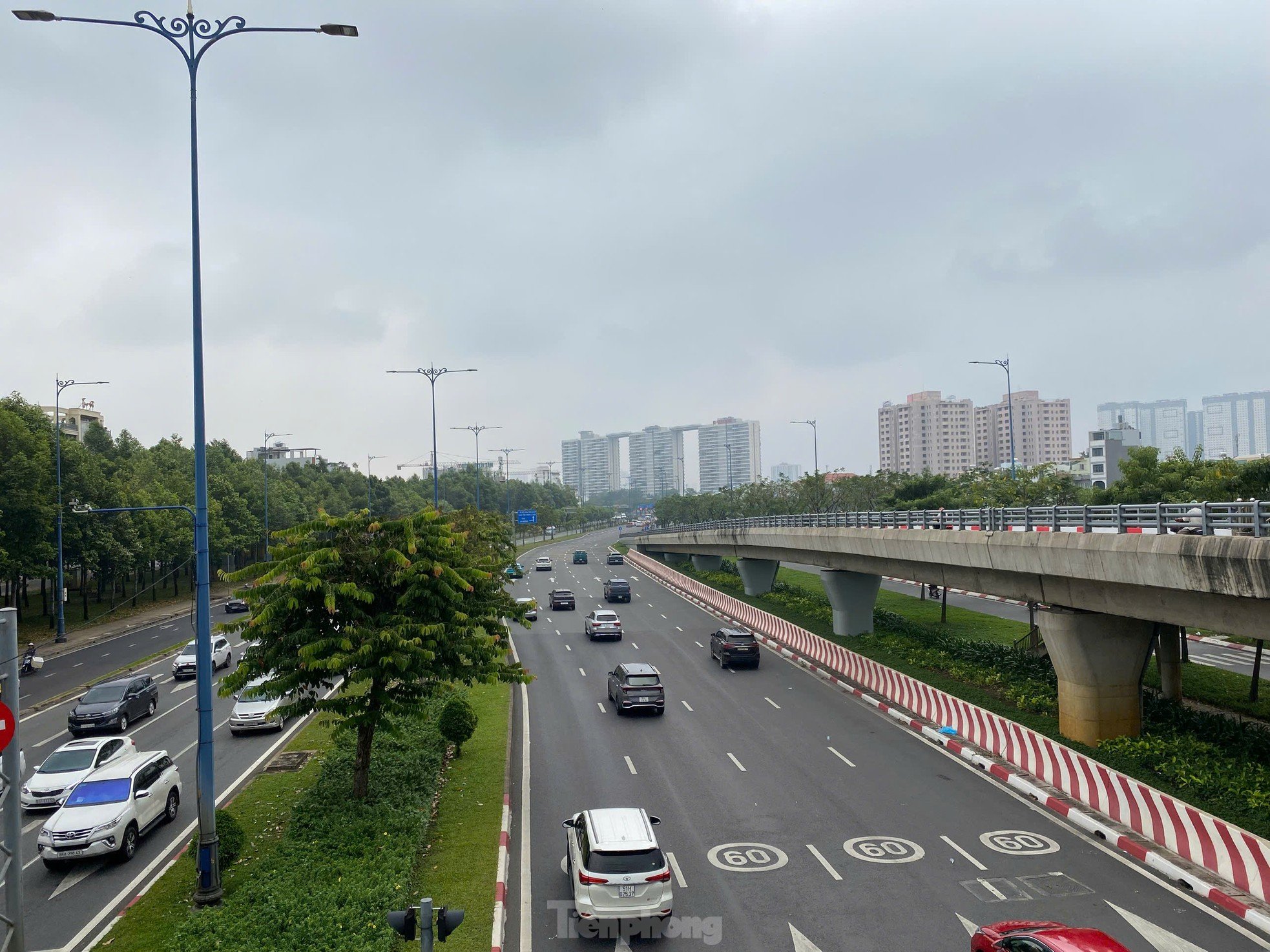
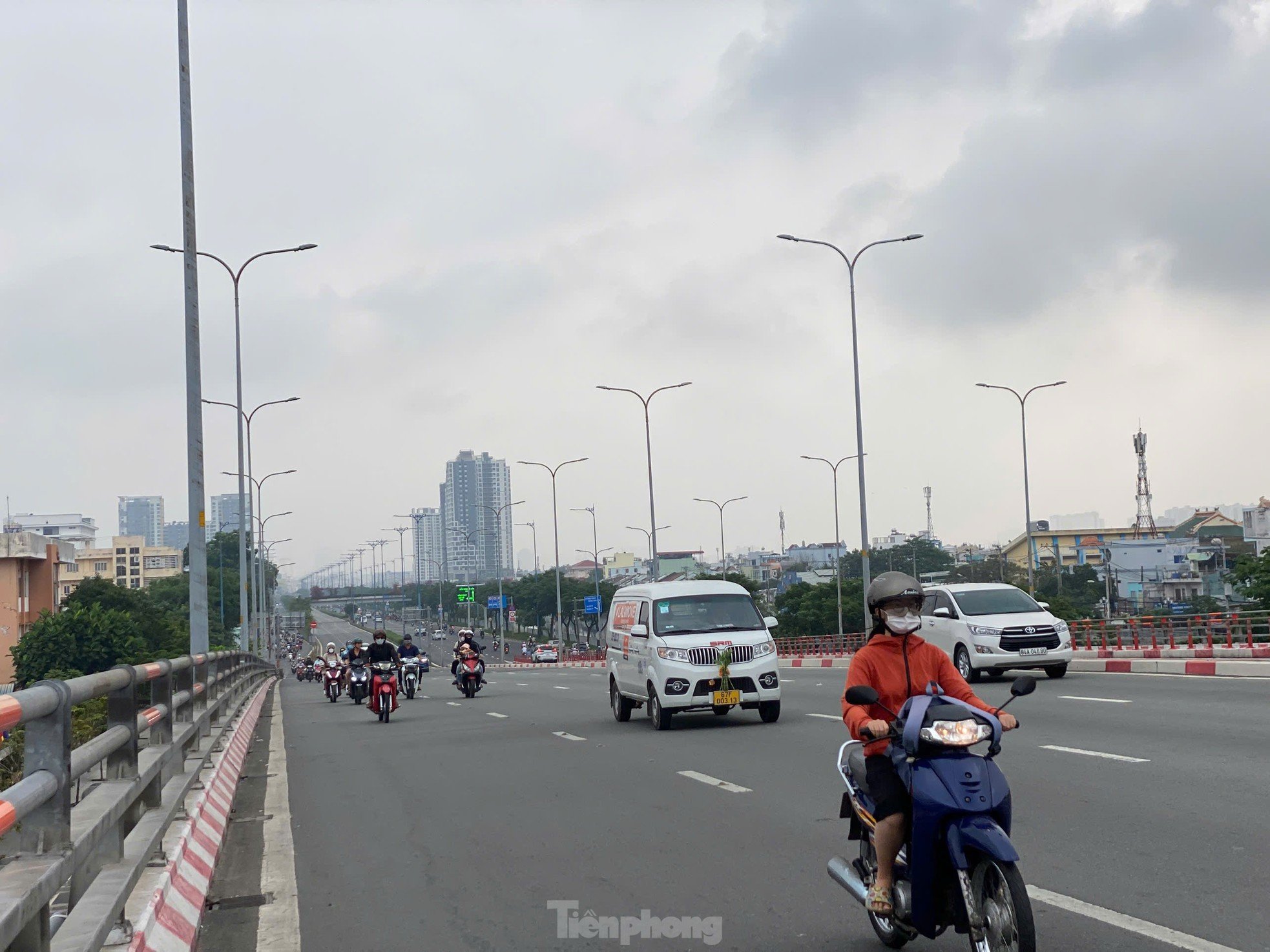
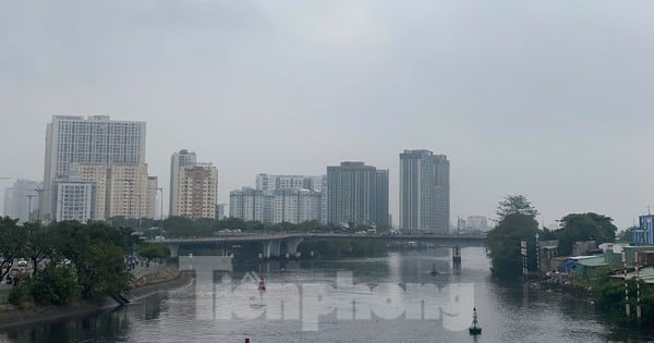
According to the reporter's records, on the morning of February 15, the sky in Ho Chi Minh City was cloudy, with weak sunlight, fog and light showers in many places. Many people on the street had to wear masks and glasses because they were afraid of pollution caused by fine dust.
According to the air monitoring application Air Visual (belonging to IQAir, which owns a large amount of aggregated data on air quality and is headquartered in Switzerland), since the morning of February 15, many areas in Ho Chi Minh City have had air quality measurement points that are not good for health.
 |
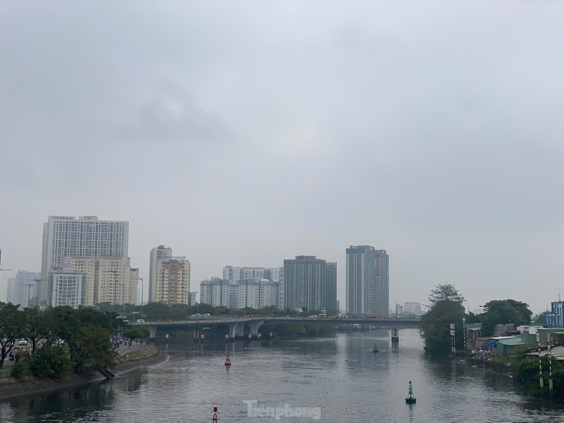
Since early morning of February 15, fog has appeared in many places in Ho Chi Minh City. Photo taken on Vo Van Kiet Street, District 5. |
Specifically, according to the Air Visual application, the concentration of PM 2.5 fine dust (PM2.5 fine dust is particulate matter floating in the air with a diameter of 2.5 micrometers or smaller) in Ho Chi Minh City at 9:30 a.m. on February 15 was 52.6 µg/m³ (the allowable level is about 5 µg/m³).
 |
Dense fog in Ho Chi Minh City on the morning of February 15. Image recorded at Tau Hu canal area (District 5). |
 |
Drizzling rain, people stopped their vehicles and put on raincoats on Pham Hung Street, District 8. |
 |
| Many areas in Ho Chi Minh City have no sunshine, cloudy weather on weekend mornings. |
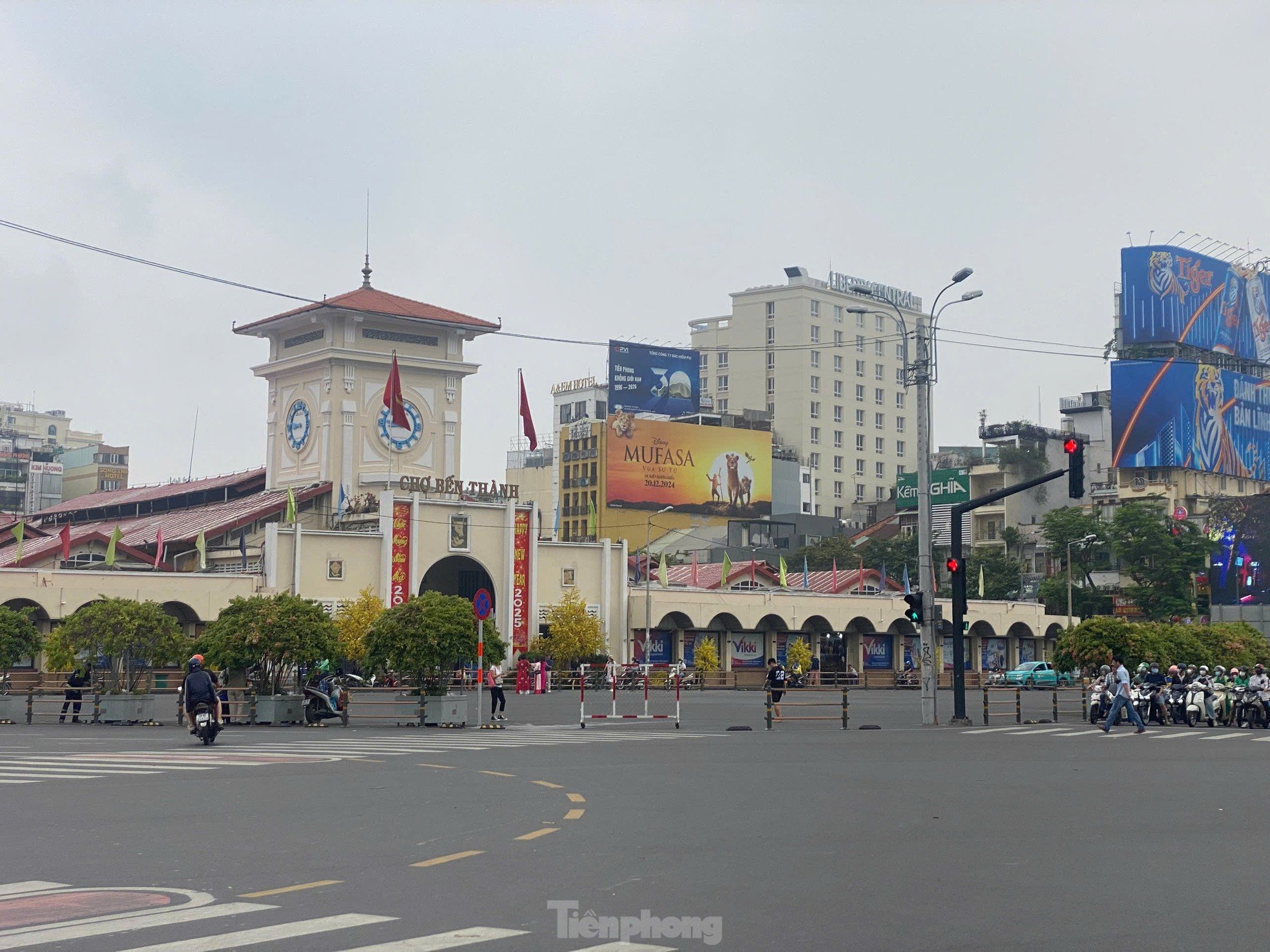 |
Ben Thanh market area on the morning of February 15. |
 |
Air Visual said that the concentration of fine dust PM 2.5 in Ho Chi Minh City is currently 10.5 times higher than the value according to WHO's annual air quality guidelines. |
The Southern Hydrometeorological Station said that the continental cold high pressure (cold air) is currently weakening slowly, and from February 16th it will strengthen again in the North. The equatorial low pressure trough in the south connecting with the tropical low pressure in the sea area off the South Central Coast is weakening and gradually dissipating. Above, the subtropical high pressure across the Central Coast is operating stably.
In the next 10 days, the cold air will weaken slowly, from February 20 it will strengthen again in the North. Above, the subtropical high pressure across the Central region will operate stably, from February 19 it will weaken and gradually retreat to the East.
 |
The National Center for Hydro-Meteorological Forecasting forecasts that the weather in the Southern provinces and cities (including Ho Chi Minh City) today, February 15, will be cloudy, sunny during the day, with scattered showers and thunderstorms at night. The lowest temperature will be from 23-26 degrees Celsius, the highest from 29-32 degrees Celsius, with some places above 32 degrees Celsius. |
Based on the above main weather patterns, the Southern Hydrometeorological Station forecasts that the weather in Ho Chi Minh City in the coming days will continue to be cool and somewhat chilly at night and early morning. From February 19-23, the Ho Chi Minh City area is likely to have unseasonal rain with a probability of about 60%.


Source: https://tienphong.vn/tphcm-may-mu-giang-kin-mua-lat-phat-post1717285.tpo


Comment (0)