
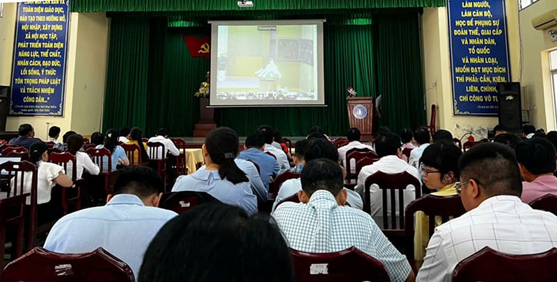
This portal provides an important resource of digital maps integrated from departments, agencies, districts and towns in Ho Chi Minh City. Previously, on October 25, the Department of Information and Communications organized a training session on the use, exploitation, integration and sharing of the Ho Chi Minh City Digital Map System database for officials of Departments, Agencies and Sectors in the area.
At the meeting, the representative of the design unit said that Ho Chi Minh City Digital Map is a digital map platform for the entire city, replacing applications using maps such as Openstreet Map, Google Maps. The system provides a diverse collection of base maps, from administrative maps, traffic, terrain, satellite, square (3D). Users will easily access and explore information about addresses, traffic routes, education, health, environment, administration and many other fields in the city.
On the Digital Map, data is regularly updated from official information sources, integrated from departments, branches, districts and counties in the area. From there, users can also share information about locations with others via social networking platforms such as Facebook, Zalo, Twitter, Mail, Telegram...

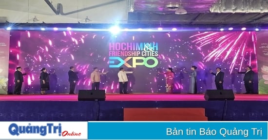
Ho Chi Minh City digital map displays many useful utilities
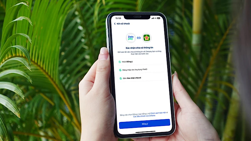
Users can now access the Digital Map at https://bando.tphcm.gov.vn/gis-portal or download the "HCM City Digital Map" application on their smartphones. The map system does not require a login to use.
According to Deputy Director of the Department of Information and Communications Vo Thi Trung Trinh, Ho Chi Minh City is striving to build and develop a shared data warehouse for agencies and units. People can exploit published and shared data. Digital maps also provide real-time traffic information, helping to guide people to avoid traffic jams and adjust travel schedules with the latest and most accurate information.
Source link

![[Photo] Opening of the 44th session of the National Assembly Standing Committee](https://vstatic.vietnam.vn/vietnam/resource/IMAGE/2025/4/14/03a1687d4f584352a4b7aa6aa0f73792)
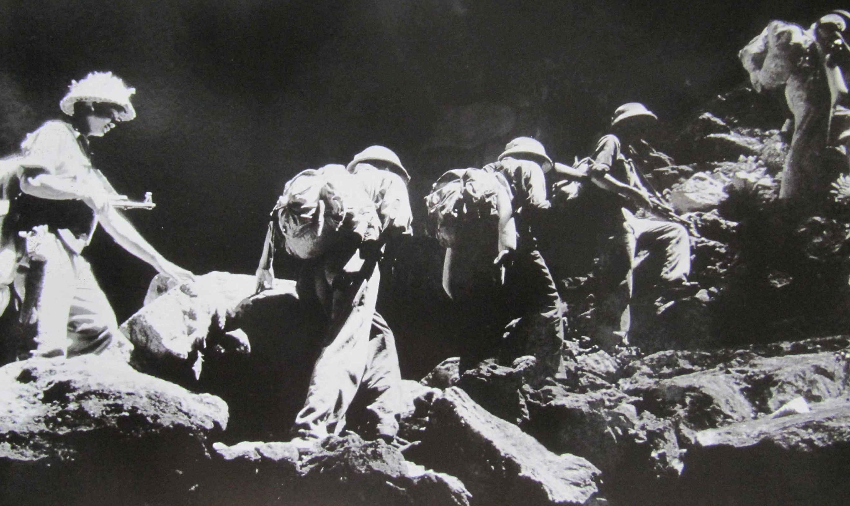
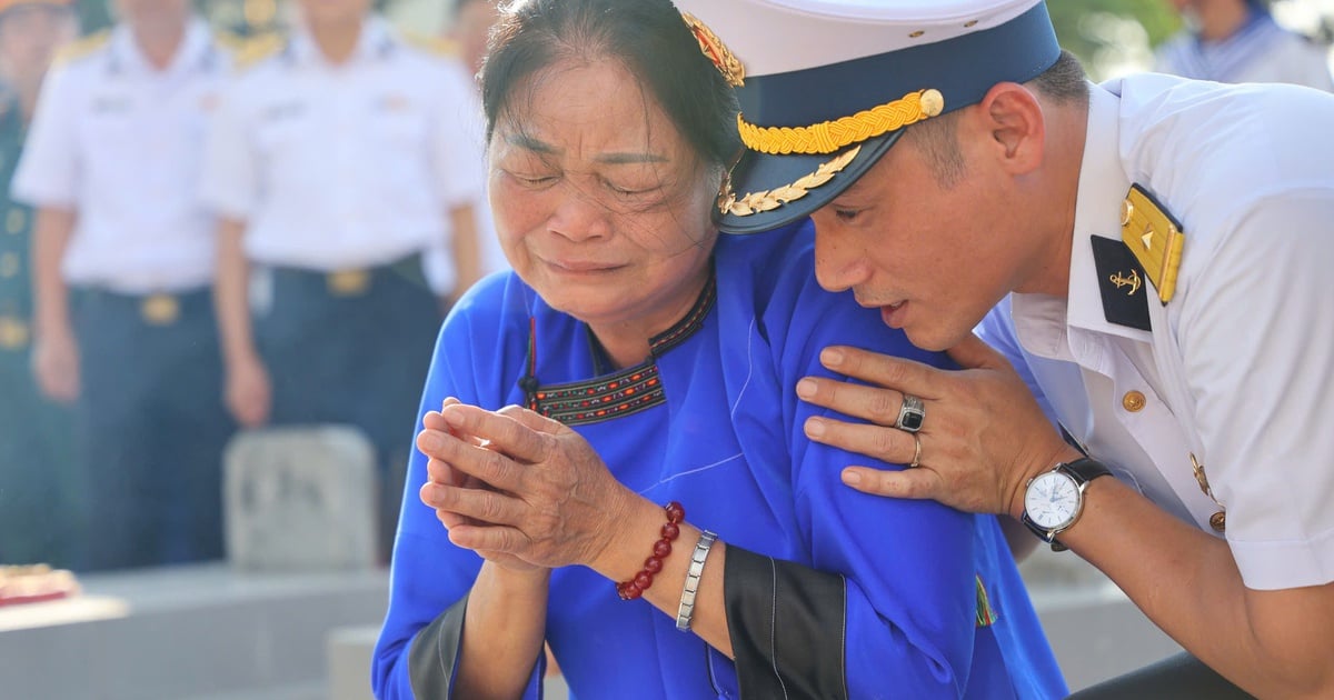
![[Photo] Touching images recreated at the program "Resources for Victory"](https://vstatic.vietnam.vn/vietnam/resource/IMAGE/2025/4/14/99863147ad274f01a9b208519ebc0dd2)
![[Photo] Children's smiles - hope after the earthquake disaster in Myanmar](https://vstatic.vietnam.vn/vietnam/resource/IMAGE/2025/4/14/9fc59328310d43839c4d369d08421cf3)
![[Photo] General Secretary To Lam chairs the third meeting to review the implementation of Resolution No. 18-NQ/TW](https://vstatic.vietnam.vn/vietnam/resource/IMAGE/2025/4/14/10f646e55e8e4f3b8c9ae2e35705481d)


Comment (0)