
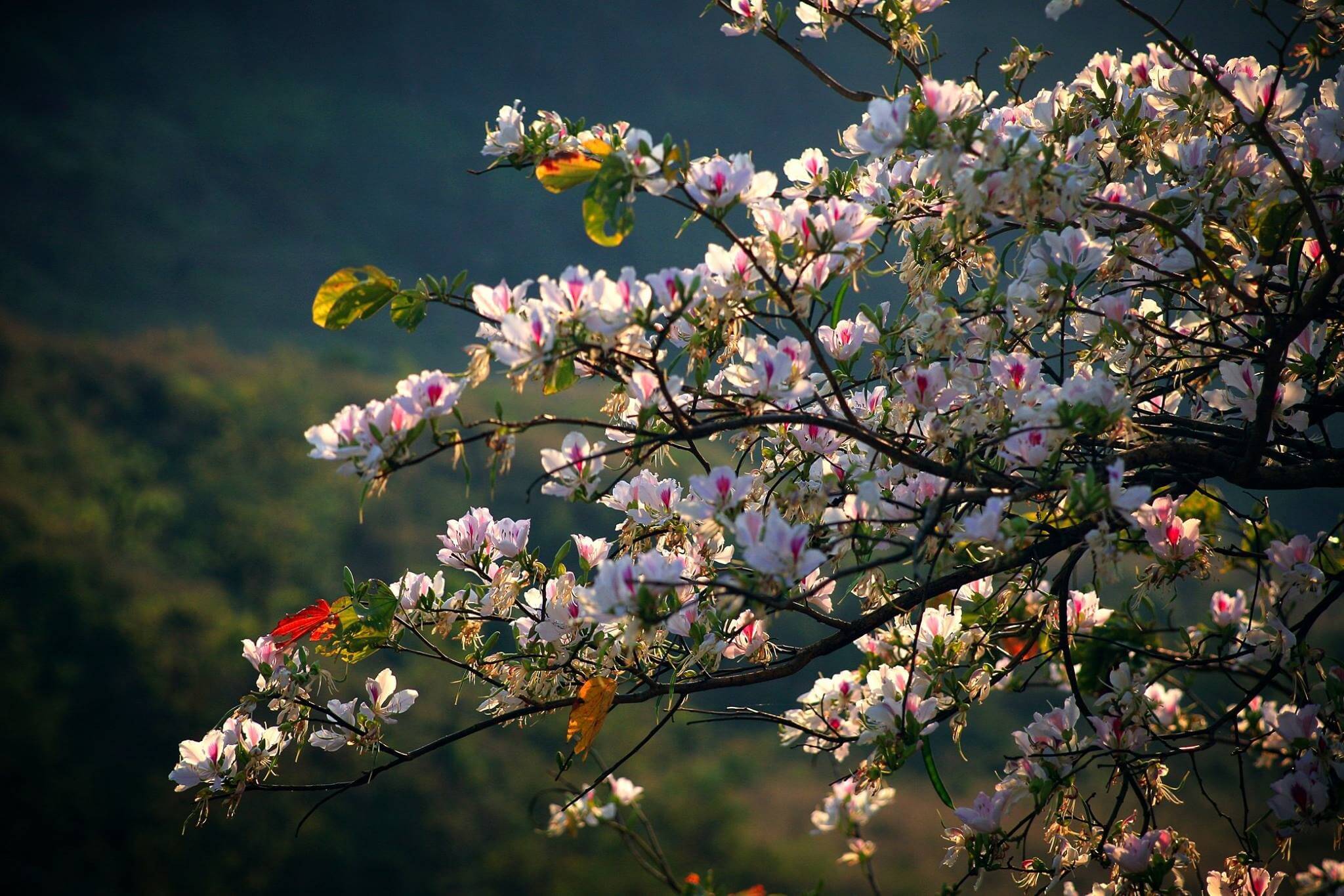
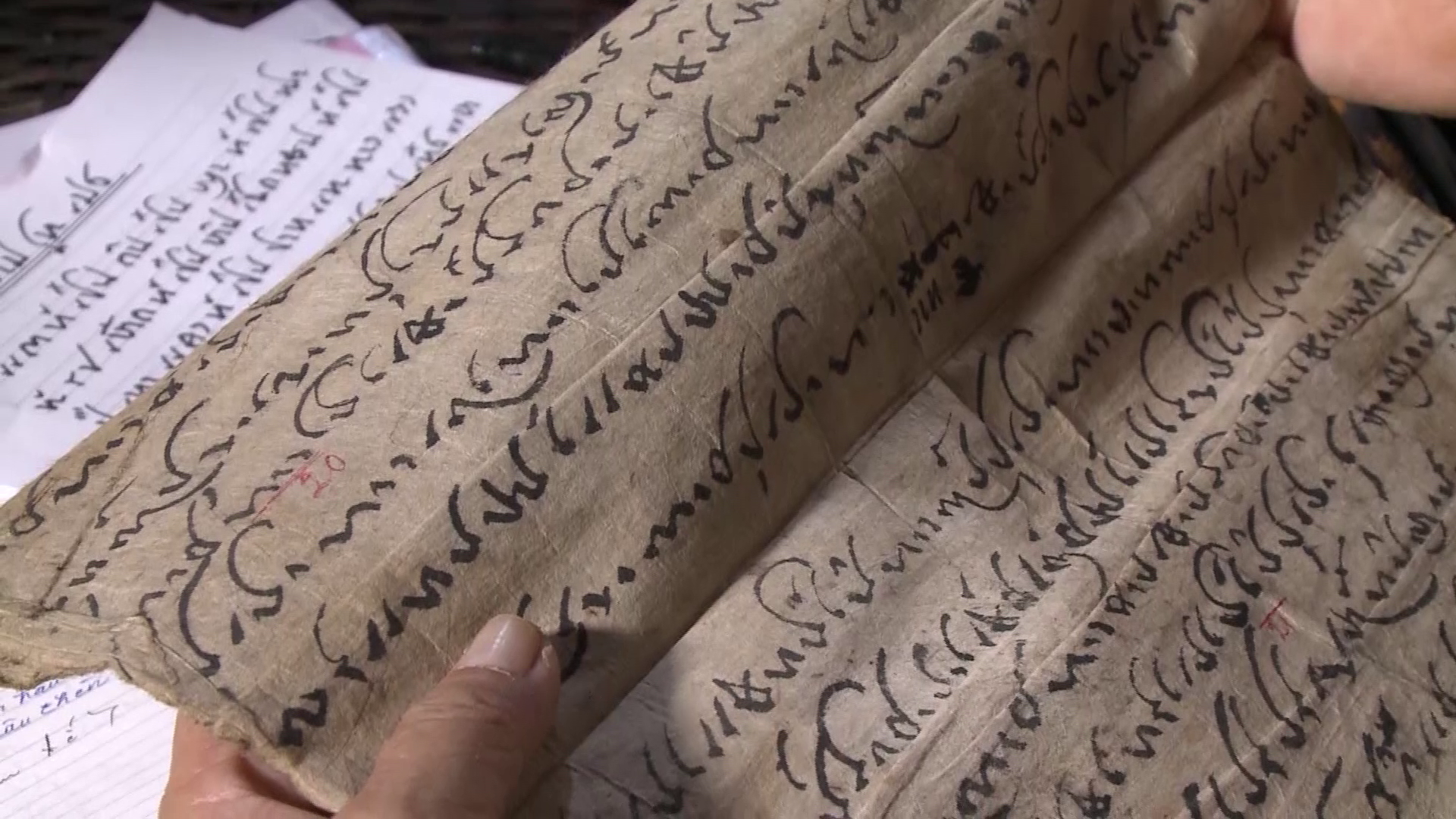
Going upstream of the Ma River is the western region of Thanh Hoa. A land border area is home to ethnic communities such as Muong, Thai, Tho, Dao, Mong, Kho Mu... that are gradually rising up with the development of the country. Here, after many years of efforts, the Vietnamese Government and Laos have restored and increased the thickness of 88 border markers on 213.6km of border, marking the sovereignty of the two countries...
The national border stretches through 16 communes and towns of 5 districts: Muong Lat, Quan Son, Quan Hoa, Lang Chanh, Thuong Xuan, bordering villages and hamlet clusters of Hua Phan province, Laos. And it is touching that each milestone and each border section here bears the mark of stories and people who have devoted their lives to guarding the "sacred soul of the Fatherland"...

Officers and soldiers of Na Meo International Border Gate Border Guard Station (Vietnam) and Nam Xoi International Border Gate Police Station (Laos) discuss the border situation near landmark 327. Photo: Internet.
Thanh Hoa is truly a province with great potential with vast land, large population, diverse terrain, including mountains, midlands, plains, coastal areas and continental shelf..., is a transit area between the northern provinces and the provinces from Nghe An to the south, is a bridge between the North Central region with the Northeast and the Northwest. During the years of resistance against the French, this land was a solid rear area of our revolution. In particular, from Thanh Hoa along the border to Laos, a route was built to transport food and weapons to the Northwest battlefield in general and Dien Bien Phu in particular very effectively and quickly.
During the years of fighting against the US, the western border of Thanh Hoa was where Border Guard scouts promptly discovered and foiled dozens of plots and tricks of reactionaries planted along the border to cause riots. In the highlands of Pu Nhi, which were covered in clouds all year round, the cadres mobilized the masses of Border Guard Station 41 to cross mountains and forests to find people to return to their old villages and build a new life together. From a deserted land, less than a year later, Pu Nhi was warm and prosperous with fields of rice, irrigation canals bringing water to the fields, a hydroelectric station providing light, a commune government and a Party cell. In the early years of renovation, the Thanh Hoa border was also the place where the movement "Village elders and village chiefs participate in protecting border lines and landmarks" was initiated.
Being an area with many rugged mountains, forests, and steep mountains interspersed with rivers and streams, creating a complex terrain, in the previous stage of demarcation and marker planting, the Vietnam - Laos border in the province had only one marker every 10km, and even one marker every 40km. Implementing the plan to increase the density and embellish the Vietnam - Laos border marker system, by July 2015, the two provinces of Thanh Hoa - Hua Phan had completed 88 markers, from marker number 270 to marker number 357; including 2 large marker locations, 16 medium marker locations and 70 small marker locations, and at the same time built 9 additional locations/13 markers.
Comrade Pham Dang Quyen, former Vice Chairman of the Provincial People's Committee, Head of the Steering Committee for Marker Planting in Thanh Hoa province affirmed: Marker planting is an important issue not only for the two provinces, but also for the two countries and for the future. Therefore, the two sides have agreed to work together to completely resolve the issue of establishing a record of the markers; continue to survey areas with changes in place names, population, and water systems that are different between the treaty map and the field map to proceed with the adjustment and supplementation of the border map. After completing the markers and stakes, the Steering Committee for Marker Planting in the two provinces directed the Marker Planting Team to draw up a record of the handover to the Border Guard stations on the land border with the task of managing, protecting, and ensuring absolute safety of the markers as well as security and order on the border.
Among the 88 newly renovated national border markers, 56 village elders, village chiefs, and prestigious people voluntarily registered to participate in self-management and protection of the border and markers. Notable among them are elders Lau Van Hu in Pu Dua village, Quang Chieu commune and Luong Van Soi in Cang village, Muong Chanh commune, both in Muong Lat district; and elder Vi Van Hoi in Cha Khot village, Na Meo commune, Quan Son district. Each elder has his own story, but they have one thing in common: all three elders have entered the age of "thất thập cổ lai hy" and are considered by the people as "passing on the fire" to protect the border.
According to the story of those "landmark gods" of Thanh land, up to the landmark with the code name 304 - the highest, farthest and most difficult landmark to travel, marking the boundary between Quang Chieu commune and Phieng Khay village in Muong Pun cluster, Vieng Xay district, Hua Phan province, Laos. Landmark 304 is a medium-sized single landmark, made of granite, planted on July 1, 2010, on the top of Po Lau 2 mountain, where the border changes direction, at an altitude of 1,888.25m, with coordinates 20˚24'47.237" - 104˚31'37.626". The landmark is managed and protected by Quang Chieu Border Guard Station, Thanh Hoa Border Guard. This landmark is called by the Muong Lat cadres and people the "Unification landmark" because its number coincides with the date of national reunification, April 30.
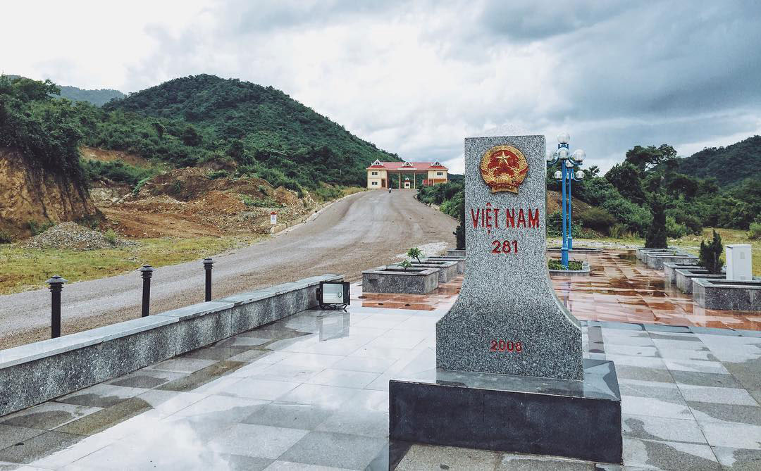
Landmark 281 of Ten Tan Pass, Muong Lat, Thanh Hoa. Photo from the Internet.
At the time of construction of the landmark, there was no concrete road into the village, so transporting materials into the village was very difficult. The trip from the village to the landmark site took almost a whole day, passing 15 streams and 4 high mountain peaks: To Lung, Da Den, Pu Lau and Po Lau. As for old man Su, he remembers very clearly that at that time, women in the village were responsible for cooking for the construction team and going down to the stream to scoop sand, while men transported bricks, stones and cement to the landmark site. The forest road was slippery, so they had to clear the way up the slope. When going down the slope, they faltered and slipped continuously, while cutting down trees to clear the path. The most difficult thing was transporting the landmark, which weighed a ton and was made of solid stone. The people and soldiers used winches, pulleys and their shoulders to pull the landmark up each section.
Leaving Muong Lat, coming to Quan Son, where there is an "international" market located just a few hundred meters from the border marker, held weekly for people on both sides of the border to exchange agricultural products, buy and sell goods, to visit marker 327. This is a large double marker placed at coordinates 20.27956 - 104.612699, inaugurated on July 8, 2011. Marker 327 is located at the end of National Highway 217 in Quan Son district - Na Meo international border gate together with the marker at Nam Xoi international border gate in Vieng Xay district, Hua Phan province, which is an important gateway for trade between Vietnam - Laos and Thanh Hoa - Hua Phan provinces.
In Na Meo, there are also extremely dedicated and lovely "border marker village elders". They volunteer to participate in protecting the border and the border markers. From marker 327 to marker 333, there are up to 3 village elders participating in management and protection, regularly performing the task of checking the border and visiting the "border marker comrades" - as the elders affectionately call the stone slabs that define the national border. Every week, the elders go into the forest once to check and clear the area around the border markers, then go down to the stream to get water to bathe the "border marker comrades". When they finish their work, the sun is also at the top of the bamboo, the village elders return to the Na Meo International Border Gate Border Guard Station to report the situation.
Indeed, only by standing in a place where just one step leads to another country can one fully feel the sacredness of the image of the national flag and the two words sovereignty, realize the intimacy of the "milestone comrades" and fully understand the affection of the people in the Thanh Hoa border./.
Vietnam.vn


Comment (0)