
On the morning of September 6, typhoon No. 3 (international name Yagi) approached Hainan Island, China. At 7:00 a.m., the center of the super typhoon was about 160km east-southeast of Hainan Island; about 600km east-southeast of Quang Ninh.
The strongest wind near the center of the super typhoon is level 16 (184-201km/h), gusting above level 17.
Thus, in the past 24 hours, super typhoon Yagi has maintained its intensity at level 16, gusting above level 17, and is moving quite quickly in a westerly direction, at a speed of about 15-20km/h.
The latest forecasts show that super typhoon Yagi is likely to enter the Gulf of Tonkin and affect our mainland sooner than previous forecasts.
Around the evening of September 6, super typhoon Yagi will enter the northern area of Hainan Island (China) and then enter the Gulf of Tonkin during the night until the early morning of September 7.
The National Center for Hydro-Meteorological Forecasting said that as of 7:00 a.m. on September 7, storm Yagi was about 120km east-southeast of Quang Ninh, with a storm intensity of level 12-13, gusting to level 16.
Tomorrow, storm Yagi is forecast to make landfall in the coastal provinces of the North (from Quang Ninh to Nam Dinh).
At 7:00 p.m. on September 7, the center of storm No. 3 was on land in the northeastern region, with a storm intensity of level 6, moving at about 20km/h, moving deep inland and gradually weakening into a low pressure area.

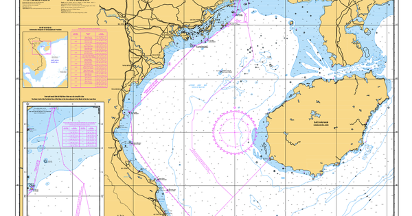
Super typhoon Yagi is approaching China's Hainan Island (Photo: Vietnam Disaster Monitoring System).
Due to the influence of the super typhoon, the northwestern sea area of the North East Sea has strong winds of level 11-14, the area near the center of the super typhoon has winds of level 15-16, gusting above level 17, and the sea is very rough.
Around noon on September 6, the eastern sea of Bac Bo Gulf (including Bach Long Vy island district) had winds gradually increasing to level 6-7.
From the evening and night of September 6, the wind in the Gulf of Tonkin (including Bach Long Vi and Co To island districts) will gradually increase to level 8-9, then increase to level 10-11, near the storm center, level 12-14, gusting to level 17; the sea will be very rough.
From the night of September 6 and early morning of September 7, coastal areas from Quang Ninh to Thanh Hoa will have winds gradually increasing to level 6-7, then increasing to level 8-9, areas near the storm center will have winds of level 10-12, gusting to level 14; areas deep inland in the Northeast will have strong winds of level 6-8, gusting to level 9-11 (the strongest winds will be from morning to evening of September 7).
The northwest sea area of the North East Sea has waves 7-9m high, the area near the center of the super storm has waves 10-12m high, the sea is very rough.
From noon on September 6, in the Gulf of Tonkin (including Bach Long Vi and Co To island districts), waves were 2-4m high, then increased to 3-5m, and 6-8m near the storm's eye.
From the night of September 6 and early morning of September 7, coastal waters from Quang Ninh to Thanh Hoa had waves 2-3m high, later increasing to 2-4m, and 3-5m near the storm center.
Coastal areas from Thanh Hoa to Quang Ninh need to be on guard against storm surges from 0.5m (Thanh Hoa) to 1.8m (Quang Ninh) in the afternoon and night of September 7.
Notably, on September 6, the Northeast region, from Thanh Hoa to Thua Thien Hue, will have thunderstorms due to the impact of the outer circulation of storm No. 3.
From the night of September 6 to the morning of September 9, in the Northern region and Thanh Hoa, there is a possibility of heavy rain, locally very heavy rain and thunderstorms with total rainfall ranging from 100 to 350mm, in some places over 500mm.
Heavy rains can cause flooding in low-lying areas; flash floods in small rivers and streams, and landslides on steep slopes.
Due to the influence of the wide storm circulation, it is necessary to be on guard against the risk of thunderstorms, tornadoes and strong gusts of wind both before and during the storm's landfall.
Dantri.com.vn
Source: https://dantri.com.vn/xa-hoi/sieu-bao-yagi-giu-nguyen-cap-16-cach-quang-ninh-600km-20240906090858356.htm


Comment (0)