
Accordingly, at 3:00 a.m. on August 9 At Am Thuong Hydrological Station on Thao River (Ha Hoa), the water level has reached 24.55m, 0.05m above alarm level I, and the water level is expected to continue to rise slowly.
The Provincial Steering Committee for Natural Disaster Prevention and Search and Rescue has issued an alert No. 1 to the Steering Committee for Natural Disaster Prevention and Search and Rescue of Ha Hoa, Thanh Ba, Cam Khe districts and Phu Tho Irrigation Works Exploitation One Member Co., Ltd., requesting the deployment of forces, materials, and means according to the prescribed alarm levels; increasing patrols, guarding, detecting any incidents and damage to dikes, embankments, culverts, pumping stations and taking timely measures; operating culverts and pumping stations along the river according to procedures, ensuring safety.
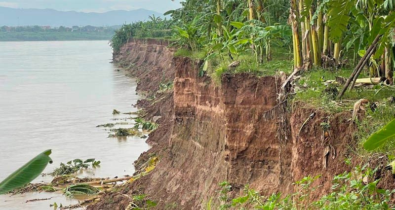
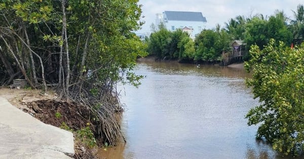
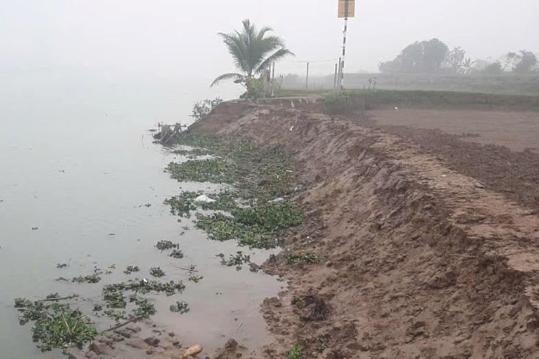
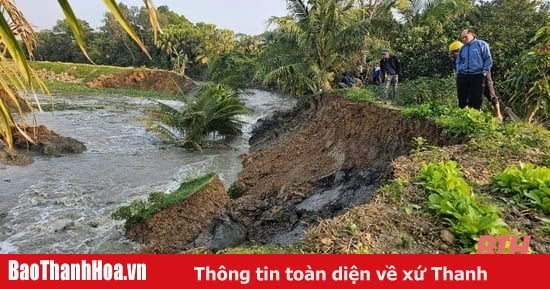
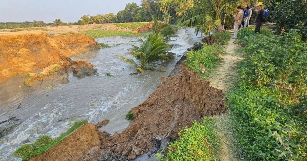
In addition, due to the influence of the rapid flow, the flow regime of Thao River changed, the riverbed in Ban Nguyen commune, Lam Thao district, Phu Tho province was deeply eroded, causing serious landslides on the bank, and the left dike of Thao river in Ban Nguyen commune, Lam Thao district.
The total length of the landslide is about 655m, of which about 355m of Ban Nguyen embankment has been eroded, which is the embankment protecting more than 1,000 households in Ban Nguyen and Vinh Lai communes, Lam Thao district. Currently, there are many long-term landslides in the area with the risk of continued severe landslides.
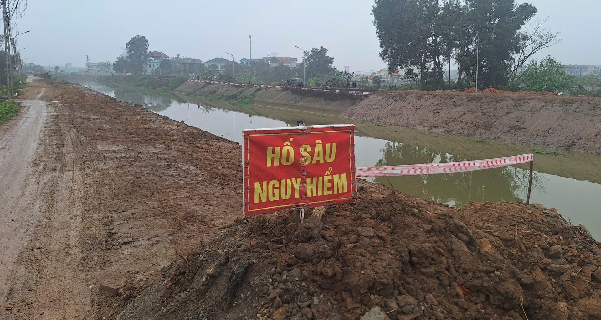
If not handled promptly, it will threaten the safety of the dike system and the lives and property of the people. In the immediate future, to ensure the safety of people's lives and property, the authorities and people of Vinh Lai and Ban Nguyen communes have put up warning signs not allowing people and livestock to enter the landslide area; deployed forces to monitor the landslide situation, implement zoning measures, and take measures to ensure the safety of the people.
Source


Comment (0)