
Accordingly, 03 irrigation works: Cua Dat Reservoir, Thanh Hoa Province; Ta Trach Reservoir, Thua Thien Hue Province; Dau Tieng Reservoir, Tay Ninh, Binh Duong, Binh Phuoc Provinces are included in the List of important works related to national security.
The scope of the protection corridor is specified as follows:
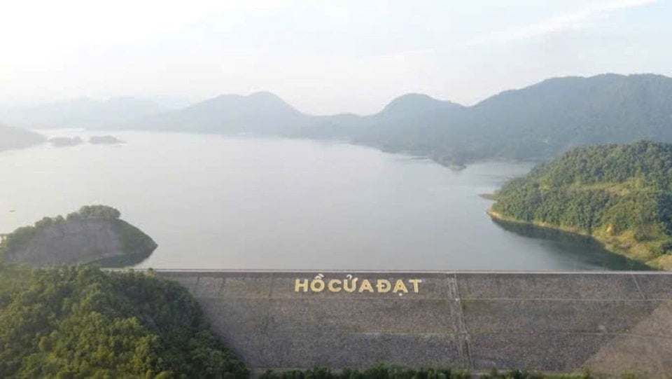
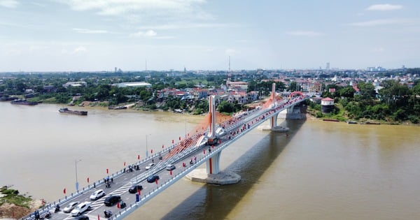
Cua Dat Reservoir Project, Thanh Hoa Province
Main dam: Upstream, the protection range is 300 m from the upstream dam foot towards the reservoir; downstream, according to the limit within the coordinates from CD01 to CD60.
Spillway: Upstream, the protection range is 300 m from the head of the upstream channel towards the reservoir; downstream and spillway shoulders are limited within the coordinates from CD01 to CD60.
Auxiliary dam: Upstream, the protection range is 300 m from the upstream dam foot towards the reservoir; downstream, within the coordinates from DC01 to DC32, from HC01 to HC42 and from BT01 to BT18.
Intake culvert: Upstream of the culvert, the protection range is 300 m from the outermost point of the diversion wall towards the reservoir; downstream of the culvert, the protection range is 300 m from the end point of the downstream wing wall towards the downstream.
The height limit of the above-ground part and the protection range is 45 m from the natural ground level. The depth below ground level and the protection range is from the dam crest elevation +121.3 m down to elevation 0 m (according to the foundation depth of the headworks).
Scope of the reservoir and surrounding area of Cua Dat reservoir: The protected area of the reservoir is 36.84 km2 corresponding to the dam crest elevation of +121.3 m or lower towards the reservoir.
Ta Trach Reservoir Project, Thua Thien Hue Province
Main dam: Upstream, the protection range is 300 m from the upstream dam foot towards the reservoir; downstream, according to the limit within the coordinates from ANQG-69 to KDC-ANQG-9.
Spillway: Upstream, the protection range is 300 m from the outer edge of the battery pillars towards the reservoir bed; downstream, the spillway discharges flood within the coordinates from KDC-ANQG-1 to ANQG-65.
Auxiliary dam: Upstream, the protection range is 300 m from the upstream dam foot towards the reservoir; downstream, the protection range is 300 m from the dam foot outwards, including markers from PC-1 to PC-50 and from PC71 to PC-90.
Tuynen pipeline route: According to the limits within the coordinates from ANQG-66 to ANQG-68.
Intake culvert under auxiliary dam 4 and channel: Upstream, the protection range is 300 m from the outermost point of the diversion wall towards the reservoir; downstream, the protection range is 300 m from the end point of the downstream wing wall towards the reservoir.
The height limit of the above-ground part, the protection range is 45 m from the natural ground level. The depth below ground level, the protection range is from the dam crest elevation +55 m down to the code +0 m (according to the foundation depth of the headworks).
Scope of the reservoir and surrounding area of Ta Trach reservoir: The protected area of the reservoir is 36.3 km2 corresponding to elevation +53 m or lower towards the reservoir.
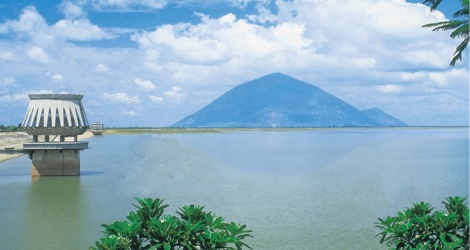
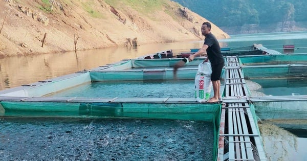
Dau Tieng Reservoir Project, Tay Ninh, Binh Duong, Binh Phuoc Provinces
Main dam: Upstream and downstream, the protection range is 300 m from the foot of the dam.
Spillway: Upstream, the protection range is 300 m from the wing wall towards the reservoir; downstream, the protection range is 300 m from the flood discharge spillway wall, 50 m from the spillway shoulder outward on each side.
Auxiliary dam: Upstream, the protection range is 300 m from the upstream dam foot towards the reservoir; downstream, measured according to the actual distance from the downstream dam foot to the edge of the DT781 asphalt road.
Intake culverts No. 1, 2, 3: Upstream of the culvert, the protection area is 300 m from the outermost point of the diversion wall towards the reservoir; downstream of the culvert, the protection area is 300 m from the end point of the wing wall towards the reservoir; the width of the protection area from the foot of the outer slope of the main canal to each side is 5 m.
The height limit of the above-ground part, the protection range is 45 m from the natural ground level. The depth below ground level, the protection range is 40 m (according to the depth of the foundation of the headworks).
Scope of the reservoir and surrounding area of Dau Tieng reservoir: The protected area of the reservoir is 270 km2 corresponding to the normal water level of +24.4 m or lower towards the reservoir.
The Decision clearly states that, for the protection corridor of key works (main dam, spillway, auxiliary dam, Tuynen pipeline, water intake and channel), the legal provisions on protection of important works related to national security and other relevant legal provisions shall be implemented. For the scope of the reservoir and the surrounding area of the reservoir, continue to carry out multi-purpose activities serving socio-economic development according to the provisions of the law on irrigation and other relevant legal provisions.
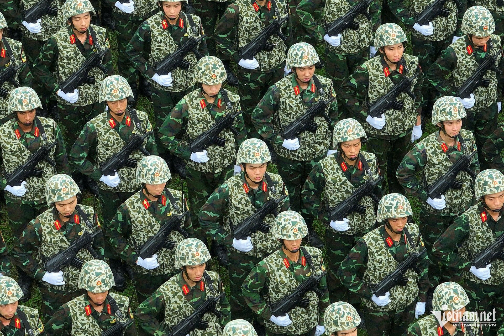
Organize prevention and combat against acts of violating the security and safety of construction works.
The Deputy Prime Minister assigned the Ministry of Public Security to preside over and coordinate with relevant ministries, branches and localities: Develop protection programs and plans, propose and implement protection measures, organize prevention and combat against acts of violating the security and safety of the works; deploy forces and means to meet the requirements of ensuring security and safety for the works during the management and exploitation process; Strengthen coordination, information exchange, unify the issuance of licenses and inspect the implementation of operating licenses within the protection scope of important works related to national security according to the provisions of Ordinance No. 32/2007/PL-UBTVQH11 dated April 20, 2007 of the Standing Committee of the National Assembly, Decree No. 126/2008/ND-CP dated December 11, 2008 of the Government detailing and guiding the implementation of a number of articles of the Ordinance on Protection of Important Works Related to National Security and Resolution No. 104/NQ-CP dated November 14, 2019 of the Government handling difficulties in the management, exploitation and protection of important irrigation reservoirs related to national security; estimate costs, set additional markers (if necessary) within the protection corridor.
The Ministry of Agriculture and Rural Development, the People's Committees of Thanh Hoa, Thua Thien Hue, Tay Ninh, Binh Duong and Binh Phuoc provinces coordinate with relevant ministries, branches and localities to grant licenses and manage the activities of organizations and individuals within the scope of protecting important works related to national security according to the provisions of law on irrigation, protection of important works related to national security, water resources, environment and Resolution No. 104/NQ-CP dated November 14, 2019 of the Government.
Source: https://kinhtedothi.vn/ho-cua-dat-la-cong-trinh-quan-trong-lien-quan-den-an-ninh-quoc-gia.html


Comment (0)