
Day and night of November 28, the Northern region will be cloudy with rain in some places; light wind; cold in the morning and at night; lowest temperature 15-18 degrees Celsius, some places below 14 degrees Celsius; highest temperature 20-23 degrees Celsius.
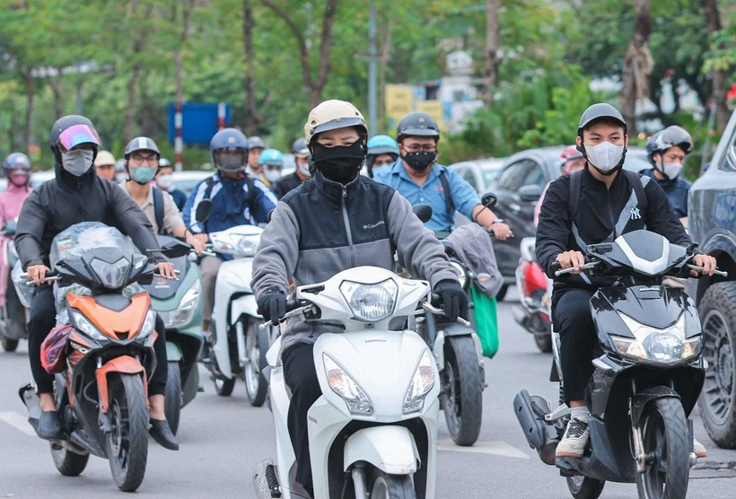
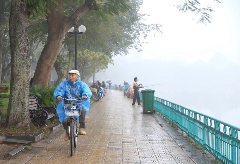
According to the National Center for Hydro-Meteorological Forecasting, the North and the capital Hanoi continue to be cold, with temperatures below 16 degrees Celsius, in mountainous areas below 14 degrees Celsius; some areas have light rain.
At sea, the Gulf of Tonkin has strong northeast winds of level 6, gusting to level 8; the North East Sea area has strong northeast winds of level 6-7, gusting to level 8. At Huyen Tran station, there are strong northeast winds of level 6-7, gusting to level 8; at Ly Son station, there are strong northeast winds of level 6, gusting to level 8; at Phu Quy station, there are gusts of level 7. The South East Sea area (including Truong Sa sea area) has showers and thunderstorms.
During the day and night of November 28, the North East Sea area (including Hoang Sa sea area) has strong Northeast wind level 7, gusting to level 8-9; rough sea; waves from 4-6m high. The sea area from Quang Tri to Binh Thuan; the sea area north of the area between the East Sea and the sea area west of the South East Sea area (including the sea area west of Truong Sa) has Northeast wind level 6, sometimes level 7, gusting to level 8. Rough sea. The sea area from Ba Ria-Vung Tau to Ca Mau has Northeast wind level 6, gusting to level 7-8; rough sea.
In addition, on the day and night of November 28, the sea area from Binh Thuan to Ca Mau, Ca Mau to Kien Giang, the sea area south of the Gulf of Thailand and the South East Sea (including Truong Sa sea area) will have scattered showers and thunderstorms; in thunderstorms there is a possibility of tornadoes and strong gusts of wind level 7-8.
On the day and night of November 29, the North East Sea area (including Hoang Sa sea area) has strong northeast winds of level 6-7, gusting to level 8-9; waves 4-6m high; rough seas. The sea area from Binh Dinh to Ninh Thuan, the area between the East Sea and the western sea area of the South East Sea area (including the sea area west of Truong Sa) has northeast winds of level 6, gusting to level 7-8; waves 3-5m high; rough seas. The sea area from Binh Thuan to Ca Mau has strong northeast winds of level 6, sometimes level 7, gusting to level 8-9; waves 2-4m high; rough seas. The risk of natural disasters due to strong winds at sea is level 2. All ships operating in the above areas are at high risk of being affected by tornadoes, strong winds and big waves.
Regarding the rain situation, from 1:00 a.m. on November 27 to 1:00 a.m. on November 28, Ha Tinh province and the provinces from Thua Thien-Hue to Quang Ngai had moderate rain, heavy rain, and some places had very heavy rain such as: Cam Yen (Ha Tinh) 112.2mm; Ho Trooc Trau (Quang Binh) 180mm; Bach Ma (Thua Thien-Hue) 159.8mm; Tra Don (Quang Nam) 122.8mm; Tra Thanh (Quang Ngai) 121.4mm... The soil moisture model shows that some areas in the above provinces are nearly saturated (over 85%) or have reached a saturated state.
On November 28, Ha Tinh province and provinces from Thua Thien-Hue to Quang Ngai continued to have rain, with accumulated rainfall ranging from 10-30mm, in some places over 40mm; there is a risk of flash floods on small rivers and streams, landslides on steep slopes in many areas. The risk of natural disasters due to flash floods, landslides, and land subsidence due to heavy rain or level 1 flow.
Flash floods and landslides can have very negative impacts on the environment, threaten people's lives; cause local traffic congestion, affect the movement of vehicles; destroy civil and economic works, causing damage to production and socio-economic activities.
Forecast for the day and night of November 28, the Northwest region is cloudy, with rain in some places; light wind; cold in the morning and at night. Lowest temperature 15-18 degrees Celsius, some places below 14 degrees Celsius. Highest temperature 20-23 degrees Celsius.
Northeast region is cloudy, with rain in some places, sunny in the afternoon. Northeast to North wind level 2-3. Cold in the morning and at night. Lowest temperature 16-19 degrees Celsius, mountainous areas 14-16 degrees Celsius, high mountainous areas below 10 degrees Celsius. Highest temperature 21-24 degrees Celsius.
Hanoi capital is cloudy, no rain, sunny in the afternoon. Northeast to North wind level 2-3. Cold in the morning and at night. Lowest temperature 17-19 degrees Celsius. Highest temperature 22-24 degrees Celsius.
Provinces from Thanh Hoa to Thua Thien-Hue are cloudy, with some rain in the North; scattered rain and showers in the South. North to Northwest wind level 2-3. Cold in the North in the morning and at night, cold in the South. Lowest temperature in the North is 17-20 degrees Celsius; in the South is 21-23 degrees Celsius. Highest temperature in the North is 21-24 degrees Celsius; in the South is 24-27 degrees Celsius.
Provinces and cities from Da Nang to Binh Thuan are cloudy with scattered showers and heavy rain in some places. Northeast wind level 2-3. Lowest temperature 23-26 degrees Celsius. Highest temperature, North 26-29 degrees Celsius, South 29-32 degrees Celsius.
The Central Highlands region is cloudy, with showers and thunderstorms in some places. Northeast wind level 2-3. Lowest temperature 19-22 degrees Celsius, some places below 18 degrees Celsius. Highest temperature 26-29 degrees Celsius.
Southern region has clouds, showers and thunderstorms in some places. Northeast wind level 2-3. Lowest temperature 23-26 degrees Celsius. Highest temperature 30-33 degrees Celsius, some places above 33 degrees Celsius.
Source: VNA
Source: https://baophutho.vn/bac-bo-va-thu-do-ha-noi-tiep-tuc-ret-nen-nhet-xuong-duoi-16-do-c-223547.htm
![[Photo] Moment of love: Myanmar people are moved to thank Vietnamese soldiers](https://vstatic.vietnam.vn/vietnam/resource/IMAGE/2025/4/3/9b2e07196eb14aa5aacb1bc9e067ae6f)
![[Photo] General Secretary To Lam receives Japanese Ambassador to Vietnam Ito Naoki](https://vstatic.vietnam.vn/vietnam/resource/IMAGE/2025/4/3/3a5d233bc09d4928ac9bfed97674be98)
![[Photo] Special relics at the Vietnam Military History Museum associated with the heroic April 30th](https://vstatic.vietnam.vn/vietnam/resource/IMAGE/2025/4/3/a49d65b17b804e398de42bc2caba8368)


Comment (0)