
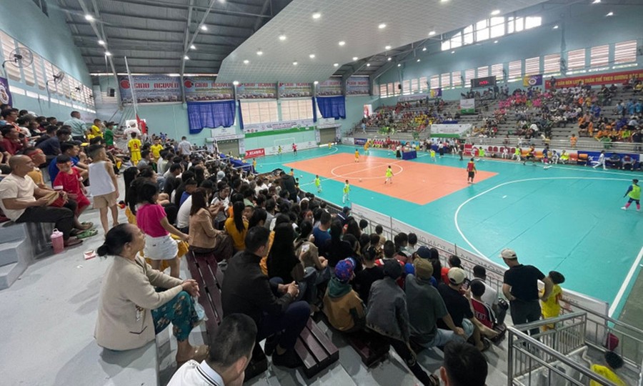
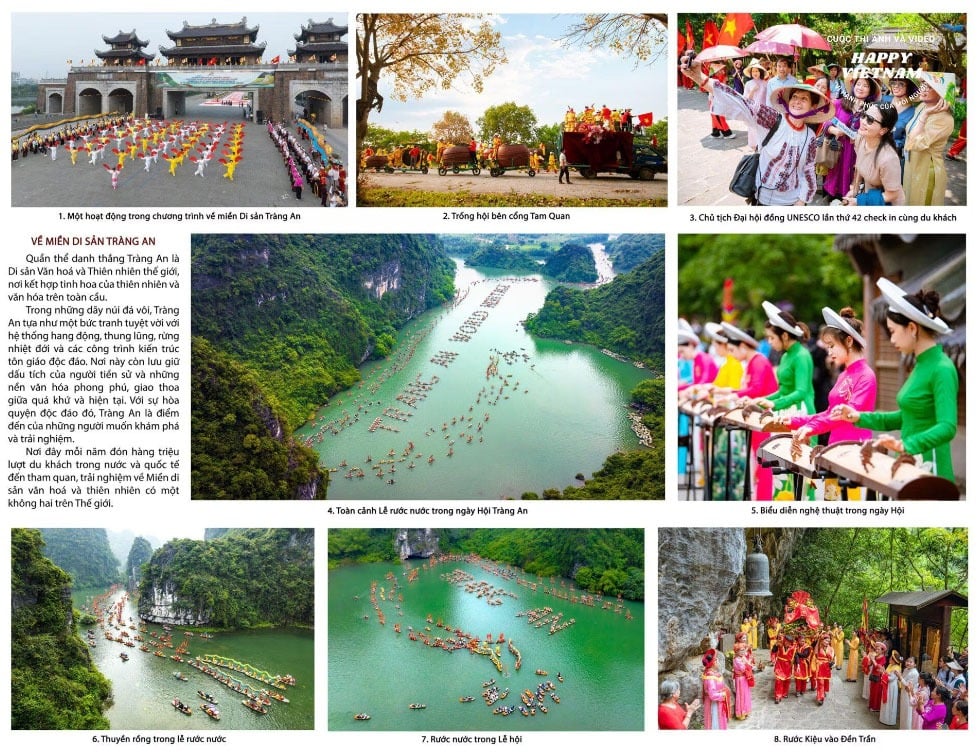
From the past to the present, the seaport bay of Da Nang has always had a strategic position and an important trading position. Resolution No. 43-NQ/TW of the Politburo on the construction and development of Da Nang city to 2030, with a vision to 2045, also determined to build Da Nang city into a seaport city, an international coastal city with the position of the core of the urban chain and the growth pole of the key economic region of the Central - Central Highlands.
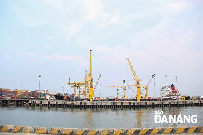 |
| Wharf system at Da Nang Port. Photo: PV |
From the port position
At the exhibition "Da Nang seen from the sea through the World Documentary Heritage of the Nguyen Dynasty's Royal Records" organized by the Hoang Sa Exhibition House, Hoang Sa island district at the end of March, Director of the Department of Home Affairs, Chairman of the People's Committee of Hoang Sa island district Vo Ngoc Dong said that in the middle of the 16th century, Da Nang was a port for transit of goods and ship repair, and by the 19th century, it had become the largest commercial port in the Central region. Da Nang was both the center of maritime voyages and the place where unofficial diplomatic relations took place between the Hue court (Nguyen dynasty) and Western countries. At the same time, Da Nang was a "crucial maritime area", with a "crucial seaport", holding an important strategic position in military and defense. With that position, Da Nang played a special role in economics, military and defense under the Nguyen dynasty.
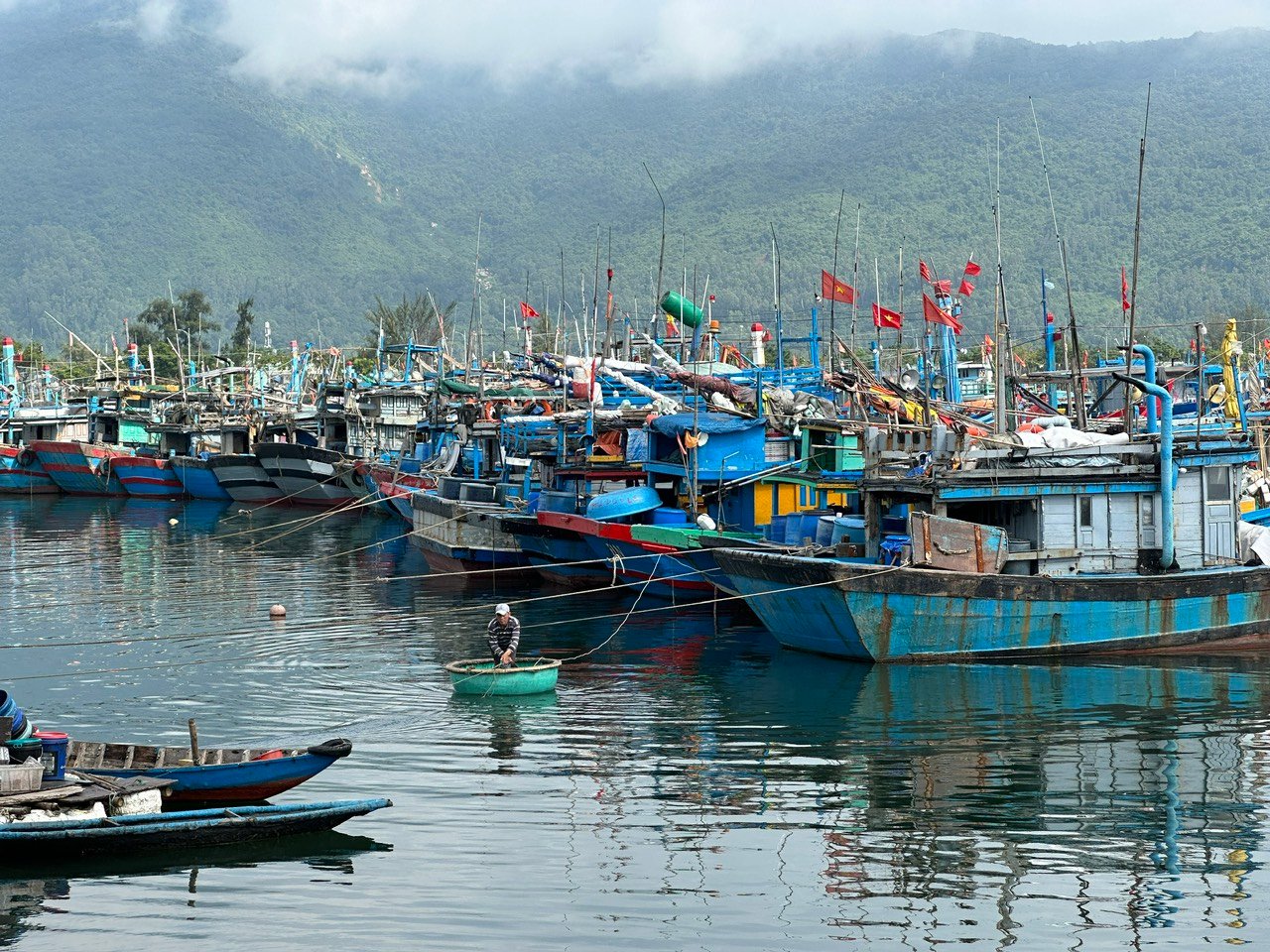
Under the Nguyen Dynasty, the sea area of Da Nang played a particularly important role because "it has a large sea area, both wide and deep, able to accommodate thousands of boats, and is protected by mountains on the outside, so there is no need to worry about wind and waves". Therefore, public transport ships, patrol boats, fishing boats and merchant ships from other countries often enter this seaport for shelter when encountering strong winds when passing through the sea area. In addition, Da Nang is located not far from the capital, so it is very convenient for transportation, communication, management and control of the Hue court. Therefore, King Minh Mang ordered that "all Western merchant ships coming to trade can only dock at the Da Nang seaport". Also because of its important geostrategic position in economic development and national defense, since the Nguyen Dynasty, a defense system has been built in the coastal area with strong fortresses, fortifications and equipped with weapons, guns, and cannons for defense.
According to Dr. Le Tien Cong, Director of Hoang Sa Exhibition House, in the Japanese emaki painting, painted during the Edo period (1603-1868), depicts the scene of Japanese merchant ships crossing the sea to trade with Dang Trong (Chaya Shinroku Kochi toko zukan painting). The drawing on the painting depicts the journey of merchant Chaya Shinroku (Tra Oc Tan Luc) from Japan to Hoi An; the scene of daily life in the Japanese town in Hoi An, the scene of merchant Chaya Shinroku's delegation visiting the governor of Quang Nam at Thanh Chiem citadel, the scene of Chaya's boat following a small river to a large estuary, then following another river to a palace surrounded by bamboo fences and protected by cannons. Outside the palace is a scene of a river, fields and prosperous villages; on the riverbank are three elephants with mahouts on their backs...
Marine economic center
In the book “700-year history of Da Nang” by researcher Le Duy Anh, it is written that if Da Nang did not have a bay, nothing would be important. Da Nang Bay has created a maritime exchange figure for the whole of Central Vietnam. Since becoming a gathering place for residents, especially with the frequent visits of foreigners to the trading port, Da Nang has had a greater commercial position, until the beginning of the 19th century when Da Nang took over and replaced the role of Hoi An in commerce.
According to Mr. Vo Ngoc Dong, looking back at history, Da Nang has played an increasingly important role in the development of our country. With the first publication of nearly 100 documents with royal seals and handwritings at the above exhibition, these are authentic historical documents that contribute to clarifying the role and position of Da Nang sea in history.
The strategy and policies for the development of Da Nang city are placed within the overall socio-economic development strategy of the whole country, the key economic region of the Central region, the North Central region and the Central Coast - Central Highlands; closely connected with growth agencies, development centers, major cities in the country and the Southeast Asia and Asia - Pacific regions; based on the exploitation and effective use of all potentials and advantages, especially natural resources, marine economic potential, important geo-economic and geo-strategic positions of Da Nang city in the region and the whole country.
Resolution No. 43-NQ/TW of the Politburo on the construction and development of Da Nang city to 2030, with a vision to 2045, the viewpoints and goals section states: Developing Da Nang city towards an ecological, modern, smart, international urban area with its own identity; developing the economy rapidly and sustainably, considering improving the quality of people's lives to a high level as the central task; focusing on developing 3 main pillars: tourism, high-tech industry and marine economy; ensuring national defense, security, sovereignty over seas and islands, social order and safety. Building Da Nang city into one of the major socio-economic centers of the country and Southeast Asia with the role of a center for startups, innovation, tourism, trade, finance, logistics, high-tech industry, information technology, supporting industry; is one of the cultural - sports, education - training, high-quality healthcare, science - technology development centers of the country; center for organizing regional and international events; seaport city, international coastal urban area with the position as the nucleus of the urban chain and growth pole of the key economic region of the Central - Central Highlands...
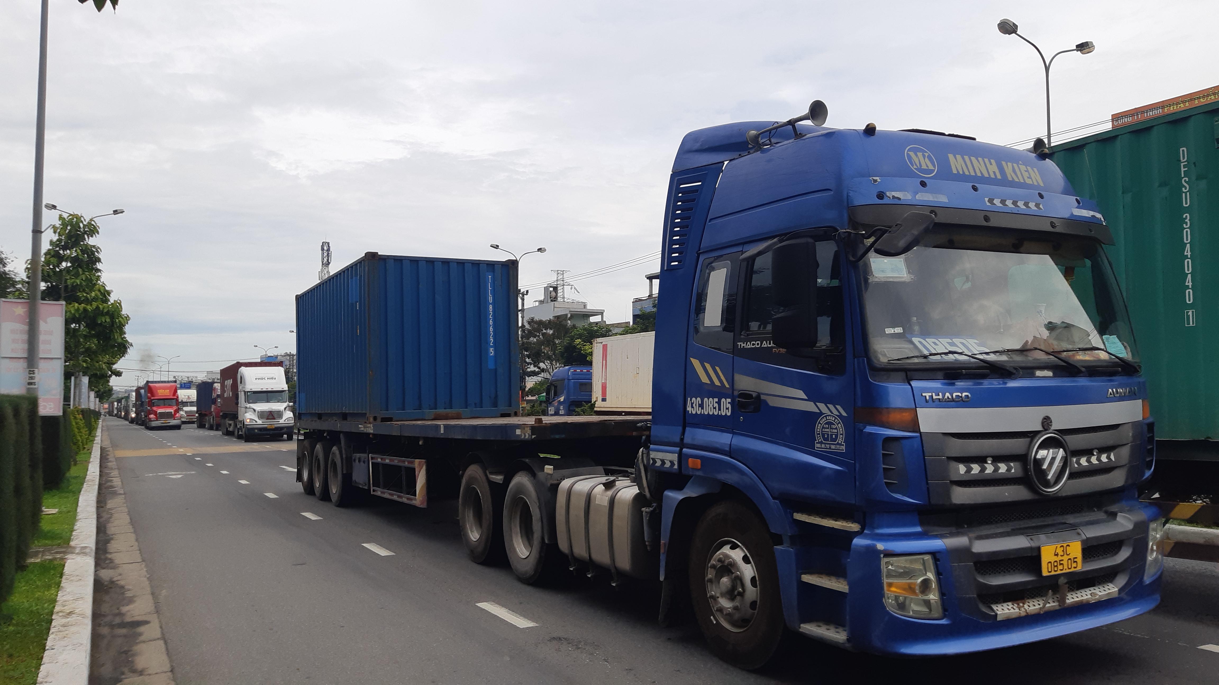
History of Da Nang Port was established in 1901. The development of Da Nang Port has always been closely linked to the development of the city, contributing to the protection of national security, local and Central socio-economic development. Da Nang Port is currently an important link in the logistics service chain of the Central Highlands - Central region. Da Nang Port is also chosen as the final point of the East-West Economic Corridor, connecting the four countries of Myanmar, Thailand, Laos and Vietnam, the main gateway to the East Sea for the entire region. With a history of more than 120 years of formation and development, Da Nang Port is currently the largest container seaport in the Central region, possessing nearly 1,700m of wharf with the ability to receive general cargo ships up to 70,000 DWT, container ships up to 4,000 Teus and passenger ships up to 170,000 GRT, along with modern loading and unloading equipment and warehouses.
TRONG HUY
Source link


Comment (0)