
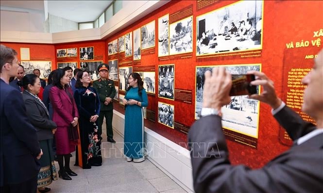
On the morning of April 22, the Department of Home Affairs of Dien Bien province announced an online exhibition with 3D models inspired by famous local landmarks such as Ban Phu citadel, Dien Bien Phu battlefield relic site, and victory monument.
The exhibition consists of 3 parts. Part 1: "From the land of the ancient Vietnamese to the name Dien Bien", is divided into two periods: Dien Bien before the 19th century and Dien Bien under the Nguyen Dynasty.
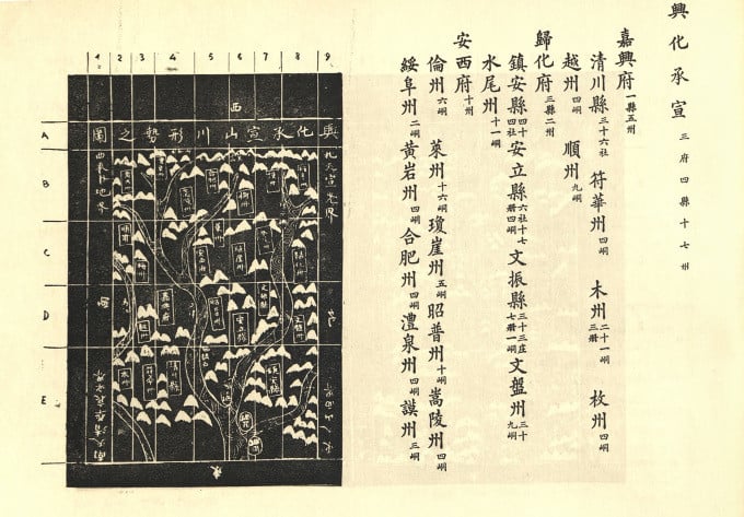
Dien Bien used to belong to Hung Hoa province, during the Hung King period it was Tan Hung district, during the Qin period it belonged to Tuong Quan. Some of the documents introduced are the map of Hung Hoa district during the Hong Duc period; the book Dai Nam Nhat Thong Chi written on the stone mountain in the upper Bo river; the report of the Hung Hoa Provincial Governor's Office, Nguoi Khac Tuan, and the Inspector Dinh Van Minh on the establishment of Dien Bien district.
In 1841, King Trieu Tri separated the districts of Ninh Bien, Tuan Giao, Lai Chau, and added Dien Bien prefecture to Hung Hoa province. This was the first time the name Dien Bien officially appeared in history.
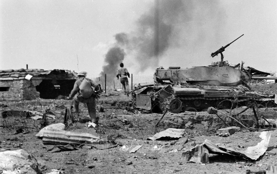
Part 2 is called "Dien Bien - The rendezvous of patriotism", including two chapters: Dien Bien under French colonial rule and Dien Bien Phu - A golden history. The valuable documents at this time are the decree of the Governor-General of Indochina on the establishment of Lai Chau province; President Ho Chi Minh's letter to all the people, soldiers and cadres of the Northwest in 1953 and the "Determined to fight, determined to win" flag flying on the roof of General De Castries' bunker.
Part 3 is "Dien Bien - The Journey of Innovation" with two main contents: From Dien Bien Farm to Dien Bien Phu City and Development Planning of Dien Bien Province. Typical documents include the Medal Book awarded to Dien Bien Farm from its establishment until the restoration of peace; Resolution No. on dividing and adjusting the administrative boundaries of some provinces (including Lai Chau).
The documents were collected from the National Archives Center, Dien Bien Provincial Museum, Institute of Han-Nom Studies, French Ministry of Defense Archives and a number of agencies and units of Dien Bien province.
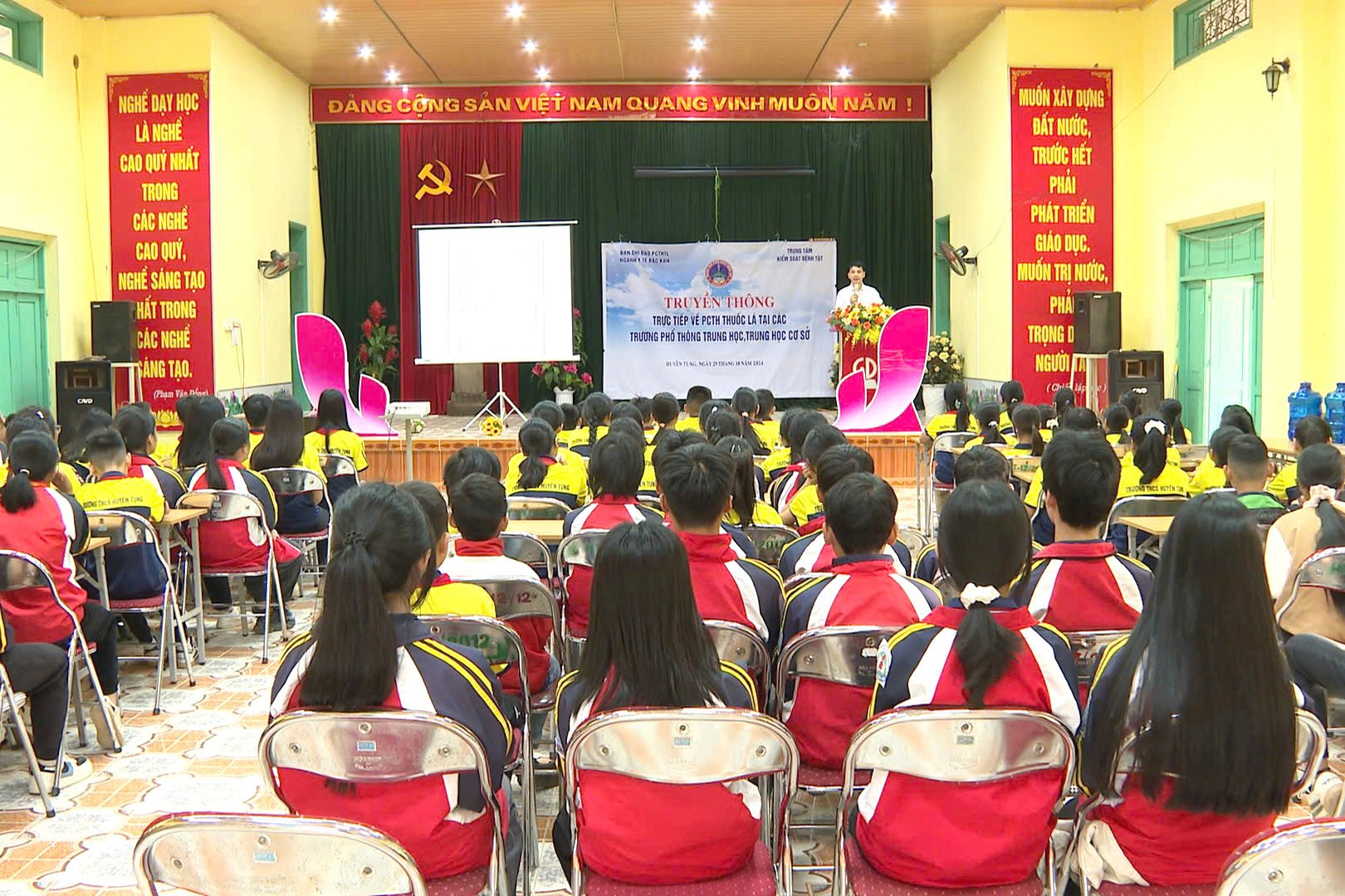
According to the Department of Home Affairs, the exhibition helps the public have a clearer view of the history of the formation and development of the land and people of Dien Bien. This is also one of the activities to celebrate the 115th anniversary of the establishment of Dien Bien province, the 70th anniversary of the Dien Bien Phu victory and the 75th anniversary of the establishment of the Dien Bien Provincial Party Committee.
To visit the exhibition, readers can visit the website of the National Archives Center I at archives.org; or facebook.com/luutruquocgia1. In addition, the Dien Bien Provincial Electronic Information Portal and the website of the Dien Bien Provincial Department of Home Affairs: snv.dienbien also have links to this exhibition.
TH (according to VnExpress)Source
![[Photo] Phuc Tho mulberry season – Sweet fruit from green agriculture](https://vstatic.vietnam.vn/vietnam/resource/IMAGE/2025/4/10/1710a51d63c84a5a92de1b9b4caaf3e5)

![[Photo] Unique folk games at Chuong Village Festival](https://vstatic.vietnam.vn/vietnam/resource/IMAGE/2025/4/10/cff805a06fdd443b9474c017f98075a4)


![[Photo] Prime Minister Pham Minh Chinh chairs meeting to discuss tax solutions for Vietnam's import and export goods](https://vstatic.vietnam.vn/vietnam/resource/IMAGE/2025/4/10/19b9ed81ca2940b79fb8a0b9ccef539a)


Comment (0)