
Vice Chairman of Hanoi People's Committee Duong Duc Tuan has just signed and issued Decision No. 4530/QD-UBND dated August 29, 2024 on approving the route plan and location of Ring Road 3, from the intersection with the new National Highway 3 to the intersection with Vo Van Kiet Street and the extension to Ring Road 4, scale 1/500.
According to the Decision, the plan and location of the route are approved by the Hanoi Institute of Urban Planning and the Hanoi Department of Planning and Architecture. The starting point is at the intersection with the new National Highway 3 (Hanoi - Thai Nguyen Expressway) in Lien Ha Commune, Dong Anh District; the end point is at the intersection with Ring Road 4 in Kim Hoa Commune, Me Linh District.
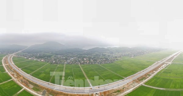
The route length is about 20.2km. Route direction: determined in accordance with the Capital's General Construction Plan, the Capital's Transport Plan and approved urban subdivision plans N2, N3, N5, N7, GN. Grade: urban main road.
Road cross-section scale: typical cross-section width B = 68m including components: main roadway 2x11.25m (6 lanes), service roadway 2x10.5m, sidewalks on both sides 2x8m and median strips, side dividers, safety strips...
At the section passing through the residential area of Thuong Phuc village, Bac Hong commune, the sidewalk adjacent to the railway station will be locally narrowed to 4m, the cross-section width of road B = 64m (the cross-section components of the road remain unchanged) to minimize the impact on the existing residential area. The specific cross-section components will be determined precisely according to the road construction investment project approved by the competent authority.
Intersections: Along the route, 5 asterisk-shaped interchanges are identified, complete with cross-roads including: new National Highway 3, old National Highway 3, Vo Nguyen Giap Street, Vo Van Kiet Street and Ring Road 4;
At the intersection of the Hanoi - Lao Cai and Bac Hong - Van Dien national railways, a direct overpass is arranged to ensure traffic safety at the intersection between the railway and the road (the scale of the road cross-section remains unchanged); The remaining intersections are level intersections, preliminarily determined on the basis of the road network according to the approved planning.
Specifically, it will be further studied and accurately determined during the process of making detailed plans for both sides of the route or the investment project for the cross-road route approved by competent authorities.
The City People's Committee assigned the Department of Planning and Architecture to check and confirm the plan drawings and route locations according to the approval decision of the City People's Committee.
Hanoi Institute of Construction Planning: presides over and coordinates with the People's Committees of Dong Anh and Me Linh districts and relevant agencies to organize the public announcement of the approved route plan and route location documents so that relevant organizations and individuals can know and implement;
Hand over the approved route plan and location documents to the People's Committees of Dong Anh and Me Linh districts to serve planning management work; Organize the preparation and submission for approval of the design documents for marking the boundary of the route section from Vo Van Kiet Street to Ring Road 4 according to the regulations.
People's Committees of Dong Anh and Me Linh districts and People's Committees of related communes and towns: strictly manage land and construction order on both sides of the road according to the approved planning, route plan and location.
Source: https://kinhtedothi.vn/ha-noi-phe-duyet-phuong-an-tuyen-vi-tri-tuyen-duong-vanh-dai-3.html


![[Photo] General Secretary To Lam chairs the third meeting to review the implementation of Resolution No. 18-NQ/TW](https://vstatic.vietnam.vn/vietnam/resource/IMAGE/2025/4/14/10f646e55e8e4f3b8c9ae2e35705481d)
![[Photo] General Secretary and President of China Xi Jinping arrives in Hanoi, starting a State visit to Vietnam](https://vstatic.vietnam.vn/vietnam/resource/IMAGE/2025/4/14/9e05688222c3405cb096618cb152bfd1)


![[Photo] Opening of the 44th session of the National Assembly Standing Committee](https://vstatic.vietnam.vn/vietnam/resource/IMAGE/2025/4/14/03a1687d4f584352a4b7aa6aa0f73792)


Comment (0)