
The route is located in Ta Thanh Oai commune, Thanh Tri district. The starting point of the route intersects with the road connecting Ta Thanh Oai road with the road connecting road 70 running along Hoa Binh river.
The end point of the route intersects with Ta Thanh Oai - Dai Ang - Lien Ninh route. The route is about 2.7km long, 25m wide, 4 lanes.

The newly opened route will help local people have more travel options. Illustration photo.
The Hanoi People's Committee assigned the Department of Planning and Architecture to check and confirm the project documents and location of the Ta Thanh Oai axis road, scale 1/500, in accordance with the content of this decision.
Thanh Tri District People's Committee presides over and coordinates with the Department of Planning and Architecture and related units to organize the announcement and handover of the project documents and location of the Ta Thanh Oai axis road approved by the Hanoi People's Committee to the Ta Thanh Oai Commune People's Committee to manage the construction planning along both sides of the road.
Deploying road boundary markers according to the planning at the same time as carrying out land acquisition and site clearance (during the implementation of the road investment project) to avoid waste and overlap in boundary marker placement work.
Thanh Tri District People's Committee and Ta Thanh Oai Commune People's Committee are assigned by the City People's Committee to be responsible for organizing the management of boundary markers and construction order of works along both sides of the road according to the red line and approved boundary markers. Inspect and handle cases of planning violations according to authority and regulations of law.
Source: https://www.baogiaothong.vn/ha-noi-sap-co-them-tuyen-duong-rong-4-lan-xe-dai-27km-192240922083619042.htm


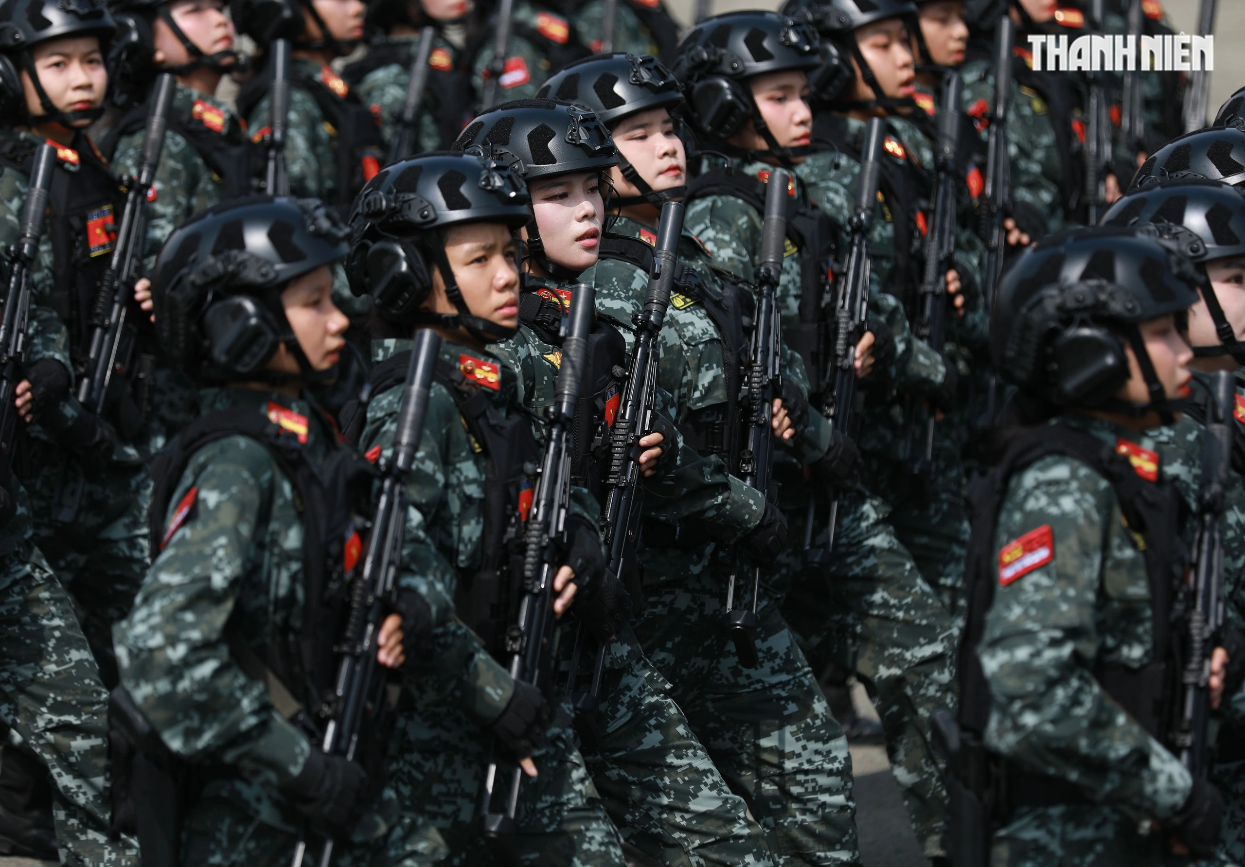
![[Photo] "Beauties" participate in the parade rehearsal at Bien Hoa airport](https://vstatic.vietnam.vn/vietnam/resource/IMAGE/2025/4/11/155502af3384431e918de0e2e585d13a)


![[Photo] Summary of parade practice in preparation for the April 30th celebration](https://vstatic.vietnam.vn/vietnam/resource/IMAGE/2025/4/11/78cfee0f2cc045b387ff1a4362b5950f)
![[Photo] Looking back at the impressive moments of the Vietnamese rescue team in Myanmar](https://vstatic.vietnam.vn/vietnam/resource/IMAGE/2025/4/11/5623ca902a934e19b604c718265249d0)


Comment (0)