
According to the National Center for Hydro-Meteorological Forecasting, today's weather forecast shows that the North, Central and South East Sea (including the waters of Hoang Sa and Truong Sa archipelagos), Bac Bo Gulf, and the waters from Quang Tri to Quang Ngai, Ca Mau to Kien Giang will have showers and thunderstorms.
The sea area from Khanh Hoa to Binh Thuan, the western sea area of the South East Sea (including the western sea area of Truong Sa archipelago) has strong southwest wind level 6, gusting to level 7-8; rough sea. Waves are 2.0-3.0m high.
During the day and night of July 17, in the sea area from Ba Ria-Vung Tau to Ca Mau, the sea area southwest of the Central East Sea area, there will be strong southwest winds at level 5, sometimes level 6, gusting to level 7-8; waves 2.0-3.0m high; rough seas.
The North, Central and South East Sea (including the waters of Hoang Sa and Truong Sa archipelagos), the Gulf of Tonkin, the waters from Quang Tri to Quang Ngai, Binh Thuan to Ca Mau, Ca Mau to Kien Giang will have showers and strong thunderstorms. During thunderstorms, there is a possibility of tornadoes and strong gusts of wind of level 7-8.
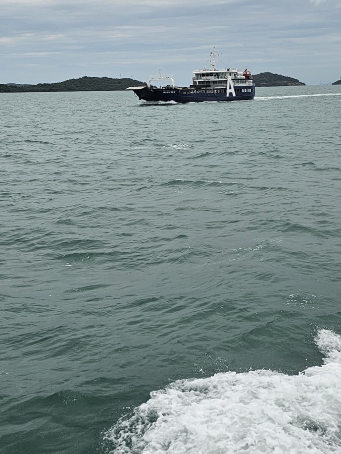
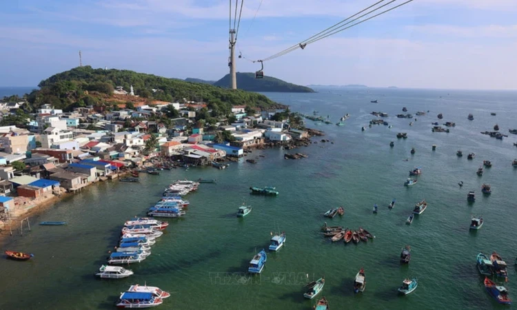
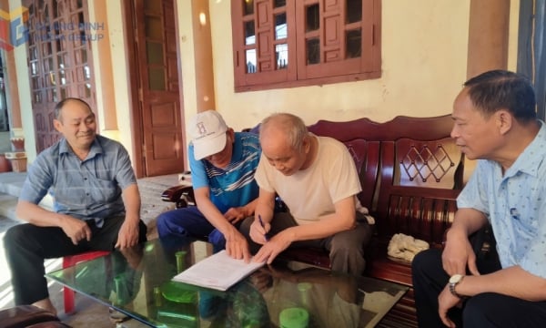
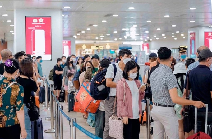
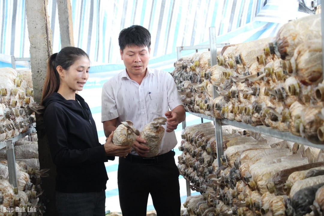
Many passengers were quite surprised when the high-speed trains and ferries to Phu Quoc stopped running, because yesterday afternoon the authorities had allowed normal operations to resume. Yesterday, more than 700 tourists who had been stuck for 3 days on Nam Du Island (Kien Hai District) due to bad weather were brought to the mainland.
Source: https://kinhtedothi.vn/gio-giat-cap-7-tau-pha-tuyen-phu-quoc-lai-ngung-hoat-dong.html
![[Photo] General Secretary To Lam receives French Ambassador to Vietnam Olivier Brochet](https://vstatic.vietnam.vn/vietnam/resource/IMAGE/2025/4/17/49224f0f12e84b66a73b17eb251f7278)
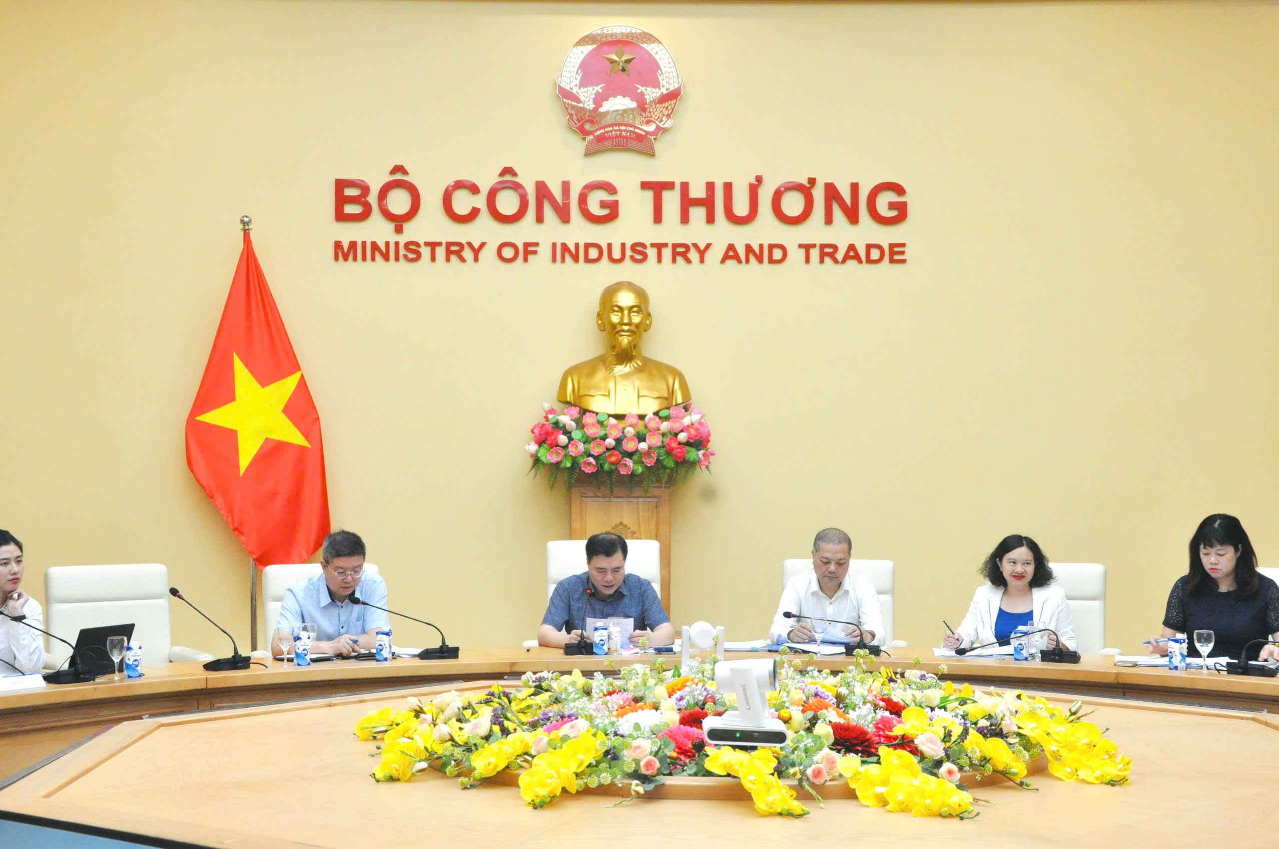
![[Photo] National Assembly Chairman Tran Thanh Man meets with outstanding workers in the oil and gas industry](https://vstatic.vietnam.vn/vietnam/resource/IMAGE/2025/4/17/1d0de4026b75434ab34279624db7ee4a)
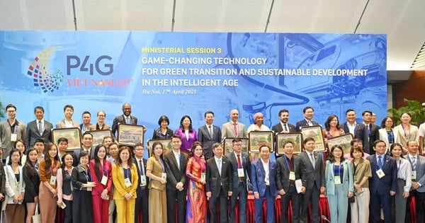
![[Photo] Closing of the 4th Summit of the Partnership for Green Growth and the Global Goals](https://vstatic.vietnam.vn/vietnam/resource/IMAGE/2025/4/17/c0a0df9852c84e58be0a8b939189c85a)
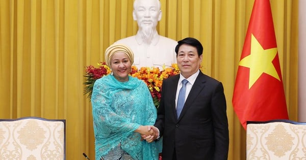
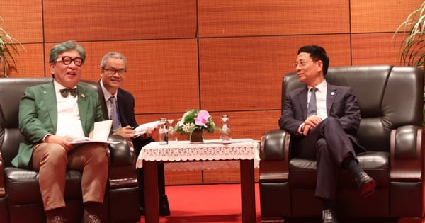
![[Photo] Promoting friendship, solidarity and cooperation between the armies and people of the two countries](https://vstatic.vietnam.vn/vietnam/resource/IMAGE/2025/4/17/0c4d087864f14092aed77252590b6bae)
![[Photo] Nhan Dan Newspaper announces the project "Love Vietnam so much"](https://vstatic.vietnam.vn/vietnam/resource/IMAGE/2025/4/17/362f882012d3432783fc92fab1b3e980)


![[Photo] Welcoming ceremony for Chinese Defense Minister and delegation for friendship exchange](https://vstatic.vietnam.vn/vietnam/resource/IMAGE/2025/4/17/fadd533046594e5cacbb28de4c4d5655)


![[Video] Viettel officially puts into operation the largest submarine optical cable line in Vietnam](https://vstatic.vietnam.vn/vietnam/resource/IMAGE/2025/4/17/f19008c6010c4a538cc422cb791ca0a1)


Comment (0)