

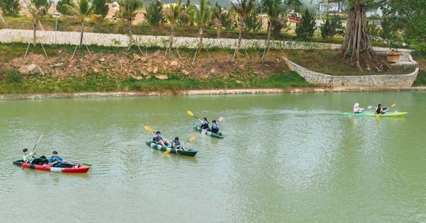
A corner of Bai Ngu, An Son commune (Kien Hai).
Decision No. 3075/QD-UBND, dated November 22, 2024 of the People's Committee of Kien Giang province on approving the construction planning project of Kien Hai district until 2045, scale 1/10,000 and Decision No. 574/QD-UBND, dated February 28, 2025 on approving the land use plan for 2025 of Kien Hai district.
The People's Committee of Kien Giang province approved the construction planning project of Kien Hai district until 2045, with the scope of research and planning including the entire administrative boundary of Kien Hai district with an area of about 24.75 km 2 (about 2,474.91 ha) and the sea surface area around the island communes of Hon Tre, Lai Son, An Son and Nam Du. The entire Kien Hai district has 4 administrative units including the island communes of Hon Tre, Lai Son, An Son and Nam Du.
The total planning area of Kien Hai district is about 334,998.22 hectares (about 3,349.98 km 2 ), including the island area of about 2,474.91 hectares (24.75 km 2 ); the reclaimed sea area, artificial island is about 352 hectares (3.52 km 2 ); the sea surface area is about 332,171.31 hectares (3,321.71 km 2 ). The current population of the whole district is 18,209 people (in 2024).
Deputy Secretary of the District Party Committee, Chairman of the People's Committee of Kien Hai District Nguyen Quoc Tuan said that the construction planning project of Kien Hai district is a legal basis of special importance for the development of the district; is an important premise and basis for arranging space, attracting investment, allocating resources, in order to exploit and maximize potentials and strengths to realize the goal of developing Kien Hai district quickly, comprehensively and sustainably in the future. ..
News and photos: THANH DU
Source: https://www.baokiengiang.vn/trong-tinh/cong-bo-do-an-quy-hoach-xay-dung-vung-huyen-kien-hai-25535.html
![[Photo] Promoting friendship, solidarity and cooperation between the armies and people of the two countries](https://vstatic.vietnam.vn/vietnam/resource/IMAGE/2025/4/17/0c4d087864f14092aed77252590b6bae)
![[Photo] President Luong Cuong receives Kenyan Defense Minister Soipan Tuya](https://vstatic.vietnam.vn/vietnam/resource/IMAGE/2025/4/17/0e7a5185e8144d73af91e67e03567f41)
![[Photo] Warm meeting between the two First Ladies of the Prime Ministers of Vietnam and Ethiopia with visually impaired students of Nguyen Dinh Chieu School](https://vstatic.vietnam.vn/vietnam/resource/IMAGE/2025/4/17/b1a43ba73eb94fea89034e458154f7ae)
![[Photo] Prime Minister Pham Minh Chinh and Ethiopian Prime Minister visit Tran Quoc Pagoda](https://vstatic.vietnam.vn/vietnam/resource/IMAGE/2025/4/17/18ba6e1e73f94a618f5b5e9c1bd364a8)
![[Photo] Welcoming ceremony for Chinese Defense Minister and delegation for friendship exchange](https://vstatic.vietnam.vn/vietnam/resource/IMAGE/2025/4/17/fadd533046594e5cacbb28de4c4d5655)
![[Photo] General Secretary To Lam receives French Ambassador to Vietnam Olivier Brochet](https://vstatic.vietnam.vn/vietnam/resource/IMAGE/2025/4/17/49224f0f12e84b66a73b17eb251f7278)


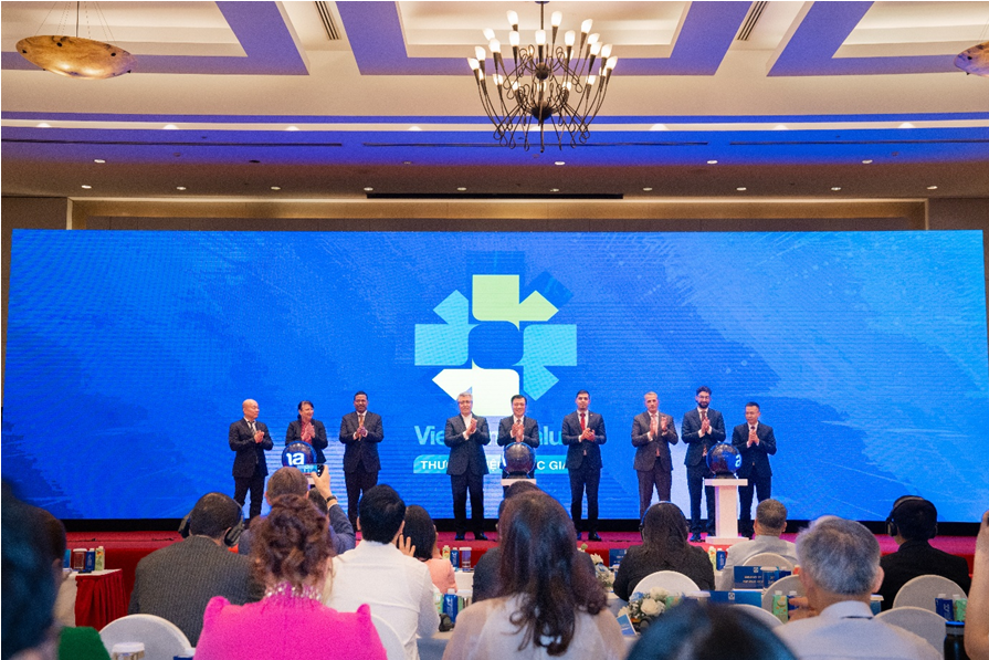
![[Video] Viettel officially puts into operation the largest submarine optical cable line in Vietnam](https://vstatic.vietnam.vn/vietnam/resource/IMAGE/2025/4/17/f19008c6010c4a538cc422cb791ca0a1)


Comment (0)