The 33km-long Tay Thang Long route is being accelerated to urgently complete the connection and development of the western area of Hanoi.
According to the Master Plan for Hanoi Capital Construction to 2030 and Vision to 2050 approved by the Prime Minister, Tay Thang Long route is the main traffic axis connecting the West West Lake area and the North of Thang Long bridge with Son Tay Urban Area.
The project starts at the intersection with Vo Chi Cong Street (Ring Road 2); ends at National Highway 32, Son Tay Town. Total route length is 33.18km (Tay Ho 300m; Bac Tu Liem 8.56km; Dan Phuong 10km; Phuc Tho 13.4km; Son Tay 920m).
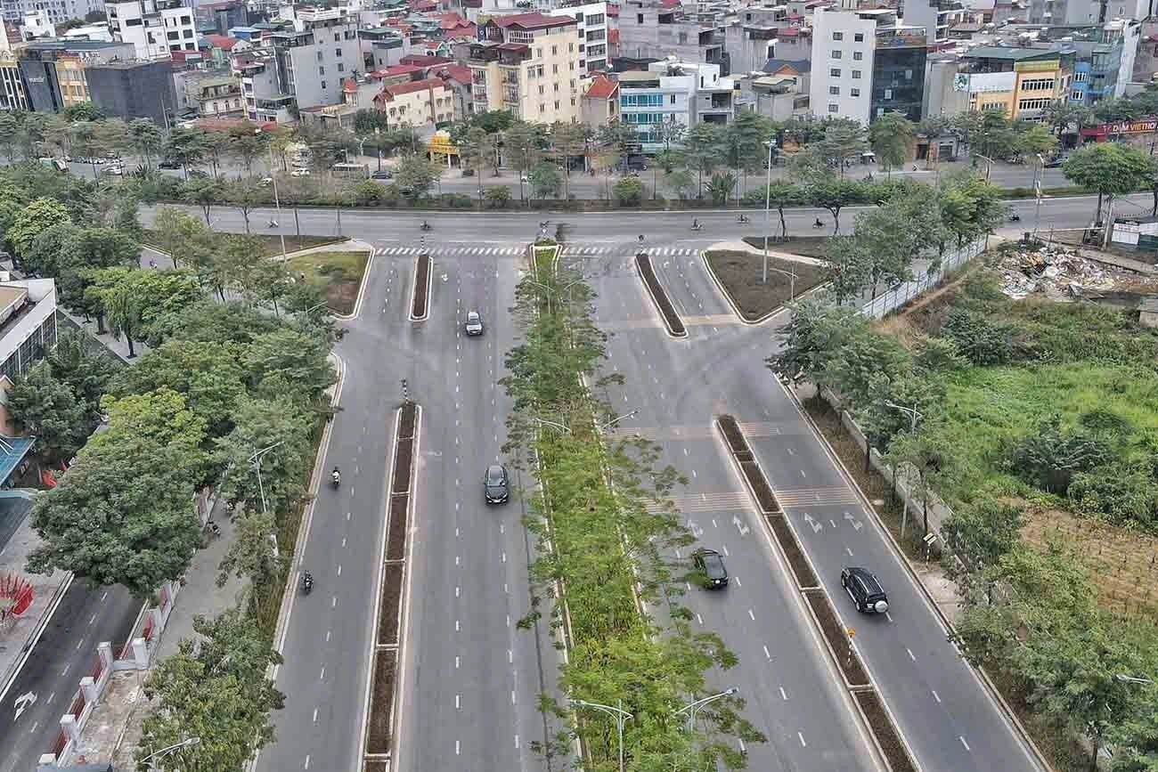
The West Thang Long route from Vo Chi Cong to Pham Van Dong with a length of about 2km has completed construction investment.
Up to now, according to the Hanoi Department of Transport, 6.04km has been completed according to the planning; 9.04km is under research project for construction investment; 18.1km has no investment research project.
Currently, 4 sections have been invested and completed according to the plan (6.04km): 1 section in Tay Ho district, 300m long; 2 sections in Bac Tu Liem district, 4.82km long; 1 section in Son Tay town, 920m long.
Two sections are being invested and implementing investment procedures (9.04km), including one section in Bac Tu Liem district, with a length of 3.24km (from Van Tien Dung to Pham Van Dong); one section in Dan Phuong district, with a length of 5.8km (from Ring Road 3.5 to Dan Hoai canal).
Three sections of the route have no investment projects (18.1km): 1 section in Bac Tu Liem with a length of 500m (underpass at different levels with Pham Van Dong street); 1 section in Dan Phuong district with a length of 4.2km (section from Dan Hoai canal to La Thach dike); 13.4km in Phuc Tho district.
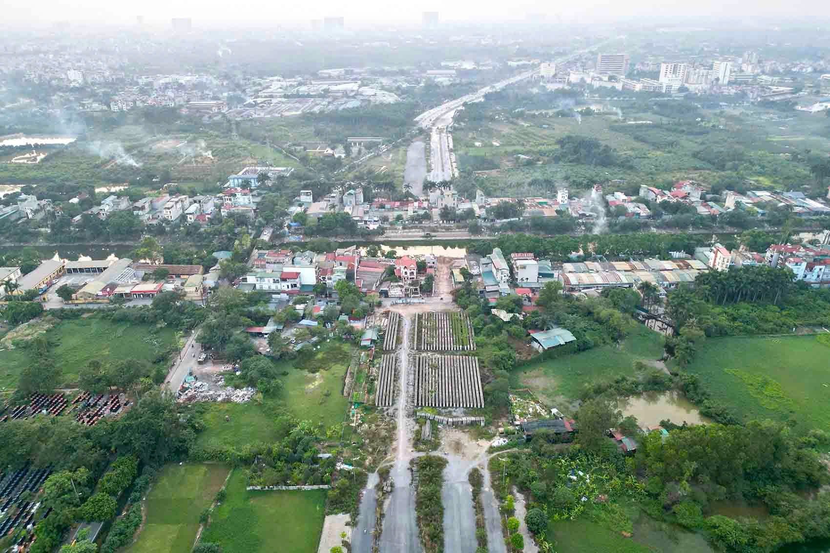
The section from Pham Van Dong to Van Tien Dung streets is under construction with a length of 3.2km.
According to the Hanoi People's Committee, the sections on Tay Thang Long Street, when completed, will form a vital and smooth axis connecting the West Lake area to Son Tay town, connecting inter-regional traffic.
These routes also connect with the city's planned roads to reduce the load on National Highway 32, facilitating people's travel as well as promoting the capital's socio-economic development.
Source: https://www.baogiaothong.vn/tien-do-tuyen-duong-10-lan-xe-noi-tay-ho-tay-voi-son-tay-192241115084510983.htm




















Comment (0)