
Weather forecast for Christmas and New Year 2025, the North will have cold nights and mornings, light sunshine during the day; while the Central, Central Highlands and Southeast regions are likely to have heavy rain.
On the afternoon of December 22, the National Center for Hydro-Meteorological Forecasting updated the latest weather developments for Christmas and New Year 2025 across the country.
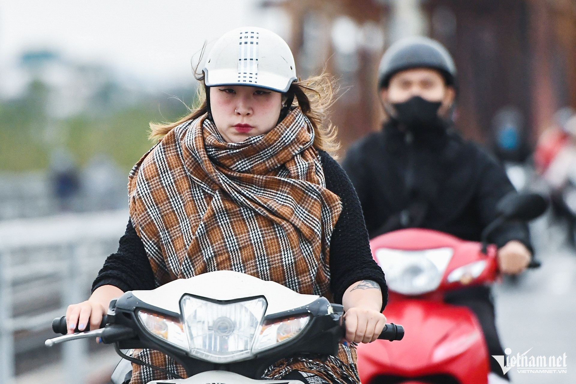
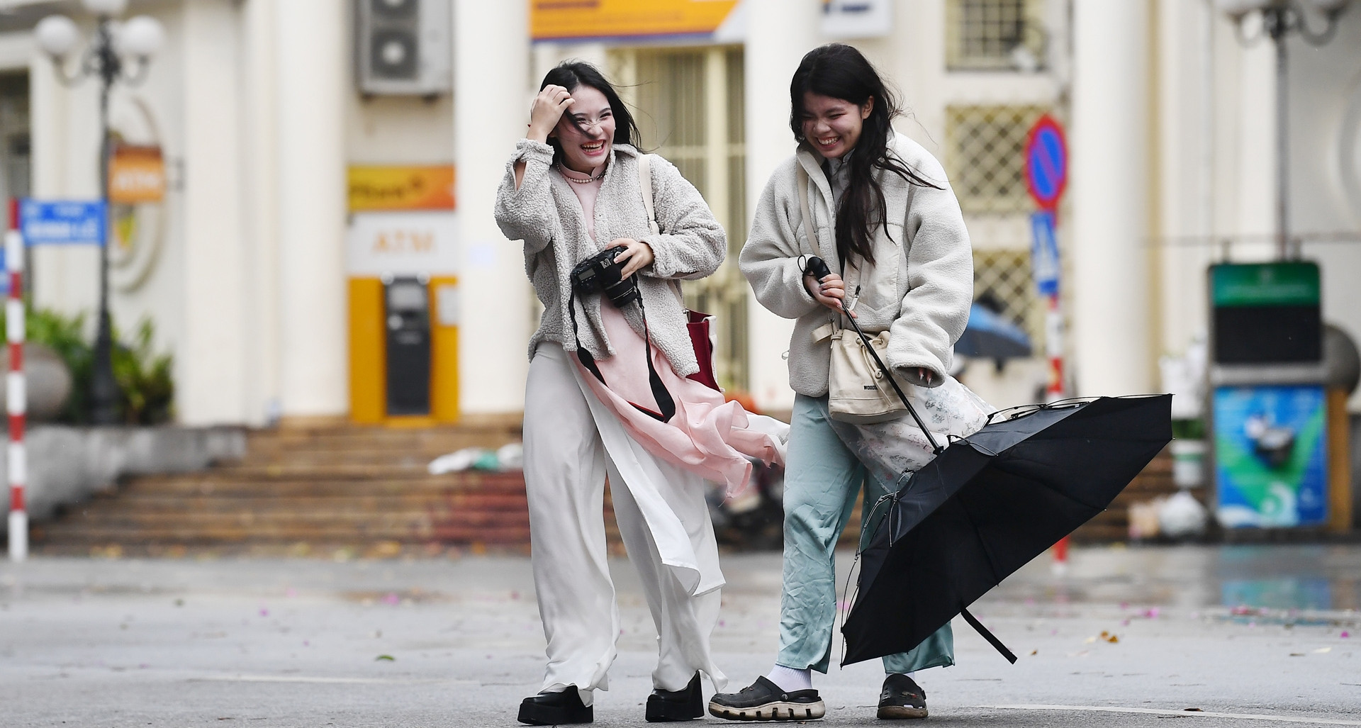
Accordingly, from December 24 to 25, the northern provinces will have cloudy nights, fog and light fog in the early morning, and sunny days.
During this time, night and morning temperatures in the midlands and northern mountainous areas are generally between 10-13 degrees Celsius, and in the Northern Delta from 14-16 degrees; daytime temperatures range from 20-23 degrees. From the night of December 25, the area will have scattered rain and light rain.

Notably, during this time, the Central and South Central regions and the Central Highlands provinces are likely to experience moderate to heavy rain; the Southern region will have showers and thunderstorms concentrated in the Eastern provinces.
As for Hanoi's weather, on December 24-25, it will remain cloudy, no rain, sunny in the afternoon; temperature on December 24 will be around 14-21 degrees, on December 25 it will increase slightly to 15-22 degrees.
On the occasion of New Year 2025, the Northern and North Central regions will have cloudy nights and mornings, with fog and light fog in the early morning; sunny in the afternoon. Night and morning temperatures in the midlands and mountainous regions of the North are generally 11-14 degrees Celsius, in the Northern Delta and North Central regions from 14-17 degrees Celsius; daytime temperatures from 20-23 degrees Celsius.
In early January 2025, the Central Central region will have showers, concentrated at night and in the morning. Meanwhile, the South Central, Central Highlands and Southern regions will generally have little rain and sunny days.
Heavy rain in Central region on Christmas
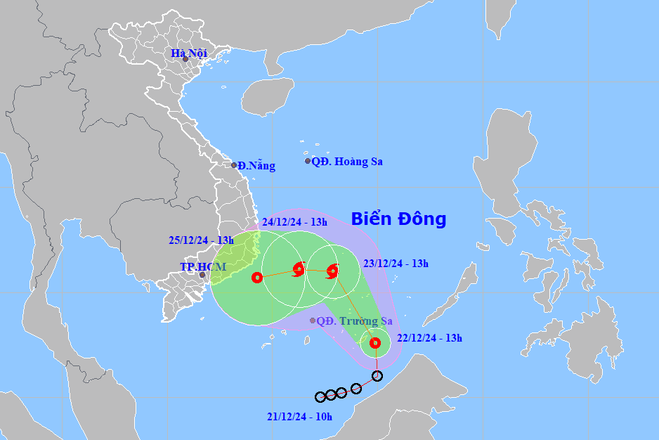
In a more specific forecast about heavy rain in the Central region, the hydrometeorological agency said that currently (December 22), there will be localized showers and thunderstorms in the Central and South Central regions.
From the night of December 23 to December 24, in the area from Da Nang to Khanh Hoa, there will be moderate rain, heavy rain, locally very heavy rain and thunderstorms with common rainfall from 30-80mm, locally over 200mm.
In the early morning and on December 24, this rain spread to the Eastern Central Highlands, with rainfall from 15-40mm, locally over 70mm.
On the night of December 24 and December 25, in the Central and South Central regions, the Eastern Central Highlands will continue to have moderate rain, heavy rain, locally very heavy rain and thunderstorms with rainfall of 50-100mm, locally over 200mm, especially in the Eastern Central Highlands 30-60mm, locally over 120mm. From December 26, heavy rain is likely to gradually decrease. During thunderstorms, there is a possibility of tornadoes, lightning and strong gusts of wind.
In the Central region, on December 24, the temperature in the north is 15-21 degrees; in the south, 19-27 degrees; in Ninh Thuan - Binh Thuan, 24-28 degrees. On December 25: in the north, 16-22 degrees; in the south, 20-28 degrees, some places above 28 degrees.
In the South, the temperature on December 24 fluctuated between 20-28 degrees; on December 25 it increased slightly by 1 degree. The temperature in the Central Highlands ranged between 18-27 degrees.
Cold air is active, there is a possibility of many severe cold spells in the first month of the year.

Weather forecast for the next 10 days: Cold air increases, the North is still cold at 10 degrees
Tropical depression in the East Sea is about to strengthen into storm number 10
Source: https://vietnamnet.vn/thong-tin-moi-nhat-thoi-tiet-dip-noel-va-tet-duong-lich-tren-ca-nuoc-2355294.html


Comment (0)