
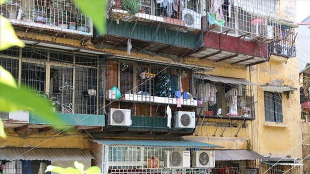
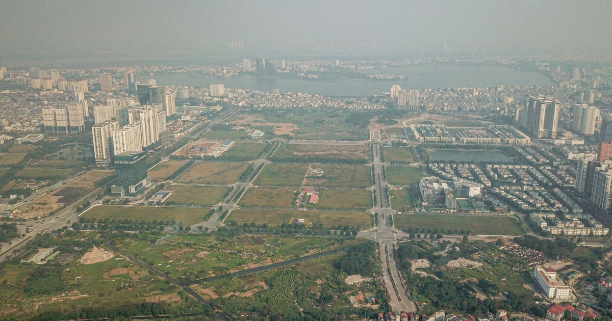
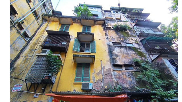
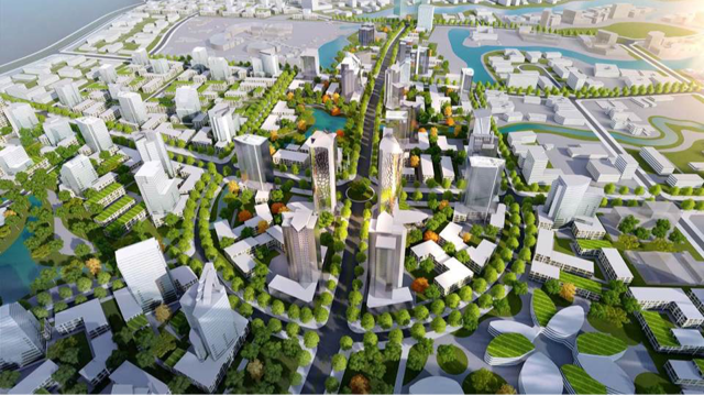
Accordingly, the land area for research and development of the Detailed Plan for renovation and reconstruction of Trung Tu Collective Housing Area and surrounding areas, scale 1/500, is located within the administrative boundaries of Trung Tu and Phuong Lien wards, Dong Da district, Hanoi.
The Northeast of the land borders the existing residential area; the Southeast coincides with the center of Pham Ngoc Thach street; the Northwest borders Nam Dong lake and Trung Tu Diplomatic Corps area; the Southwest: Borders the red line southwest of Dang Van Ngu street.
The total area of the research area for the detailed planning is about 13.2 hectares. (The scale of the planning area will be determined precisely during the research process for the detailed planning project at a scale of 1/500, ensuring no project overlap, and synchronization of technical infrastructure and social infrastructure according to the approved H1-3 urban subdivision planning).
The population size in the Detailed Planning Project for Renovation and Reconstruction of Trung Tu Collective Area and its vicinity is basically consistent with the approved Urban Zoning Plan and will be accurately determined during the research process to establish the Detailed Planning Project at a scale of 1/500 based on the results of the survey and assessment of the actual population status, ensuring that the current population does not increase and that the pressure on the technical infrastructure and social infrastructure systems in the area is not increased.
Source: https://kinhtedothi.vn/quy-hoach-cai-tao-xay-dung-lai-khu-tap-the-trung-tu-va-phu-can.html


Comment (0)