
Bu Gia Map National Park is located in the Northeast of Binh Phuoc province, in Bu Gia Map commune, Bu Gia Map district, Binh Phuoc province, at the northernmost position of the province. The east of this national park is Dak Nong province, the northwest is the Vietnam - Cambodia border. Coordinates from 12*08'30" North latitude, and from 107*03'30" to 107*14'30" East longitude.
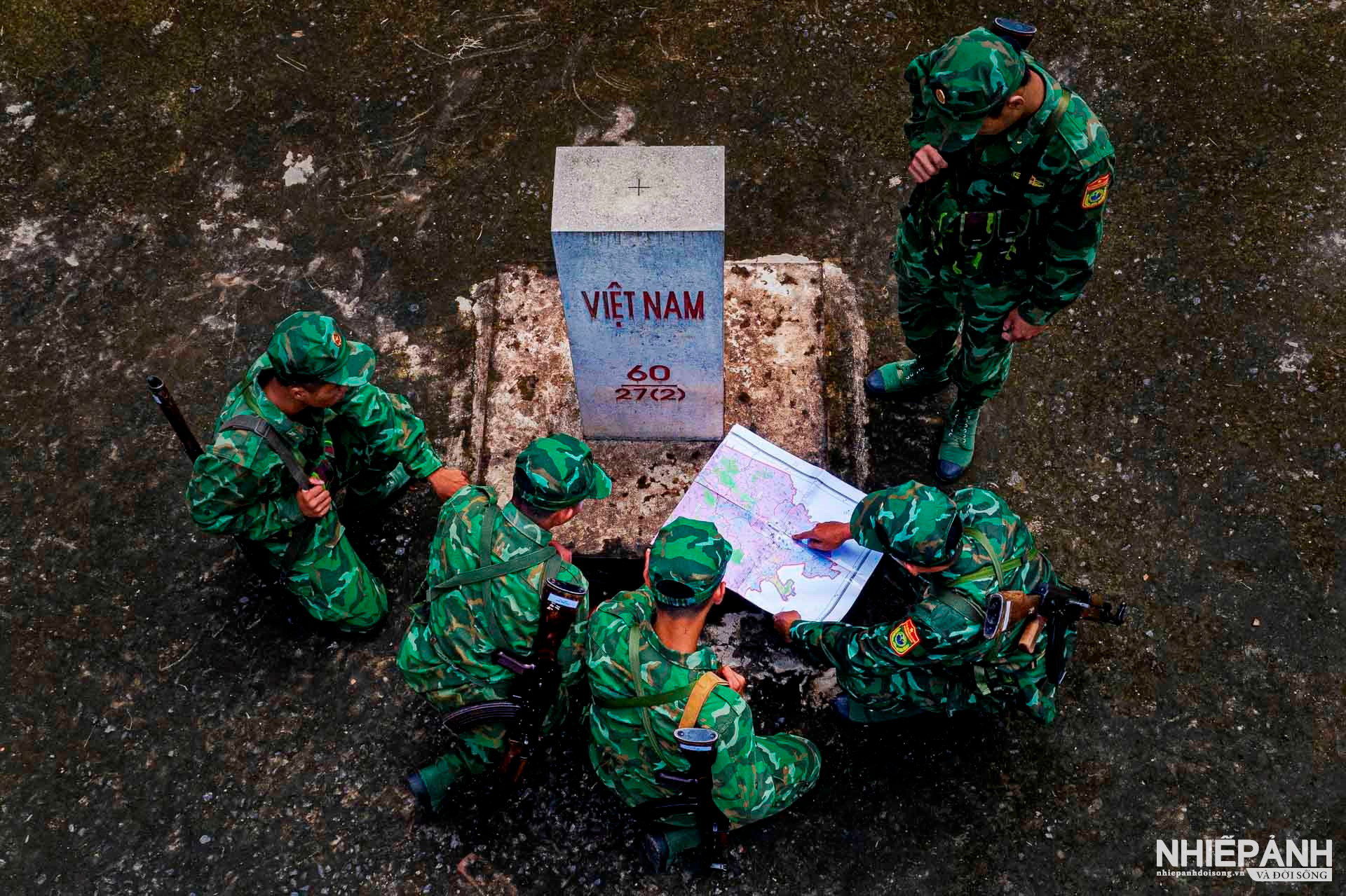
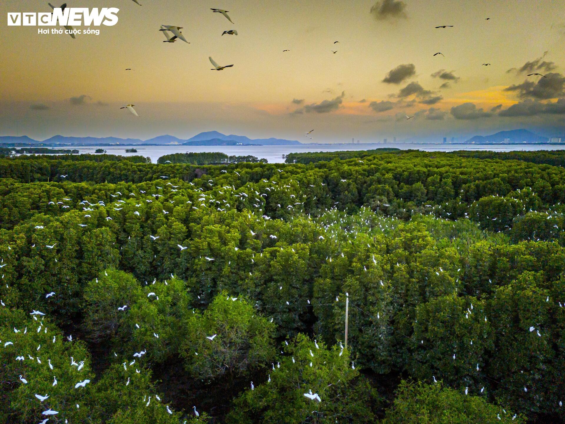
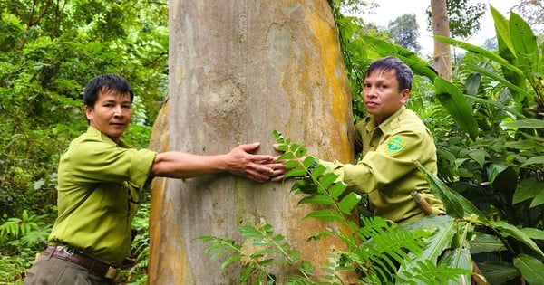
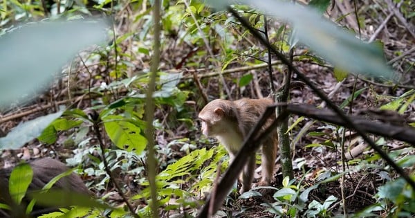
Being a place with immense primeval forest resources, precious wood clusters such as rosewood, red wood and precious medicinal herbs. However, to preserve these vast forests is a fierce and complicated "battle" without the support and coordination of the Forest Protection Department & Border Guard and Bu Gia Map National Park Management Board, regardless of the sun or rain, working hard day and night, patrolling regardless of wind or rain, facing many difficulties and challenges to protect the "green lungs" of the country as it is today.
The photo series "Green Shield at the Border of Bu Gia Map National Park" by artist Le Hoang Men (HCMC) won the Bronze Medal - Outstanding Photography Award 2023 of the Vietnam Association of Photographic Artists. Photography and Life Magazine would like to introduce it to our readers.
Source link


Comment (0)