
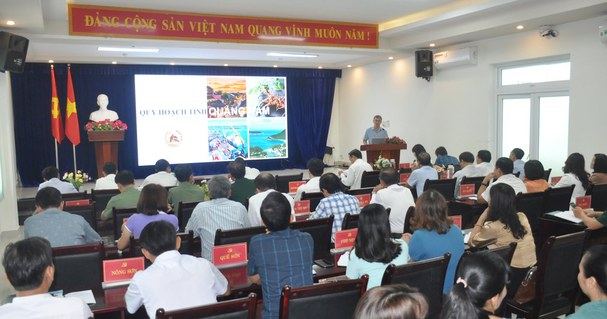
Review planning projects
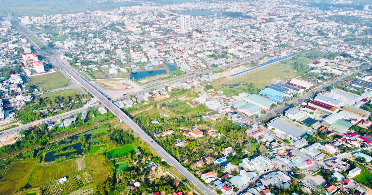
In 2014, the General Planning of Tam Ky City to 2030, with a vision to 2050, was approved. As of June 2024, Tam Ky has implemented the development of zoning plans; of which 8/12 zoning plans have been approved. Including: ecological agricultural zoning, industrial zoning, commercial service center zoning of the city...
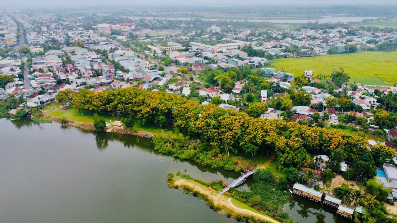
The city also added a framework infrastructure system to form a connecting axis of Nui Thanh - Tam Ky - Phu Ninh region; the main urban axis connecting the Northwest urban area and Le Thanh Tong; the Tam Ky - Tam Xuan landscape axis; including Song Dam lake in the planning of biodiversity conservation area; drainage channel from Song Dam lake to Truong Giang river...
According to the People's Committee of Tam Ky City, after 10 years of implementation, the city's master plan is having certain impacts and changes that need to be adjusted and supplemented to ensure it is consistent with the current situation and new development trends.
Planning joints
According to the report of the People's Committee of Nui Thanh district in the period of 2026 - 2030, it is expected to merge Tam Ky city and Nui Thanh district into a new administrative unit, oriented to develop into a type 1 urban area, leading to changes in the spatial structure of urban development.
Therefore, Nui Thanh will calculate and adjust the urban land use structure appropriately, creating a shift in the urban center system, increasing the attractiveness and development momentum of the Tam Ky - Nui Thanh merged urban area in the chain of coastal urban areas in the Central region.
To match the planning with Tam Ky, specifically for Vo Chi Cong Street, the locality will organize the space and landscape architecture on both sides of the road that are not yet synchronized in terms of road boundaries and land use structure along the route.
Regarding planning connections, Nui Thanh proposed that the Provincial People's Committee supplement the horizontal axis connection (North - South) from National Highway 40B Tam Ky - to Tam Anh Bac commune (Nui Thanh).
Agree on the policy of simultaneously adjusting the overall master plan of Nui Thanh urban area and adjusting the overall master plan of Chu Lai Open Economic Zone to submit to the Prime Minister for approval to save time and implementation costs.
Meanwhile, the Provincial Planning identifies Nui Thanh urban area as the commercial, service and financial center of Chu Lai Open Economic Zone. The district has a large natural land area (about 555.9 km 2 ). Of which, the area planned for urban development is more than 214.1 km 2 , the area within the boundary of Chu Lai Open Economic Zone is more than 314.3 km 2 .
However, the area ratio that has been planned to establish a 1/2,000 zoning plan within the boundary of the open economic zone of Nui Thanh district is very low, more than 67.1km2 (about 12.07%).
Areas outside the boundary of Chu Lai Open Economic Zone have not yet had a general plan (except for Tam Hai island commune which has been established and 6 suburban communes are organizing the establishment of a general plan at the commune level), 1/2,000 zoning.
In the process of organizing the implementation of the Chu Lai Open Economic Zone master plan and the Nui Thanh urban master plan, there have been some difficulties such as many projects not being in accordance with the master plan approved by the Prime Minister.
For example, the Cat Vang Chu Lai tourist area investment project phase 2 in Tam Tien commune; the Tam Hiep 220kV transformer station projects in Tam Anh Nam, Truong Hai 110kV transformer station. Or the Ben Van bridge project and the access road are not included in the master plan so they cannot be built. The master plan for Nui Thanh urban area has not calculated additional land fund for social housing development...
Activate investment projects
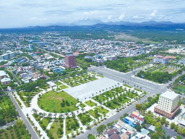
Tam Ky City has identified 19 priority project categories to attract investment in 2024, including 4 urban projects, including the mixed-use urban area on Nguyen Tat Thanh axis in An Phu ward, Tam Phu, Tam Thanh, Tam Thang communes with a scale of more than 746 hectares; Hoa Lang eco-village project, Tam Ngoc commune with an area of 80.6 hectares; An Ha hill park urban area, An Phu ward with an area of 174 hectares; multi-functional mixed-use urban area in Hoa Huong ward with a scale of 223 hectares.
The Prime Minister's Decision approving the Quang Nam Provincial Planning for the period 2021 - 2030, with a vision to 2050, requires all investment projects to be implemented in accordance with the contents of the planning; projects not included in the planning will not be implemented.
In 2024, the city agreed to clear the land for investment in 9 key project groups including Nguyen Hoang ring road, An Son bus station, road connecting residential area No. 6 to Tan Thanh new quarter, residential area group 10, An My ward, My Thach Trung residential area - resettlement, An Son embankment and residential area, school project group, Ho Xuan Huong road, socialized project group. Tam Ky also identified projects that must be completed in 2024 as well as provided a list of 10 projects that must complete investment preparation work this year.
In Nui Thanh, the current key task is to review and reorganize development space to suit the Provincial Planning, the general planning project of Chu Lai Open Economic Zone and Nui Thanh urban area.
Update the major goals and orientations in the Provincial Planning into the spatial development orientation and land use planning of the new urban master plan adjustment project of Nui Thanh, as well as the errors of the master plan project of Chu Lai Open Economic Zone.
Accordingly, the "bottlenecks" in the planning and land use plans on the eastern axis of Highway 1 will be gradually removed, focusing resources on realizing the planning.
That is to review the Northwest urban area of the airport; add investment in bridges across the river to increase traffic connections from Tam Nghia (Northwest urban area of the airport) to Tam Giang via Ben Van river; Tam Hiep (An Hoa bay urban area) to Tam Giang via An Tan river; from DT617B to Tam Hoa, connecting to the 50,000-ton port.
Also according to the proposal of the People's Committee of Nui Thanh district, additional investment will be made to build bridges across Tam Ky river, Cho river, Ben Van river, An Tan river, Truong Giang river... Connecting the horizontal axis (North - South) Tam Ky - Nui Thanh (to Tam Anh Bac); the vertical axis (East - West) connecting National Highway 1 from Tam Xuan 2 to Tam Tien beach.
In the west of National Highway 1, within the scope of Bac Chu Lai Industrial Park, investment will be made in connecting the road connecting Tam Hiep - Tam Anh Industrial Park and the National Highway 1 bypass through the urban center of Nui Thanh...
Source: https://baoquangnam.vn/hoa-chung-dong-chay-quy-hoach-dau-tu-3136892.html


Comment (0)