Hue urban appearance when becoming a centrally-governed city
Báo Lao Động•24/10/2024
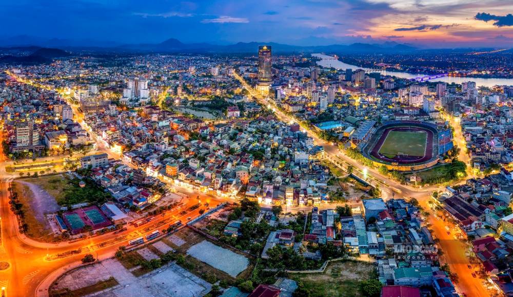
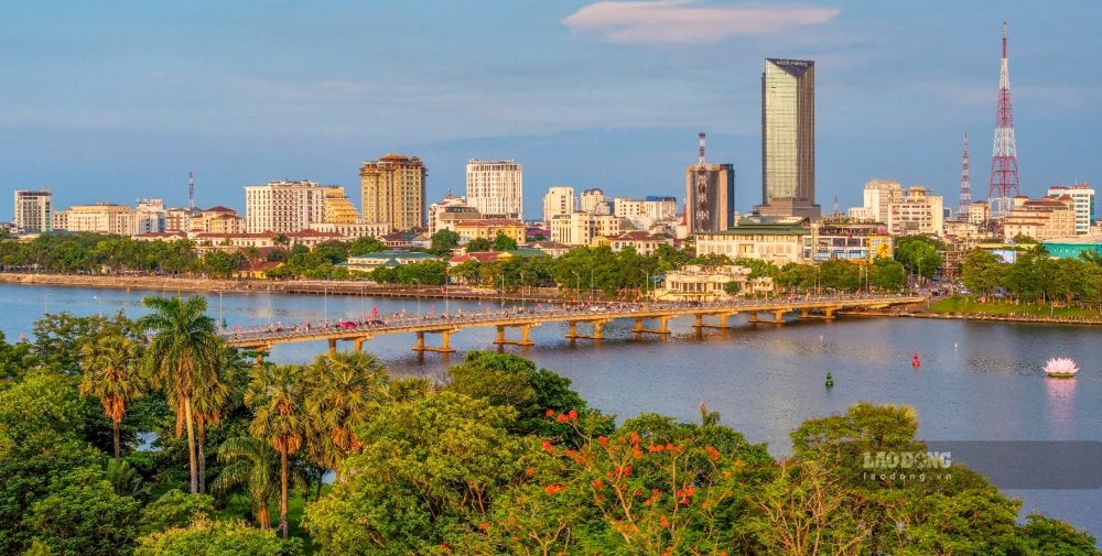
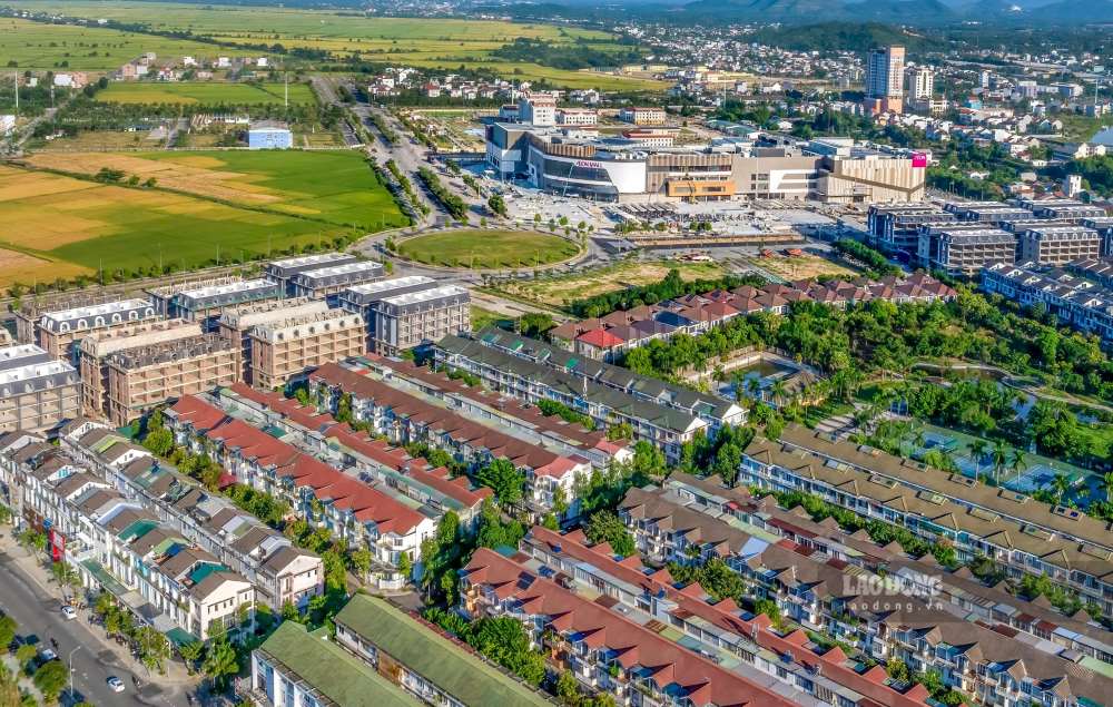
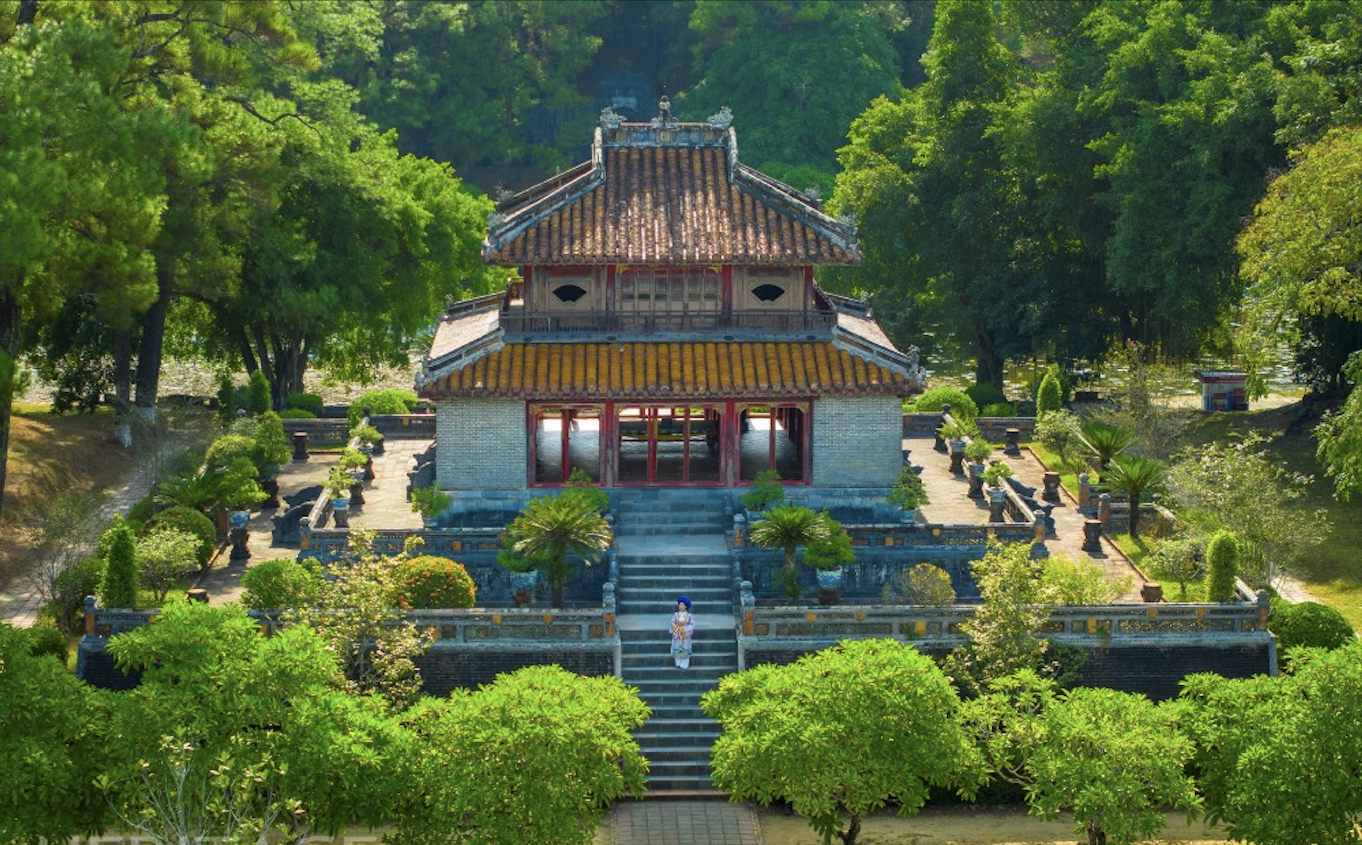
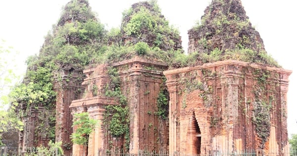
HUE - Hue city when it becomes a centrally-governed city will be a unique urban area in terms of ecology, landscape, environmental friendliness and intelligence.
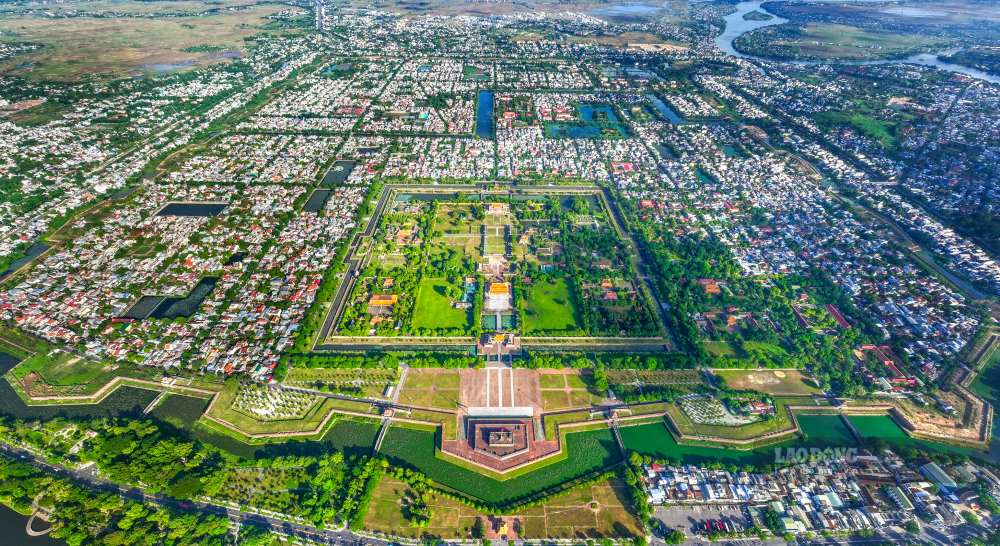
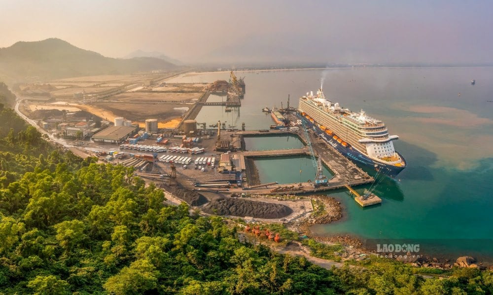
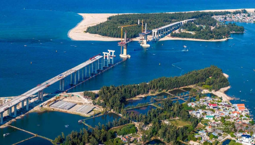
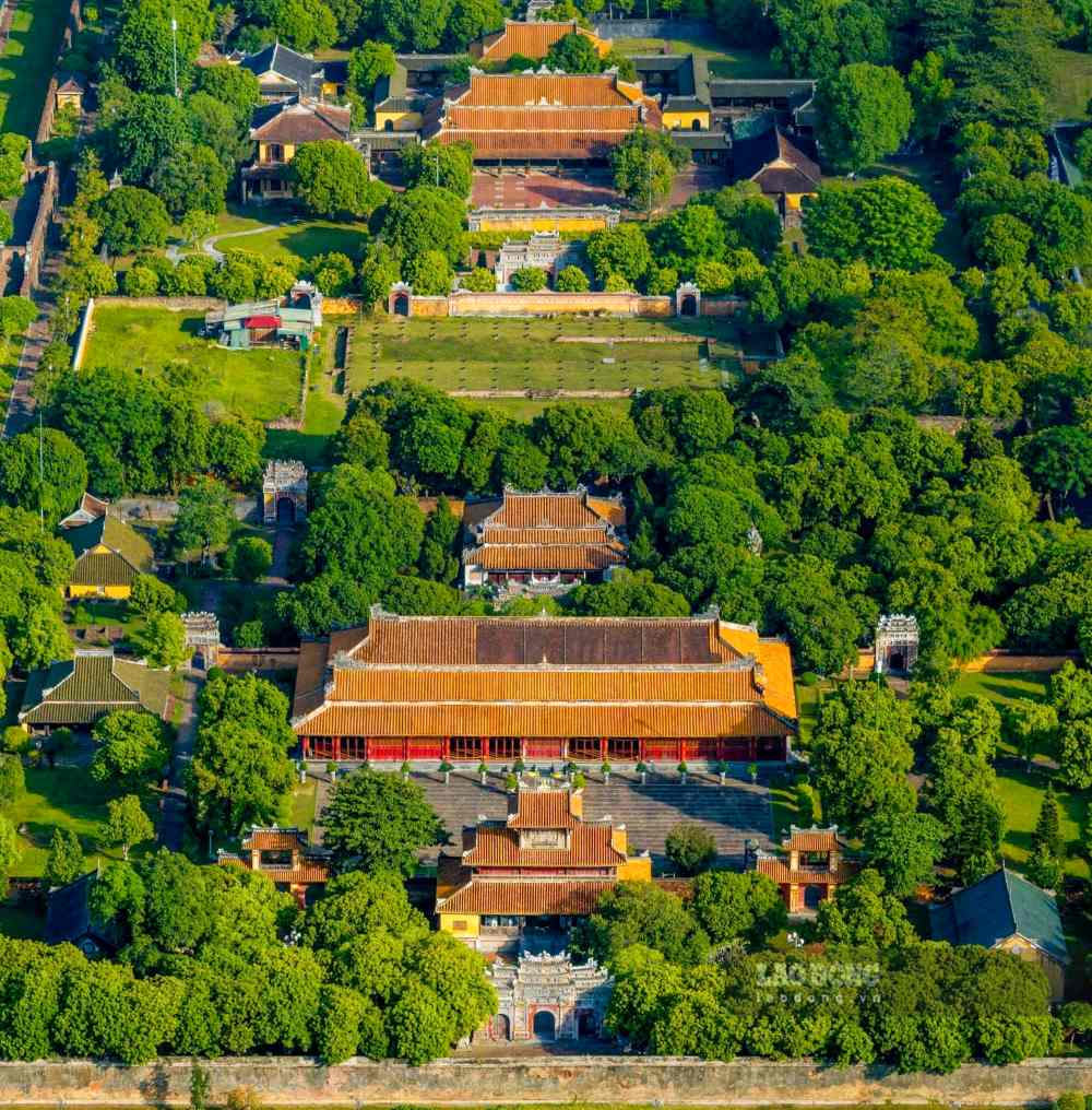
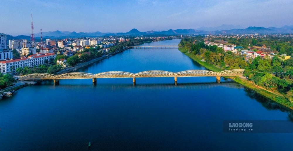
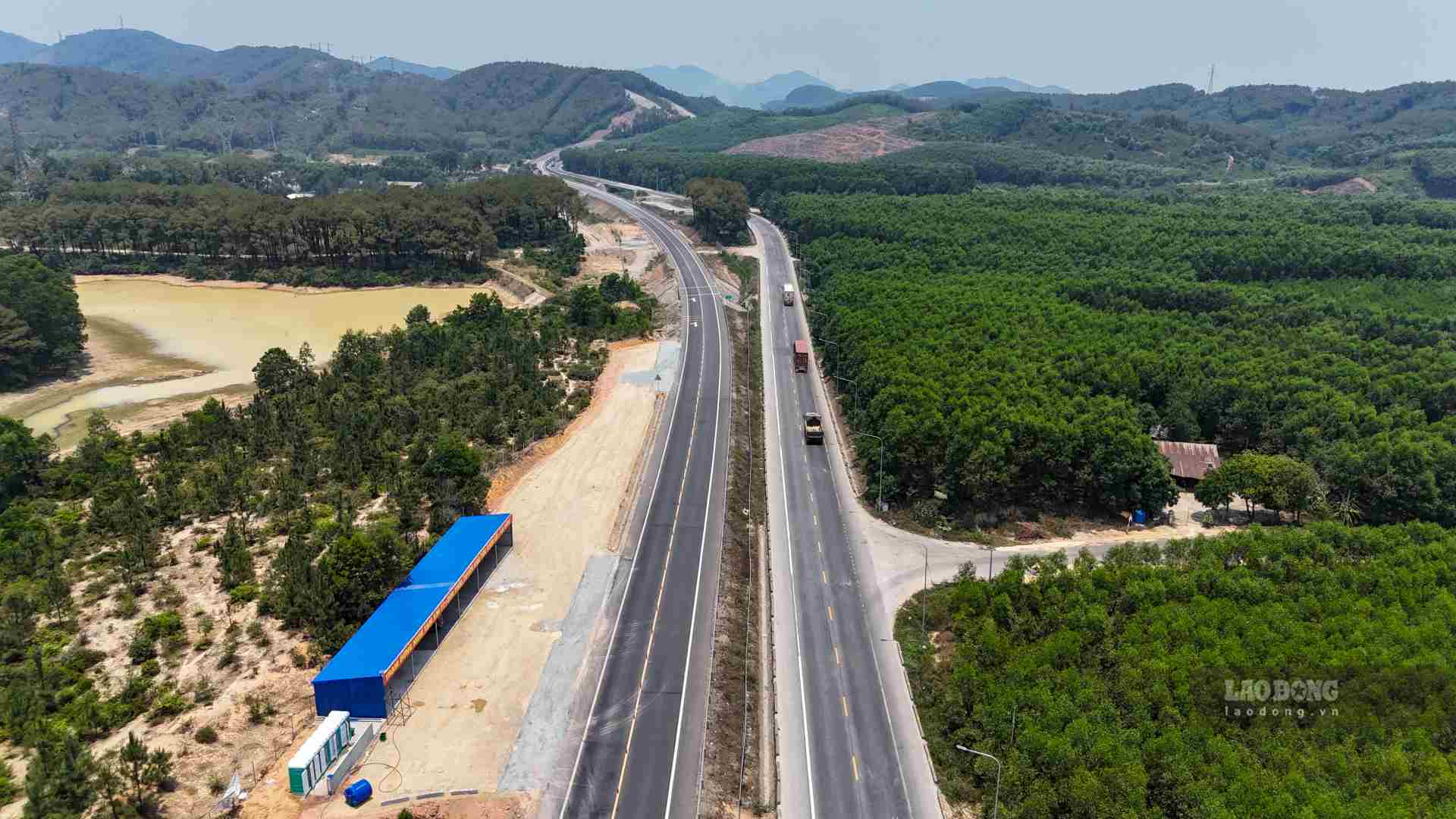
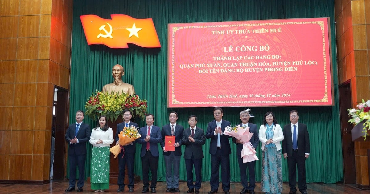
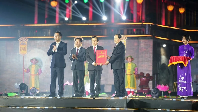
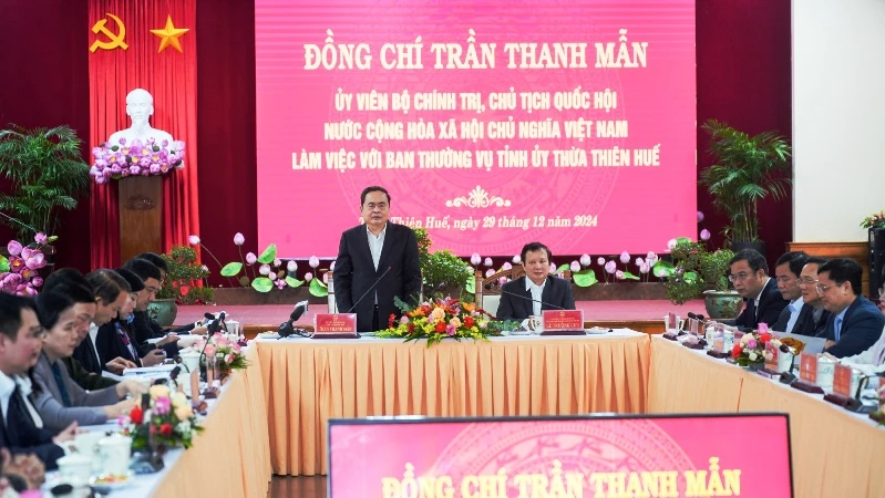
The 8th session of the 15th National Assembly is taking place and will end on November 30. The session will make many decisions on important issues of the country. For Thua Thien Hue voters, this session is highly anticipated, marking a "push" for Thua Thien Hue province to enter a new period when the National Assembly will consider and decide to establish Hue City under the Central Government. According to the planning approved by the Prime Minister, when it becomes a centrally-run city, Hue city is a type I urban area, a centrally-run city with special characteristics; an urban area developed on the basis of preserving and promoting the values of tangible and intangible cultural heritage of the ancient capital, Hue's cultural identity; an urban area with unique ecology, landscape, environmental friendliness and intelligence. Hue will be the growth pole of the Central region's dynamic region in terms of marine economy, tourism economy, a major center of the country in science - technology, specialized healthcare, multi-sector, multi-field, high-quality education and training; an international tourism center; a center for industrial development and the country's seaports; in which tourism is the spearhead economic sector, information technology and communications is the breakthrough, high-tech industry and agriculture are the foundation. The model and structure of Hue's urban space will develop according to the model of "A chain of urban areas along economic corridors and transport corridors combined with dynamic centers". The urban areas will be developed synchronously, playing a role in supporting socio-economic development, preserving and promoting the unique values of the ancient capital and the tangible and intangible cultural heritages recognized by the United Nations Educational, Scientific and Cultural Organization (UNESCO). The urban spatial structure includes: 1 synchronous heritage system, 2 ecological landscape spaces, 3 economic corridors, 3 urban development focal points and 4 development management zones, in accordance with the planning orientation of Thua Thien Hue province. In which, a heritage system includes: Cultural heritages recognized by UNESCO; national and provincial relics; archaeological heritages, notably the heritage associated with President Ho Chi Minh and the Ho Chi Minh trail in Thua Thien Hue; urban heritages, ancient towns and ancient villages, garden houses, and typical cultural and festival spaces. Two landscape ecological spaces include: The hill and mountain ecological space in the West of Thua Thien Hue province from Bach Ma to Nam Dong, A Luoi, Phong Dien and the Tam Giang - Cau Hai lagoon space combined with the coastal area. Linking the coastal space and the hill and mountain space through the main landscape corridors of the Huong River, Bo River, O Lau River, and the local river system. Three economic corridors include: North-South economic corridor connected to National Highway 1, North-South road and railway expressway; East-West economic corridor with seaport system connected to border gates via Ho Chi Minh road, National Highways (49, 49D, 49E, 49F); urban economic corridor towards the sea and promoting intra-regional spatial connections with Quang Tri province and Da Nang city through the coastal road system, National Highway 49B, high-speed railway. Three key urban development areas include: (1) the central urban area including the existing Hue City and the expanded areas in Huong Thuy and Huong Tra; (2) the southern gateway urban area in Chan May; (3) the northern gateway urban area in Phong Dien. Other urban areas are linked in ecological zones with a complete urban infrastructure system. The four development management zones are as follows: Central urban space zone, including the district north of Huong River, the district south of Huong River, Huong Thuy district, Huong Tra district (Sub-zone A); Southern space zone, including: Chan May urban area, Phu Vang district, Phu Loc - Nam Dong district (Sub-zone B); Northern space zone, including: Phong Dien urban area and Quang Dien district (Sub-zone C); Western space zone is A Luoi district (Sub-zone D).


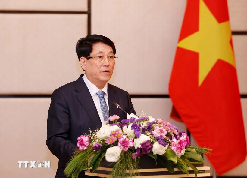
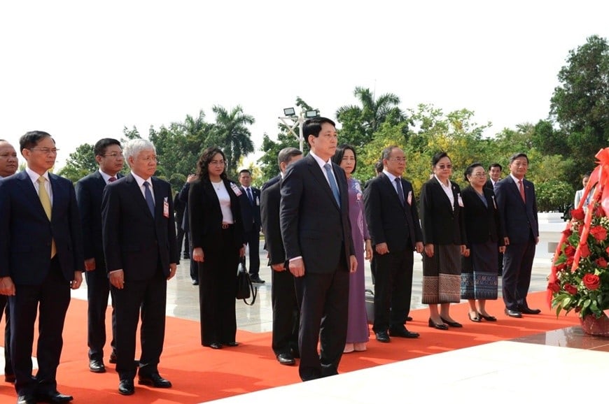
![[Photo] President Luong Cuong meets with Lao Prime Minister Sonexay Siphandone](https://vstatic.vietnam.vn/vietnam/resource/IMAGE/2025/4/25/3d70fe28a71c4031b03cd141cb1ed3b1)


![[Photo] Ho Chi Minh City welcomes a sudden increase in tourists](https://vstatic.vietnam.vn/vietnam/resource/IMAGE/2025/4/25/dd8c289579e64fccb12c1a50b1f59971)

![[Photo] Liberation of Truong Sa archipelago - A strategic feat in liberating the South and unifying the country](https://vstatic.vietnam.vn/vietnam/resource/IMAGE/2025/4/25/d5d3f0607a6a4156807161f0f7f92362)


Comment (0)